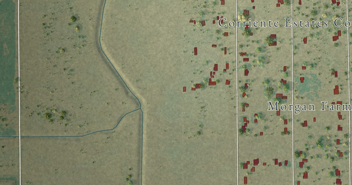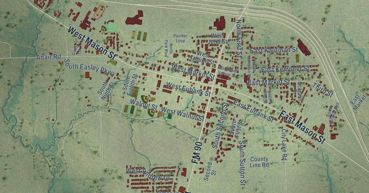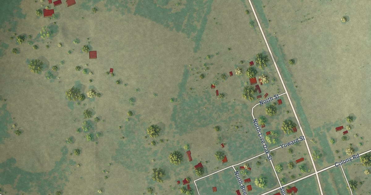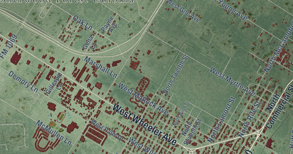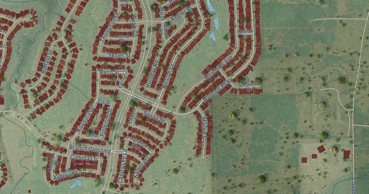
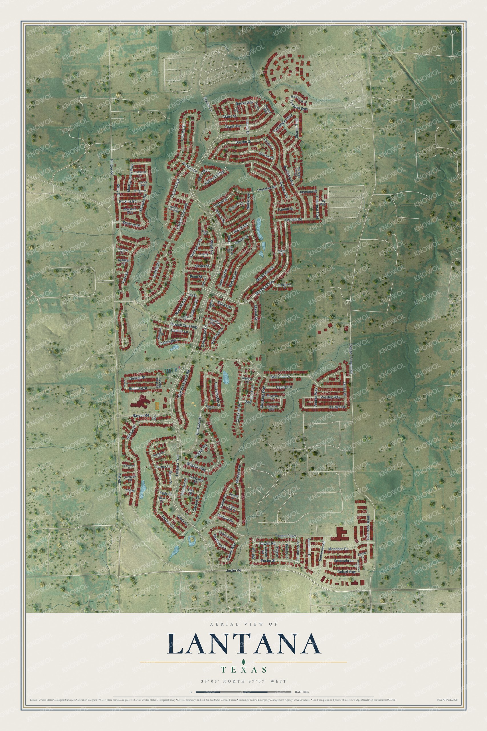
This beautifully detailed map of Lantana, Texas was created in 2026 using aerial imagery combined with modern topographical, census, street and landmark data. It’s a one-of-a-kind view of Lantana that combines accurate data with a vintage aesthetic. The map shows every building in its true location, many of the roads carry their names, and the shaded topographic relief shows the shape of the land.
Explore an aerial view of Lantana, Texas
On the map you’ll find Bonham Parkway, Navisota Drive, Peco Street, Fortner Road, FM 407, Weston Lane, Hondo Road, Justin Road, Primrose Trail, Foster Street, Witt Lane, Ashleigh Lane, and more. If you look closely you can even find your house accurately drawn in its correct location. Zoom in on the preview to look for yours.
Did you know this piece of Lantana, Texas history?
From the Handbook of Texas: "Lantana is on the Southern Pacific line near the junction of State Highway 345 and Farm Road 1561 three miles southeast of Rio Hondo in north central Cameron County. It was established around 1927 as a switch and loading station on the Texas and New Orleans Railroad when a line was constructed from Brownsville to the Edinburg Junction."
Take a closer look at the Lantana map
Street names on the Lantana, Texas map
These names are printed on the map of Lantana, Texas.
Streets and roads: Bonham Parkway, Navisota Drive, Peco Street, Fortner Road, FM 407, Weston Lane, Hondo Road, Justin Road, Primrose Trail, Foster Street, Witt Lane, Ashleigh Lane.
More street names, A to Z
Acton Lane, Arbor Court, Bailey Drive, Bayberry Avenue, Bentson Drive, Blanco Drive, Bluestem Drive, Bradford Street, Branch Crossing, Brownwood Avenue, Bryn Court, Buffalo Drive, Burnett Road, Calvert Road, Camilla Lane, Canyon Crossing, Capital Drive, Carolina Way, Carson Drive, Carter Street, Catherine Lane, Cedar Ridge, Central Way, Charles Street, Cherry Lee Lane, Christopher Street, Claire Street, Clear Fork Drive, Colorado Bend, Conner Way, Conroe Circle, Copper Canyon Road, Crane Street, Crimson Road, Crockett Drive, Cypress Creek Road, Dahlia Way, Dayton Drive, Elena Drive, Elmwood Court, Fannin Drive, Fire Wheel Way, Fullerton Street, Fulton Road, Garland Drive, Garrison Circle, Gavin Road, Geoffrey Drive, George Street, Golf Club Drive, Goliad Way, Granger Circle, Grant Avenue, Griffin Street, Haverford Lane, Hawthorne Circle, Hayden Road, Hickory Lane, Hilltop Road, Holliday Road, Honeysuckle Drive, Hunter Street, Iris Street, James Drive, Jasmine Street, Jefferson Way, Jordan Way, Kady Street, Kaitlyn Court, Kameryn Lane, Keeler Street, Kirby Drive, Lantana Trail, Lark Street, Lathrop Street, Leila Street, Leland Drive, Lily Way, Linden Street, Lockridge Road, Loving Branch, Marsh, Marshall Way, Marsh Street, Mason Street, Meadows Avenue, Mercer Avenue, Metalmark Court, Mission Lane, Mistletoe Drive, Monahan Drive, Montgomery Way, Mustang Way, Newham Street, Newton Street, Noble Avenue, Parson Drive, Penny Lane, Perkins Road, Perry Road, Petunia Drive, Powell Road, Presley Way, Ranger Drive, Ranger Lane, Rayzor Road, Reese Way, Sandhills Drive, Scarlet Trail, Seminole Lane, Senna Drive, Sewell Drive, Sheldon Road, Shepherd Court, Sherman Trail, Silver Leaf Circle, Simmons Road, Skyler Street, Springcreek Drive, Stacee Lane, Stanton Road, Sterling Ridge, Tanner Parkway, Terrace Drive, Thatcher Road, Thompson Drive, Trinidad Way, Tyler Drive, Victoria Lane, Wagner Way, Walker Crossing, Watson Road, Whitney Place, Wilson Drive, Wyatt Circle.
See the Lantana, Texas map on a wall
The Lantana map as an 18 x 24 inch print in a black frame.

This beautifully detailed map of Lantana makes an attractive addition to your office, library, or den, and it can even be used to teach children the geography and history of the area. It also makes a great gift for anyone who grew up in Lantana or moved away. When you’re done exploring, click here to get your copy of the Lantana map.