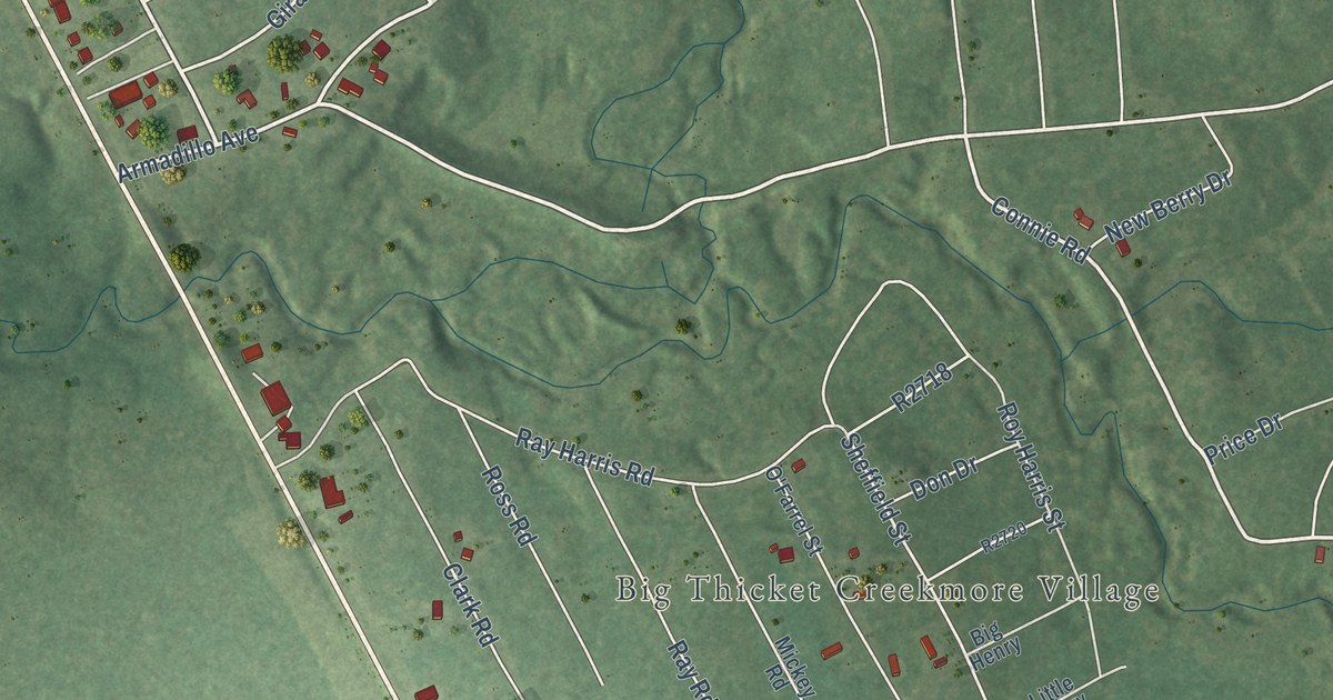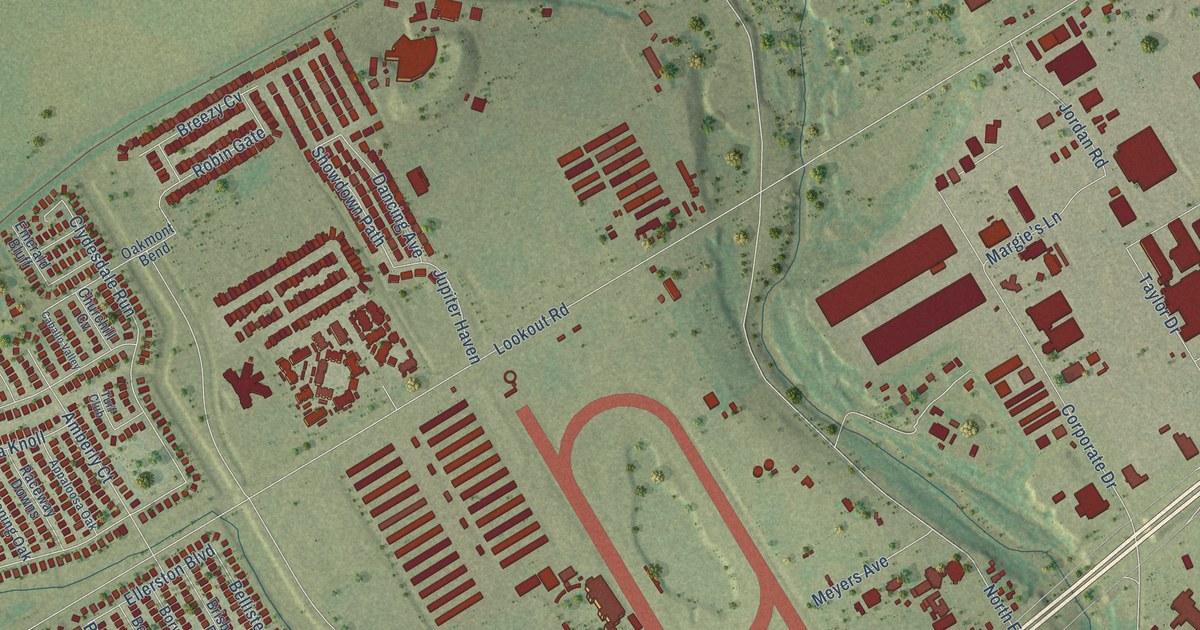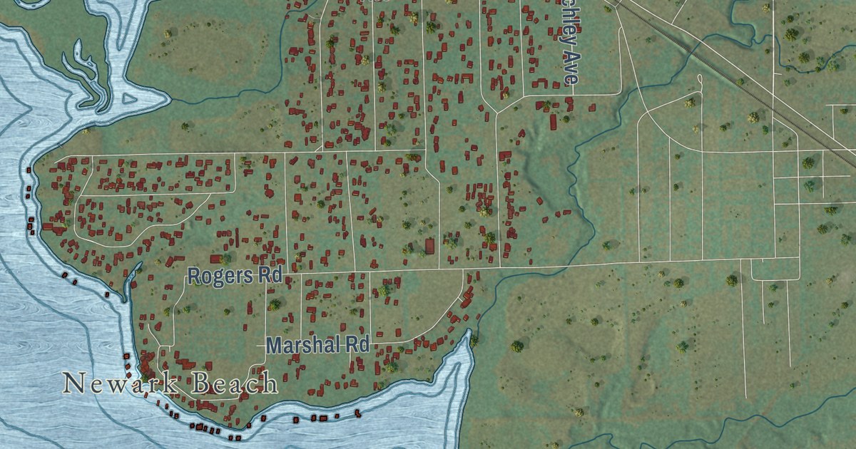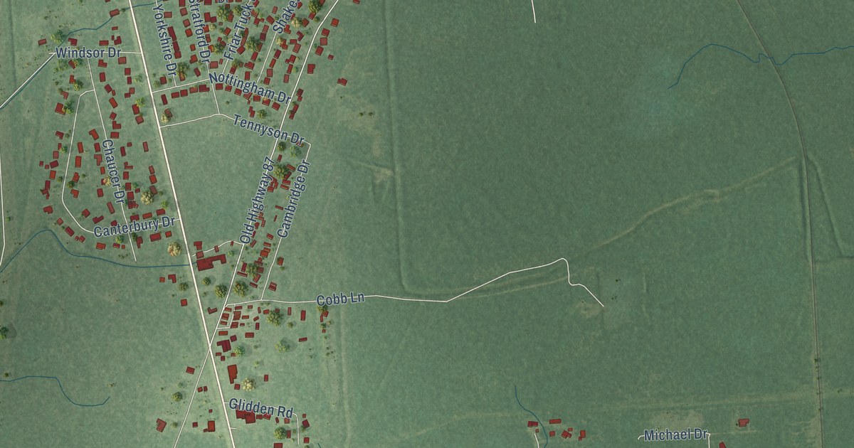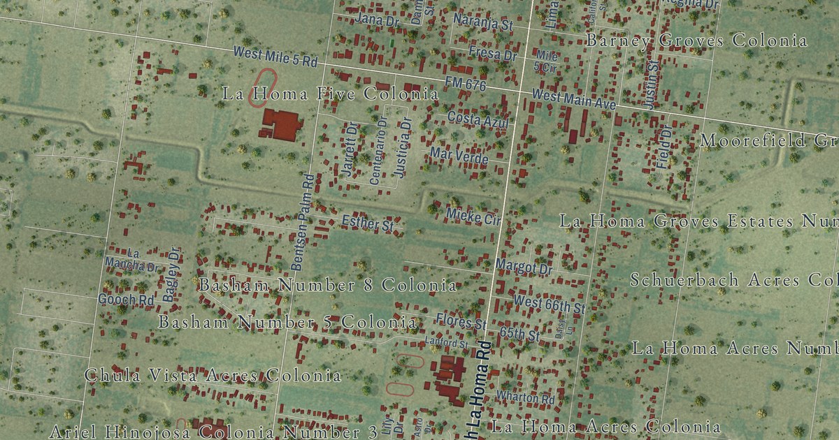
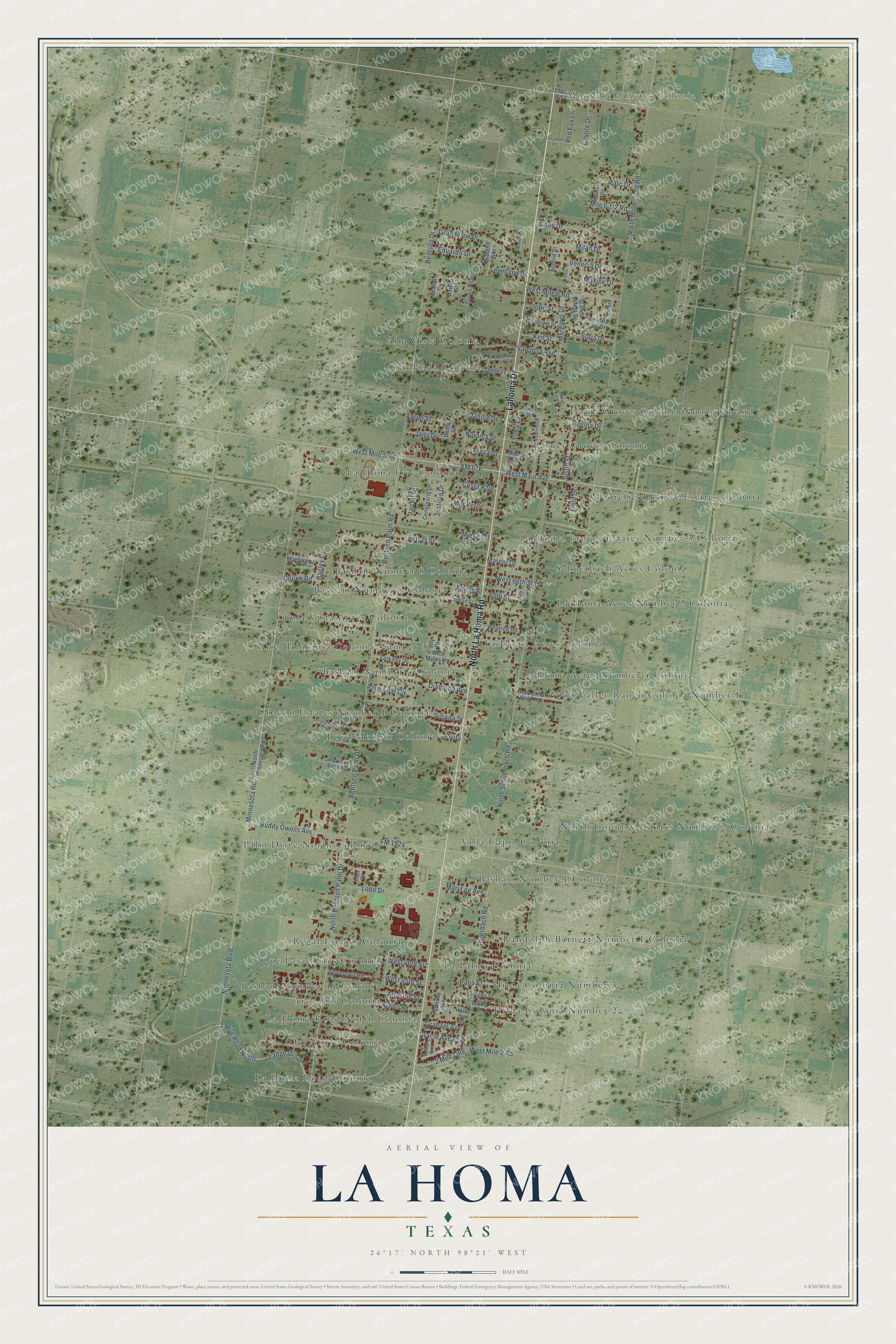
This beautifully detailed map of La Homa, Texas was created in 2026 using aerial imagery combined with modern topographical, census, street and landmark data. It’s a one-of-a-kind view of La Homa that combines accurate data with a vintage aesthetic. The map shows every building in its true location, many of the roads carry their names, and the shaded topographic relief shows the shape of the land.
Explore an aerial view of La Homa, Texas
On the map you’ll find Moorefield Acres Colonia, Alta Vista Colonia, Arco Iris Colonia, Ariel Hinojosa Colonia Number 3, Barney Groves Colonia, Basham Number 1 Colonia, Basham Number 11 Colonia, Basham Number 4 Colonia, Basham Number 5 Colonia, Basham Number 8 Colonia, Boyd Monger Colonia, Chacon Estates Number 1 Colonia, and more. If you look closely you can even find your house accurately drawn in its correct location. Zoom in on the preview to look for yours.
Did you know this piece of La Homa, Texas history?
From the Handbook of Texas: "A settlement called La Habitación, also known as Rancho San Luis or San Luisito, was established north of the river at the site of present-day Hidalgo, Texas, in 1774."
Take a closer look at the La Homa map
Street and place names on the La Homa, Texas map
These names are printed on the map of La Homa, Texas.
Places: Moorefield Acres Colonia, Alta Vista Colonia, Arco Iris Colonia, Ariel Hinojosa Colonia Number 3, Barney Groves Colonia, Basham Number 1 Colonia, Basham Number 11 Colonia, Basham Number 4 Colonia, Basham Number 5 Colonia, Basham Number 8 Colonia, Boyd Monger Colonia, Chacon Estates Number 1 Colonia, Chula Vista Acres Colonia, Citralinda Colonia, Del Norte Colonia, Good Valley Ranch Colonia Number 1, Hilda Colonia Number 2, Hilda Colonia Number 3, La Homa Acres Colonia, La Homa Acres Number 2 Colonia, La Homa Acres Number 4 Colonia, La Homa Five Colonia, La Homa Groves Colonia Number 1 and 2, La Homa Groves Estates Number 3 Colonia, La Homa Road Colonia, La Homa Road North Colonia, La Palma Colonia, Moorefield Grove Estates Colonia, North Country Estates Number 2 Colonia, Palm Drive North Colonia, Que Pasa Acres Colonia, Randolph Barnett Number 1 Colonia, Regal Estates Colonia, Schuerbach Acres Colonia and Villa Capri Colonia.
Streets and roads: North La Homa Road, Lahoma Drive, North Bentsen Palm Drive, Bentsen Palm Drive, West Mile 5 Road, West Main Avenue, 2 Mile Road North, Minnesota Boulevard, Minnesota Road, FM 676, North Schuerbach Road, Orange Grove.
More street names, A to Z
2 Mile Line, 7 Mi Road, 65th Street, Aaron Street, Arco Iris Street, Astro Drive, Bagley Drive, Bailey Avenue, Bentsen Drive, Bentsen Palm Road, Blanca Estela Drive, Brandi Court, Buddy Owens Avenue, California Street, Centenario Drive, Center Street, Coby Drive, Costa Azul, Coyote Drive, Coywolf Lane, Daisy Lane, Daniel Drive, Danny Street, Dawna Street, Delinda Lou Drive, Diamond Avenue, Eduardo Drive, El Ranchito Circle, Erin Avenue, Esther Street, Farmosa Avenue, Field Drive, Flores Street, FM 1924, Fresa Drive, Gooch Road, Gracie Avenue, Graham Avenue, Grandview Drive, Harvest Time Road, Hilda Street, Hollis Street, Jamie Lane, Jana Drive, Janice Drive, Jarrett Drive, John Street, Jose de la Cruz Road, Jovita, Justicia Drive, Justin Street, Karime Drive, Ken Street, La Mancha Drive, Lanford Street, Levelland Drive, Lily Drive, Lima Lane, Limon Drive, Lobo Drive, Lusby Street, Madrid Drive, Marc Drive, Margaret Drive, Margot Drive, Mari Lee Avenue, Mar Verde, Maxine Drive, Melissa Circle, Midland Avenue, Mieke Circle, Milan Drive, Mile 5 Circle, Nabors Road, Naranja Street, Naval Drive, North Minnesota Road, North Moorefield Road, Oslo Drive, Palm Leaf Circle, Paris Street, Pena Circle, Red Fox Lane, Regina Drive, Shuerbach Road, Sofia Drive, Susana Street, Thompson Road, Travis Neal, Valencia Avenue, Venecia Drive, West 45th Street, West 46th Street, West 66th Street, West Mile 2 Road, West Mile 4 Road, West Mile 6 Road, Wharton Road, Woodrow Street, Zarkana Drive.
See the La Homa, Texas map on a wall
The La Homa map as an 18 x 24 inch print in a black frame.

This beautifully detailed map of La Homa makes an attractive addition to your office, library, or den, and it can even be used to teach children the geography and history of the area. It also makes a great gift for anyone who grew up in La Homa or moved away. When you’re done exploring, click here to get your copy of the La Homa map.