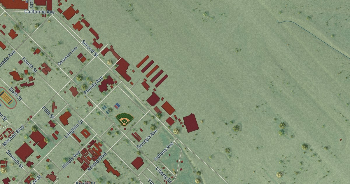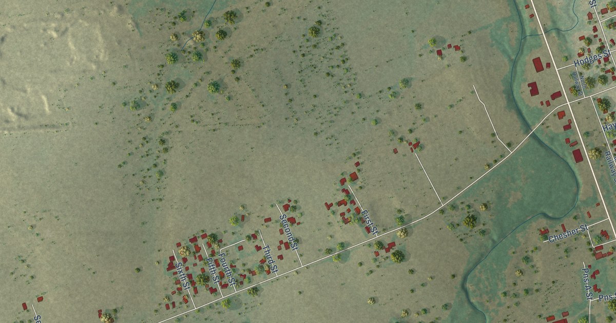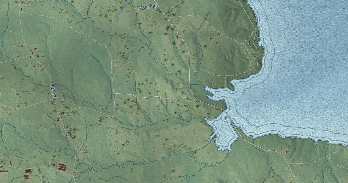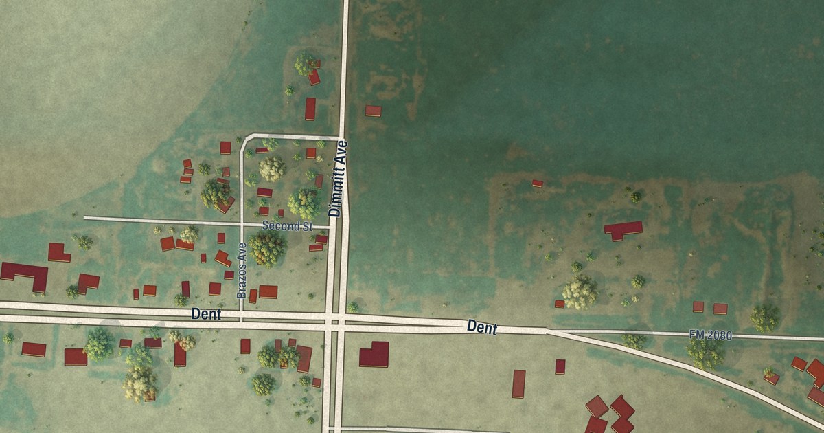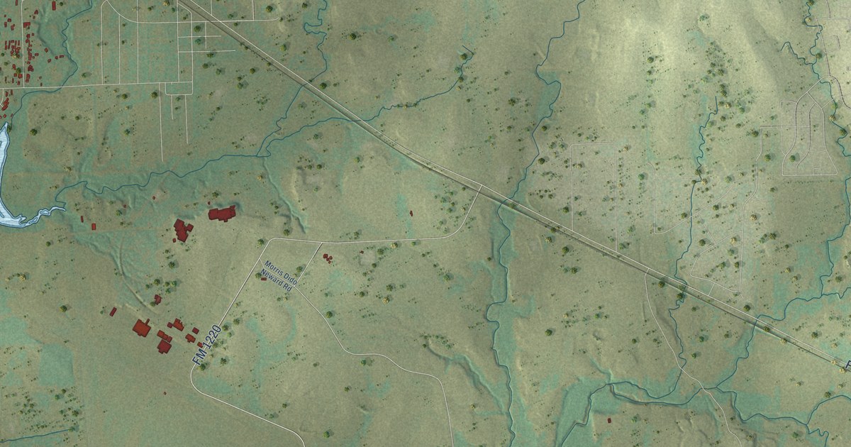
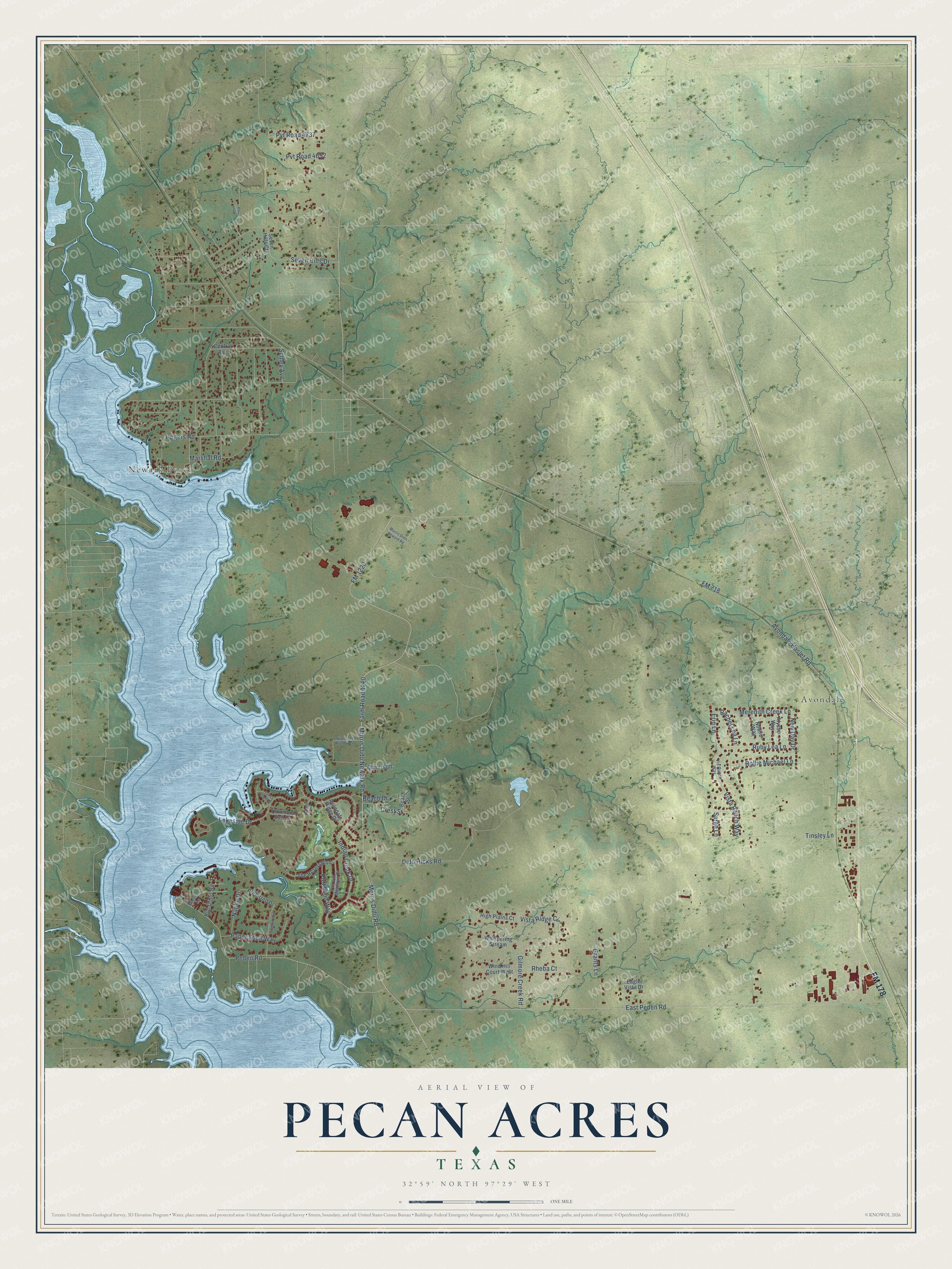
This beautifully detailed map of Pecan Acres, Texas was created in 2026 using aerial imagery combined with modern topographical, census, street and landmark data. It's a modern aerial view of Pecan Acres in Tarrant County, Texas, that combines modern data with a vintage aesthetic. The roads feature printed names, and if you look closely you can find your exact house accurately shown in its correct location.
Explore an aerial view of Pecan Acres, Texas
On this map you'll find Newark Beach, Avondale, FM 178, East Peden Road, FM 1220, Farm Road 1220, Peden Road, Morris Dido Road, Vista Ranch Way, FM 718, Crest Street, Morris Dido Newark Road, and more. Each red shape is a building, so zoom in on the preview and look for yours.
Every town has a first chapter, and Pecan Acres is no exception. Pecan Acres began as a residential development near the northeastern shore of Eagle Mountain Reservoir by the mid-1980s. It lies about twenty miles northwest of Fort Worth, on the line between Tarrant and Wise counties. That's from the Handbook of Texas.
Pecan Acres is a community in Tarrant County. The Census Bureau counted 4,808 people here in 2020.
Take a closer look at the Pecan Acres map
Names on this map
These names are printed on this map.
Places: Newark Beach and Avondale.
Streets and roads: FM 178, East Peden Road, FM 1220, Farm Road 1220, Peden Road, Morris Dido Road, Vista Ranch Way, FM 718, Crest Street, Morris Dido Newark Road, Avondale Haslet Road, Dido Hicks Road.
More street names, A to Z
Alysse Way, Avondale Ridge Drive, Beach Drive, Beach Street, Bud Cross Road, Central Avenue, Eagle Vista Drive, Erin Lane, Fairway Meadows Drive, Gilmore Creek Road, Grants Lane, High Plains Court, Indian Creek Drive, Indian Creek Road West, Lake Shore Drive, Lakeside Drive, Marshal Road, Meredith Creek Lane, Morris Dido Neward Road, Morrison, Native Drive, New Day Drive, Noelle Way, Palmer Drive, Paper Shell Way, Pecan Orchard Way, Portwood Way, Pr 4403, Preferred Drive, Pvt Road 4652, Pvt Road 4737, Rachel Lea Lane, Rheba Court, Rogers Road, Rollie Michael Lane, Ruby Lea Lane, Sarah Lane, Schley Avenue, Seven Hills Court, Seven Hills Drive, Singleton Road, The Resort Boulevard, Thurmond Sail Court, Tinsley Lane, Vis Ranch Way, Vista Ridge Circle, Whispering Stream, Wind Hill Court West.
See it on a wall
The Pecan Acres map as a framed print. Swipe for more.


Created by KNOWOL in 2026. The buildings are small red shapes, the roads carry their printed names, and shaded relief shows the shape of the land. The title panel reads "AERIAL VIEW OF PECAN ACRES, TEXAS" with 32°59' NORTH 97°29' WEST.
Hang it in the hallway, the office or the cabin, or give it to someone who left Pecan Acres and still calls it home. Open the preview and look for a street you know. See sizes and frames for the Pecan Acres map.