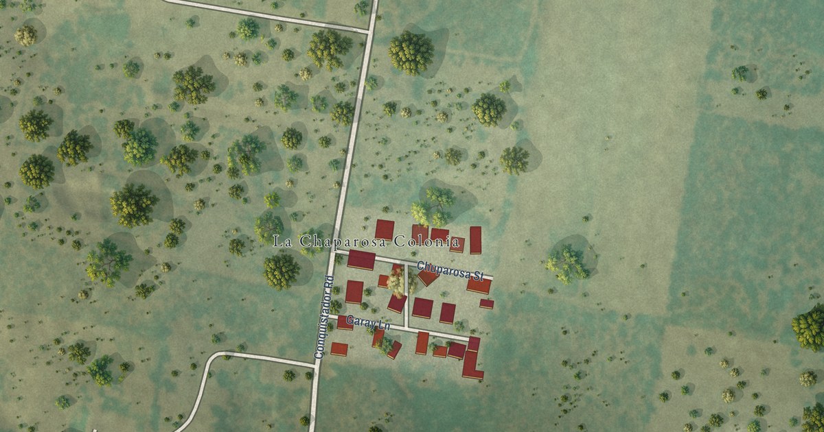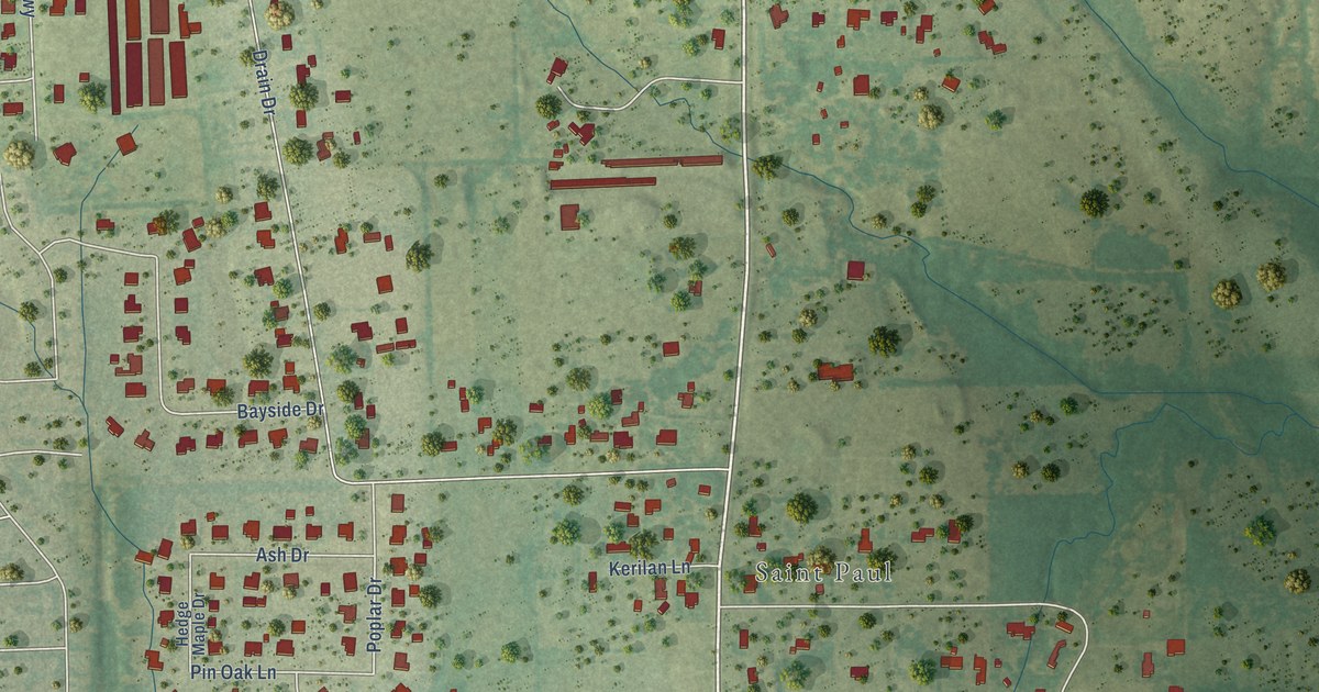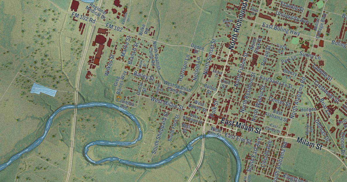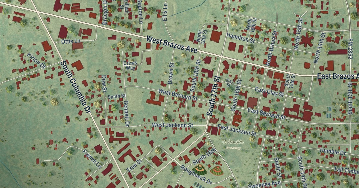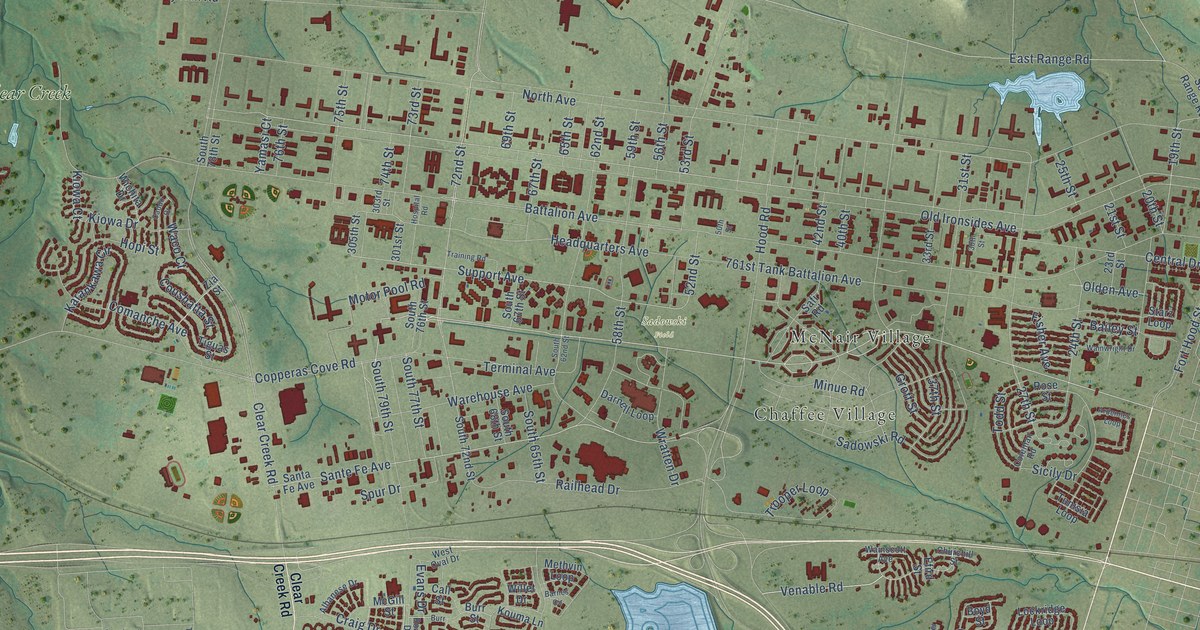
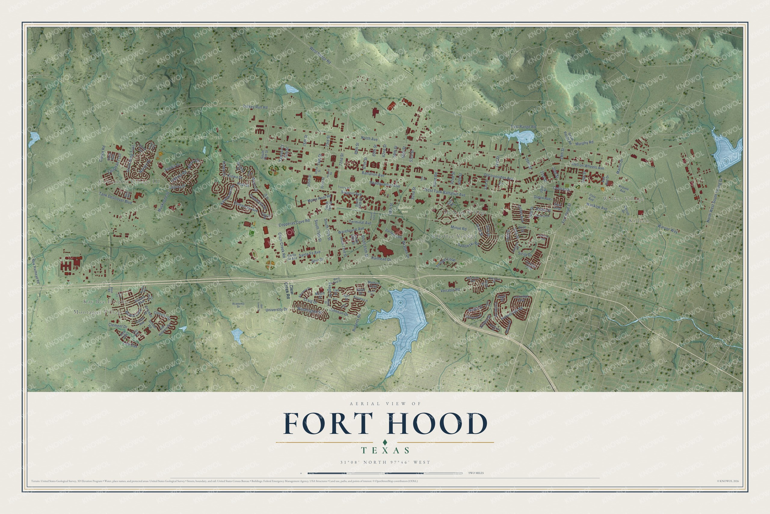
This beautifully detailed map of Fort Hood, Texas was created in 2026 using aerial imagery combined with modern topographical, census, street and landmark data. It's a modern aerial view of Fort Hood in Coryell County, Texas, that combines modern data with a vintage aesthetic. The roads feature printed names, and if you look closely you can find your exact house accurately shown in its correct location.
Explore an aerial view of Fort Hood, Texas
On this map you'll find Montague Village, Kay Bee Heights, Comanche Village III, Killeen, Walker Village, Sadowski Field, McNair Village, Chaffee Village, Courses of Clear Creek, Tank Destroyer Boulevard, Washington Street, Venable Road, and more. Each red shape is a building, so zoom in on the preview and look for yours.
Every town has a first chapter, and Fort Hood is no exception. Camp Hood officially opened on September 18, 1942, as a tank destroyer training center for the Second World War. Some 300 farming and ranching families had to give up their land on very short notice, and at times as many as 100,000 soldiers were in training there. In 2023 the post was renamed Fort Cavazos for Gen. Richard Cavazos, the first Mexican American four-star general. In 2025 it became Fort Hood again, this time honoring Col. Robert B. Hood. That's from the Handbook of Texas.
Fort Hood is a community in Coryell County.
Take a closer look at the Fort Hood map
Names on this map
These names are printed on this map.
Places: Montague Village, Kay Bee Heights, Comanche Village III, Killeen, Walker Village, Sadowski Field, McNair Village, Chaffee Village and Courses of Clear Creek.
Streets and roads: Tank Destroyer Boulevard, Washington Street, Venable Road, South 79th Street, Sante Fe Avenue, East Range Road, Craig Drive, Turkey Run Road, 72nd Street, Support Avenue, Copperas Cove Road, Live Oak.
More street names, A to Z
16th Street, 19th Street, 20th Street, 21st Street, 23rd Street, 24th Street, 25th Street, 27th Street, 30th Street, 31st Street, 33rd Street, 37th Street, 40th Street, 42nd Street, 50th Street, 52nd Street, 53rd Street, 56th Street, 58th Street, 59th Street, 62nd Street, 65th Street, 67th Street, 69th Street, 73rd Street, 74th Street, 75th Street, 76th Street, 301st Street, 303rd Street, 305th Street, 761st Tank Battalion Avenue, Academic Drive, Albanese Drive, Ardennes Loop, Austin Avenue, Bailey Street, Barnes Circle, Base Road, Battalion Avenue, Bear Run, Bell Tower Drive, Biloxi Circle, Bowie Loop, Boyd Street, Burr, Burr Street, Caddo Drive, Call Street, Carroll Drive, Central Drive, Churchill Street, Clarke Road, Clear Creek Road, Clement Drive, Cole Avenue, Coleman Road, Collector Road, Comanche Avenue, Coushatta Street, Crockett Street, Cutler Street, Darnell Loop, Dillingham Street, Drum Song Trail, Efird Street, Evans Drive, Fisher Avenue, Fort Hood Street, Groff Street, Headquarters Avenue, Hell on Wheels Avenue, Hood Road, Hoover Hill Road, Hopi Street, Hospital Road, Johnson Drive, Karankawa Circle, Kildea Street, Kiowa Court, Kiowa Drive, Kiowa Loop, Kister Court, Kouma Lane, Krause Avenue, Laguna Drive, Laguna Road, Lamar Avenue, Lockridge Loop, Martin Drive, McGill Street, Methvin Loop, Minue Road, Moore Street, Motor Pool Road, Murphy Road, Muskogee Street, Navajo Drive, New Railhead Road, North Avenue, Northrup Street, North West South Young Drive, Olden Avenue, Old Ironsides Avenue, Ovnand Boulevard, Perry Circle, Pony Run, Post Oak, Railhead Drive, Red Bud Drive, Red Oak, Roark Drive, Roberts Road, Rose Street, Rusk Circle, Sadowski Road, Safi Road, San Antonio Road, Sandia Drive, Santa Fe Avenue, School Road, Sicily Drive, Sioux Circle, South 62nd Street, South 65th Street, South 67th Street, South 68th Street, South 72nd Street, South 76th Street, South 77th Street, South 78th Street, South Range Road, Spur Drive, Starz Loop, Talisman Trail, Terminal Avenue, Tiguas Street, Todd Street, Training Road, Trooper Loop, Tunisia Loop, University Drive, Waco Court, Wainscott Avenue, Wainwright Drive, Wales Street, Warehouse Avenue, Warrior Way, Waskow Avenue, West Oval Drive, West Range Road, Wichita Drive, Willet Drive, Wratten Drive, Yamasi Court, Yeakel Street, Zia Street.
See it on a wall
The Fort Hood map as a framed print. Swipe for more.


Created by KNOWOL in 2026. The buildings are small red shapes, the roads carry their printed names, and shaded relief shows the shape of the land. The title panel reads "AERIAL VIEW OF FORT HOOD, TEXAS" with 31°08' NORTH 97°46' WEST.
Hang it in the hallway, the office or the cabin, or give it to someone who left Fort Hood and still calls it home. Open the preview and look for a street you know. See sizes and frames for the Fort Hood map.