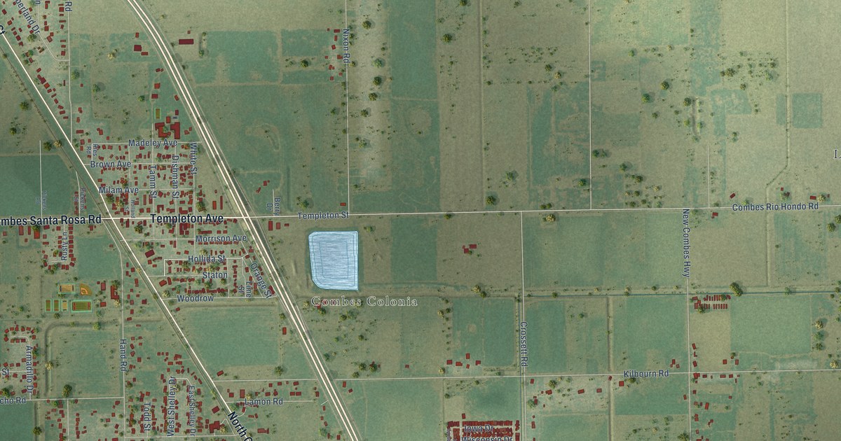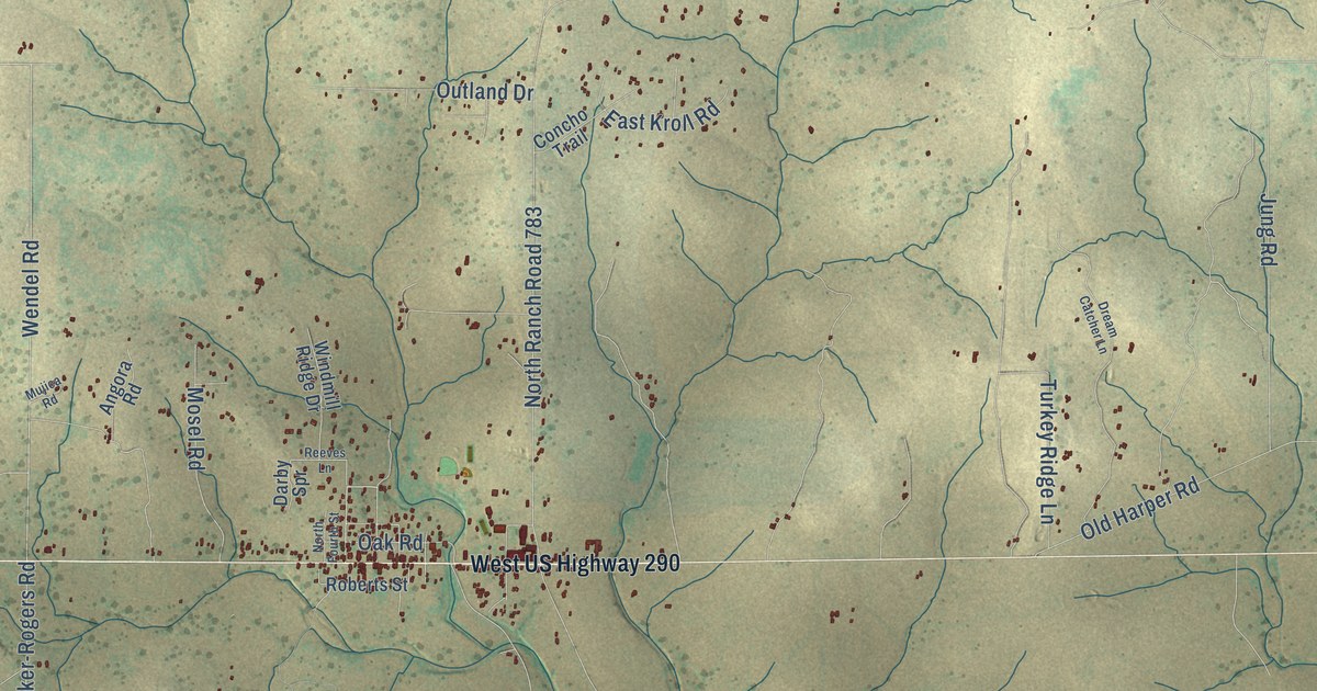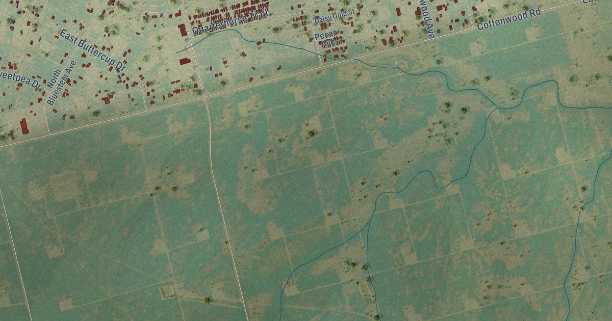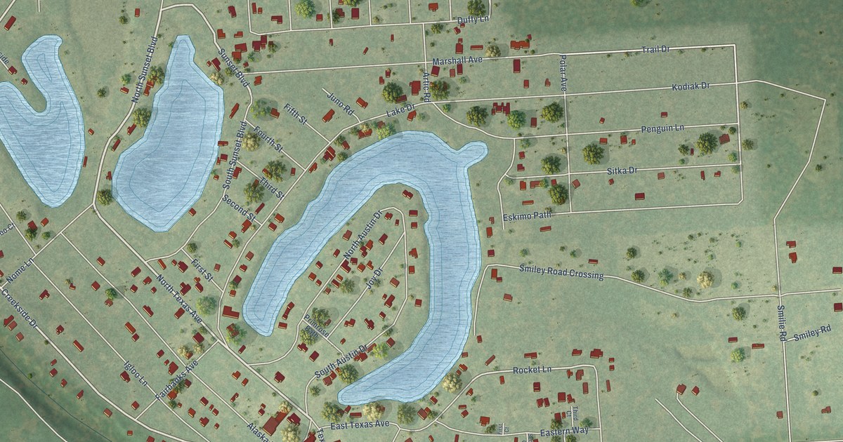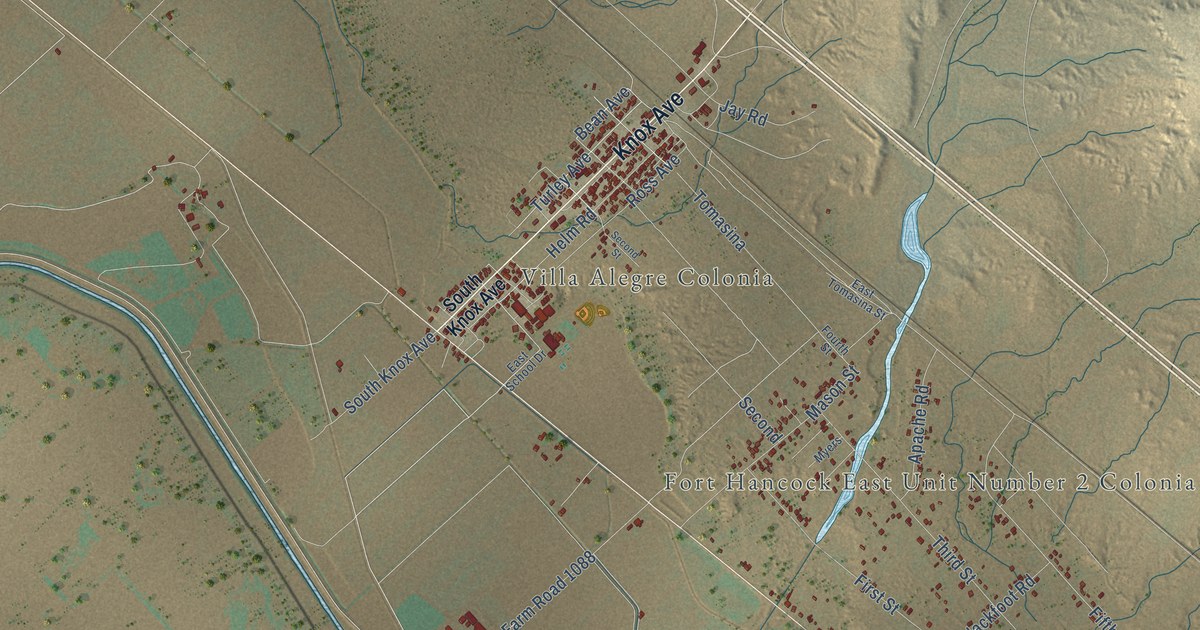
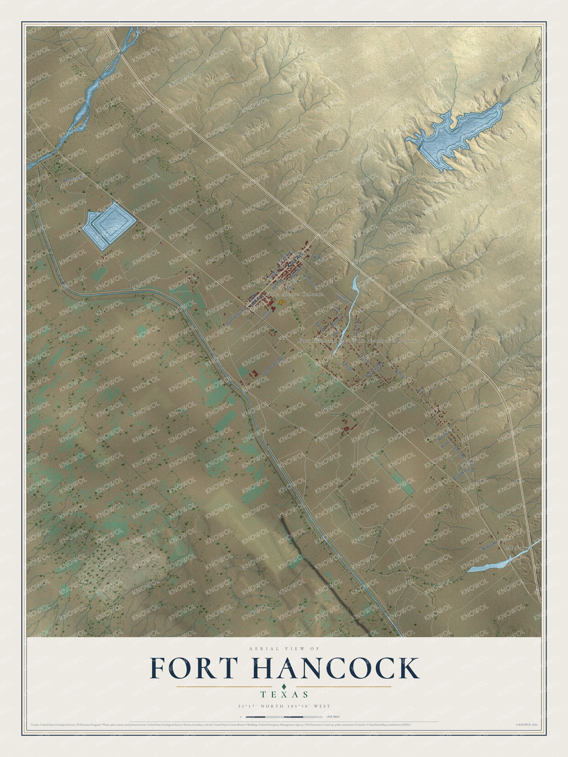
This beautifully detailed map of Fort Hancock, Texas was created in 2026 using aerial imagery combined with modern topographical, census, street and landmark data. It's a modern aerial view of Fort Hancock in Hudspeth County, Texas, that combines modern data with a vintage aesthetic. The roads feature printed names, and if you look closely you can find your exact house accurately shown in its correct location.
Explore an aerial view of Fort Hancock, Texas
On this map you'll find McNary, Fort Hancock East Unit Number 2 Colonia, Villa Alegre Colonia, Knox Avenue, Bean Avenue, Helm Road, Fifth Street, Third Street, Farm Road 1088, Mason Street, First Street, Rail Road, and more. Each red shape is a building, so zoom in on the preview and look for yours.
Here is a piece of Fort Hancock history. Benito Martinez graduated from Fort Hancock High School in May 1951. As a machine gunner in the Korean War, he made a lone six-hour stand near Satae-ri that let his unit regain key ground. He earned the Medal of Honor for that stand and gave his life there on September 6, 1952. His state historical marker stands at Benito Martinez Elementary School in Fort Hancock. That's from the Texas Historical Commission.
Fort Hancock is a community in Hudspeth County. The Census Bureau counted 1,052 people here in 2020.
Take a closer look at the Fort Hancock map
Names on this map
These names are printed on this map.
Places: McNary, Fort Hancock East Unit Number 2 Colonia and Villa Alegre Colonia.
Streets and roads: Knox Avenue, Bean Avenue, Helm Road, Fifth Street, Third Street, Farm Road 1088, Mason Street, First Street, Rail Road, Wilkey Road, Tomasina, Blackfoot Road.
More street names, A to Z
Apache Road, Broadway, Center Road, East School Drive, East Tomasina Street, Fourth Street, Henderso Street, Jay Road, McVay, Myers, Ross Avenue, Second, Second Street, South Knox Avenue, Turley Avenue, Vis Cr, West Road.
See it on a wall
The Fort Hancock map as a framed print. Swipe for more.


Created by KNOWOL in 2026. The buildings are small red shapes, the roads carry their printed names, and shaded relief shows the shape of the land. The title panel reads "AERIAL VIEW OF FORT HANCOCK, TEXAS" with 31°17' NORTH 105°50' WEST.
It suits a den, a classroom or a front hall, and it makes a gift for anyone with Fort Hancock roots. Open the preview and find the block you know. See sizes and frames for the Fort Hancock map.