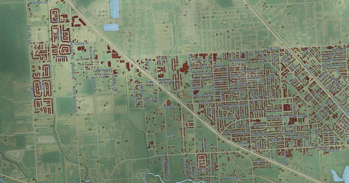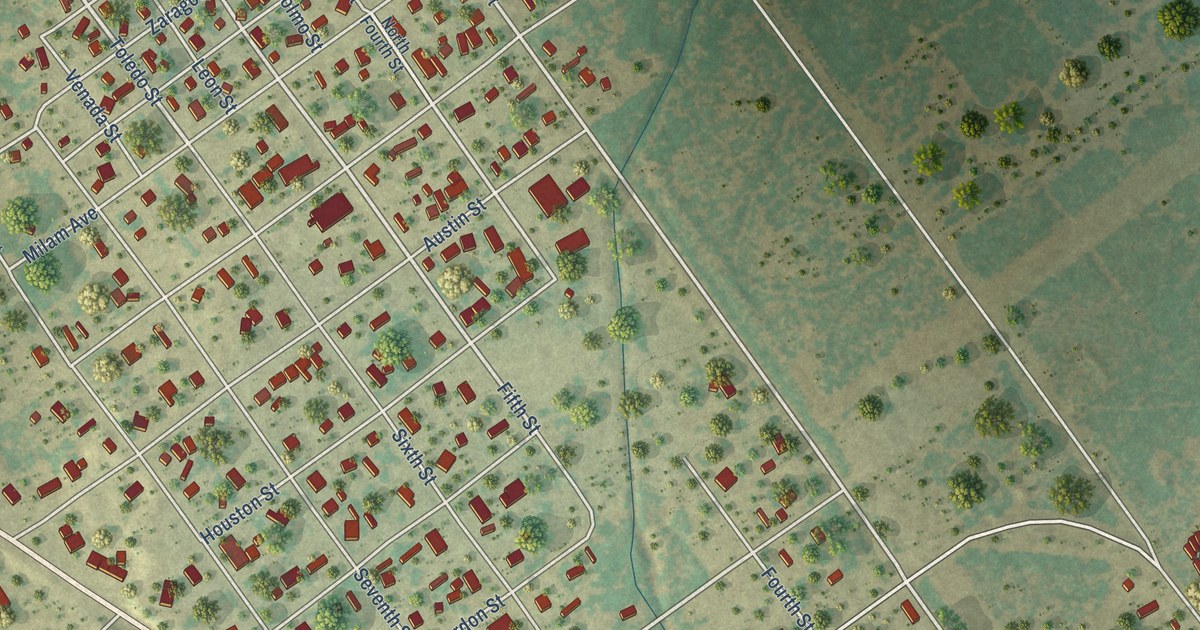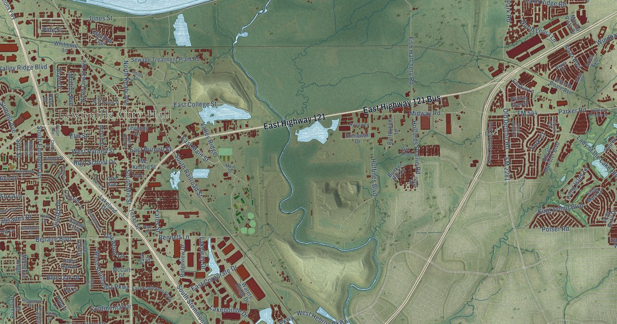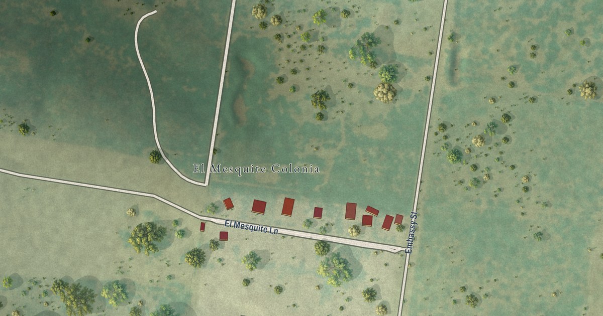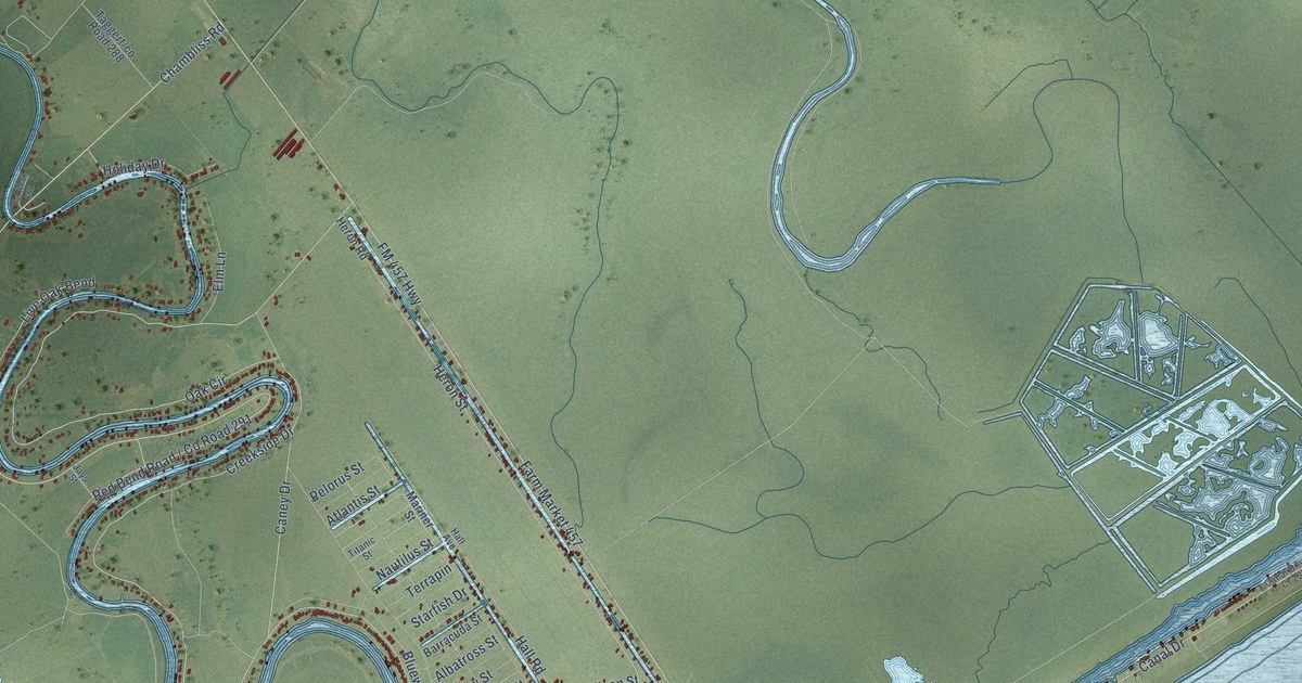
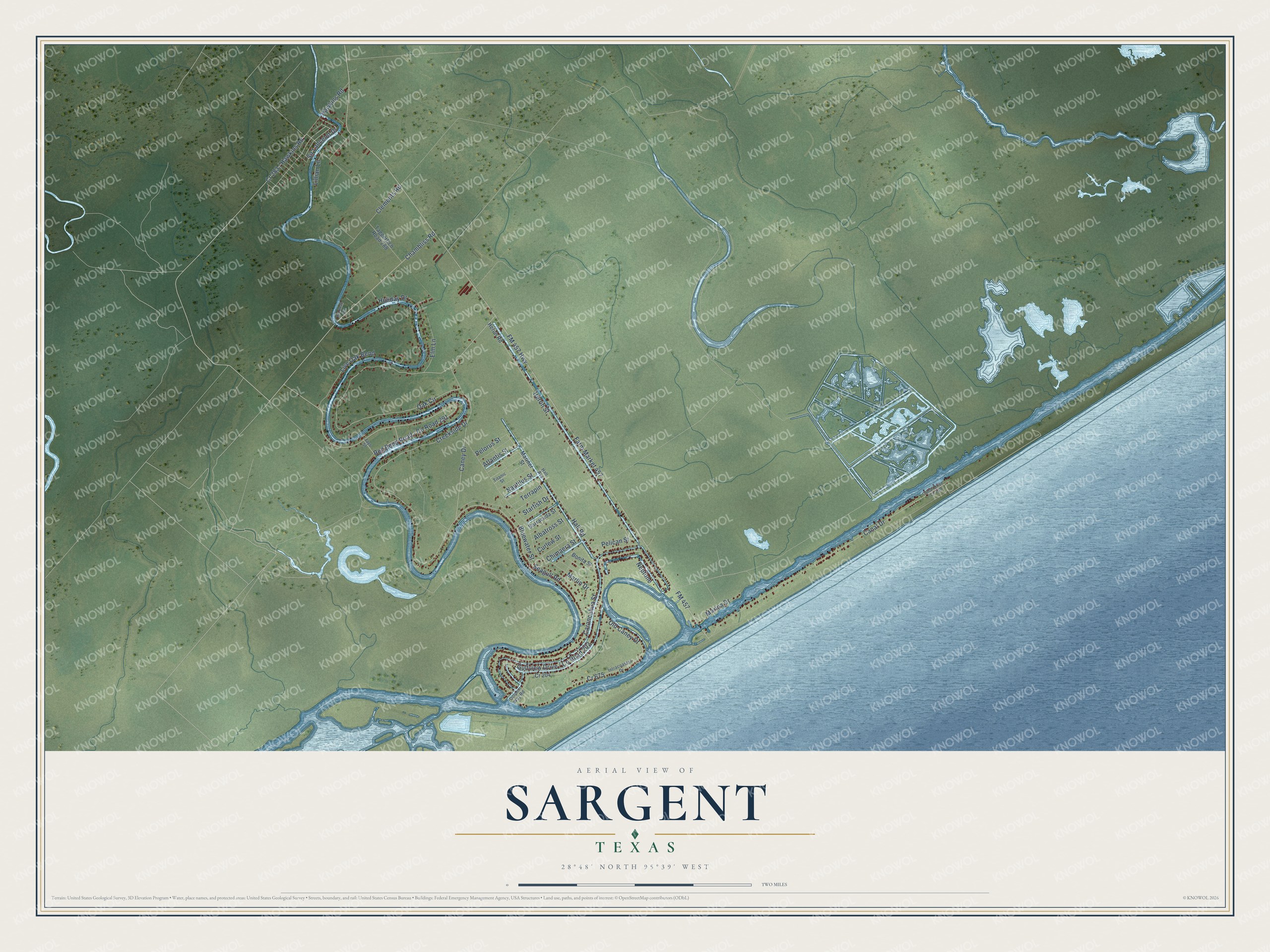
This beautifully detailed map of Sargent, Texas was created in 2026 using aerial imagery combined with modern topographical, census, street and landmark data. It's a modern aerial view of Sargent in Matagorda County, Texas, that combines modern data with a vintage aesthetic. The roads feature printed names, and if you look closely you can find your exact house accurately shown in its correct location.
Explore an aerial view of Sargent, Texas
On this map you'll find Hall Road, Pelican Street, Old Caney Drive, Sir Lancelot Drive, Gulfview Drive / Co Road 202, Red Bend Road / Co Road 291, Chambliss Road, Nautilus Street, Heron Street, Seagull Road, Farm Market 457, Caney Drive, and more. Each red shape is a building, so zoom in on the preview and look for yours.
Sargent has a story worth telling. Sargent is named for George Sargent, who came to Texas from Cornwall, England, in 1834 and built a house near Caney Creek. During the Civil War he shipped his beef and cotton out of Caney Creek, through the Union blockade, without being caught. In the summer of 1875 his son John and some neighbors drove more than 3,000 cattle along the Chisholm Trail to Abilene. That's from the Handbook of Texas.
Sargent is a community in Matagorda County. The Census Bureau counted 1,212 people here in 2020.
Take a closer look at the Sargent map
Names on this map
These names are printed on this map.
Streets and roads: Hall Road, Pelican Street, Cr 675, Old Caney Drive, Sir Lancelot Drive, Chambliss Road, Nautilus Street, Heron Street, Seagull Road, Farm Market 457, Caney Drive, FM 457 Highway.
More street names, A to Z
Albatross Street, Atlantis Street, Barracuda Street, Bluewater Street, Bonita Street, Canal Drive, Carancahua Street, Chimaera Street, Clements Road, Cr 204, Creekside Drive, Curlew Street, Dolphin Way Road, Elm Lane, FM 457, Hall Avenue, Hawkins Road, Heron Road, Holiday Drive, Intracoastal Drive, Jays Street, Lillian Lane, Live Oak Bend, Marina Drive, Mariner Street, Marlin Drive, Neptune, Oak Circle, Pelorus Street, Pvt Road 651, Starfish Drive, Terrapin, Titanic Street.
See it on a wall
The Sargent map as a framed print. Swipe for more.


Created by KNOWOL in 2026. The buildings are small red shapes, the roads carry their printed names, and shaded relief shows the shape of the land. The title panel reads "AERIAL VIEW OF SARGENT, TEXAS" with 28°48' NORTH 95°39' WEST.
It looks right in a kitchen, an office or a den, and it's a gift for anyone who grew up in Sargent or moved away. Open the preview and find your street. See sizes and frames for the Sargent map.