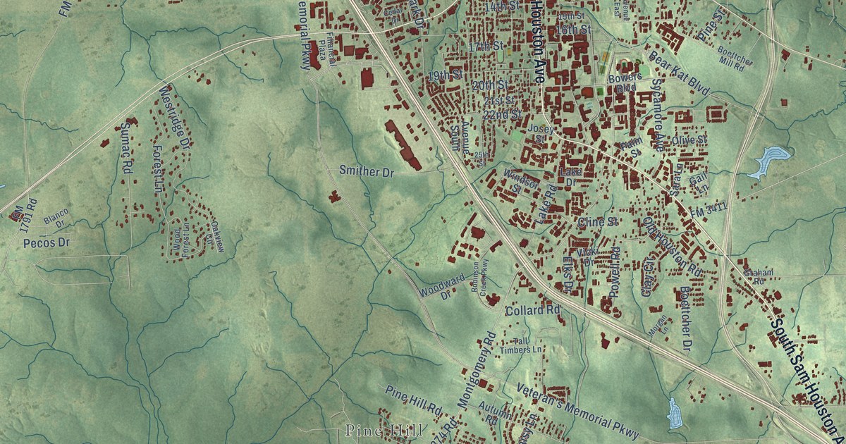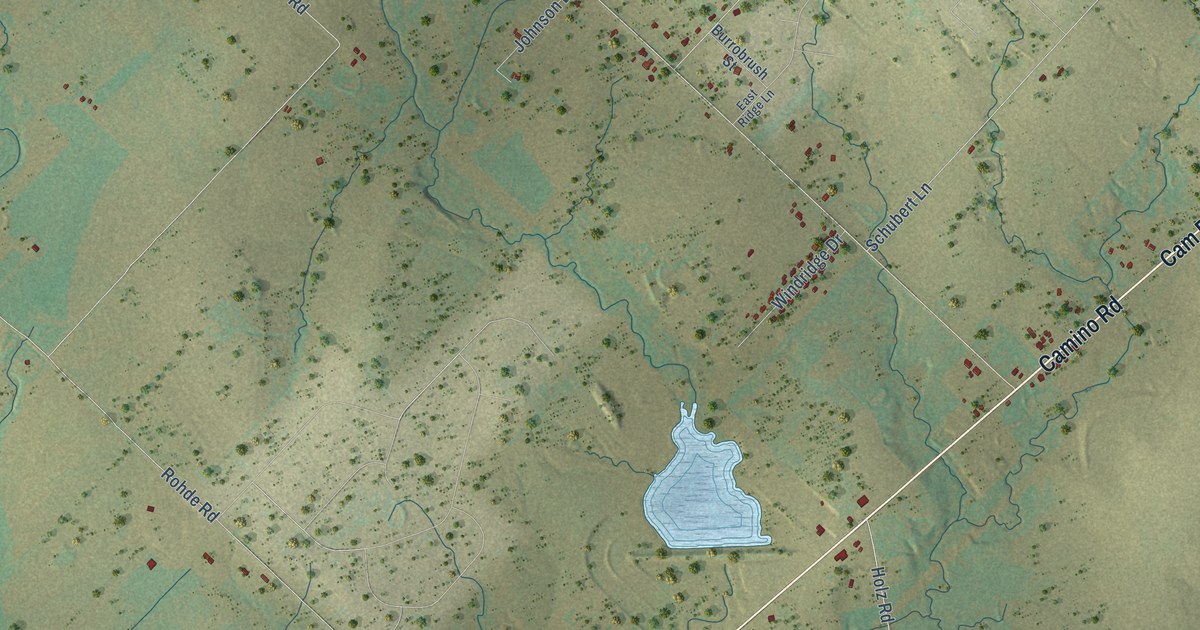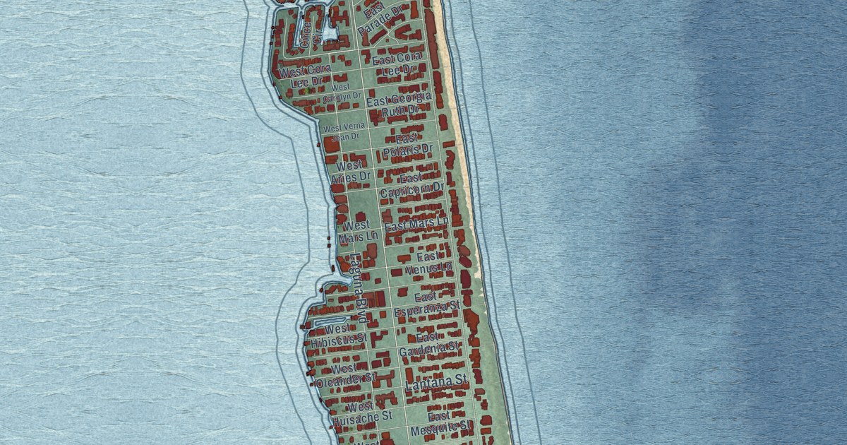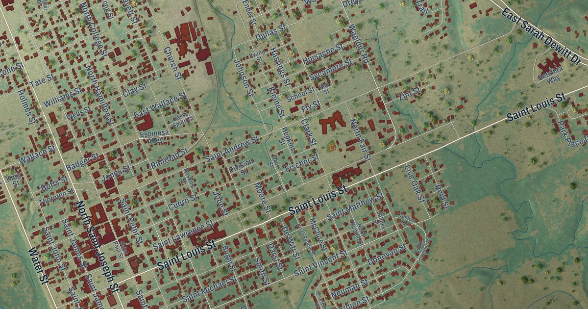
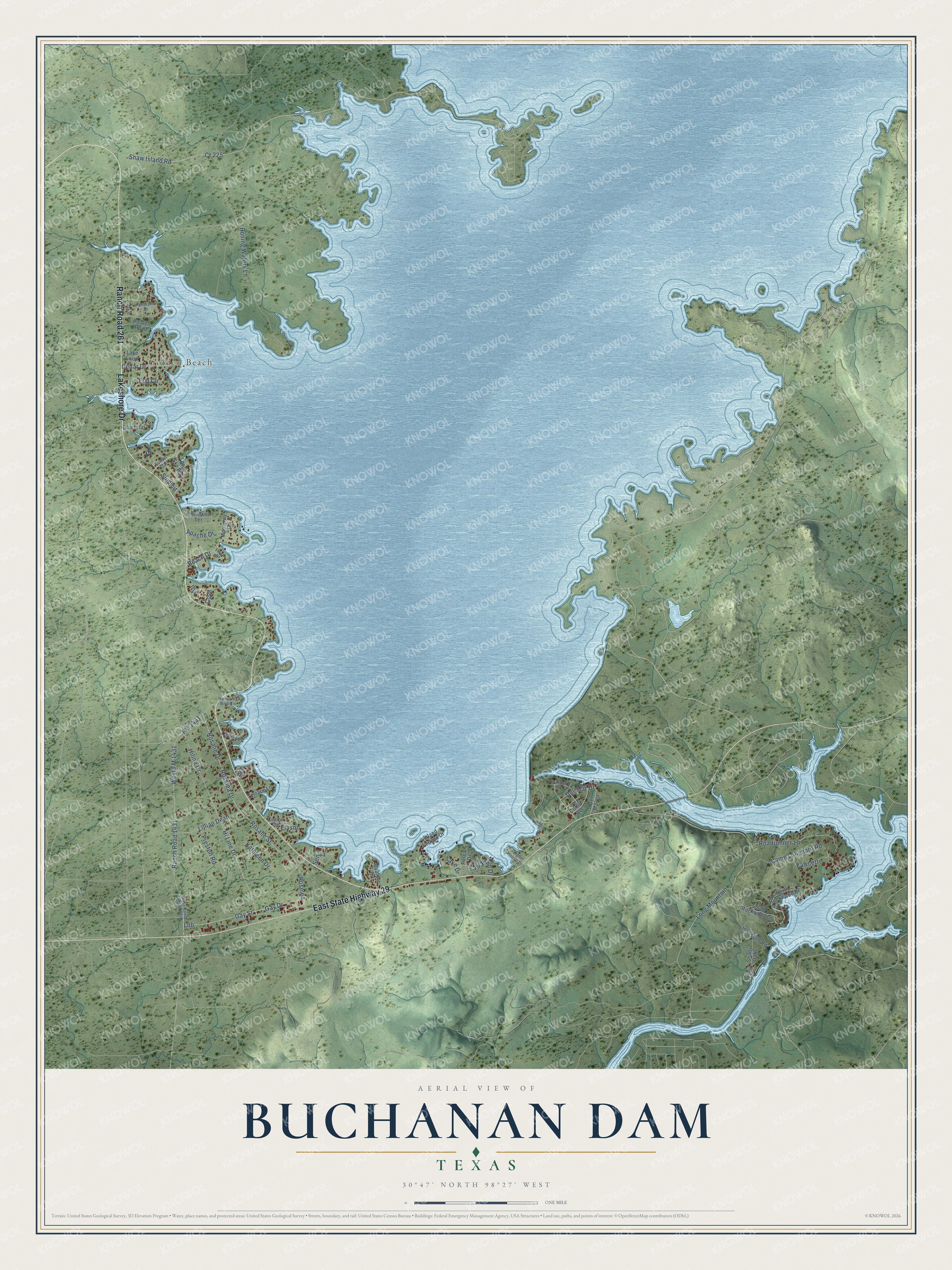
This beautifully detailed map of Buchanan Dam, Texas was created in 2026 using aerial imagery combined with modern topographical, census, street and landmark data. It's a modern aerial view of Buchanan Dam in Llano County, Texas, that combines modern data with a vintage aesthetic. The roads feature printed names, and if you look closely you can find your exact house accurately shown in its correct location.
Explore an aerial view of Buchanan Dam, Texas
On this map you'll find Golden Beach, Ranch Road 261, Lakeshore Drive, East State Highway 29, Shaw Island Road, Elm Circle, Senisa, Cedar Drive, Gay Drive, Gay Street, Roselea, Lillian Dean, and more. Each red shape is a building, so zoom in on the preview and look for yours.
Buchanan Dam has a story worth telling. Buchanan Dam began as the construction camp for the first of the big flood control and power dams on the Colorado River. After bankruptcy shut the project down in 1932, Congressman James Paul Buchanan won federal money to revive it in 1934, and the dam, the post office and the town were renamed in his honor. The project was first called Bluffton Dam, then Hamilton Dam. The finished dam was dedicated on October 16, 1937. That's from the Handbook of Texas.
Buchanan Dam is a community in Llano County. The Census Bureau counted 1,508 people here in 2020.
Take a closer look at the Buchanan Dam map
Names on this map
These names are printed on this map.
Places: Golden Beach.
Streets and roads: Ranch Road 261, Lakeshore Drive, East State Highway 29, Shaw Island Road, Elm Circle, Senisa, Cedar Drive, Gay Drive, Gay Street, Roselea, Lillian Dean, Lnb.
More street names, A to Z
Apache Drive, Beach Drive, Bluebriar Lane, Blue Sky Way, Boulder Drive, Buchanan Drive, Camp Longhorn Road, Carlson Circle, Cherokee Terrace, Cortez Avenue, Cove, Cr 225, Del-Mar Drive, Del Mar Drive, Eagle Drive, East Fawn Drive, Ellison, Fawcett, Floyd Drive, FM 1431, Forest Drive, Hi Line Drive, Hiline Drive, Holt Lane, Humming Bird Circle, Inks Dam Road, Iris, Island Lodges Drive, Kathleen Drive, Lake Drive, Lake Loop, Light House Drive, Long Mountain, Monteray Drive, North Rockwood Drive, Oak Street, Panorama Drive, Pirates Point, Preston Road, Ranch Road 1431, Roadrunner Lane, Rolling Waters Lane, Rosalie Drive, Rosalie Street, Roselea Drive, Shady Oaks, South Rockwood Drive, Summit, Sunset Trail, Terrace Lane, Treadwell, Trinidad Street, West FM 1431, West Ranch Road 1431.
See it on a wall
The Buchanan Dam map as a framed print. Swipe for more.


Created by KNOWOL in 2026. The buildings are small red shapes, the roads carry their printed names, and shaded relief shows the shape of the land. The title panel reads "AERIAL VIEW OF BUCHANAN DAM, TEXAS" with 30°47' NORTH 98°27' WEST.
It looks right in a kitchen, an office or a den, and it's a gift for anyone who grew up in Buchanan Dam or moved away. Open the preview and find your street. See sizes and frames for the Buchanan Dam map.