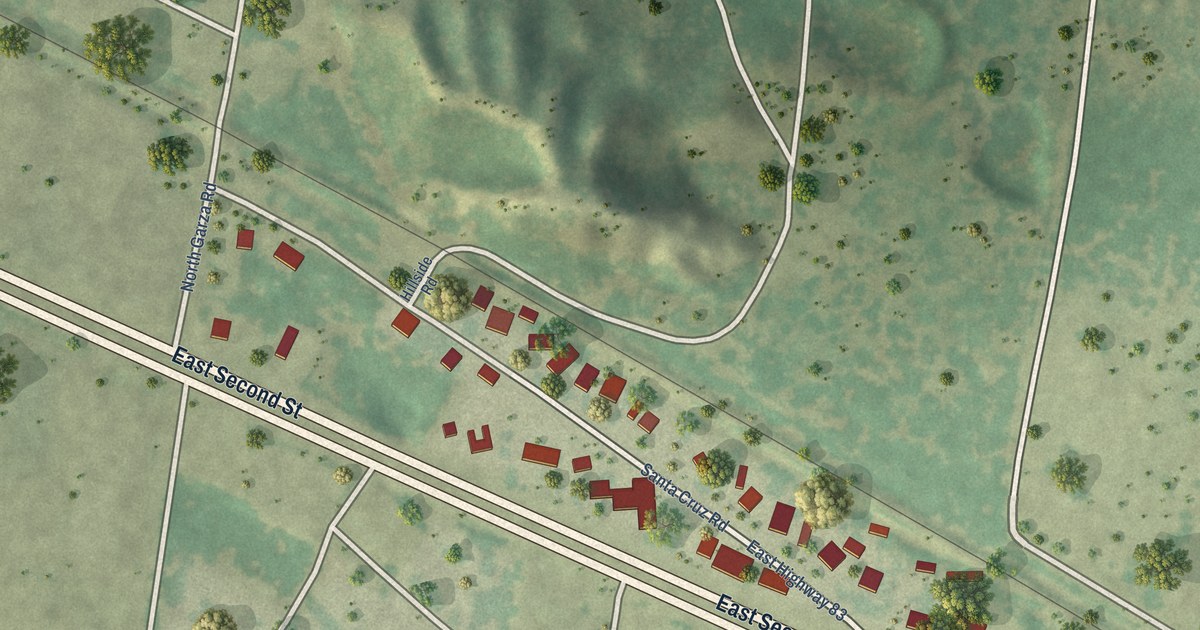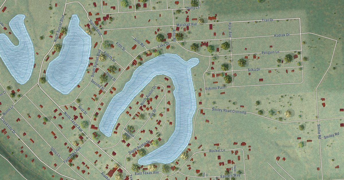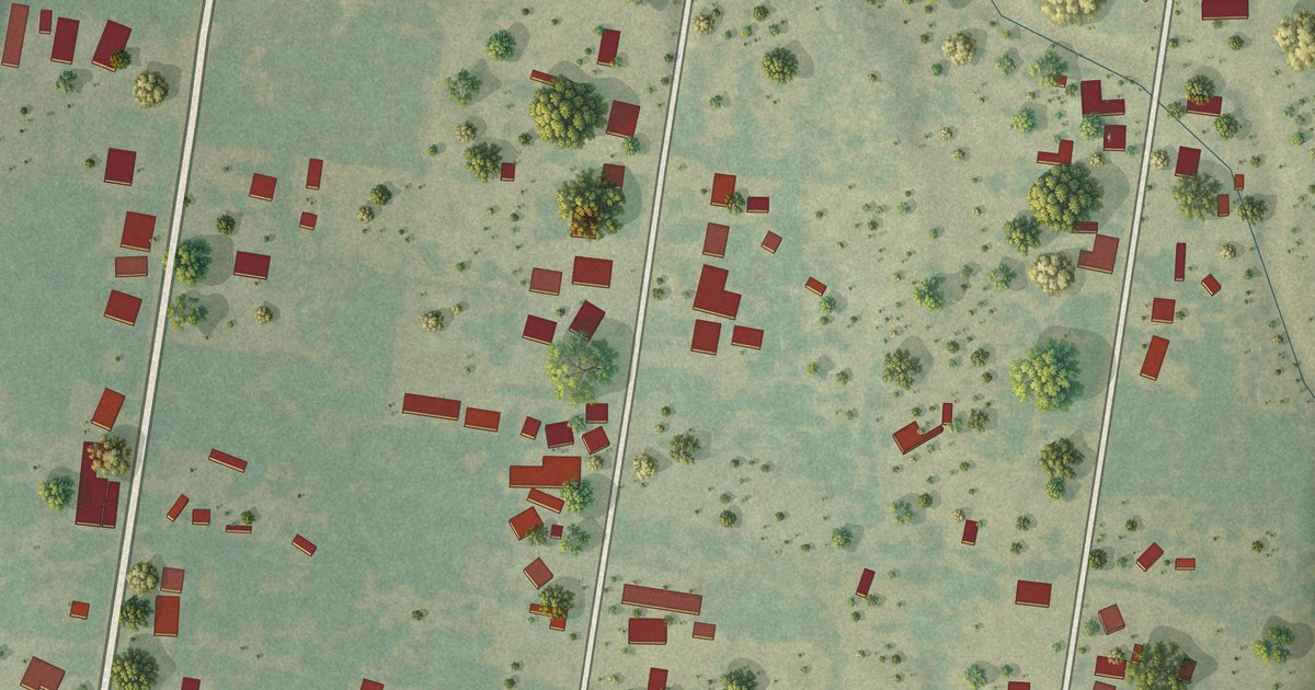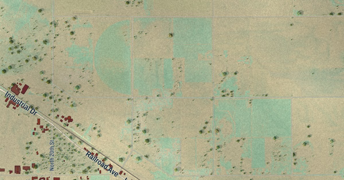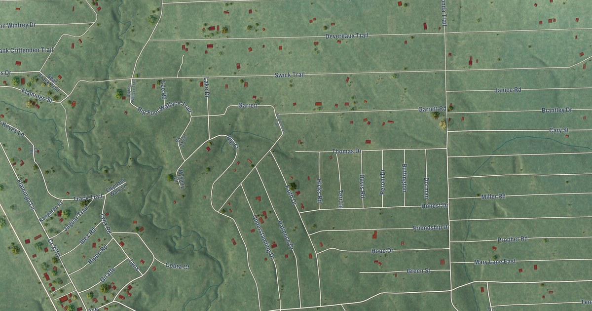
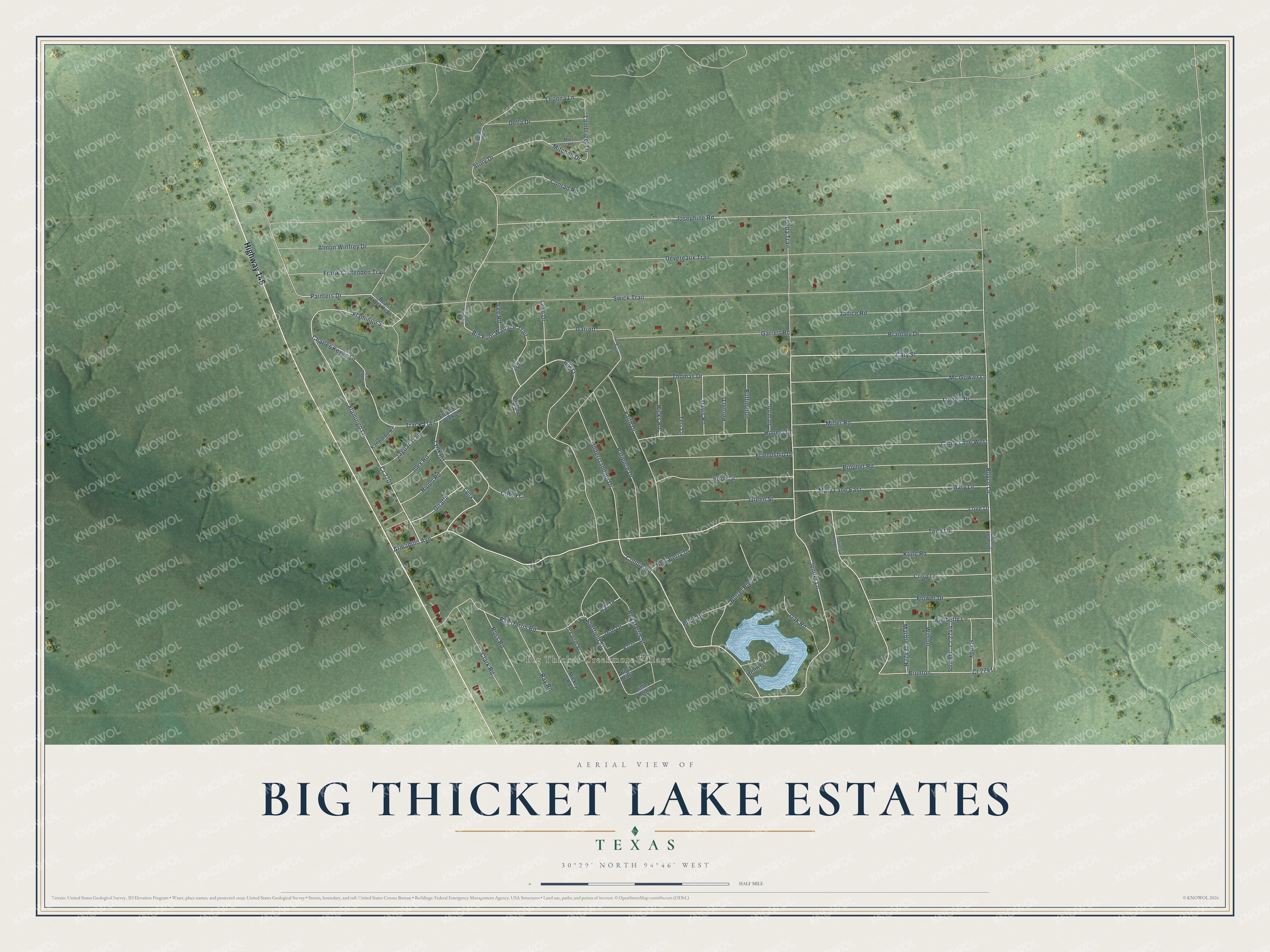
This beautifully detailed map of Big Thicket Lake Estates, Texas was created in 2026 using aerial imagery combined with modern topographical, census, street and landmark data. It's a modern aerial view of Big Thicket Lake Estates in Liberty County, Texas, that combines modern data with a vintage aesthetic. The roads feature printed names, and if you look closely you can find your exact house accurately shown in its correct location.
Explore an aerial view of Big Thicket Lake Estates, Texas
On this map you'll find Big Thicket Creekmore Village, Highway 146, Armadillo Avenue, Flamingo Lane, Flamingo Street, Love Drive, Lynx, Connie Road, Brunton, Cary Street, Big Foot Wallace Trail, Royce Lane, and more. Each red shape is a building, so zoom in on the preview and look for yours.
Big Thicket Lake Estates is a community in Liberty County. The Census Bureau counted 514 people here in 2020. Big Thicket Lake Estates sits about 14 miles southeast of Goodrich, 14 miles south of Indian Springs and 14 miles east of Shepherd. The map prints the town name in its title panel, with the coordinates below it.
Take a closer look at the Big Thicket Lake Estates map
Names on this map
These names are printed on this map.
Places: Big Thicket Creekmore Village.
Streets and roads: Highway 146, Armadillo Avenue, Flamingo Lane, Flamingo Street, Love Drive, Lynx, Connie Road, Brunton, Cary Street, Big Foot Wallace Trail, Royce Lane, Painters Drive.
More street names, A to Z
Almon Winfrey Drive, Bear Track Trail, Bigfoot Wallace Trail, Big Ft, Big Henry, Brantley Drive, Buffington, Burrel Boulevard, Charles Keyes Lane, Cindy Lane West, Clark Road, Cobra Court, Conrad Road, Country Road 2723, Country Road 2746, Cr 2122, Cr 2701, Cr 2707, Cr 2741, Cr 2744, Crisp Lane, Davis Road, Della Drive, Devereaux Trail, Don Drive, Dorman, Elephant Walk Lane, Faith Drive, Flower Drive, Forgiveness Drive, Frank Crittenden Trail, Friendship Drive, Garrett, Garrett Road, Giraffe, Green Street, Handy, Helm Drive, Hicks Road, Hippo Road, Honest Drive, Hope Drive, Ibex Road, Jaguar Trail, Janice Road, Jenifer Lane, Josephine Road, Kangaroo Kt, Kimberly Lane, Kling Road, Lake Drive, Lambriget Lane, Lee Road, Leonna Lane, Liggett Drive, Little Henry, Lynx Road, Marble, Mary Lane, Mary Lane East, Mc Gowan Lane, Mickey Road, Miller Road, Mitchell Drive, Morris Road, Mystery Drive, New Berry Drive, O'Farrel Street, Oak Road, Patience Drive, Peroni Drive, Price Drive, Prophet Road, Ray Harris Road, Ray Road, Ross Road, Roy Harris Street, Sheffield Street, Springer, Story Drive, Swick Trail, Tena Lane, Terr Lane, Thomas Drive, Tonda Trail, Track Trail, Understanding Drive, Wallace Road, Wilson.
See it on a wall
The Big Thicket Lake Estates map as a framed print. Swipe for more.


Created by KNOWOL in 2026. The buildings are small red shapes, the roads carry their printed names, and shaded relief shows the shape of the land. The title panel reads "AERIAL VIEW OF BIG THICKET LAKE ESTATES, TEXAS" with 30°29' NORTH 94°46' WEST.
Hang it in the hallway, the office or the cabin, or give it to someone who left Big Thicket Lake Estates and still calls it home. Open the preview and look for a street you know. See sizes and frames for the Big Thicket Lake Estates map.