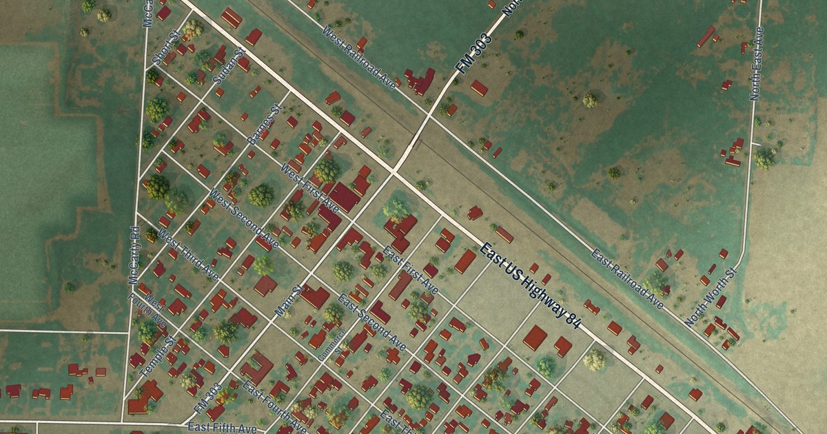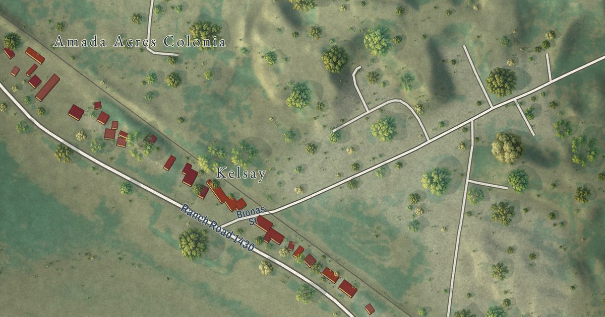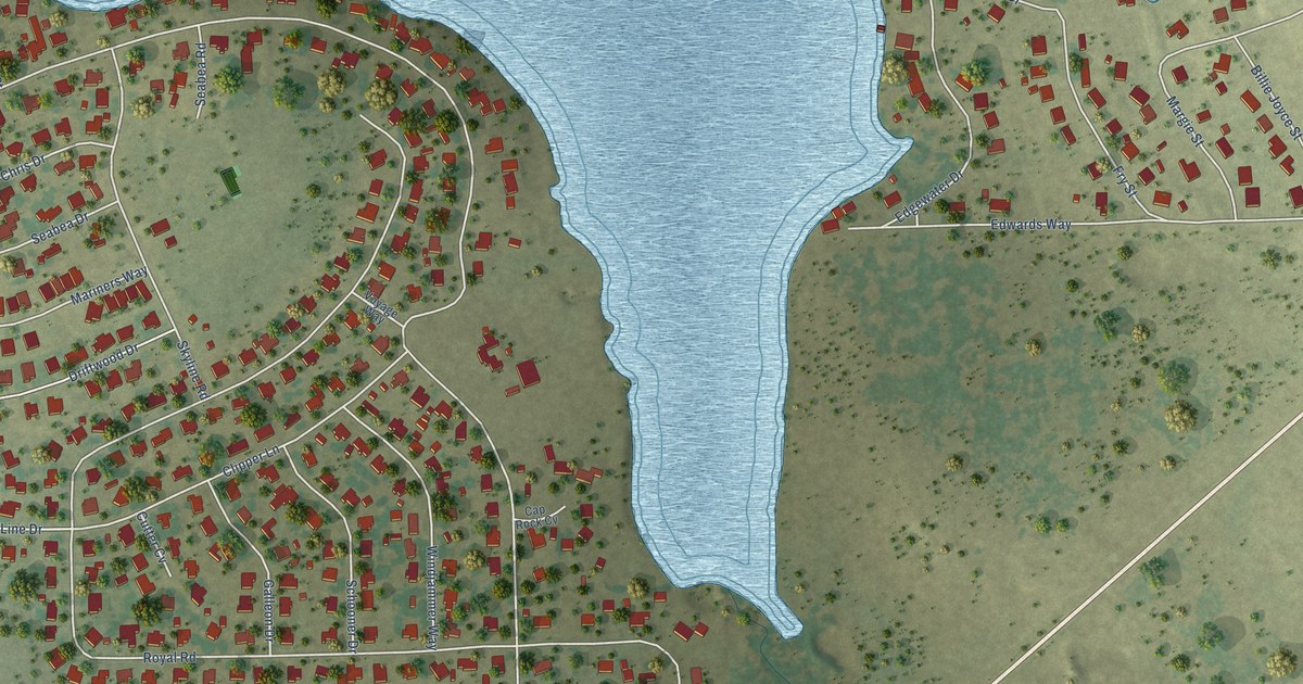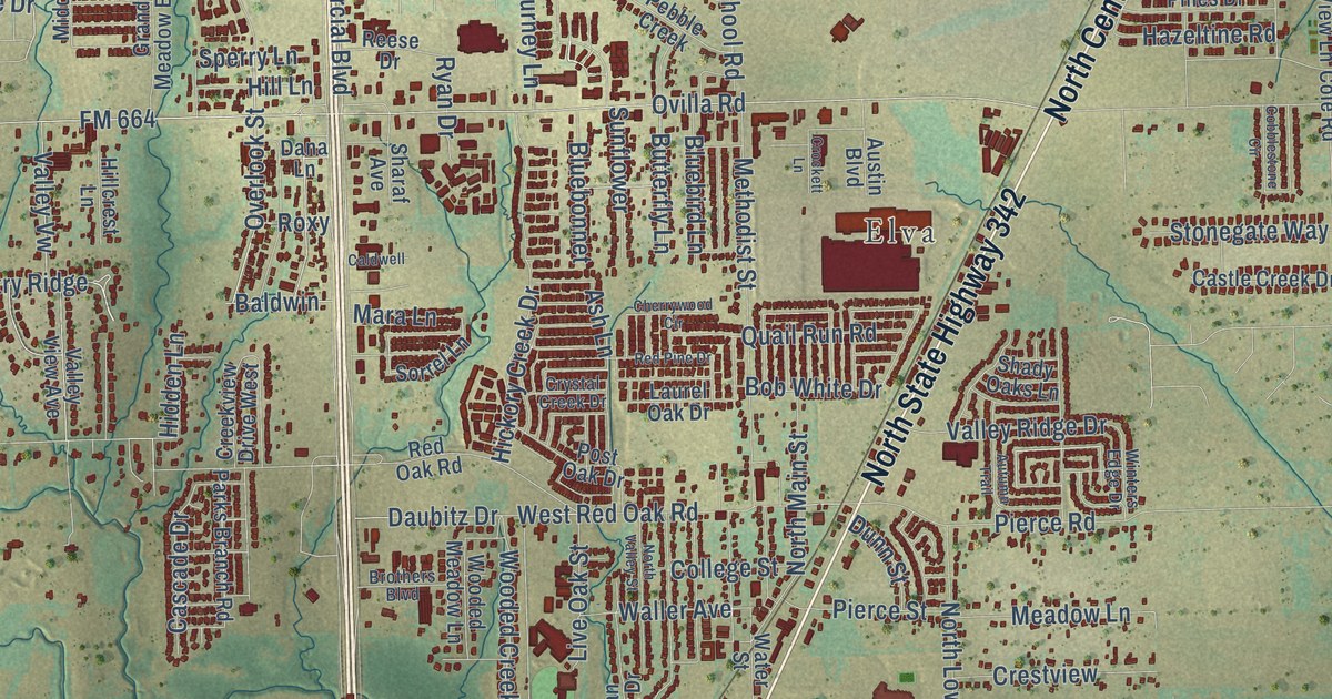
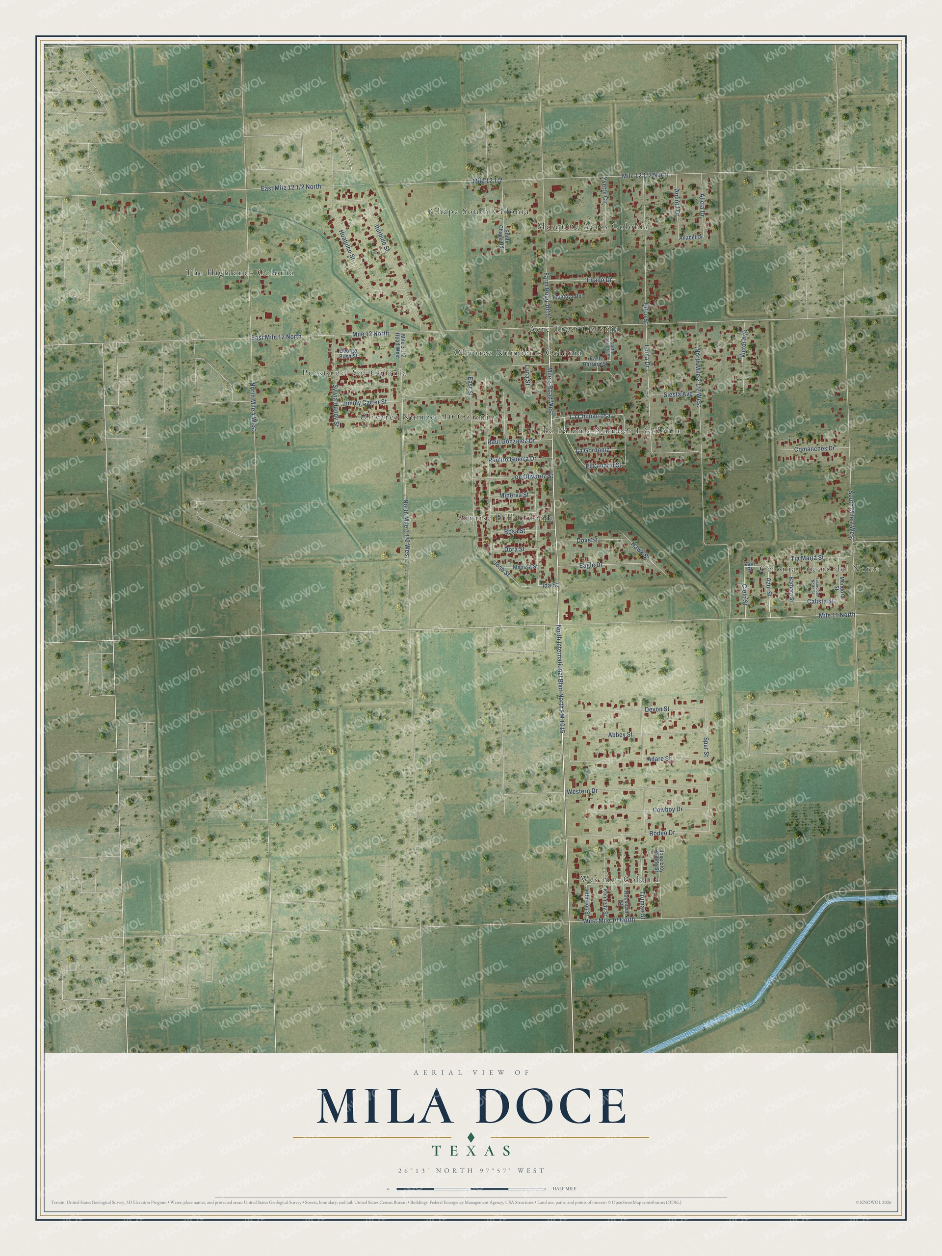
This beautifully detailed map of Mila Doce, Texas was created in 2026 using aerial imagery combined with modern topographical, census, street and landmark data. It’s a one-of-a-kind view of Mila Doce that combines accurate data with a vintage aesthetic. The map shows every building in its true location, many of the roads carry their names, and the shaded topographic relief shows the shape of the land.
Explore an aerial view of Mila Doce, Texas
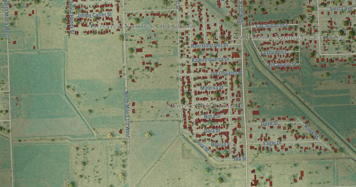
On the map you’ll find Acre Tract Colonia, Chapa South Colonia, Colonia Lucero del Norte, La Paloma Number 1 Colonia, Mesquite Acres Colonia, Olivarez Number 10 Colonia, Olivarez Number 4 Colonia, Puesta del Sol Colonia, Sunrise Hill Colonia, The Highlands Colonia, and Wes-mer Colonia, along with North International Boulevard, and more. If you look closely you can even find your house accurately drawn in its correct location. Zoom in on the preview to look for yours.
Take a closer look at the Mila Doce map
Street and place names on the Mila Doce, Texas map
These names are printed on the map of Mila Doce, Texas.
Places: Acre Tract Colonia, Chapa South Colonia, Colonia Lucero del Norte, La Paloma Number 1 Colonia, Mesquite Acres Colonia, Olivarez Number 10 Colonia, Olivarez Number 4 Colonia, Puesta del Sol Colonia, Sunrise Hill Colonia, The Highlands Colonia and Wes-mer Colonia.
Streets and roads: North International Boulevard, Mile 3 Road West, North FM 1015, Azul Street, Cielo Street, Loma Drive, La Chuparrosa, Jose Street, Calista Street, Spur Street, East Mile 12 North, North Mile 4 West.
More street names, A to Z
Abbey Street, Adare Street, Alicia Drive, Aminta Drive, Anabel Drive, Barbara Street, Comanches Drive, Cowboy Drive, Devon Street, Dora Street, Dove Street, Eagle Drive, East Barrera Street, East Street, Ebano Drive, Eden Street, El Canario Street, Farm Road 1015, George Bush Street, Hawk Street, Huatulco Street, Ida Street, Iturbide Street, Jefferson Street, Jimmy Carter Street, Joe Olivarez Street, Jose Eloy Pulido Street, Kennedy Street, La Gordoniz, Lucero del Norte Street, Luna Street, Melissa Street, Mendoza Street, Mile 11 North, Mile 12 North, Minerva Street, Montoya Road, North Barrera Street, Ramiro Guerra Drive, Raul Gonzalez Drive, Rodeo Drive, Roosevelt Street, Rosa Street, Siesta Avenue, South Chapa Road, South Mile 2 West, Sylvia Handy Street, Tia Maria Street, Truman Street, Victor Avenue, Western Drive, West Mile 10 North, Yvette Circle, Zain Street.
See the Mila Doce, Texas map on a wall
The Mila Doce map as an 18 x 24 inch print in a black frame.

This beautifully detailed map of Mila Doce makes an attractive addition to your office, library, or den, and it can even be used to teach children the geography and history of the area. It also makes a great gift for someone who left Mila Doce and still calls it home. When you’re done exploring, click here to get your copy of the Mila Doce map.