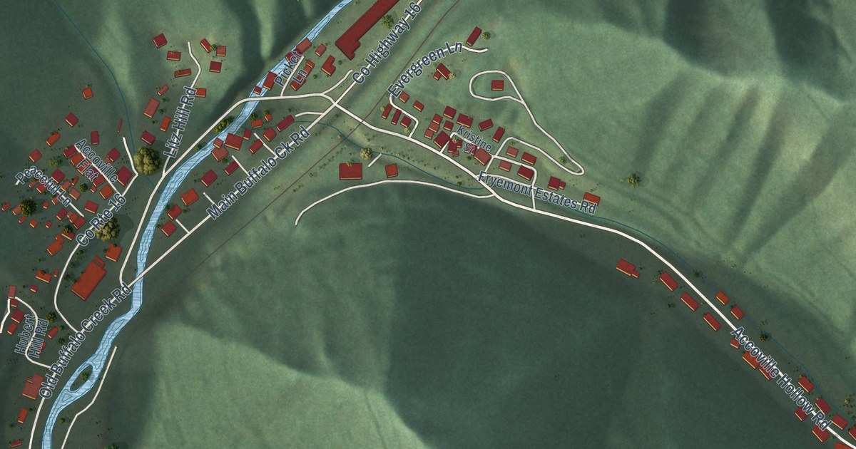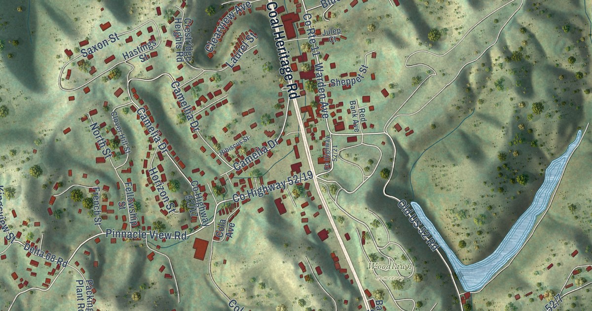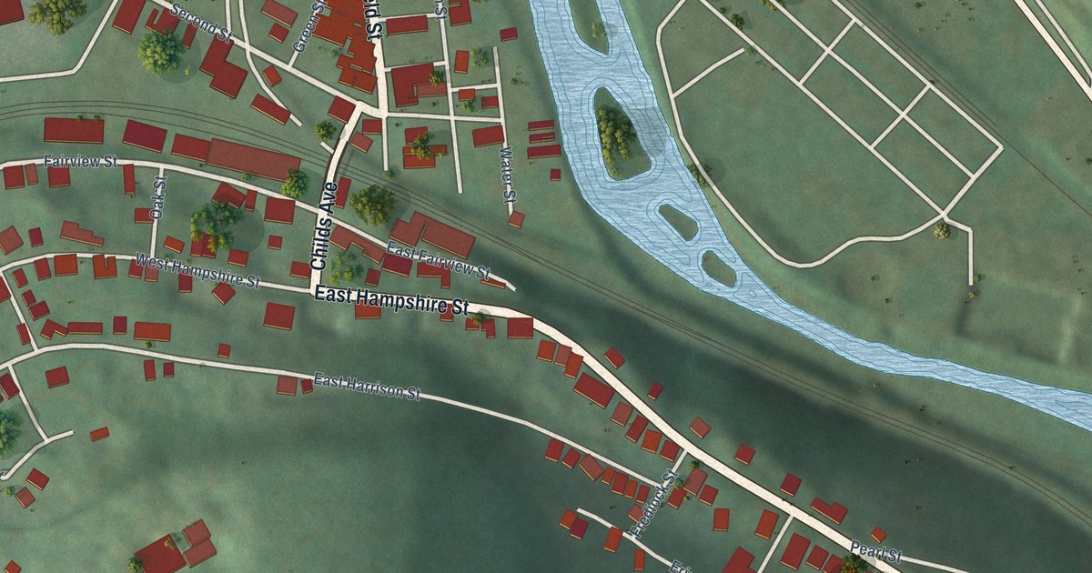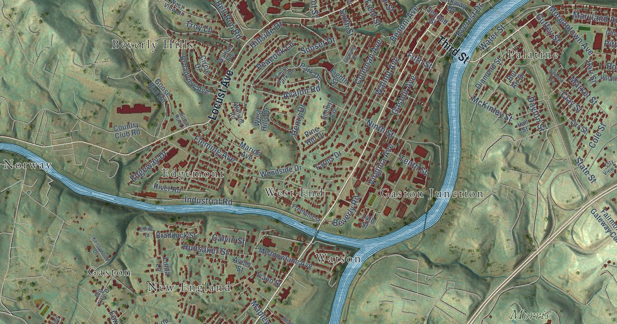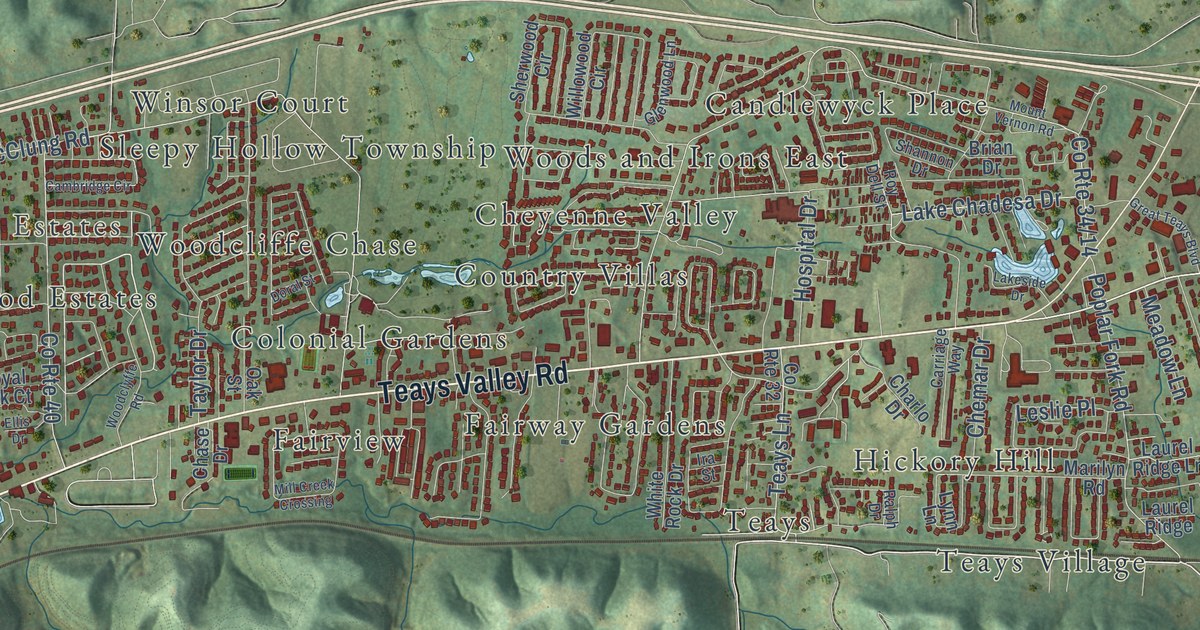
This beautifully detailed map of Teays Valley, West Virginia was created in 2026 using aerial imagery combined with modern topographical, census, street and landmark data. It’s a one-of-a-kind view of Teays Valley that combines accurate data with a vintage aesthetic. The map shows every building in its true location, many of the roads carry their names, and the shaded topographic relief shows the shape of the land.
Explore an aerial view of Teays Valley, West Virginia
On the map you’ll find Autumn Wynds, Scary, Springdale Estates, Valley View Estates, Belle Acres, Candlewyck Place, Cheyenne Valley, Colonial Gardens, Country Villas, Dogwood Estates, Fairview, Fairway Gardens, and more. If you look closely you can even find your house accurately drawn in its correct location. Zoom in on the preview to look for yours.
Did you know this piece of Teays Valley, West Virginia history?
From the West Virginia Archives and History: "First Confederate victory in Kanawha Valley fought here July 17, 1861. Charge of the Rangers under Captain (later General) Jenkins won the day. Whitelaw Reid described the event as a war correspondent with Gen. Cox's Union forces."
Take a closer look at the Teays Valley map
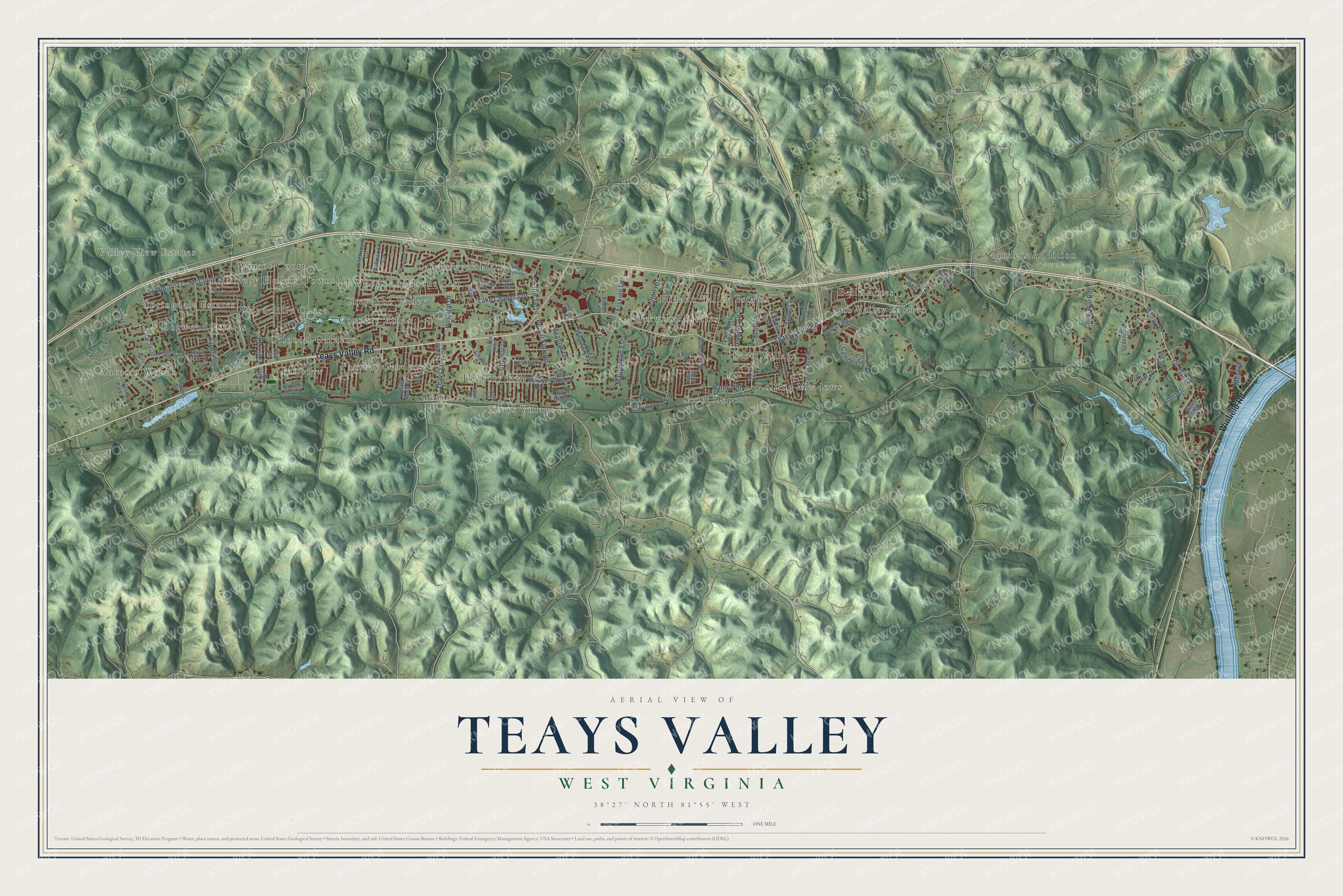
Street and place names on the Teays Valley, West Virginia map
These names are printed on the map of Teays Valley, West Virginia.
Places: Autumn Wynds, Scary, Springdale Estates, Valley View Estates, Belle Acres, Candlewyck Place, Cheyenne Valley, Colonial Gardens, Country Villas, Dogwood Estates, Fairview, Fairway Gardens, Hickory Hill, Hidden Valley Estates, Oakwood Estates, Rolling Meadows, Saunders Addition, Scott Depot, Scott Village, Sleepy Hollow Township, Sun Valley Estates, Teays, Teays Village, Winsor Court, Woodcliffe Chase and Woods and Irons East.
Streets and roads: Teays Valley Road, Winfield Road, Scary Road, County Route 33, Maplewood Ests, Erskine Lane, Teays Lane, Beechwood Est, Poplar Fork Road, Poplar Drive, McClung Road, Apple Lane.
More street names, A to Z
Angela Drive, Bettys Lane, Birch, Brian Drive, Bristal Place, Brookside Drive, Cambridge Circle, Camden Circle, Carriage Way, Chapman Lane, Charlo Drive, Chase Drive, Chemar Drive, Ches-Wal Road, County Route 29, County Route 32, County Route 40, Dawn Heights, Dominic Drive, Doral Street, Eagle Run Road, Ellis Drive, Fountain Way, Frazier Way, Glenwood Lane, Great Teays Boulevard, Greenbrier Drive, Green Drive, Hamon Drive, Hedrick Road, Hillsdale Circle, Hospital Drive, Ira Street, Lake Chadesa Drive, Lakeside Drive, Laurel Ridge, Laurel Ridge Lane, Leslie Place, Lincoln Street, Lisa Jo Street, Litton Heights, Lynn Lane, Marilyn Road, Mc Cloud Road, Meadow Lane, Mercy Way, Mesa Drive, Mill Creek Crossing, Mount Vernon Road, Oak Street, Old Delta 24, Pine Ridge, Ralph Drive, Royal Oak Court, Roy Dell Street, Scott Lane, Shannon Drive, Sherwood Circle, Short Drive, Taylor Drive, Terrace Road, Tyler Way, Valley Park Drive, White Rock Drive, Wildrose Lane, Willowood Circle, Willow Ridge Drive, Woodclyffe Road.
See the Teays Valley, West Virginia map on a wall
The Teays Valley map as an 18 x 24 inch print in a black frame.

This beautifully detailed map of Teays Valley makes an attractive addition to your office, library, or den, and it can even be used to teach children the geography and history of the area. It also makes a great gift for anyone with Teays Valley roots. When you’re done exploring, click here to get your copy of the Teays Valley map.