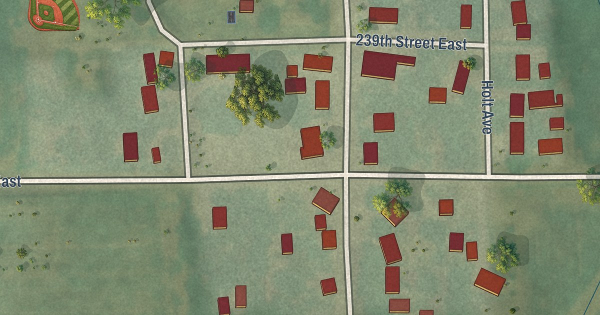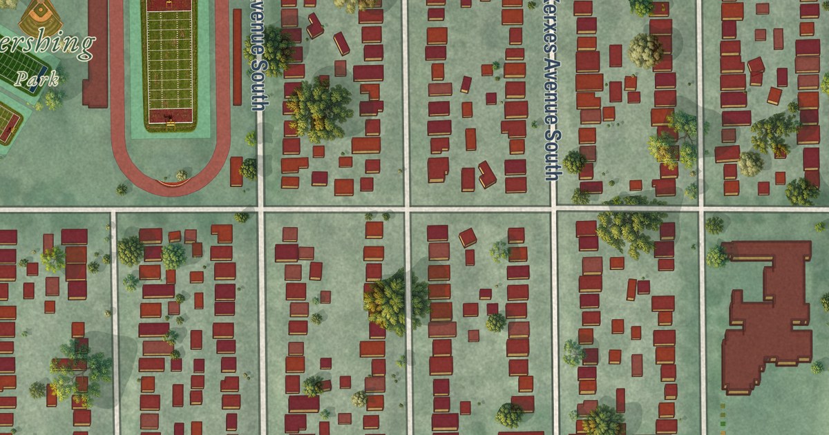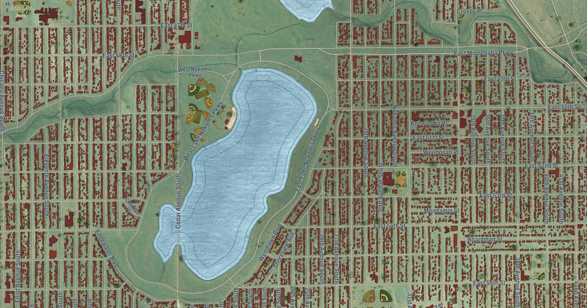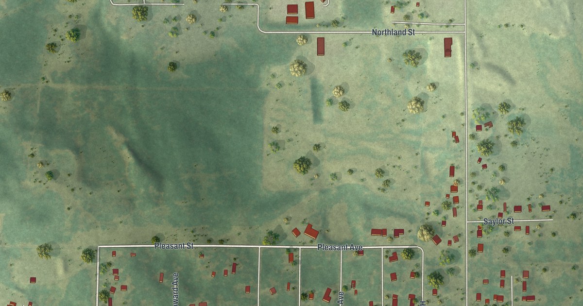
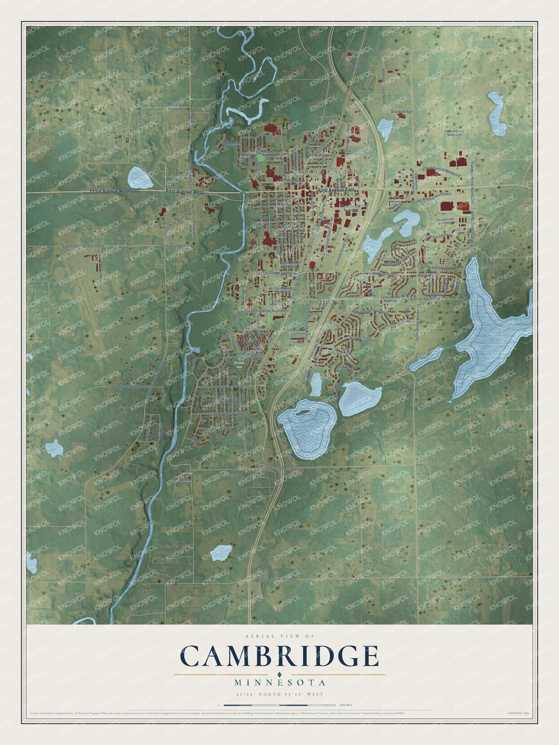
This beautifully detailed map of Cambridge, Minnesota was created in 2026 using aerial imagery combined with modern topographical, census, street and landmark data. It’s a one-of-a-kind view of Cambridge that combines accurate data with a vintage aesthetic. The map shows every building in its true location, many of the roads carry their names, and the shaded topographic relief shows the shape of the land.
Explore an aerial view of Cambridge, Minnesota
On the map you’ll find Cambridge City Hall, Edgewood, and Joe’s Lake Natural Preserve, along with First Avenue East, First Avenue West, 333rd Avenue Northeast, Xylite Street Northeast, 16th Avenue Southeast, Alabama Street South, Main Street South, Eleventh Avenue, Railroad Street South, and more. If you look closely you can even find your house accurately drawn in its correct location. Zoom in on the preview to look for yours.
Did you know this piece of Cambridge, Minnesota history?
From the 1920 Minnesota Geographic Names: "Cambridge township was named by settlers from Maine, for the township of Cambridge in the central part of that state."
Take a closer look at the Cambridge map
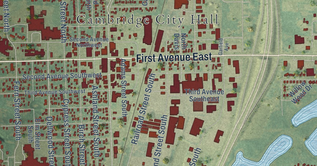
Street and place names on the Cambridge, Minnesota map
These names are printed on the map of Cambridge, Minnesota.
Places: Cambridge City Hall, Edgewood and Brown Park.
Streets and roads: First Avenue East, First Avenue West, 333rd Avenue Northeast, Xylite Street Northeast, 16th Avenue Southeast, Alabama Street South, 18th Avenue Southwest, Main Street South, Main Street North, Flanders Street Northeast, Railroad Street South, Eleventh Avenue.
More street names, A to Z
13th Avenue Southwest, 14th Lane, 18th Avenue Southeast, 18th Court, 20th Avenue Southwest, 20th Lane, 21st Avenue Southwest, 21st Lane, 21st Pine Lane, 23rd Pine Lane, 24th Avenue Southwest, 25th Lane Southeast, 32nd Avenue Southwest, 33rd Court, 34th Avenue Southwest, 305th Avenue Northeast, 313th Avenue Northeast, 319th Avenue Northeast, 320th Lane Northeast, 325th Avenue Northeast, 329th Avenue Northeast, 337th Avenue Northeast, 339th Avenue Northeast, 343rd Avenue Northeast, Adams Street South, Airport Parkway, Alaska Loop, Ashland Street North, Ashland Street South, Balsam Street, Birch Street South, Black Pine Drive, Bridgewater Place South, Buchanan Lane South, Calhoun Place, Carriage Hills Drive, Carriage Lane, Cedar Drive, Cedar Drive South, Central Avenue Southwest, Cleveland Lane South, Cleveland Street South, Cypress Street North, Cypress Street South, Davis Lane, Deer Run, Dellwood Street South, East Rum River Circle, East Rum River Drive South, Eighth Avenue Northwest, Eighth Avenue Southwest, Eleventh Avenue Southeast, Eleventh Avenue Southwest, Elms Lake Road, Elm Street South, Elm Street Southwest, Emerson Road South, Emerson Street North, Fern Street North, Fern Street South, Fifth Avenue Northwest, Fourth Lane Southeast, Garfield Avenue, Garfield Street South, Glenwood Drive, Holly Street South, Iris Court, Ivy Street South, Jack Pine Drive, Jackson Road Northeast, Joes Lake Road, Joes Lake Road Southeast, Joy Circle, Joy Court, Juniper Street South, Kennedy Street North, Kenwood Street South, Laurel Street South, Main Street Northeast, Maple Dell Road, Marigold Drive South, North Davis, Oak Circle, Old Main Street South, Old North Main Street, Opportunity Boulevard North, Paul's Lake Road, Pauls Lake Road, Pine Village Drive, Pioneer Trail, Pioneer Trail Southeast, Plum Creek Drive, Polk Street Northeast, Polk Street South, Reagan, Scidmore Place, Second Avenue Northwest, Second Avenue Southeast, Second Avenue Southwest, Sixth Avenue Northwest, Sixth Lane Southeast, South Haven Drive, South Maple Drive, South Vine Street, Spirit River Drive South, Sprit River Drive North, Sunset Lane, Taft Loop South, Taft Street South, Tamarack Place South, Ten Oaks Drive South, Tenth Avenue Southwest, Tenth Street Southeast, Third Avenue Northeast, Third Avenue Southeast, Third Avenue Southwest, Tower Circle, Vine Street South, White Pine Drive, Willow Wood Drive, Zachary Street.
See the Cambridge, Minnesota map on a wall
The Cambridge map as an 18 x 24 inch print in a black frame.

This beautifully detailed map of Cambridge makes an attractive addition to your office, library, or den, and it can even be used to teach children the geography and history of the area. It also makes a great gift for someone who left Cambridge and still calls it home. When you’re done exploring, click here to get your copy of the Cambridge map.