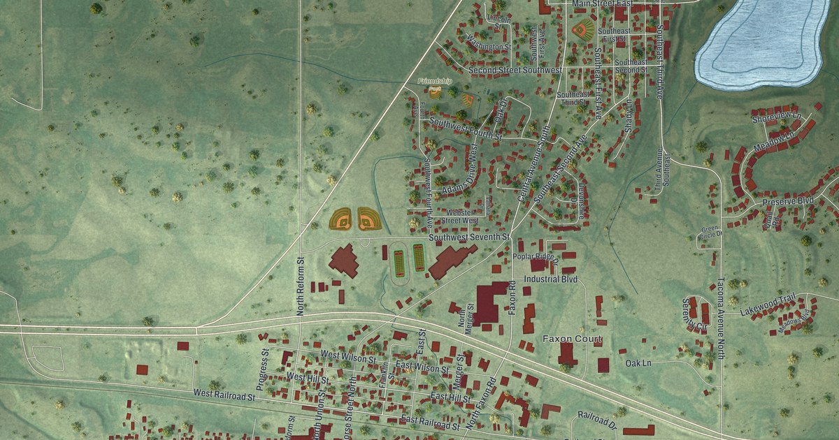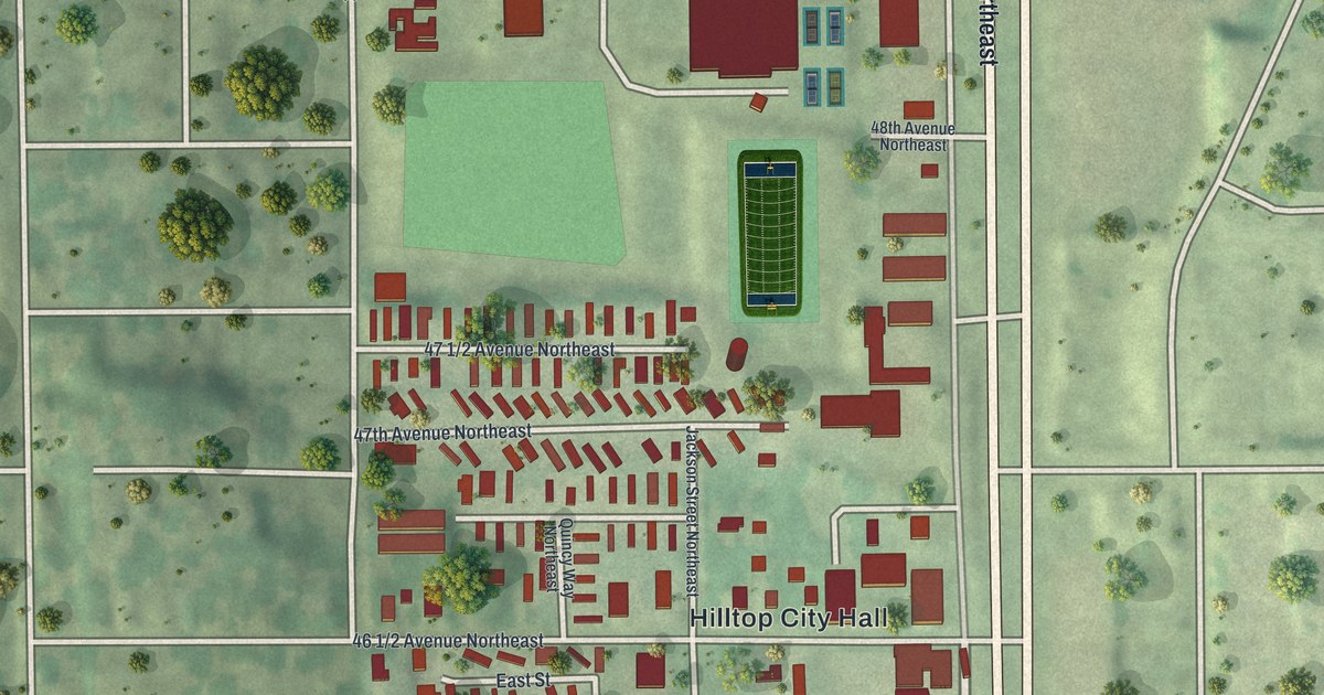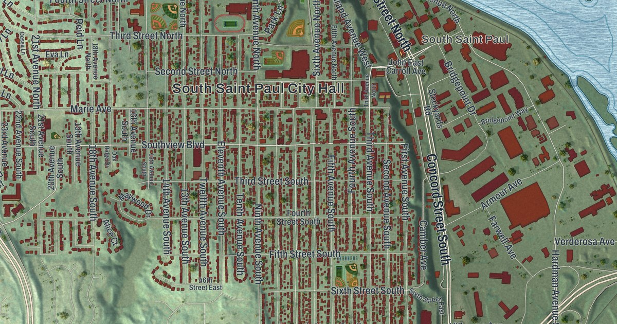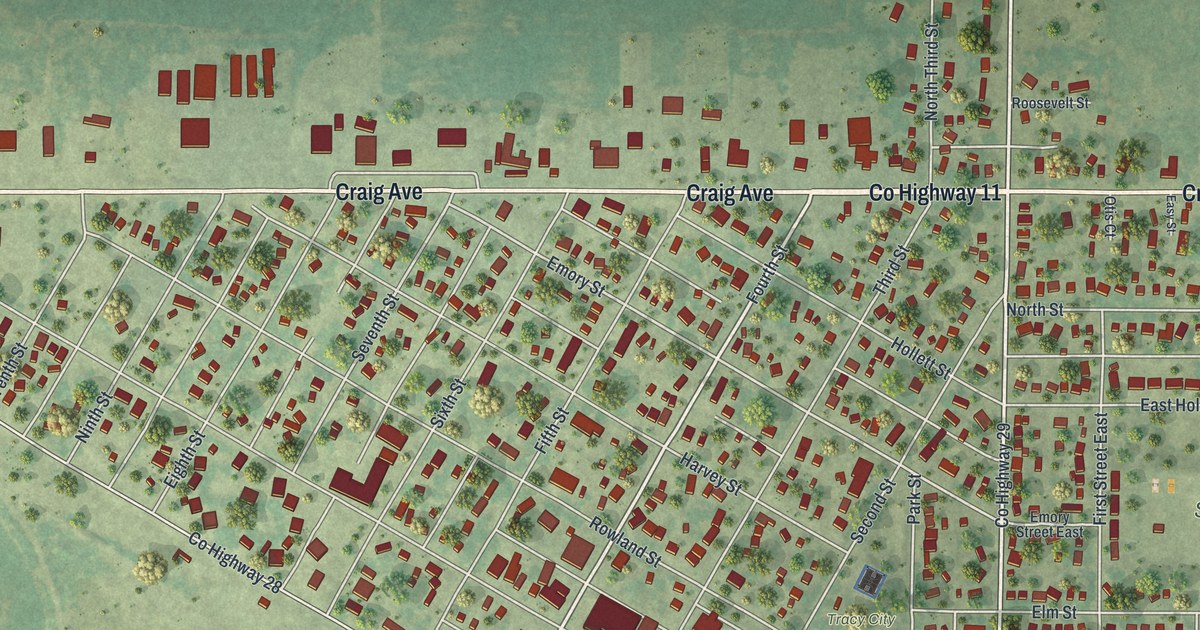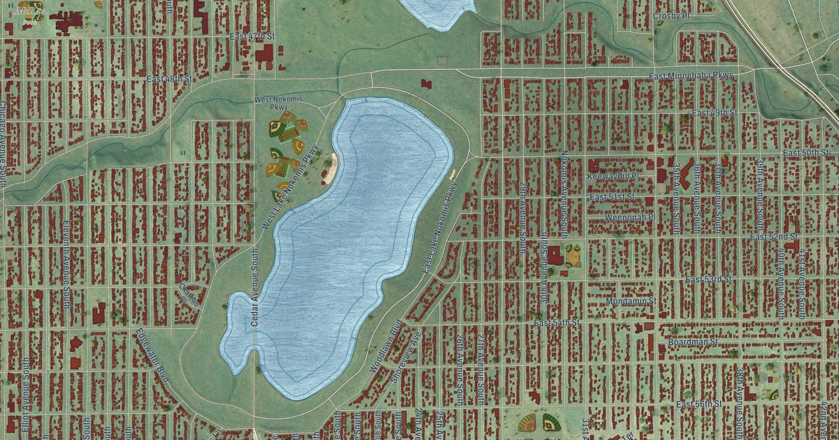
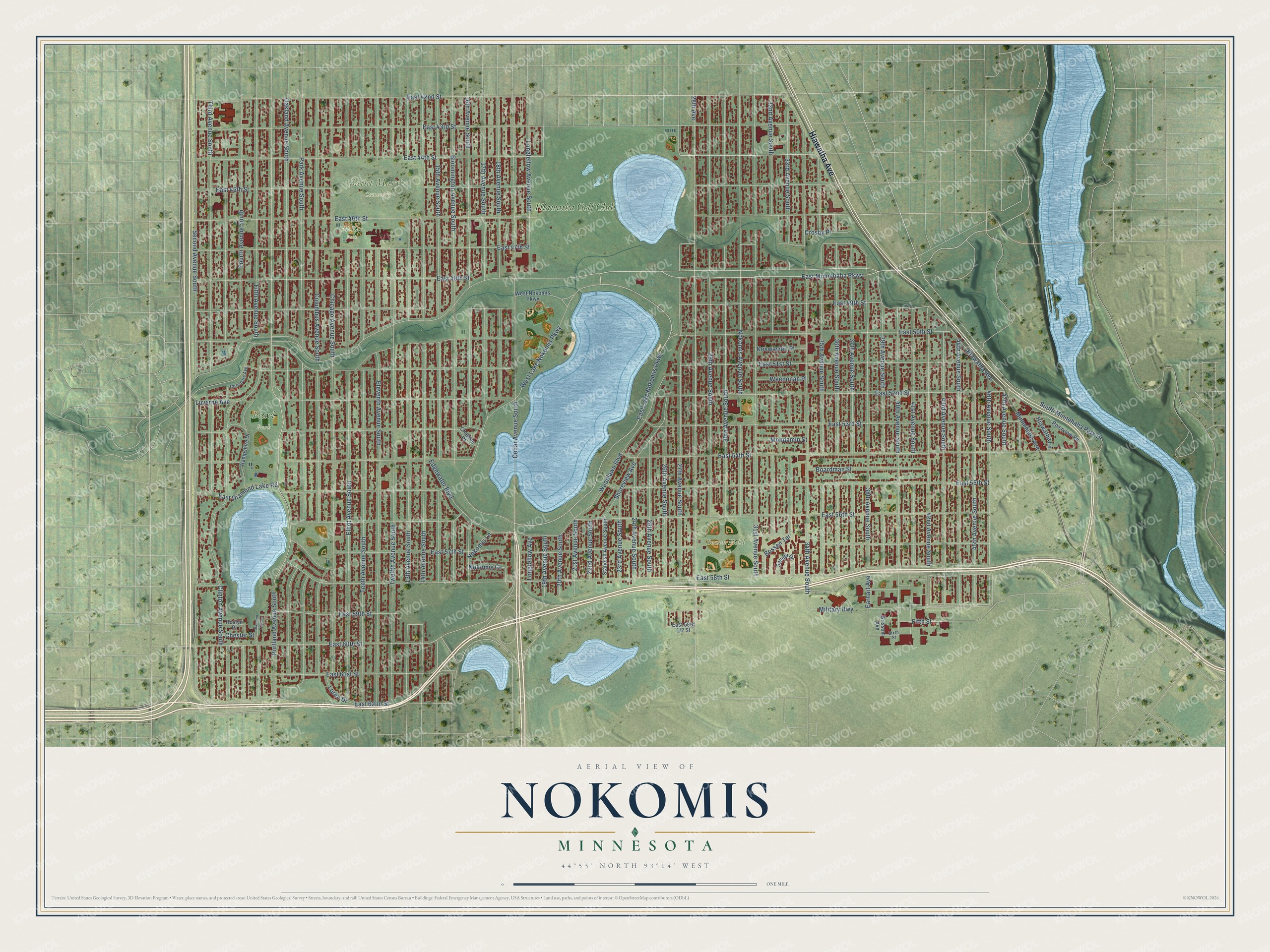
This beautifully detailed map of Nokomis, Minnesota was created in 2026 using aerial imagery combined with modern topographical, census, street and landmark data. It’s a one-of-a-kind view of Nokomis that combines accurate data with a vintage aesthetic. The map shows every building in its true location, many of the roads carry their names, and the shaded topographic relief shows the shape of the land.
Explore an aerial view of Nokomis, Minnesota
On the map you’ll find Bossen Field Park, Pearl Park, Saint Mary’s Cemetery, McRae Park, and Hiawatha Golf Club, along with Hiawatha Avenue, East Minnehaha Parkway, East 46th Street, East 44th Street, 35th Avenue South, 27th Avenue South, East Lake Nokomis Parkway, and more. If you look closely you can even find your house accurately drawn in its correct location. Zoom in on the preview to look for yours.
Did You Know?
From the 1872 Collections of the Minnesota Historical Society: "Lake Nokomis was called Lake Amelia by the Fort map in 1823, probably for the wife or daughter of Captain George Gooding, who came with the first troops in 1819."
Nokomis is a place in Hennepin County.
Take a closer look at the Nokomis map
Names on this map
These names are printed on this map.
Places: Bossen Field Park, Pearl Park, Saint Mary's Cemetery, McRae Park and Hiawatha Golf Club.
Streets and roads: Hiawatha Avenue, East Minnehaha Parkway, East 46th Street, East 44th Street, 35th Avenue South, 27th Avenue South, East Lake Nokomis Parkway, East 42nd Street, East 60th Street, 40th Avenue South, 15th Avenue South, 14th Avenue South.
More street names, A to Z
13th Avenue South, 16th Avenue South, 17th Avenue South, 18th Avenue South, 19th Avenue South, 20th Avenue South, 21st Avenue South, 22nd Avenue South, 23rd Avenue South, 24th Avenue South, 25th Avenue South, 26th Avenue South, 28th Avenue, 29th Avenue South, 30th Avenue South, 31st Avenue South, 32nd Avenue South, 33rd Avenue South, 34th Avenue South, 36th Avenue South, 37th Avenue South, 38th Avenue South, 39th Avenue South, 41st Avenue South, 42nd Avenue South, 43rd Avenue South, 44th Avenue South, 45th Avenue South, 46th Avenue South, 47th Avenue South, Bloomington Avenue South, Boardman Street, Bossen Terrace, Cedar Avenue South, Chateau Place, Chester Street, Chicago Avenue South, Clinton Avenue South, Columbus Avenue South, Crosby Place, Diamond Lake Lane, Earhart Avenue, East 43rd Street, East 45th Street, East 47th Street, East 48th Street, East 49th Street, East 50th Street, East 51st Street, East 52nd Street, East 53rd Street, East 54th Street, East 55th Street, East 56th Street, East 57th Street, East 58th Street, East 59th Street, East 61st Street, East 62nd Street, East Diamond Lake Road, Edgewater Boulevard, Eleventh Avenue South, Elliot Avenue South, Fifth Avenue South, Fifth Street, Fourth Avenue South, Grissom Avenue, Hampshire Drive, Hiawatha Lane, Keewaydin Place, Longfellow Avenue, Longfellow Avenue South, Loren Drive, Luverne Avenue, Military Highway, Minnehaha Avenue, Mondamin Street, Nokomis Avenue South, Nokomis Court, Nokomis Lane, Oakland Avenue South, Park Avenue South, Portland Avenue South, Riverview Road, Roslyn Place, Sander Drive, Second Avenue South, Shoreview Avenue, Sixth Street, South Minnehaha Park Drive, Standish Avenue South, Tarrymore Avenue, Tenth Avenue South, Third Avenue South, Twelfth Avenue South, Weenonah Place, West Lake Nokomis Parkway, West Nokomis Parkway, Woodlawn Boulevard.
See it on a wall
The Nokomis map as a framed print. Swipe for more.


This beautifully detailed map of Nokomis makes an attractive addition to your office, library, or den, and it can even be used to teach children the geography and history of the area. It also makes a great gift for anyone who grew up in Nokomis or moved away. When you’re done exploring, click here to get your copy of the Nokomis map.