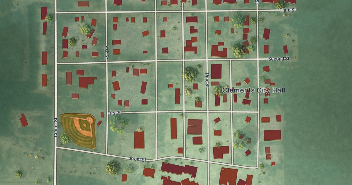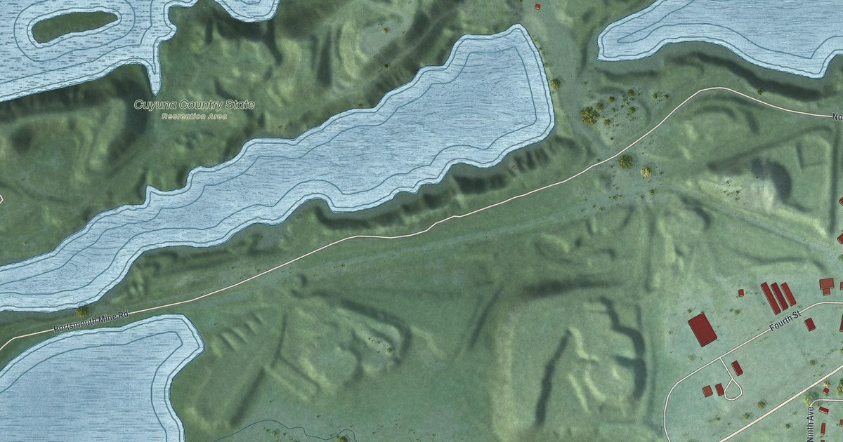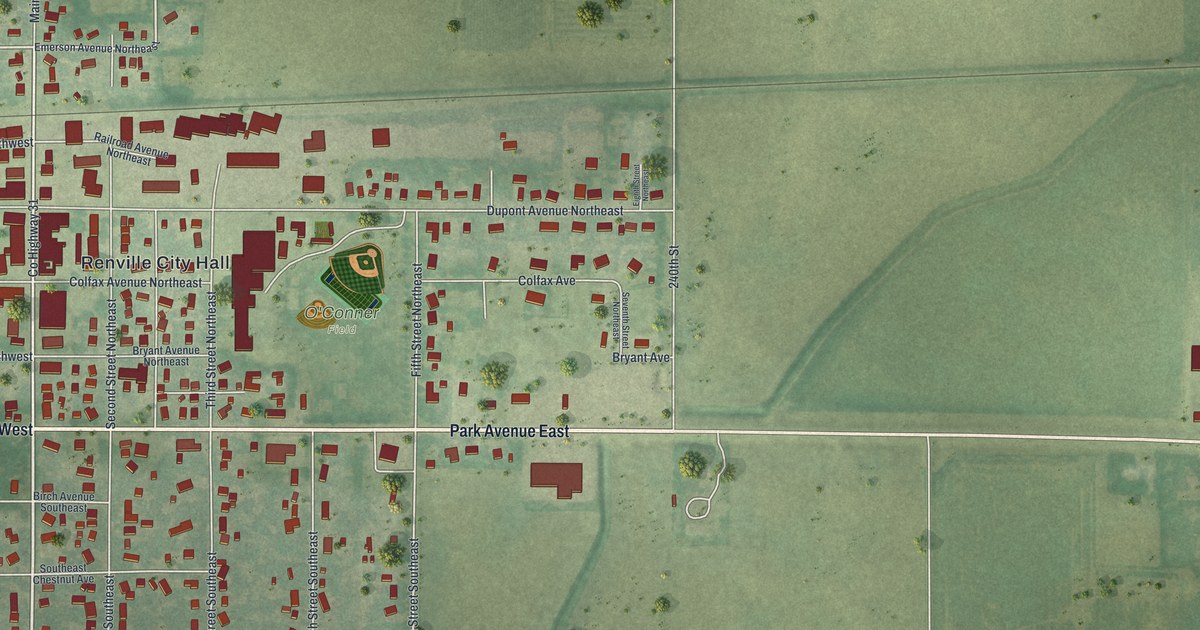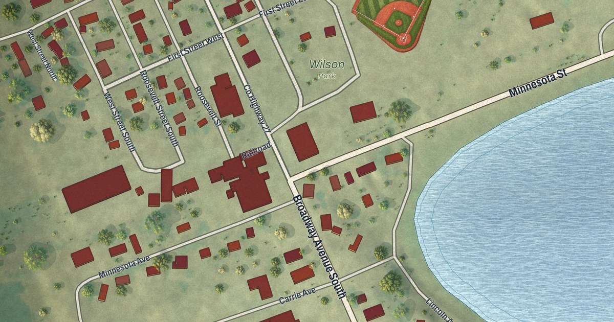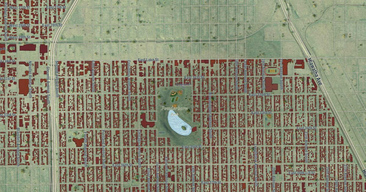
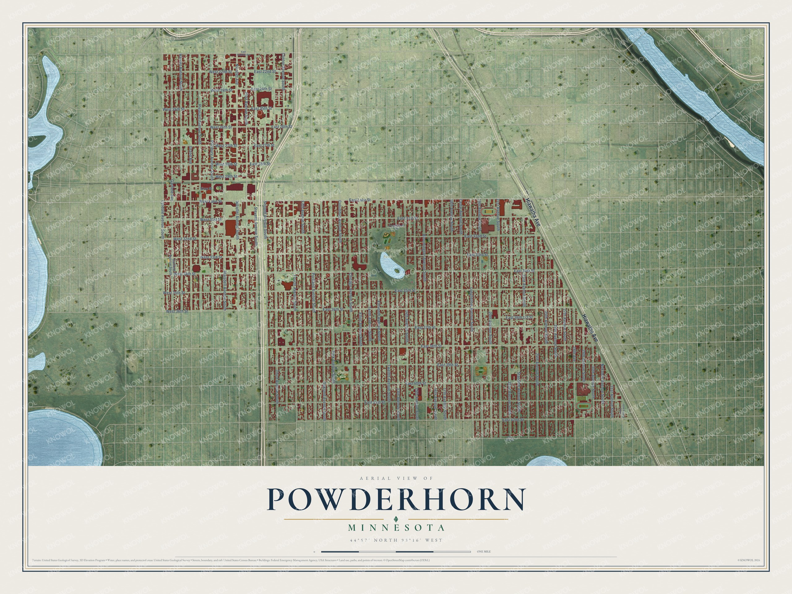
This beautifully detailed map of Powderhorn, Minnesota was created in 2026 using aerial imagery combined with modern topographical, census, street and landmark data. It’s a one-of-a-kind view of Powderhorn that combines accurate data with a vintage aesthetic. The map shows every building in its true location, many of the roads carry their names, and the shaded topographic relief shows the shape of the land.
Explore an aerial view of Powderhorn, Minnesota
On the map you’ll find Powderhorn Park and Phelps Park, along with Hiawatha Avenue, East Lake Street, East 28th Street, West Lake Street, 27th Avenue South, West 24th Street, East 42nd Street, East 36th Street, First Avenue South, East 26th Street, and more. If you look closely you can even find your house accurately drawn in its correct location. Zoom in on the preview to look for yours.
Did You Know?
From Adolf Olson’s 1946 Seventy-five Years: "Previous to that he had eight years of a successful pastorate at the Powderhorn Park Baptist Church of Minneapolis."
Powderhorn is a place in Hennepin County.
Take a closer look at the Powderhorn map
Names on this map
These names are printed on this map.
Places: Powderhorn Park and Phelps Park.
Streets and roads: Hiawatha Avenue, East Lake Street, East 28th Street, West Lake Street, 27th Avenue South, West 24th Street, East 42nd Street, East 36th Street, First Avenue South, East 26th Street, East 39th Street, Garfield Avenue.
More street names, A to Z
13th Avenue South, 14th Avenue South, 15th Avenue South, 16th Avenue South, 17th Avenue South, 18th Avenue South, 19th Avenue South, 20th Avenue South, 21st Avenue South, 22nd Avenue South, 23rd Avenue South, 24th Avenue South, 25th Avenue South, 26th Avenue South, 28th Avenue, 29th Avenue South, 30th Avenue South, 31st Avenue South, 32nd Avenue South, Blaisdell Avenue South, Bloomington Avenue South, Cedar Avenue South, Chicago Avenue South, Clinton Avenue South, Columbus Avenue South, East 22nd Street, East 24th Street, East 25th Street, East 27th Street, East 31st Street, East 32nd Street, East 33rd Street, East 34th Street, East 35th Street, East 37th Street, East 38th Street, East 40th Street, East 41st Street, East 43rd Street, East Franklin Avenue, Eleventh Avenue South, Elliot Avenue South, Elroy Street, Fifth Avenue South, Fourth Avenue South, Garfield Avenue South, Grand Avenue, Harriet Avenue South, Longfellow Avenue South, Lyndale Avenue South, Nicollet Avenue, Nicollet Avenue South, Nokomis Avenue South, Oakland Avenue South, Park Avenue South, Pillsbury Avenue South, Pleasant Avenue South, Portland Avenue South, Powderhorn Terrace, Second Avenue South, Standish Avenue South, Stevens Avenue South, Tenth Avenue South, Third Avenue South, Twelfth Avenue South, West 22nd Street, West 25th Street, West 26th Street, West 27th Street, West 28th Street, West 29th Street, West 31st Street, West 32nd Street, West 33rd Street, West 34th Street, West 35th Street, West 36th Street.
See it on a wall
The Powderhorn map as a framed print. Swipe for more.


This beautifully detailed map of Powderhorn makes an attractive addition to your office, library, or den, and it can even be used to teach children the geography and history of the area. It also makes a great gift for anyone with Powderhorn roots. When you’re done exploring, click here to get your copy of the Powderhorn map.