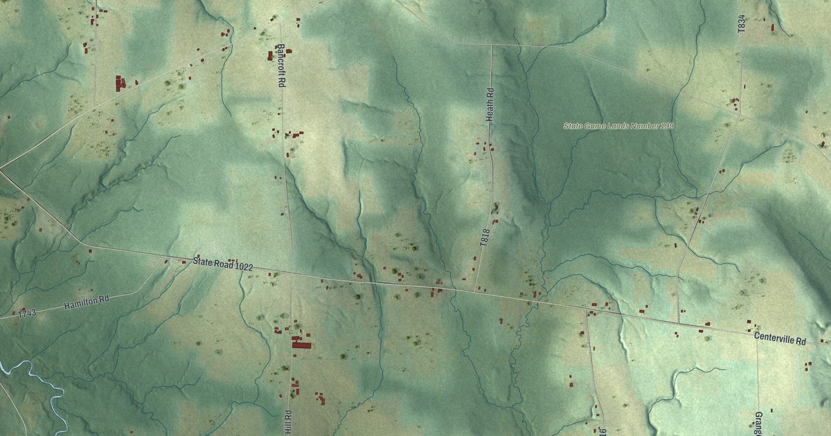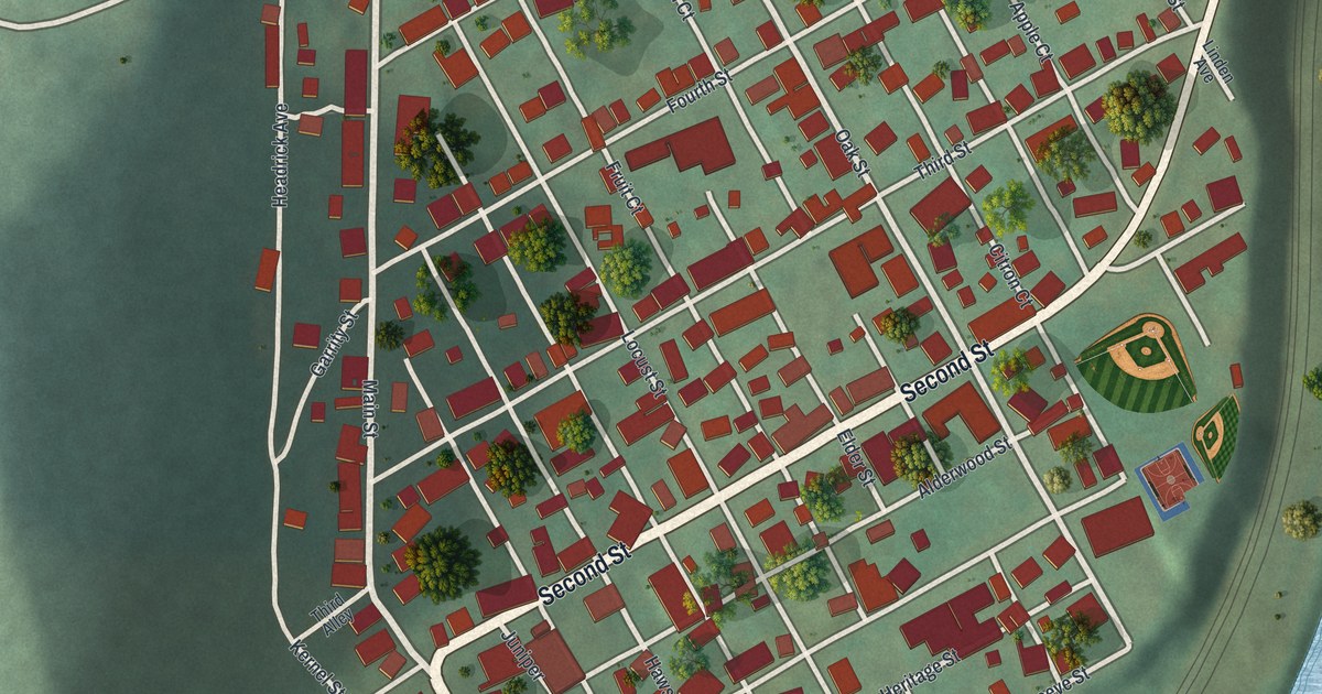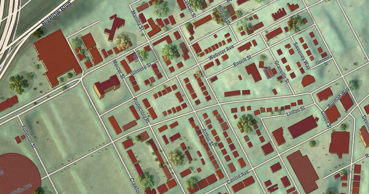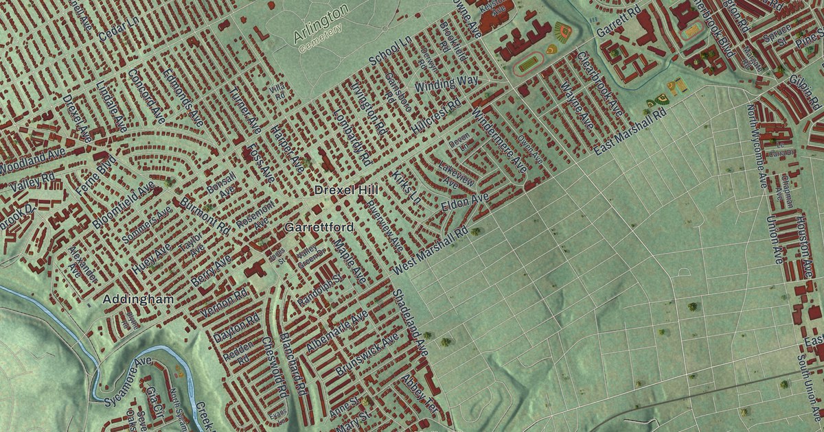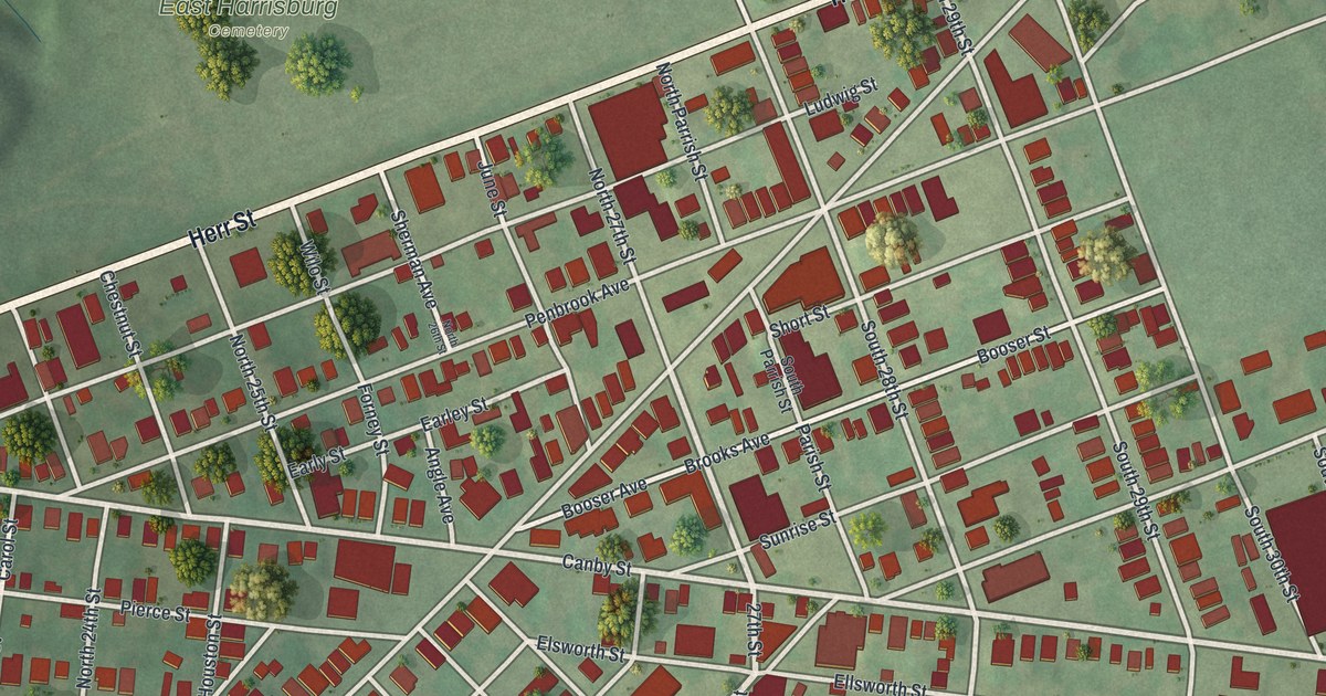
If you grew up in Penbrook, look for your old block on this print. It's a modern aerial view of Penbrook in Dauphin County, Pennsylvania, made with modern data and a vintage feel. Red buildings line the streets, with green spaces among the blocks. Penbrook Park is printed near the bottom right of the map.
30th Street and Lincoln Cemetery's History
On this map you'll find Walnut Street, Herr Street, Penbrook Park, East Harrisburg Cemetery, Canby Street, State Street, Penbrook Avenue, 30th Street, Booser Avenue, Elm Street, Banks Street, Parkway Boulevard, and more. Each red shape is a building, so zoom in on the preview and look for yours.
The Lincoln Cemetery state marker tells part of Penbrook's African American history. Wesley Union A.M.E. Zion Church started the cemetery in 1827. Among those buried there are T. Morris Chester, William Howard Day, and Catherine McClintock. At least 20 Civil War veterans also rest there. The marker's location is 30th Street and Booser Avenue in Penbrook. You can find both street names on this print.
Penbrook Park and Your Own Block

Created by KNOWOL in 2026, the print pairs soft green ground with red buildings and pale streets. A cream border surrounds the view. The title panel reads AERIAL VIEW OF, PENBROOK, PENNSYLVANIA, with 40°17' NORTH 76°51' WEST beneath it.
Hang it in a living room, home office, or entryway. It's a gift for someone who grew up near Penbrook Park or moved away from town. Open the preview to find a familiar street and take a closer look at home. See sizes and frames for the Penbrook map.