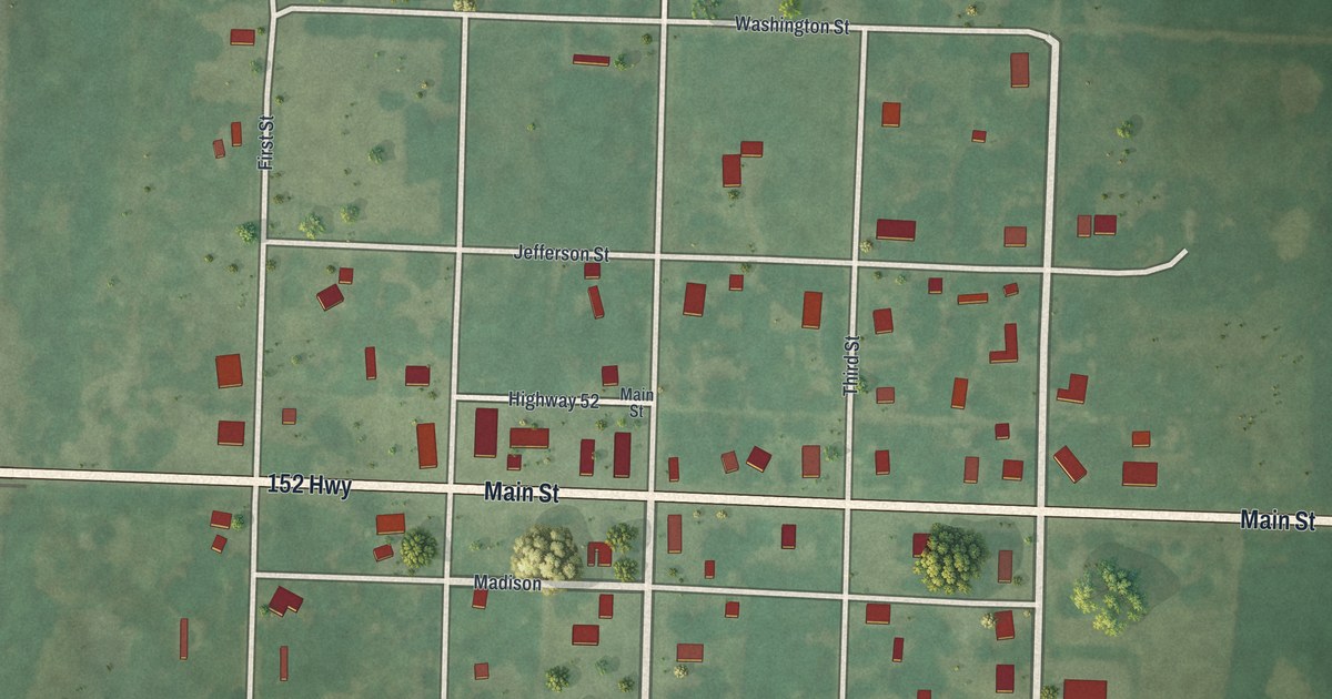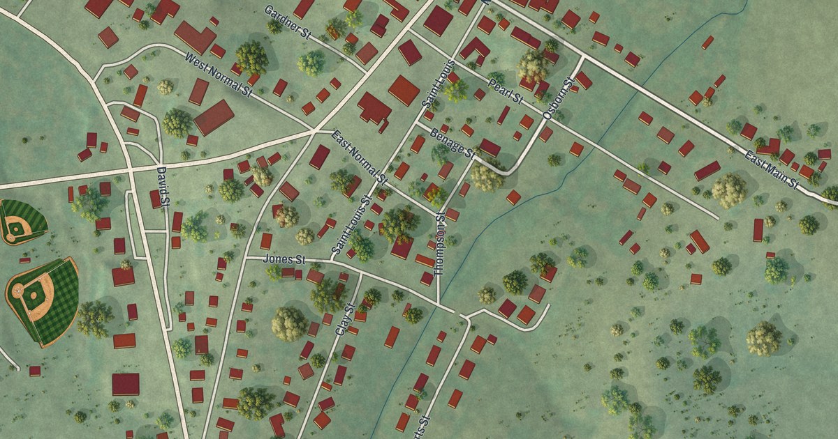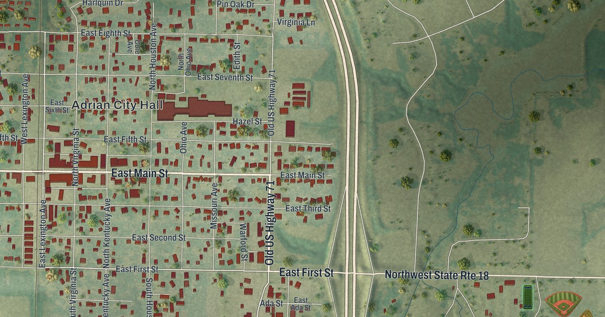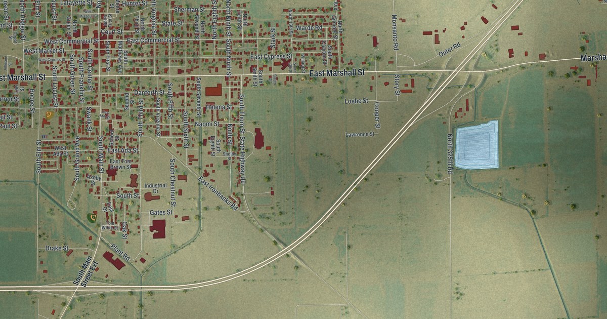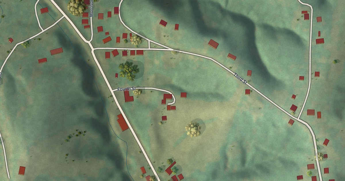
If you grew up in Morrison, these streets may bring home close. This modern aerial view of Morrison in Gasconade County, Missouri uses modern data with a vintage feel. Red buildings line pale roads, with green hills and winding streams around them.
Morrison's first house and store
On this map you'll find Main Street, Morrison Street, First Street, Second Street, Third Street, Fourth Street, Pine Street, Shobe Road, Meyer Avenue, and more. Each red shape is a building, so zoom in on the preview and look for yours.
The county's 1888 history tells how a wagon-maker named Mr. Wessenbach built Morrison's first house. It was a frame house on Lot 5. Mr. Morrison put up a small store in 1858. He also moved the railroad station from nearby Dresden. As you look at the buildings along Main Street and Morrison Street, there's an early town story to share: a wagon-maker built the first home, and a store and station followed.
Morrison's streets on your wall
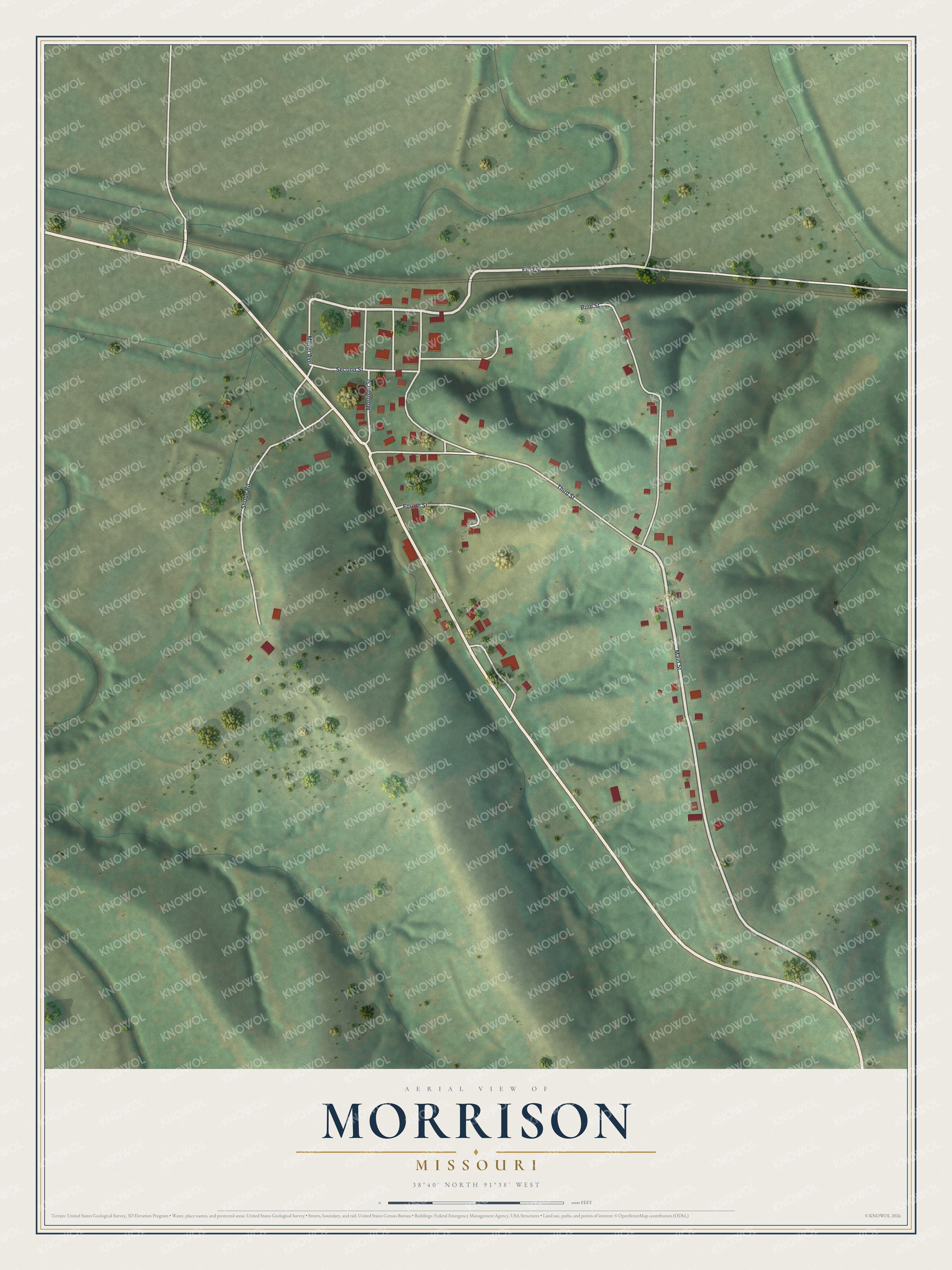
Created by KNOWOL in 2026, the print pairs soft green terrain with red buildings and pale roads. A cream border surrounds the view. The title panel reads AERIAL VIEW OF MORRISON, MISSOURI, with 38°40' NORTH 91°38' WEST below.
It suits a living room, home office, or entryway. It's a gift for someone with family ties to Main Street, or someone who moved away from Morrison. Open the preview and take a closer look at the streets you know. See sizes and frames for the Morrison map.