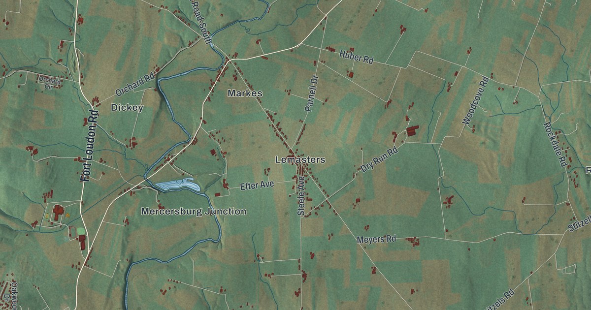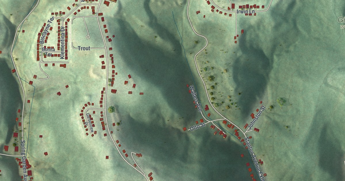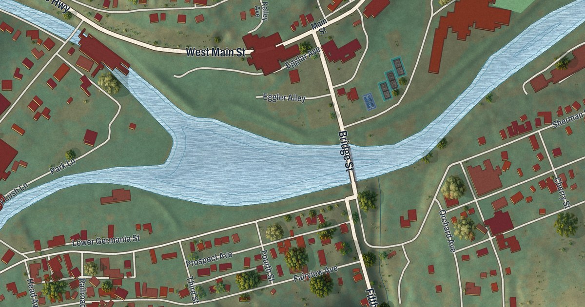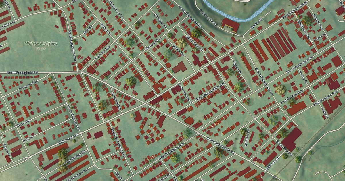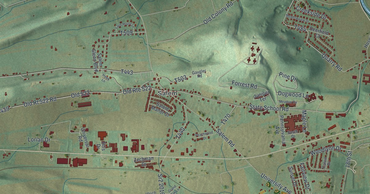
If you grew up around Salem or have family in Penn Township, look for your street. This modern aerial view of Penn in Snyder County, Pennsylvania pairs modern data with a vintage feel. Green hills rise above clusters of red buildings. Blue creeks wind through the view, with a broad river along the right edge.
Salem, Pawling Station and Kantz
On this map you'll find Salem, Pawling Station, Kantz, South Market Street, State School Road, Salem Road, Middle Creek Road, Bake Oven Hill Road, University Avenue, Sand Hill Road, Pine Brook Road, and more. Each red shape is a building, so zoom in on the preview and look for yours.
The broad river at the map's edge sets the scene for a nearby story. In Sunbury, the City Hotel saw the first successful use of three-wire electric lighting. It happened on July 4, 1883. The First Three-Wire Electric Lighting marker records that Thomas A. Edison directed the work. The power plant stood at 4th and Vine Street in Sunbury.
A Penn map with Salem in view

Created by KNOWOL in 2026, the print uses soft green hills, blue water and red building shapes. A cream border surrounds the view. The title panel reads AERIAL VIEW OF PENN, SNYDER COUNTY • PENNSYLVANIA, with 40°48' NORTH 76°54' WEST below.
This Penn print suits a living room, office or entryway. It's a gift for someone who grew up in Salem and now lives far from home. Open the preview and look for the streets your family knows. See sizes and frames for the Penn, Snyder County map.