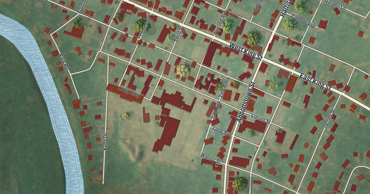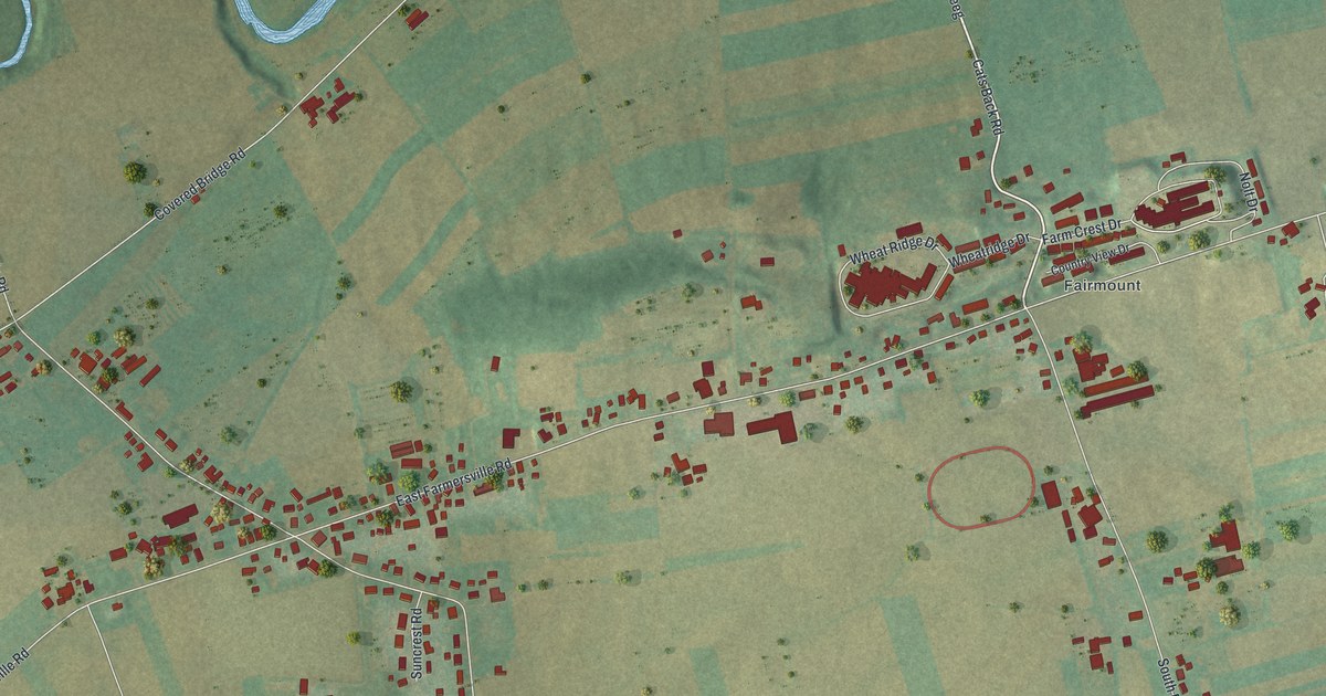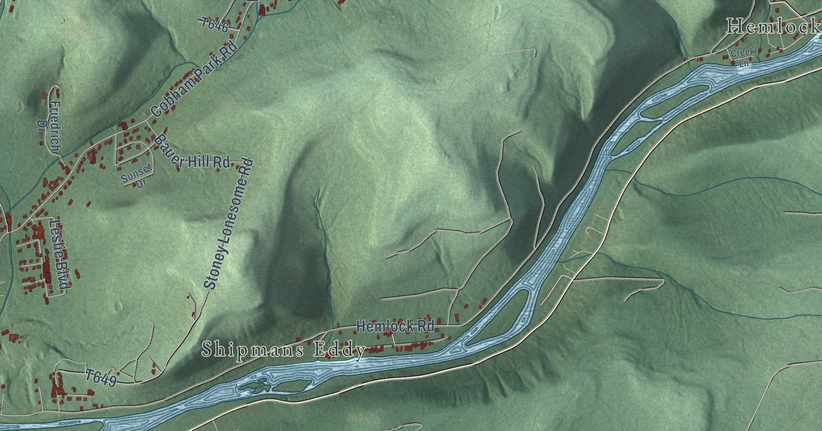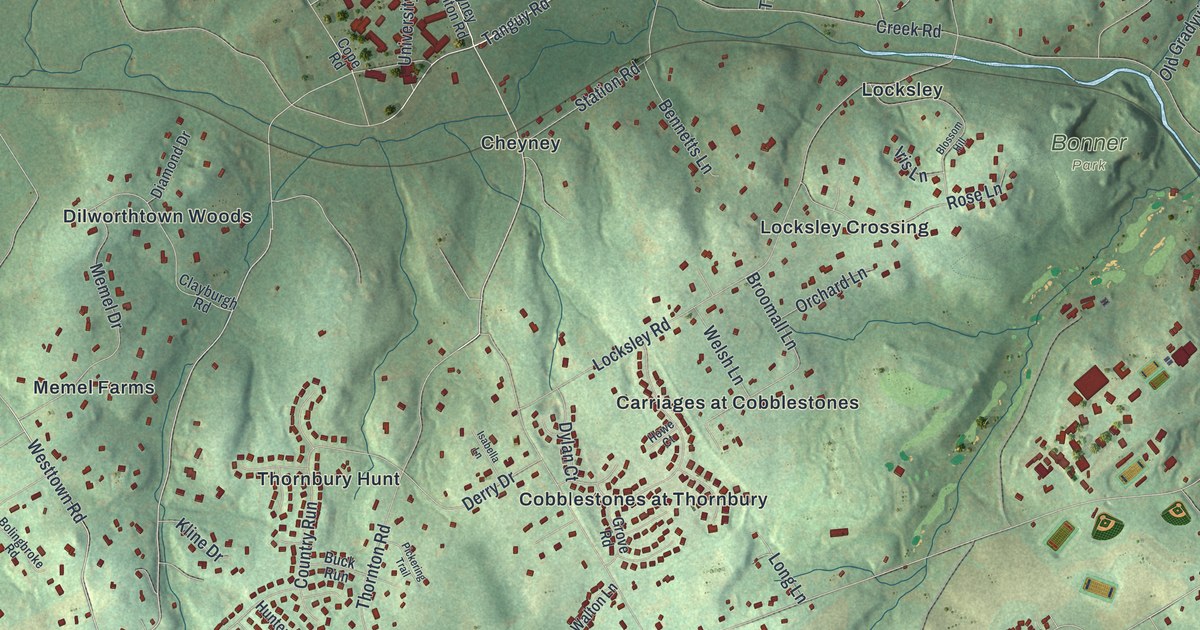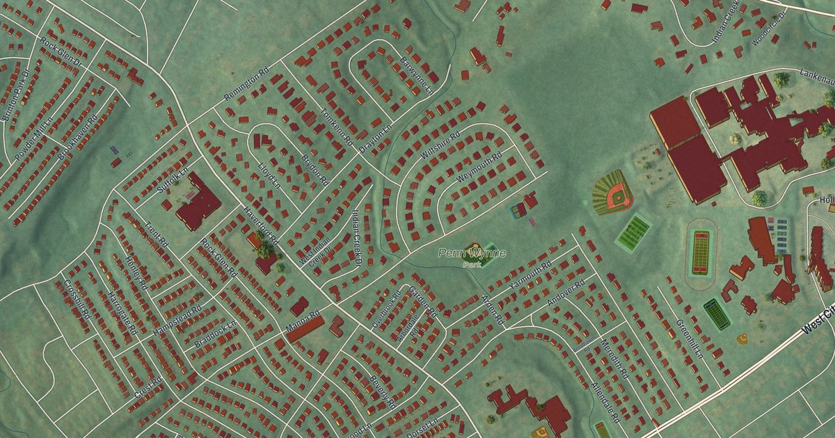
This beautifully detailed map of Penn Wynne, Pennsylvania was created in 2026 using aerial imagery combined with modern topographical, census, street and landmark data. It’s a one-of-a-kind view of Penn Wynne that combines accurate data with a vintage aesthetic. The map shows every building in its true location, many of the roads carry their names, and the shaded topographic relief shows the shape of the land.
Explore an aerial view of Penn Wynne, Pennsylvania
On the map you’ll find Penn Wynne Park, along with West City Avenue, East Lancaster Avenue, Haverford Road, Rosedale Road, Remington Road, Indian Creek Road, Trent Road, Manoa Road, Henley Road, Wiltshire Road, Rock Glen Road, and more. If you look closely you can even find your house accurately drawn in its correct location. Zoom in on the preview to look for yours.
Take a closer look at the Penn Wynne map
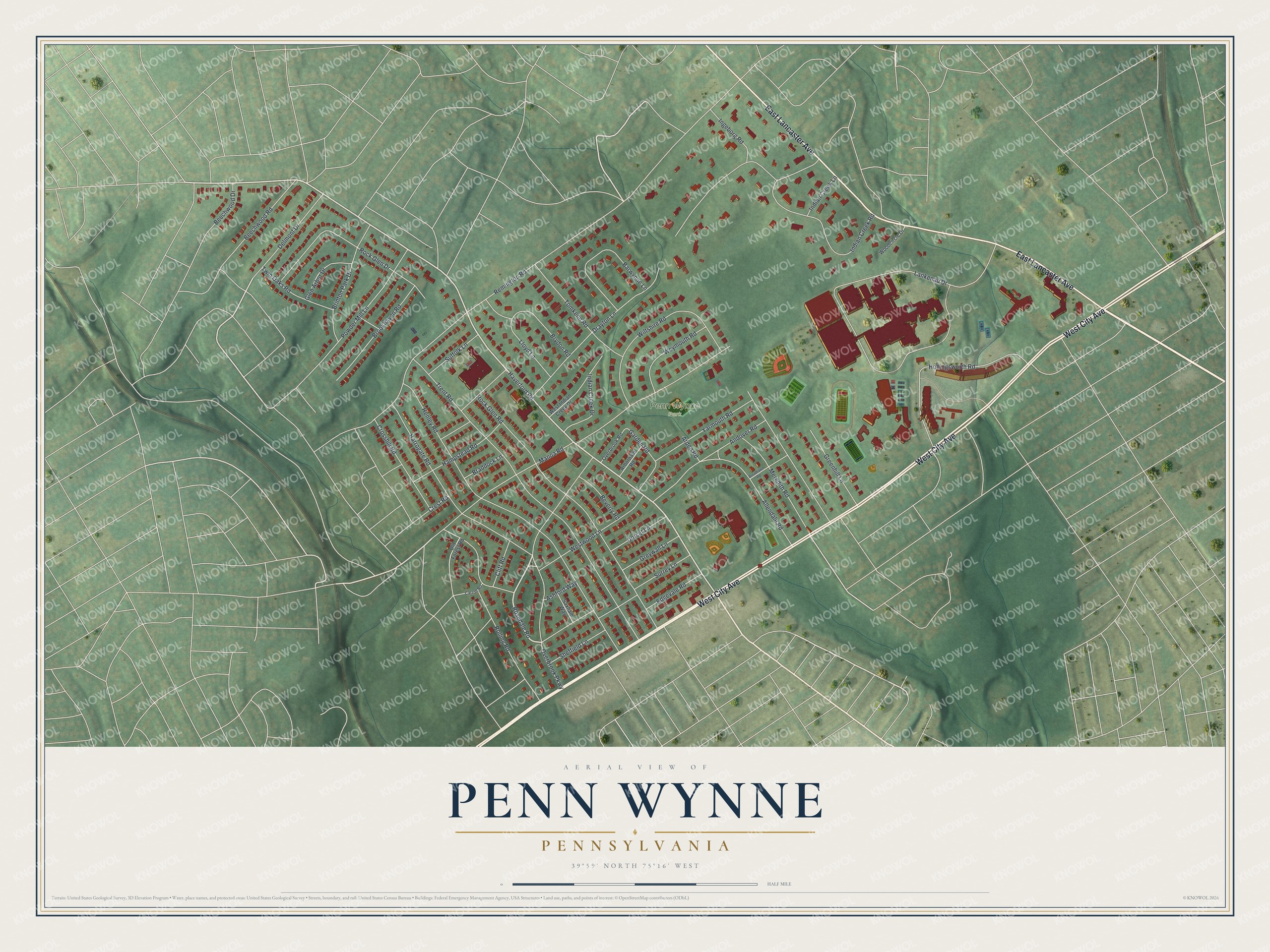
Street and place names on the Penn Wynne, Pennsylvania map
These names are printed on the map of Penn Wynne, Pennsylvania.
Places: Penn Wynne Park.
Streets and roads: West City Avenue, East Lancaster Avenue, Haverford Road, Rosedale Road, Remington Road, Indian Creek Road, Trent Road, Manoa Road, Henley Road, Wiltshire Road, Rock Glen Road, Overbrook Parkway.
More street names, A to Z
Allendale Road, Andover Road, Arbordale Road, Arden Road, Ashford Way, Barwynne Lane, Beechwood Drive, Beechwood Road, Beverly Road, Braddock Lane, Brinton Park Drive, Broadlawn Road, Brookhaven Road, Brydon Road, Carroll Road, Cliff Road, Crest Road, Crosshill Road, Delmont Drive, Dorset Lane, Drayton Lane, Edgevale Road, Garden Road, Glen Arbor Drive, Greenhill Lane, Greywall Lane, Hampstead Road, Harrogate Road, Hollingsworth Road, Indian Creek Drive, Indian Creek Lane, Ingeborg Road, Lankenau Drive, Lloyd Lane, Meredith Road, Old Forest Road, Overbrook Road, Powder Mill Lane, Rock Glen Drive, Rolling Road, Saxham Way, Sheffield Lane, Suffolk Lane, Surrey Lane, Tomkenn Road, Twin Oaks Road, West Indian Creek Drive, Westwood Lane, Weymouth Road, Woodcircle Drive, Yarmouth Road.
See the Penn Wynne, Pennsylvania map on a wall
The Penn Wynne map as an 18 x 24 inch print in a black frame.

This beautifully detailed map of Penn Wynne makes an attractive addition to your office, library, or den, and it can even be used to teach children the geography and history of the area. It also makes a great gift for anyone who grew up in Penn Wynne or moved away. When you’re done exploring, click here to get your copy of the Penn Wynne map.