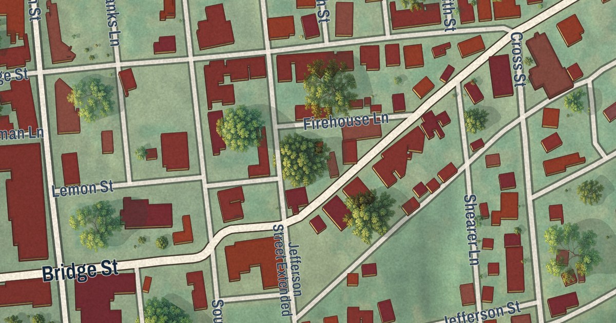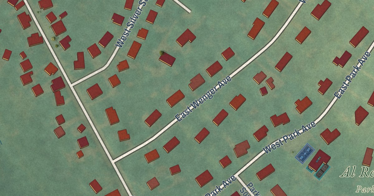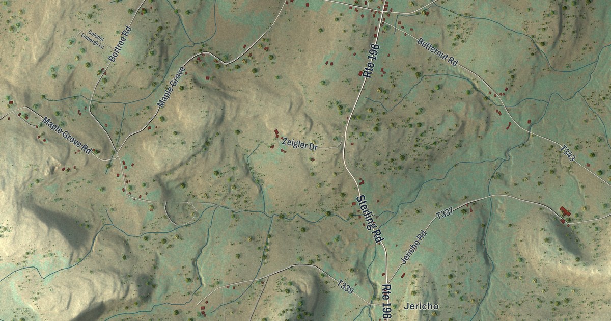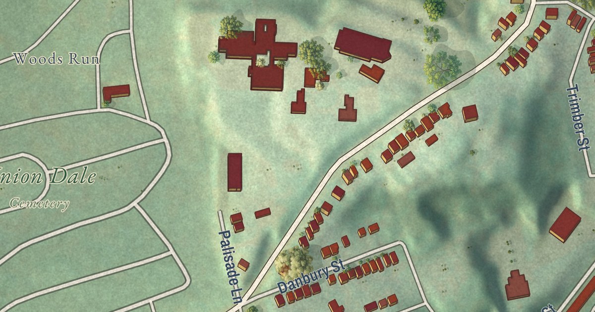
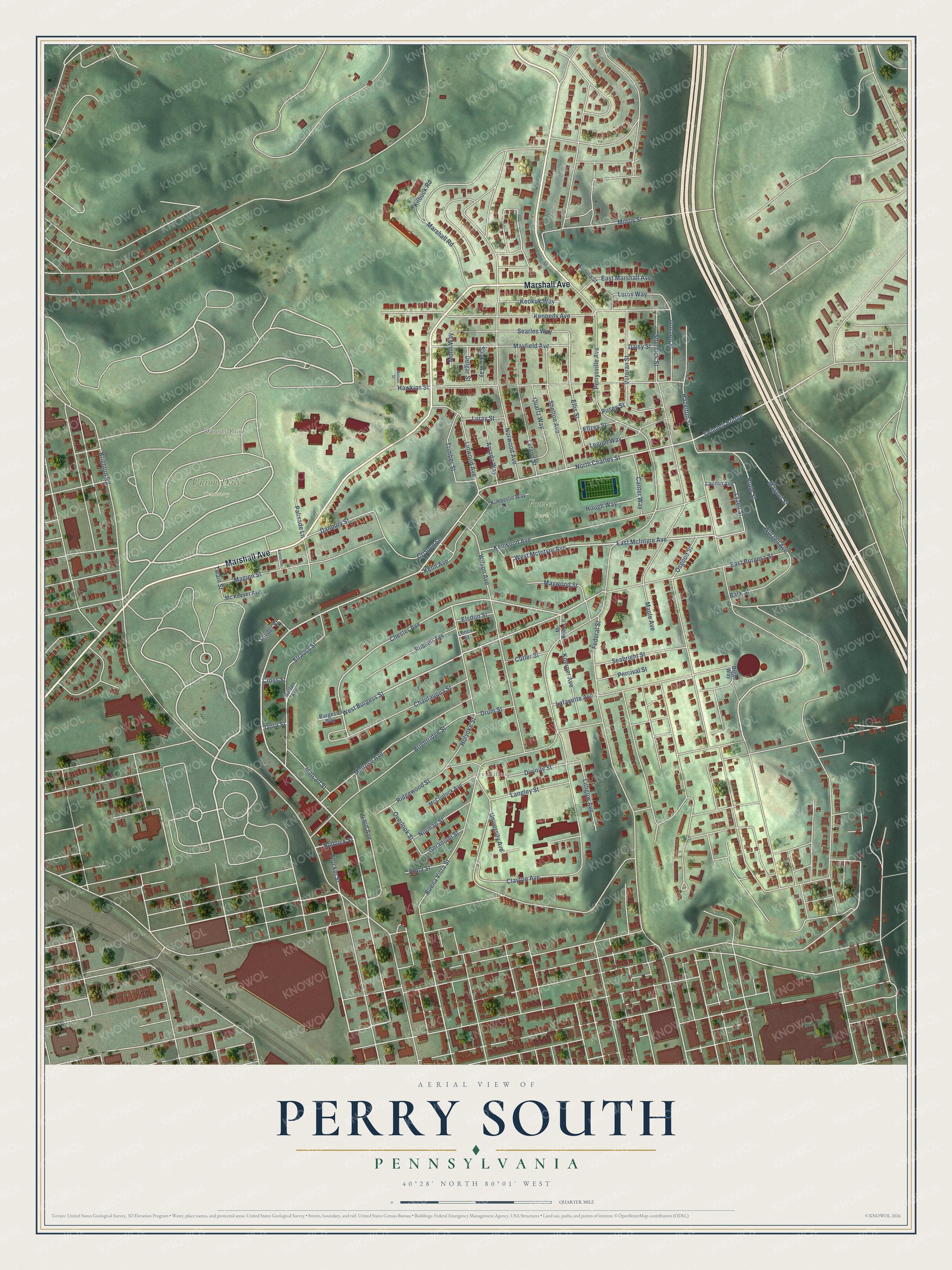
This beautifully detailed map of Perry South, Pennsylvania was created in 2026 using aerial imagery combined with modern topographical, census, street and landmark data. It’s a one-of-a-kind view of Perry South that combines accurate data with a vintage aesthetic. The map shows every building in its true location, many of the roads carry their names, and the shaded topographic relief shows the shape of the land.
Explore an aerial view of Perry South, Pennsylvania
On the map you’ll find Fowler Park, Union Dale Cemetery, Perry Hilltop, and Woods Run, along with Marshall Avenue, Irwin Avenue, West Burgess Street, Chester Avenue, East McIntyre Avenue, Lyzell Street, West McIntyre Avenue, Divinity Street, and more. If you look closely you can even find your house accurately drawn in its correct location. Zoom in on the preview to look for yours.
Did you know this about Perry South, Pennsylvania?
From the City of Pittsburgh: "Perry Hilltop is a diverse, close-knit community, located on the Northside of Pittsburgh."
Take a closer look at the Perry South map
Street and place names on the Perry South, Pennsylvania map
These names are printed on the map of Perry South, Pennsylvania.
Places: Fowler Park, Union Dale Cemetery, Perry Hilltop and Woods Run.
Streets and roads: Marshall Avenue, North Charles Street, West Burgess Street, Swindell Bridge, East McIntyre Avenue, West McIntyre Avenue, Lyzell Street, Chester Avenue, Irwin Avenue, Danbury Street, Ellis Street, Magnet Street.
More street names, A to Z
Arvada Way, Bark Street, Biggs Way, Brighton Road, Brightridge Street, Brule Street, Buena Vista Street, Burgess Way, Canter Way, Chautauqua Street, Clayton Avenue, Crispen Street, Cross Street, Cutler Street, Daisy Street, Delgar Street, Divinity Street, Drum Street, East Burgess Street, East Marshall Avenue, Ellzey Street, Elsdon Street, Federal Street, Flocker Street, Geranium Street, Goshen Street, Harlan Avenue, Hawkins Street, Hazelton Street, Holyoke Street, Hough Way, Izora Street, Katherine Street, Kenn Avenue, Kennedy Avenue, Kenwood Avenue, Keokuk Way, Kilbuck Road, Kimberlin Way, Koerner Avenue, Lafayette Avenue, Langley Street, Lawton Avenue, Legion Way, Leland Street, Lenox Street, Leroy Way, Linwood Avenue, Lithgow Avenue, Luray Street, Maginn Street, Maple Avenue, Marshall Road, Matson Street, Mayfield Avenue, Maywood Street, McClintock Avenue, Mc Kees Lane, Mc Keever Avenue, Melrose Avenue, Metcalf Street, Milroy Street, Mohn Way, Norman Street, Norwood Avenue, Nublock Street, Osgood Street, Overlook Street, Palisade Lane, Percival Street, Perrysville Avenue, Pusey Street, Quartz Way, Ridgewood Street, Rolla Street, Russell Avenue, Seabright Street, Searles Way, Shako Way, Shelton Avenue, Sherlock Street, Snyder Street, Sonora Street, Strauss Street, Trimber Street, Twain Street, University Avenue, Veteran Street, Wilson Avenue, Wurzell Avenue.
See the Perry South, Pennsylvania map on a wall
The Perry South map as an 18 x 24 inch print in a black frame.

This beautifully detailed map of Perry South makes an attractive addition to your office, library, or den, and it can even be used to teach children the geography and history of the area. It also makes a great gift for anyone who grew up in Perry South or moved away. When you’re done exploring, click here to get your copy of the Perry South map.