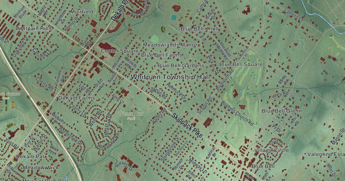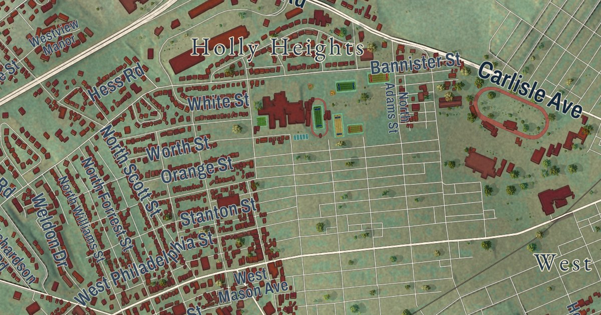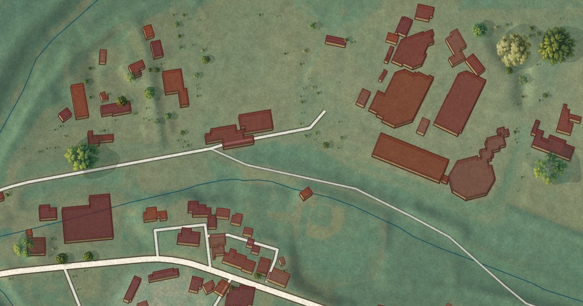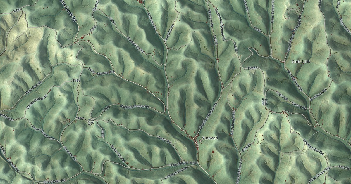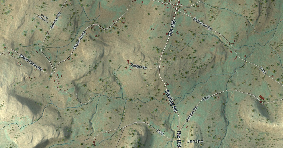
This beautifully detailed map of Sterling, Pennsylvania was created in 2026 using aerial imagery combined with modern topographical, census, street and landmark data. It’s a one-of-a-kind view of Sterling that combines accurate data with a vintage aesthetic. The map shows every building in its true location, many of the roads carry their names, and the shaded topographic relief shows the shape of the land.
Explore an aerial view of Sterling, Pennsylvania
On the map you’ll find Callapoose and Jericho, along with Twin Rocks Road, Sterling Road, Easton Turnpike, Gas Hollow Road, Sepko Road, Driftwood Road, Uban Road, West Side Drive, Maverick Drive, and more. If you look closely you can even find your house accurately drawn in its correct location. Zoom in on the preview to look for yours.
Did you know this piece of Sterling, Pennsylvania history?
From the 1886 History of Wayne, Pike, and Monroe Counties, Pennsylvania: "Orlando Avery, the oldest son, was a soldier in the war of the Rebellion; after its close took a soldier’s claim to one hundred and sixty acres in Nebraska; subsequently purchased six hundred and forty acres more and is farming extensively."
Take a closer look at the Sterling map
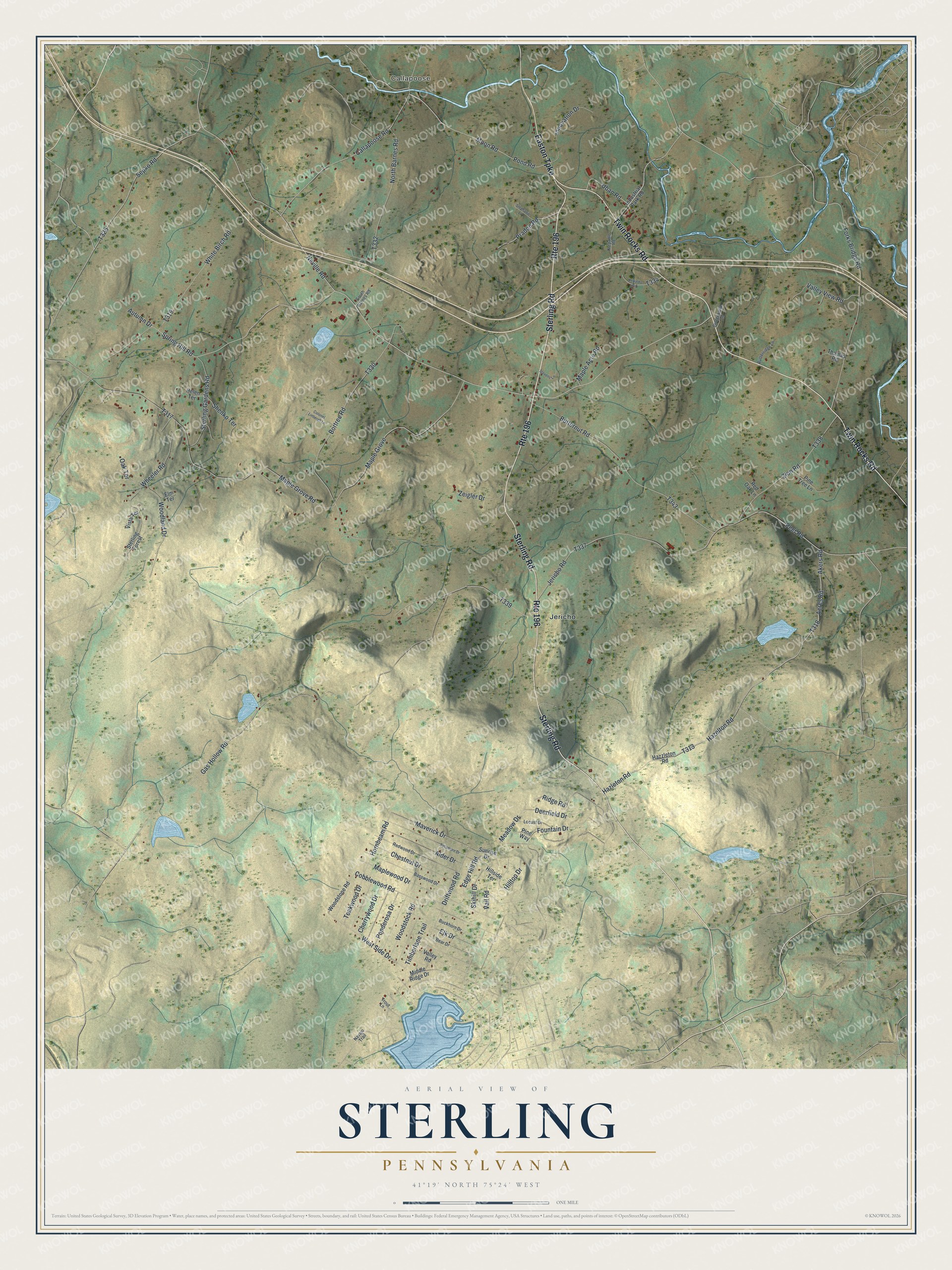
Street and place names on the Sterling, Pennsylvania map
These names are printed on the map of Sterling, Pennsylvania.
Places: Callapoose and Jericho.
Streets and roads: Route 196, Twin Rocks Road, Sterling Road, Easton Turnpike, Gas Hollow Road, Sepko Road, Driftwood Road, Uban Road, West Side Drive, Maverick Drive, Cobblewood Road, Akers Road.
More street names, A to Z
Acres Road, Alder Drive, Autumn Drive, Basswood Drive, Bear Drive, Bortree Road, Buckhorn Drive, Butternut Road, Butterridge Lane, Butterwood Lane, Callapoose Road, Cherrywood Drive, Chestnut Drive, Colonel Linbergh Lane, Deerfield Drive, Edge Hill Road, Elk Drive, Elm Terrace, Forks Bridge Road, Fountain Drive, Hazelton Road, Hazleton Road, Hazzleton Road, Helen Terrace, Hillside Terrace, Hilltop Drive, Hornbeam Road, Industrial Park Road, Innovation Drive, Jericho Road, Kepaldo Road, Klepadlo Road, Locust Drive, Maple Acre Road, Maple Grove, Maple Grove Road, Maplewood Drive, Meadow Drive, Middle Ridge Drive, Moon Road, Navajo Trail, Neville Road, North Barnes Road, Oak Terrace, Peet Road, Pine Tree Lane, Pine Way, Ponderosa Drive, Pond Road, Pradon Road, Red Oak Lane, Redwood Drive, Ridge Road, Shenko Terrace, Skihill Drive, South Barnes Road, Spring Hill Road, Stephanie Lane, Sterling Forest, Sterling Gardens Road, Stevens Lane, Sunrise Drive, Sycamore Drive, Teakwood Drive, Thomas Road, Timberlane Trail, Trout Lane, Vail Road, Valley Road, Valley View Road, Vista Terrace, Wheeler Road, White Birch Road, Woodland Drive, Woodstock Road, Woodstone Road, Zeigler Drive, Zion Road.
See the Sterling, Pennsylvania map on a wall
The Sterling map as an 18 x 24 inch print in a black frame.

This beautifully detailed map of Sterling makes an attractive addition to your office, library, or den, and it can even be used to teach children the geography and history of the area. It also makes a great gift for anyone with Sterling roots. When you’re done exploring, click here to get your copy of the Sterling map.