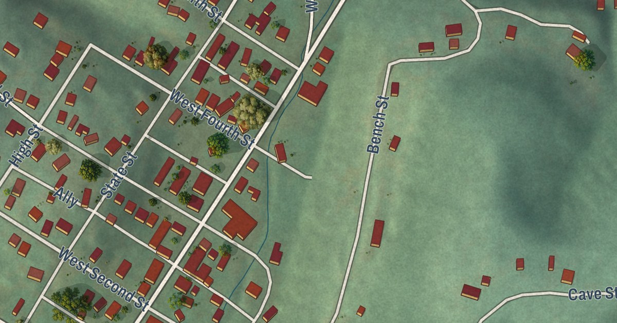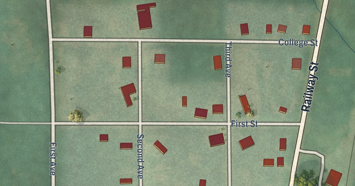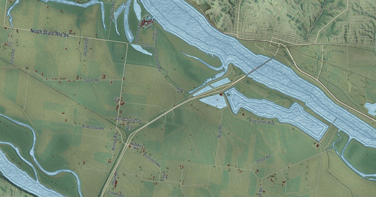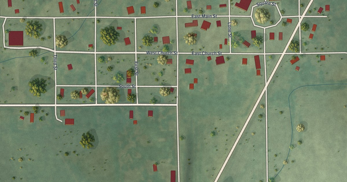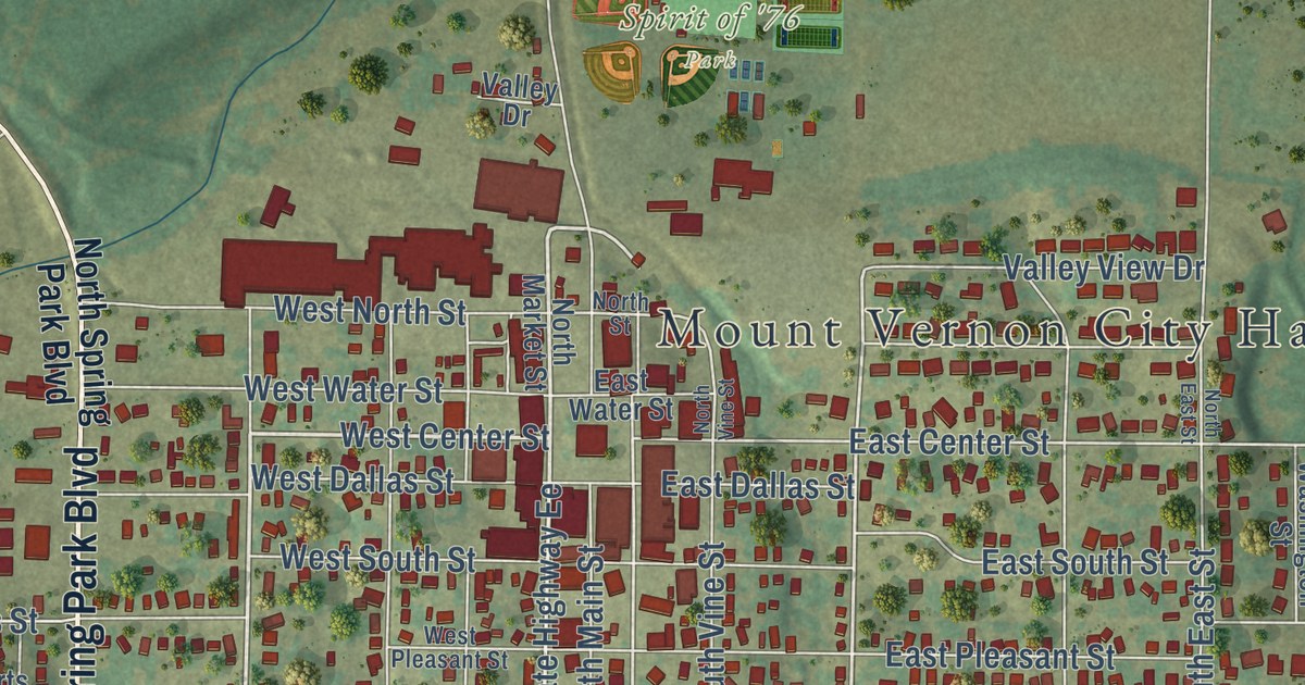
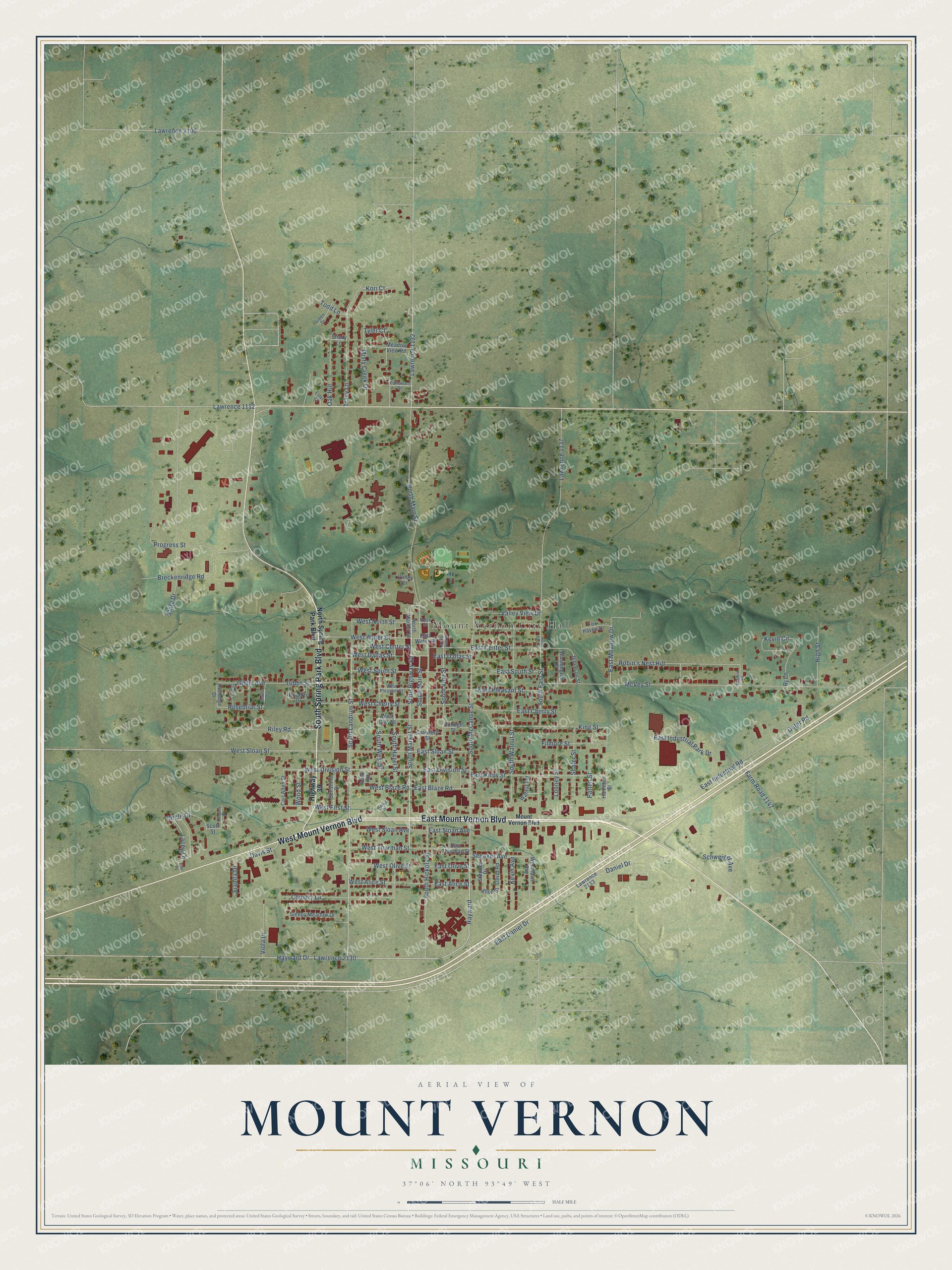
This beautifully detailed map of Mount Vernon, Missouri was created in 2026 using aerial imagery combined with modern topographical, census, street and landmark data. It’s a one-of-a-kind view of Mount Vernon that combines accurate data with a vintage aesthetic. The map shows every building in its true location, many of the roads carry their names, and the shaded topographic relief shows the shape of the land.
Explore an aerial view of Mount Vernon, Missouri
On the map you’ll find Mount Vernon City Hall, Spirit of ’76 Park, and Hayward, along with East Mount Vernon Boulevard, West Mount Vernon Boulevard, Highway 39, South Spring Park Boulevard, Mount Vernon Boulevard, South Landrum Street, West Center Street, State Highway Ee, South McCanse Street, and more. If you look closely you can even find your house accurately drawn in its correct location. Zoom in on the preview to look for yours.
Did you know this piece of Mount Vernon, Missouri history?
Mount Vernon was laid out in 1845 and became the seat of Lawrence County. The city took its name from George Washington’s estate, which was also called Mount Vernon. A post office opened under that name in 1846.
Take a closer look at the Mount Vernon map
Street and place names on the Mount Vernon, Missouri map
These names are printed on the map of Mount Vernon, Missouri.
Places: Mount Vernon City Hall and Spirit of '76 Park.
Streets and roads: East Mount Vernon Boulevard, West Mount Vernon Boulevard, South Spring Park Boulevard, South Landrum Street, Hayward, West Center Street, South Market Street, East Alice Street, South McCanse Street, Davis Street, State Highway Ee, South Hickory Street.
More street names, A to Z
Alice Street, Bluebird Road, Breckenridge Road, Carl Allen Street, Circle Drive, College Street, Country Lane, Crawford Street, Daniel Drive, David Road, East Blaze Road, East Center Street, East Cherry Street, East Dallas Street, East Daniel Drive, East Division Street, East Industrial Park Drive, East Industrial Road, East Kirby Street, East Meadow Drive, East Olive Street, East Pleasant Street, East Sloan Avenue, East Sloan Street, East South Street, East Thurman Street, East Water Street, Elder Court, Farm Road 1147, Filmore Street, Fox Haven Drive, Gibbs Avenue, Gibbs Street, Green Drive, Hamilton Street, Hayward Drive, High Street, Highway 39, Itascha Street, Jeane Drive, Jefferson Street, Juanita Drive, Kevin Avenue, Kevin Circle, Kimberly Drive, King Street, Kori Court, Lacey Lane, Lawrence 1112, Lawrence 1132, Lawrence 1137, Lawrence 2100, Lawrence 2130, Lawrence 2133, Looney Street, McVey Street, Meadow View Road, Misty Creek Drive, Mount Vernon Boulevard, North East Street, North Main Street, North Market Street, North Spring Park Boulevard, North Street, North Vine Street, Oak Hill, Outer Road, Patten Street, Patterson Street, Pine Drive, Progress Street, Riley Road, Rj Lane, Roberts Drive, Robin's Nest Hill, Rock Road, Rosebriar Street, Rutledge Drive, Schweiger Avenue, Scott Street, Seneker Avenue, Shady Lane, Shafer Street, Sleepy Meadow Drive, South East Street, South Hazel Street, South Main Street, South Vine Street, South Walnut Street, South West Street, State Drive, Stephen Drive, Sunshine Drive, Todd Lane, Tracy Lane, Tyler Court, Valley Drive, Valley View Drive, Viola Drive, Walnut Drive, Walnut Terrace, Washington Street, West Alice Street, West Blaze Road, West Cherry Street, West Clay Street, West Dallas Street, West Division Street, West First Street, West North Street, West Olive Street, West Pleasant Street, West Sloan Avenue, West Sloan Street, West South Street, West Thurman Street, West Water Street, Woodlawn Avenue, Wood Street.
See the Mount Vernon, Missouri map on a wall
The Mount Vernon map as an 18 x 24 inch print in a black frame.

This beautifully detailed map of Mount Vernon makes an attractive addition to your office, library, or den, and it can even be used to teach children the geography and history of the area. It also makes a great gift for anyone with Mount Vernon roots. When you’re done exploring, click here to get your copy of the Mount Vernon map.