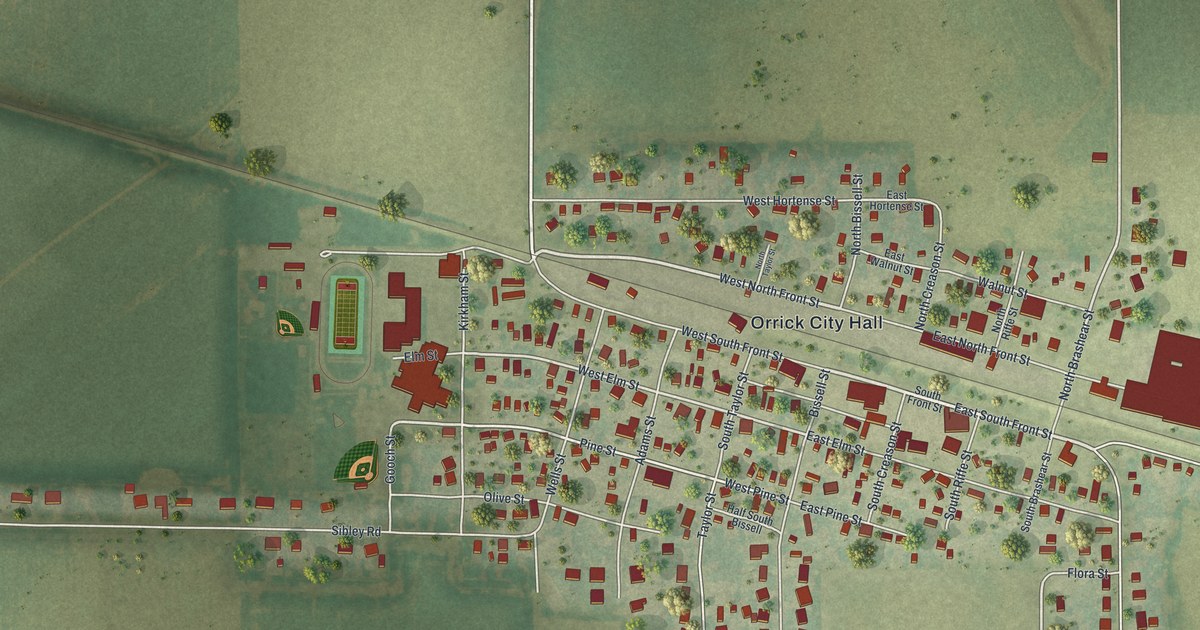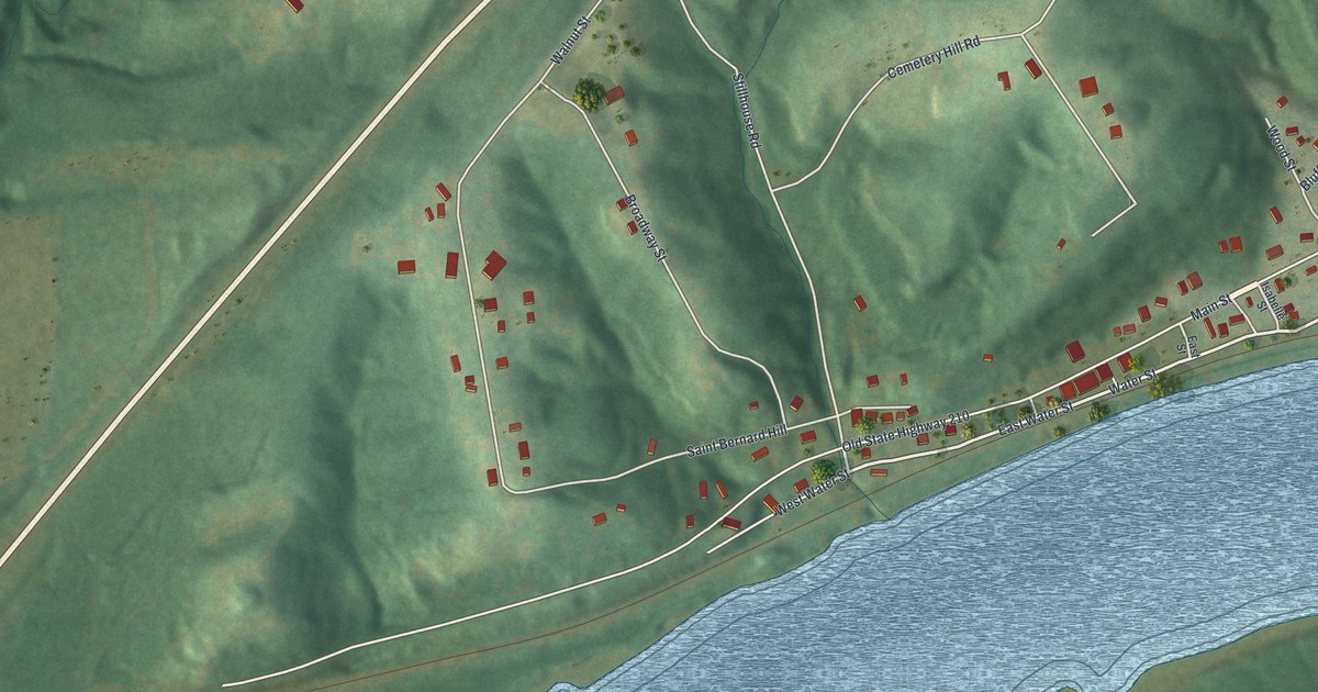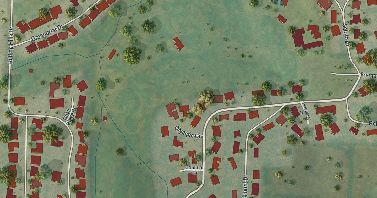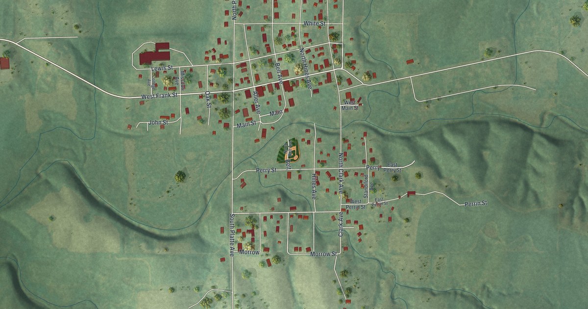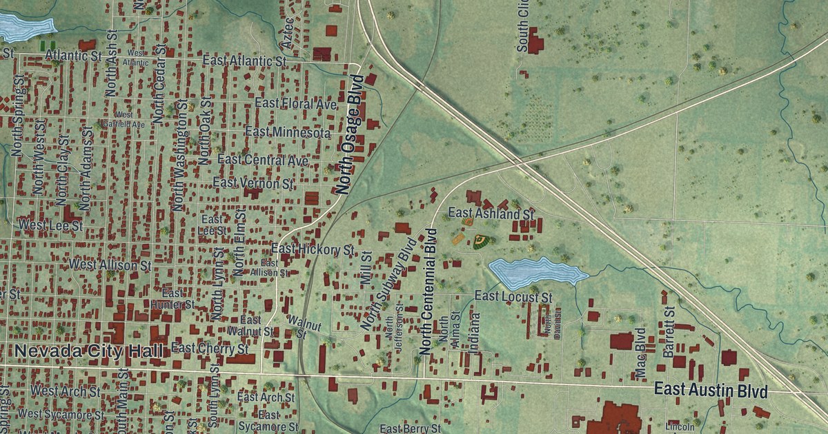
If you grew up in Nevada or still have family near Austin Boulevard, this map is for you. It's a modern aerial view of Nevada in Vernon County, Missouri, built from modern data and given a vintage look. The town's red buildings crowd a tight grid of streets on the left side of the sheet. Green hills, fields and small blue creeks fill the rest. Down in the lower corner, Twin Lakes Park shows its blue ponds.
Nevada's Courthouse and County Jail on North Main Street
On this map you'll find North Main Street, South Main Street, East Austin Boulevard, West Austin Boulevard, North Osage Boulevard, East Cherry Street, North Cedar Street, North Ash Street, Nevada City Hall, Marmaduke Park, Walton Park, Twin Lakes Park, Country Club Drive, Tiger Avenue, and more. Each red shape is a building, so zoom in on the preview and look for yours.
Downtown Nevada is built around its courthouse. The Vernon County Courthouse fills the block framed by Cherry, Cedar, Walnut and Main streets. It was added to the National Register of Historic Places in 1997. Close by, at 229 North Main Street, stands the Vernon County Jail, Sheriff's House and Office. It joined the Register 20 years earlier, in 1977. Cherry Street and Main Street are both printed on the map, and they are two of the four streets that frame the courthouse block.
Missouri State Hospital Number 3 on North Ash Street
Nevada has a third building on the Register. The Infirmary Building of Missouri State Hospital Number 3 stands at 2095 North Ash Street. It was listed in 2005. North Ash Street is printed on the map, so you can spot it among the town's other streets.
Nevada's story also reaches back to early settlers in the area. The 1911 History of Vernon County tells of a settlement south of Nevada on Moore's Branch. It names William Moore, David Teel and Judge William Hudson as settlers there.
Nevada, from Walton Park to Twin Lakes Park
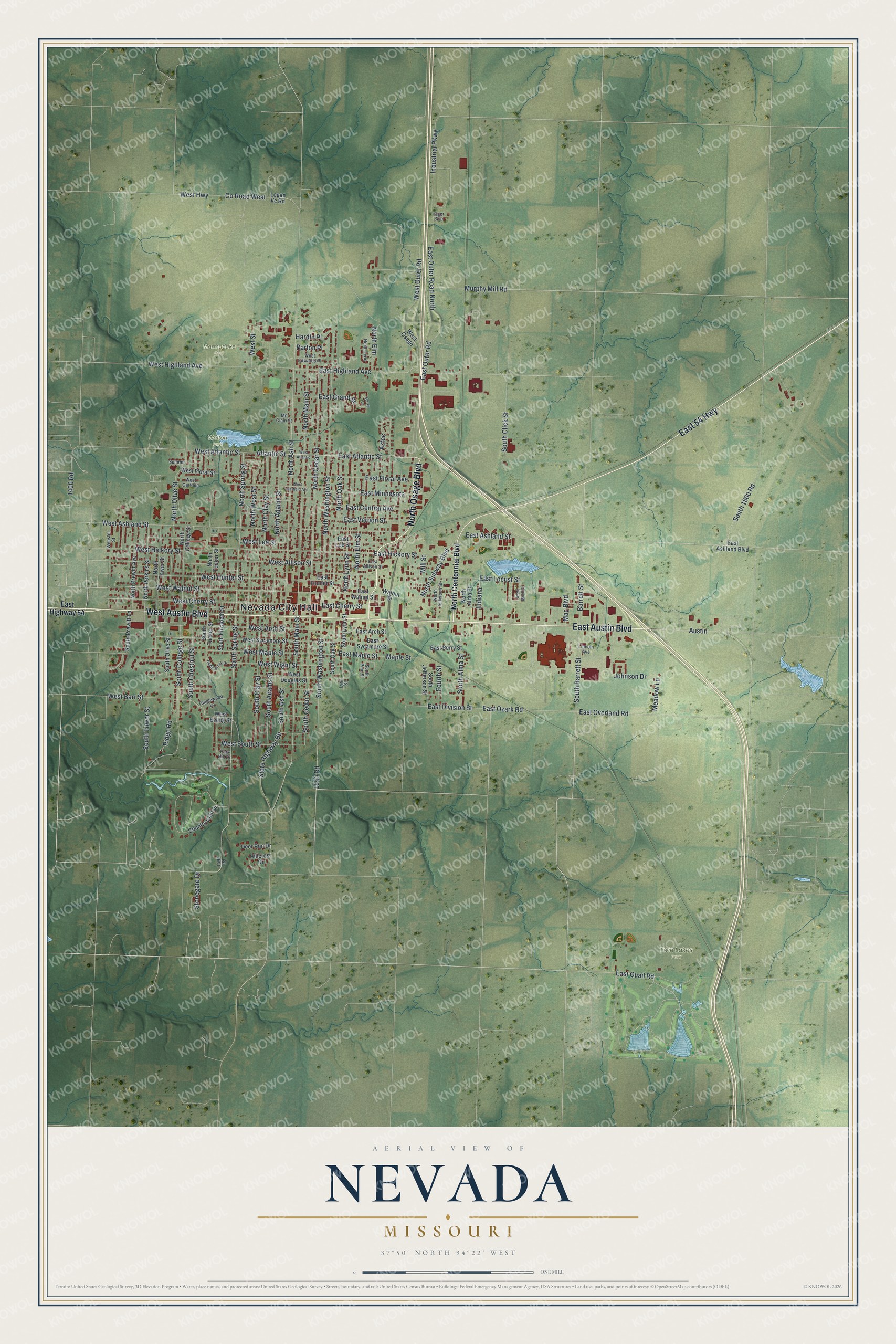
Created by KNOWOL in 2026, this print shows Nevada in soft greens, with shaded hills, thin blue creeks and every building in deep red. The title panel at the bottom reads "Aerial View of Nevada, Missouri" with 37°50' North 94°22' West printed just below.
It fits well in a living room, a hallway or a home office. It makes a good gift for anyone who grew up near the Vernon County Courthouse or who still thinks of home when they drive down Austin Boulevard. Open the preview and find your street. See sizes and frames for the Nevada map.