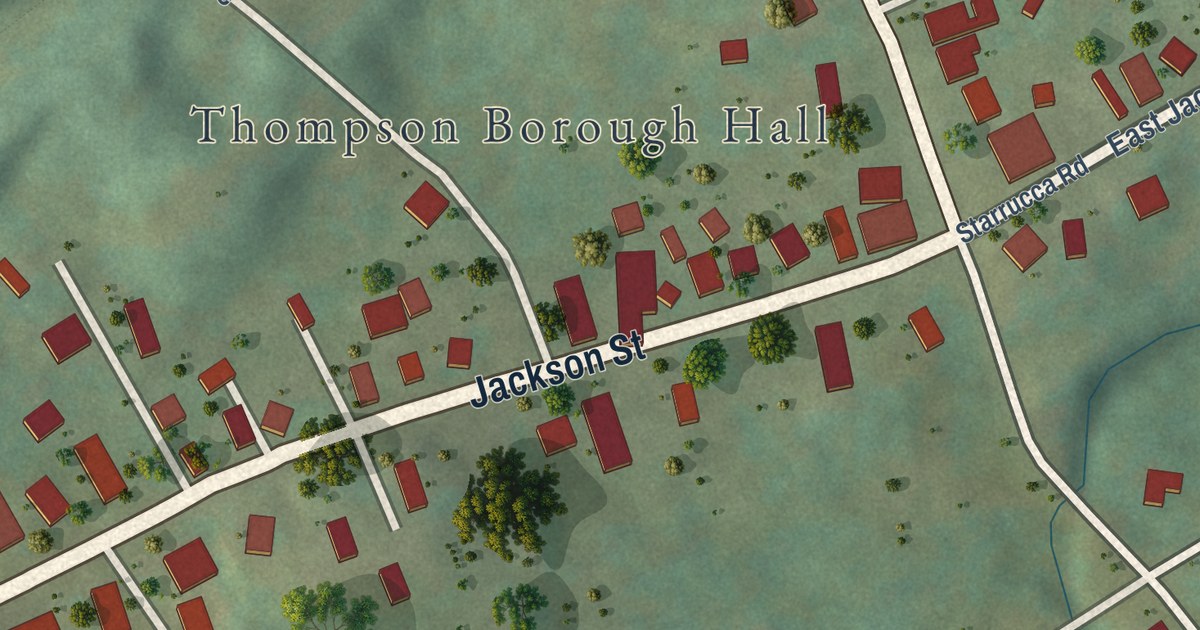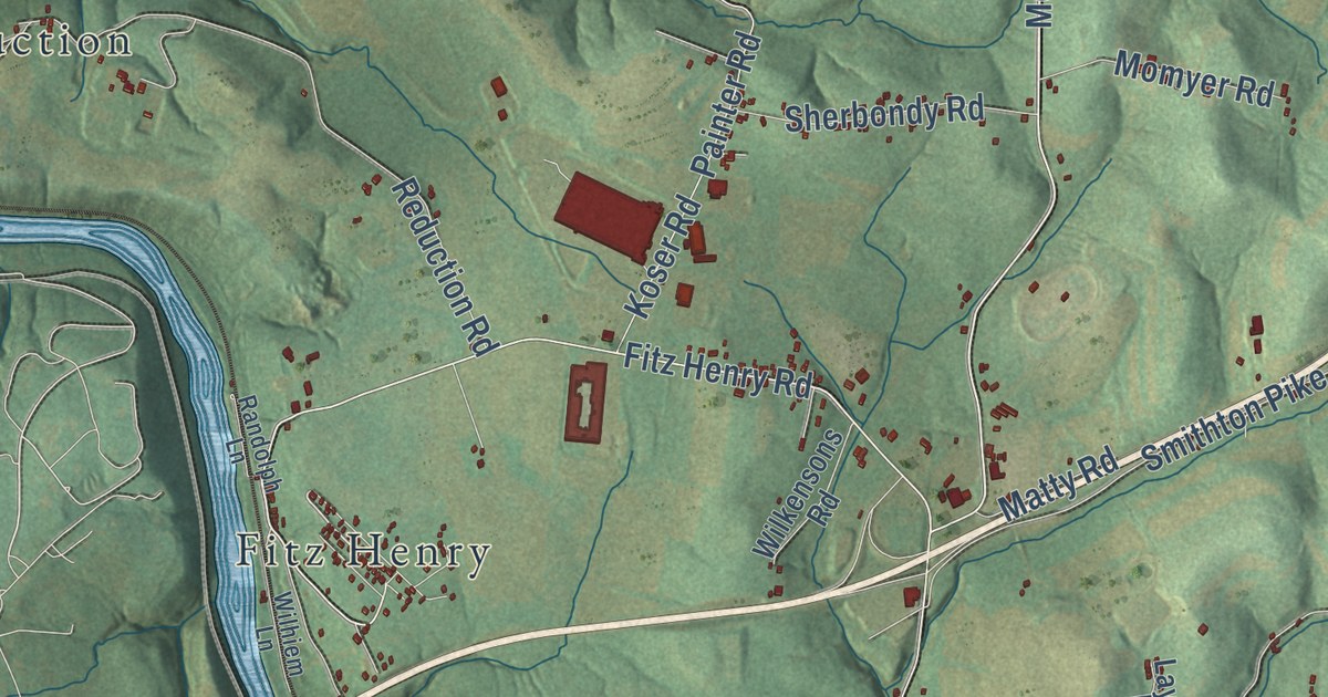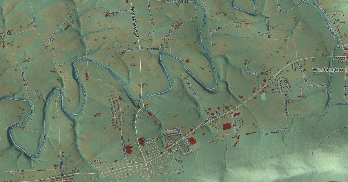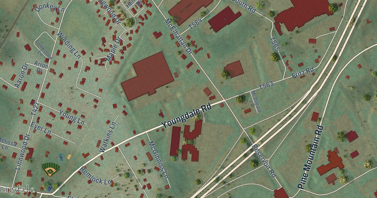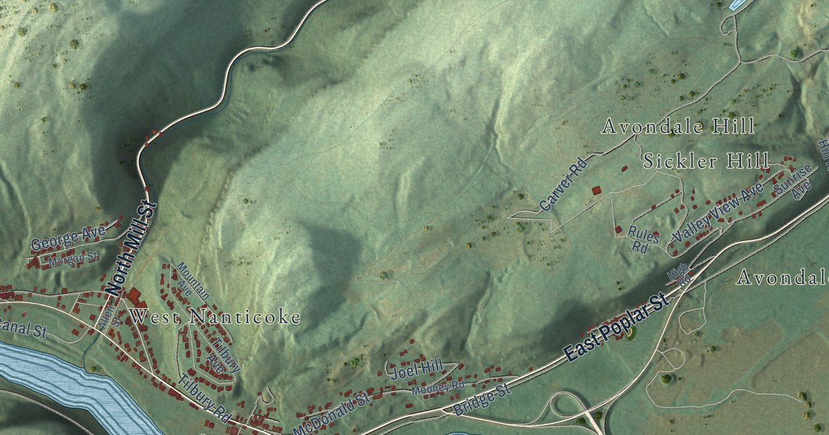
This beautifully detailed map of Plymouth Township, Luzerne County, Pennsylvania was created in 2026 using aerial imagery combined with modern topographical, census, street and landmark data. It’s a one-of-a-kind view of Plymouth Township that combines accurate data with a vintage aesthetic. The map shows every building in its true location, many of the roads carry their names, and the shaded topographic relief shows the shape of the land.
Explore an aerial view of Plymouth Township, Luzerne County, Pennsylvania
On the map you’ll find Pinchot State Forest, Plymouth Flats, Avondale, Avondale Hill, Cease Mills, Curry Hill, Hughs, Johnson Greene, Sickler Hill, and West Nanticoke, along with East Poplar Street, North Mill Street, and more. If you look closely you can even find your house accurately drawn in its correct location. Zoom in on the preview to look for yours.
Take a closer look at the Plymouth Township, Luzerne County map
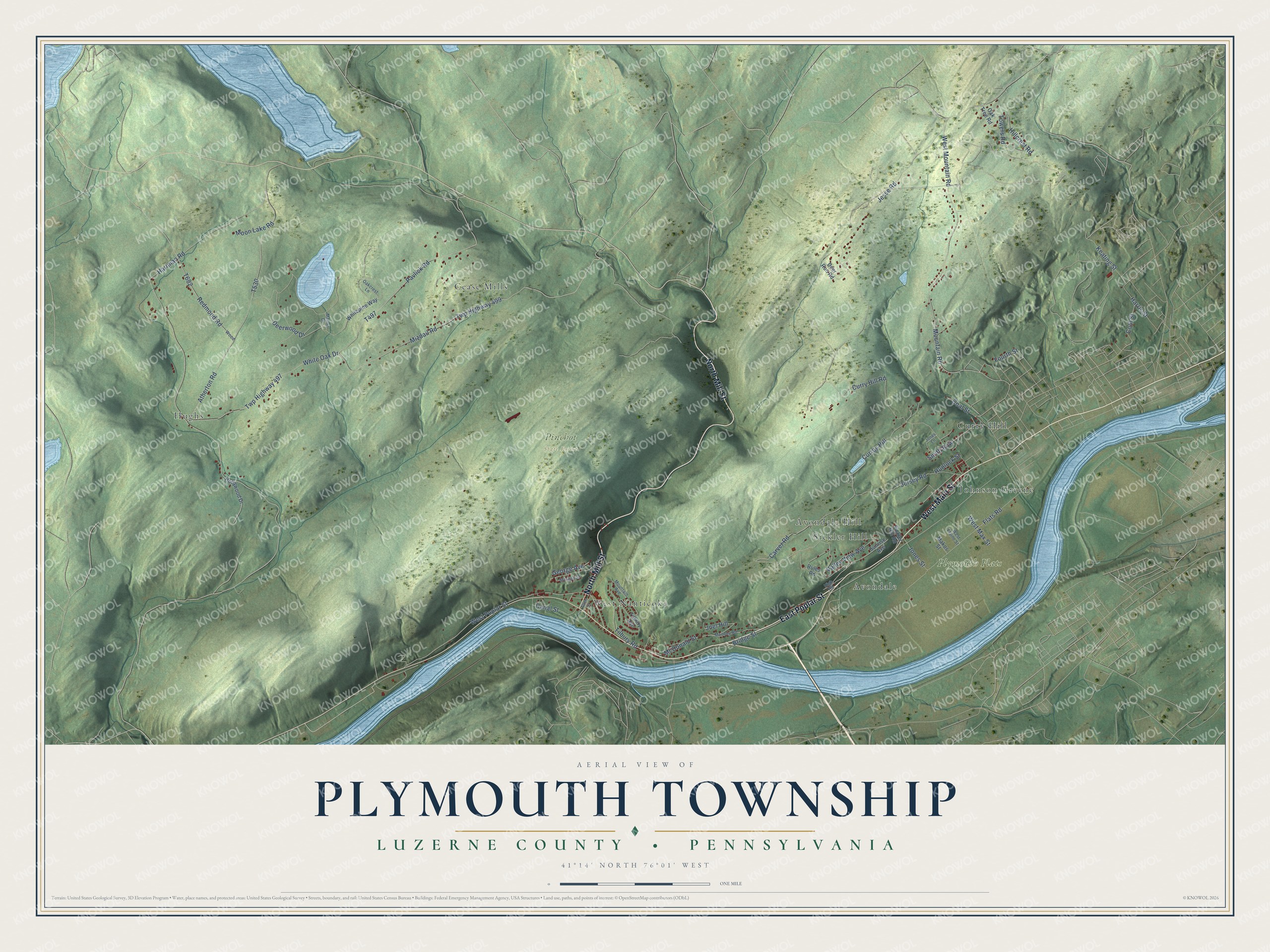
Street and place names on the Plymouth Township, Luzerne County, Pennsylvania map
These names are printed on the map of Plymouth Township, Luzerne County, Pennsylvania.
Places: Pinchot State Forest, Plymouth Flats, Hughs, West Nanticoke, Curry Hill, Cease Mills, Avondale, Johnson Greene, Sickler Hill and Avondale Hill.
Streets and roads: East Poplar Street, North Mill Street, West Main Street, Hartman Road, Deerwood Drive, Pavlick Road, Jesse Road, Mountain Road, West Mountain Road, Mizdail Road, Atherton Road, Twp Highway 499.
More street names, A to Z
Allen Street, Bridge Street, Canal Street, Carver Road, Coal Street, Cool Street, Currey Hill, Curry Hill Road, Deer Run Road, Flats Road, Fourth Street, George Avenue, Harris Street, High Road, Hillcrest Road, Hollywood Drive, Hunlock Street, Jersey Road, Joel Hill, Jones Lane, Jones Street, Keating Street, Makos Street, Marina Drive, McDonald Street, Mooney Road, Moon Lake Road, Morgan Street, Mountain Avenue, Oakcrest Lane, Oak Tree Road, Redmond Road, Rules Road, Sickler Hill Road, Smith Row, Sunrise Avenue, Tilbury Avenue, Tilbury Road, Towers Road, Twp Highway 497, Valley View Avenue, West Elaine Street, West Max Street, West Poplar Street, White Oak Drive, Whitepine Way, Wood.
See the Plymouth Township, Luzerne County, Pennsylvania map on a wall
The Plymouth Township, Luzerne County map as an 18 x 24 inch print in a black frame.

This beautifully detailed map of Plymouth Township, Luzerne County makes an attractive addition to your office, library, or den, and it can even be used to teach children the geography and history of the area. It also makes a great gift for anyone with Plymouth Township roots. When you’re done exploring, click here to get your copy of the Plymouth Township, Luzerne County map.