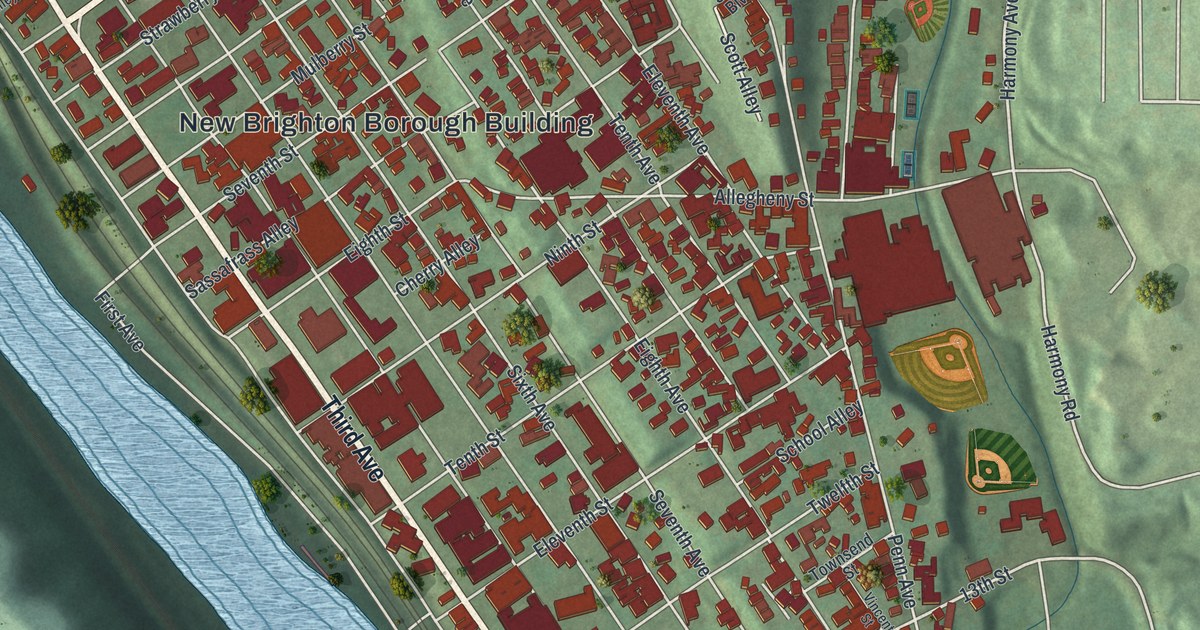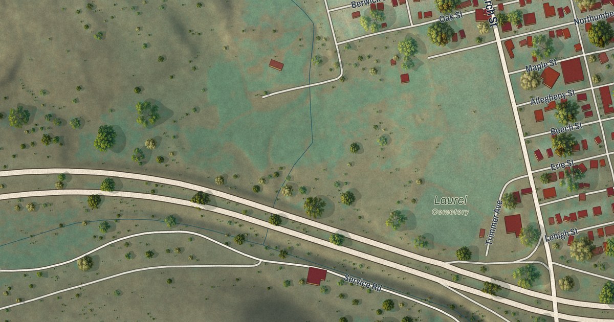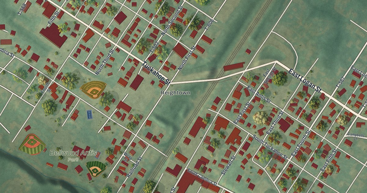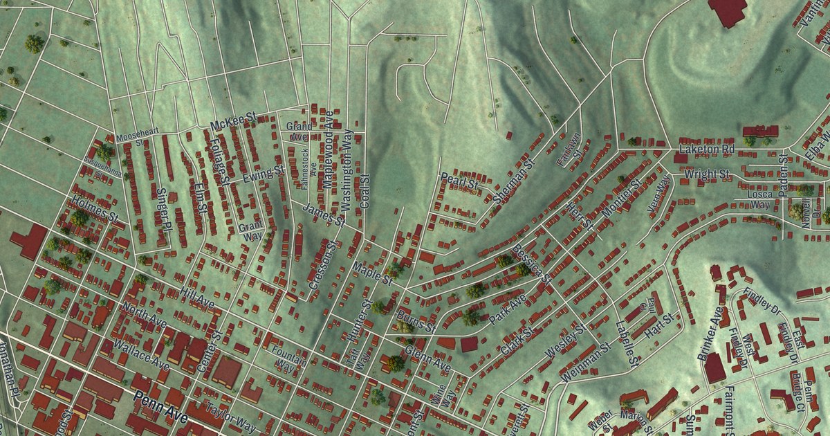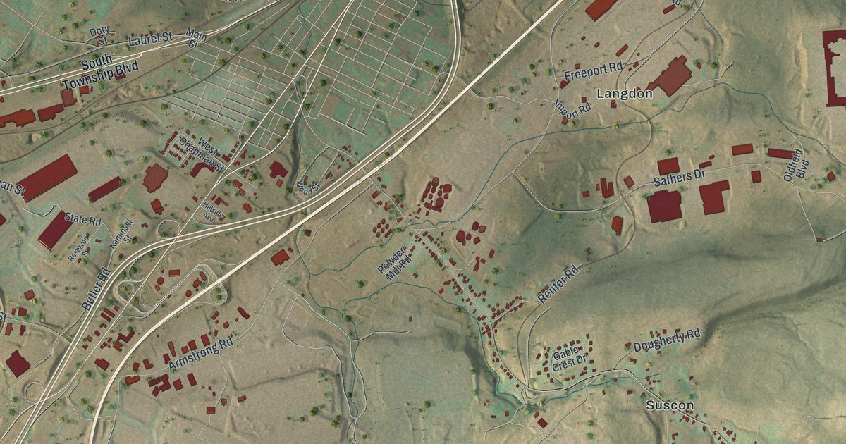
If you grew up in Pittston Township, look for your old neighborhood here. This modern aerial view of Pittston Township in Luzerne County, Pennsylvania pairs modern data with a vintage feel. Red buildings cluster near Browntown, while green ridges fill much of the sheet. Suscon and Glendale are printed among the hills and roads.
Pittston Township's coal and hills
On this map you'll find South Township Boulevard, Suscon Road, Glendale Road, Main Street, Market Street, Oak Street, Chapel Road, Browntown, Cork Lane, Suscon, Glendale, Langdon, Houston City, and more. Each red shape is a building, so zoom in on the preview and look for yours.
The 1893 History of Luzerne County says coal became the township's largest source of wealth. It also records good farmland in the small valleys and on hillsides. Coal and farming shared this rugged ground. Look at the folds in the land around the printed Suscon name. The modern view gives you a sense of the hills and valleys that shaped work here.
Keep Browntown and Suscon close
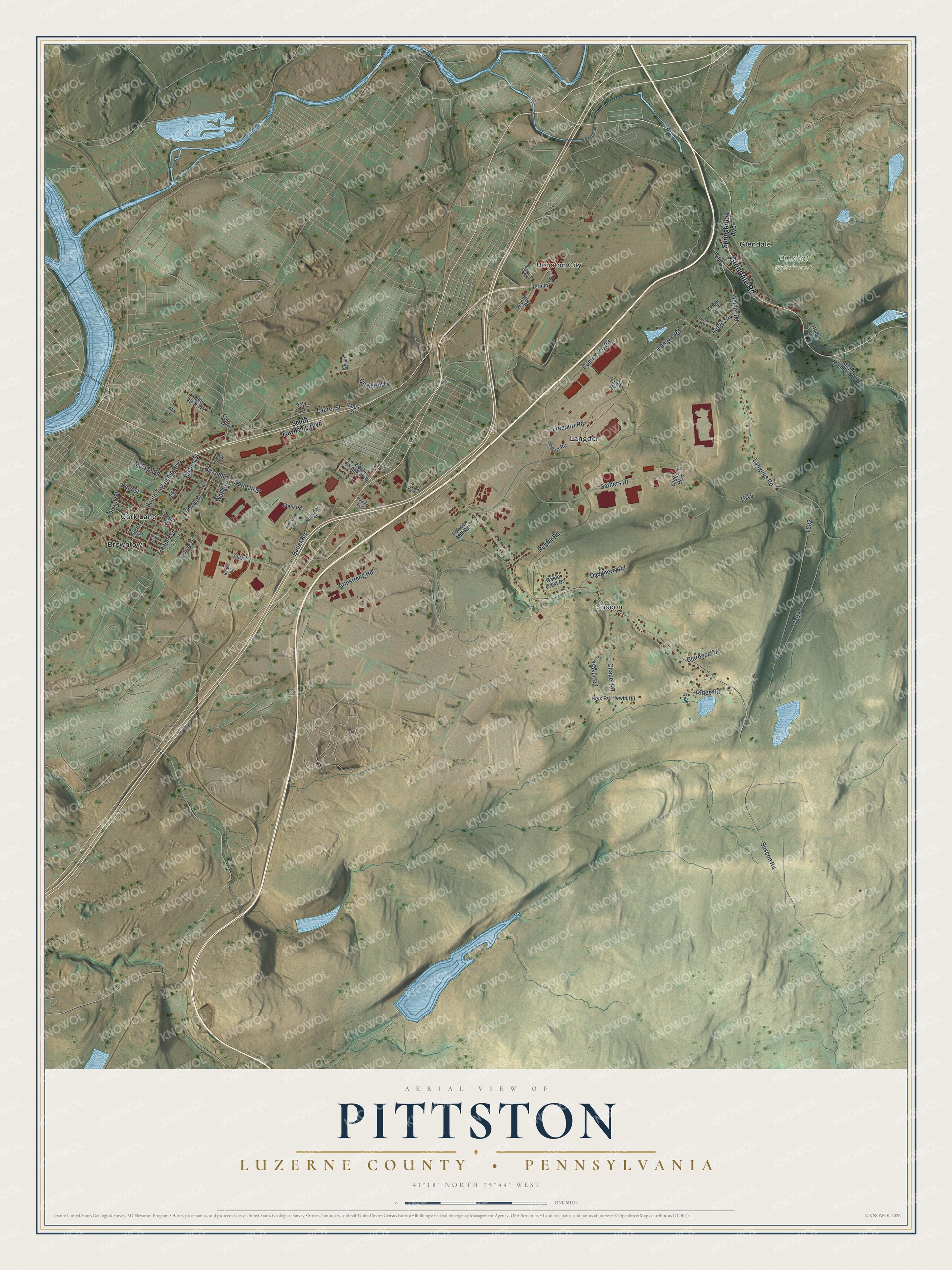
Created by KNOWOL in 2026, the print has muted green hills, pale roads, blue water and red building shapes. A cream border surrounds the view. The title panel reads AERIAL VIEW OF PITTSTON, with LUZERNE COUNTY and PENNSYLVANIA below. It gives the coordinates as 41°18' NORTH 75°44' WEST.
It's suited to a living room, office or entryway. It makes a warm gift for someone who grew up in Browntown and moved away. Open the preview to explore the streets and find a familiar block. See sizes and frames for the Pittston, Luzerne County map.