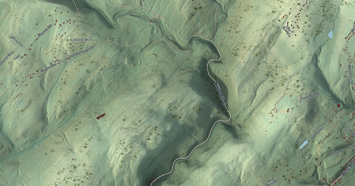
If you grew up in West Nanticoke, have family on Avondale Hill, or know the stretch of West Main Street along the river, this map has your part of the valley. It's an aerial view of Plymouth Township in Luzerne County, Pennsylvania, drawn from modern data with a vintage look. Green hills fill most of the sheet, with Pinchot State Forest printed near the middle. A wide blue river bends across the bottom, and red buildings gather along it at West Nanticoke and Avondale.
West Nanticoke, Avondale and Plymouth Flats
On this map you'll find West Main Street, East Poplar Street, Bridge Street, Flats Road, Canal Street, Tilbury Road, Mountain Road, Hartman Road, West Nanticoke, Avondale, Avondale Hill, Plymouth Flats, Curry Hill, Cease Mills, Pinchot State Forest, and more. Each red shape is a building, so zoom in on the preview and look for yours.
The Avondale mine fire of September 6, 1869
The name Avondale carries the township's hardest story. On September 6, 1869, a fire broke out at the Avondale Colliery and trapped the miners underground. In the end 110 people died. Five of them were boys between twelve and seventeen years old. Two were volunteers who went in to help and suffocated. The state historical marker on West Main Street says Pennsylvania's General Assembly passed a law in 1870 meant to make mining safer. On the map, Avondale and Avondale Hill are printed a short way up from the river, near Rules Road and Valley View Avenue.
Cease Mills, Atherton Road and Tilbury Road
Cease Mills, printed near the middle of the sheet, shares its name with an early settler. The 1893 county history says Henry Cease, George Sorber and Jacob Sorber moved into the woods here in 1827 and started clearing land. Then they all sold out and moved farther into the woods. The same book lists Caleb Atherton among the settlers who arrived soon after 1773, and Abraham Tilbury on the tax list of 1796. Atherton Road and Tilbury Road on the map share those names. The township itself dates to December 28, 1768, when the Susquehanna Company laid out five townships, each five miles square.
For someone from West Nanticoke or Avondale Hill
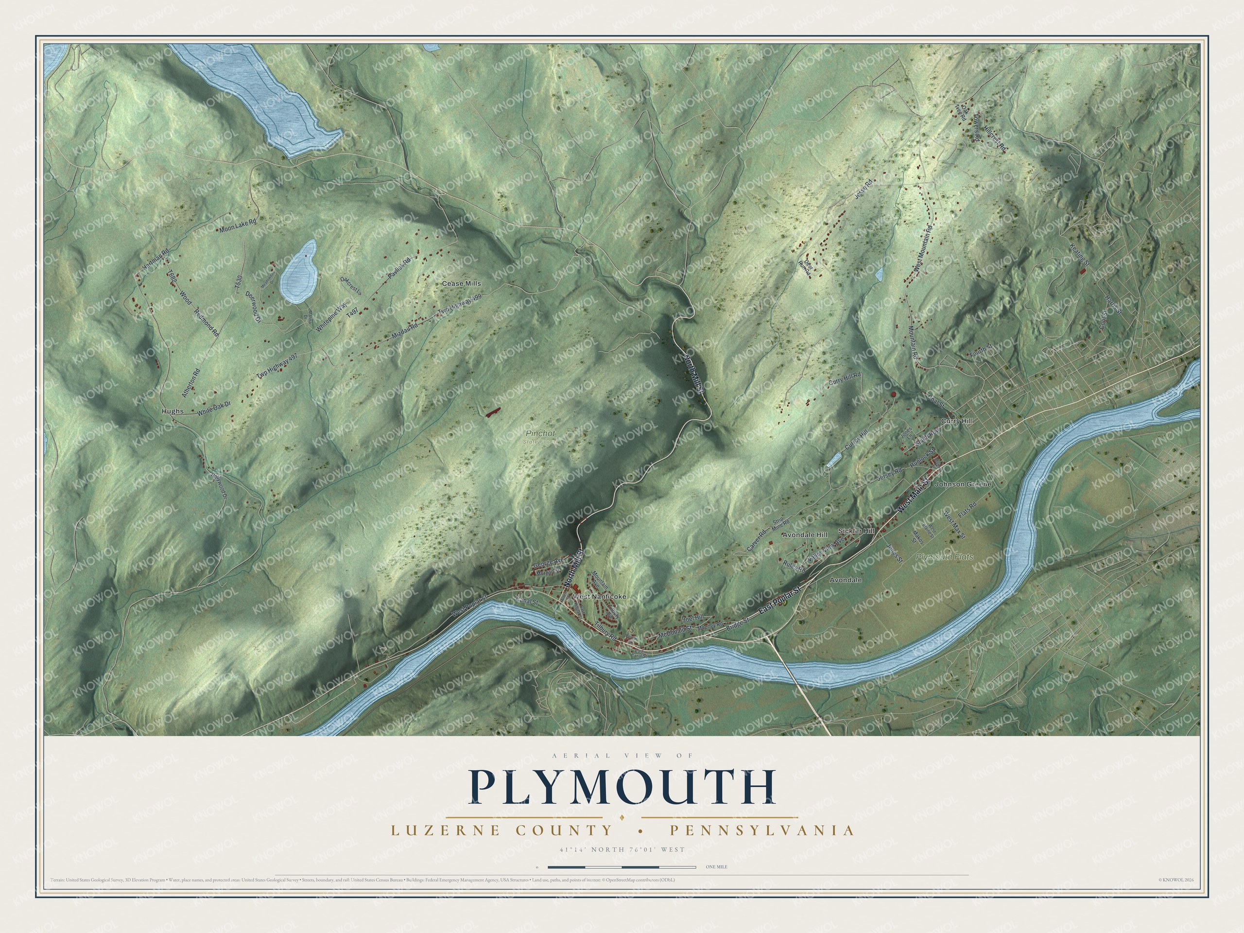
Created by KNOWOL in 2026, this map of Plymouth Township shades the hills in green from USGS elevation data. A lake sits in the top left corner of the sheet. The title panel reads "Aerial View of Plymouth" above "Luzerne County • Pennsylvania," with the coordinates 41°14' North, 76°01' West and a one-mile scale bar.
It suits a den, a kitchen or an office wall. It's a good gift for someone who grew up in West Nanticoke, for a family with roots on Avondale Hill, or for anyone who moved away from the valley. Open the preview, find West Main Street, and look for the block you know. See sizes and frames for the Plymouth, Luzerne County map.