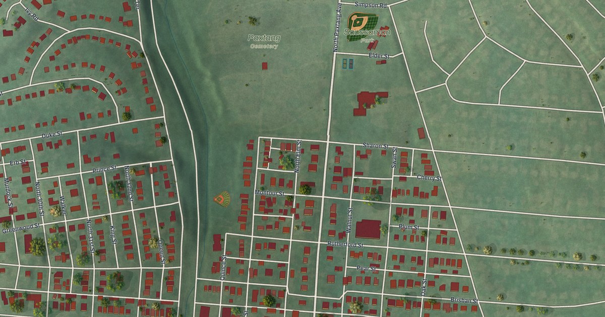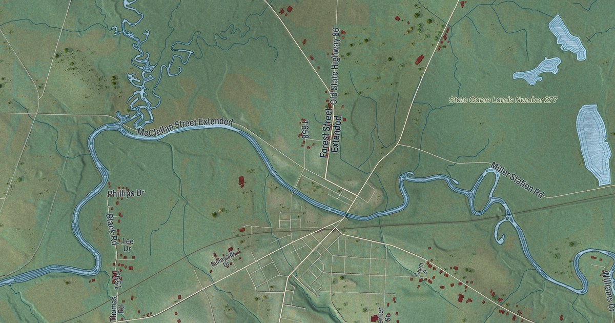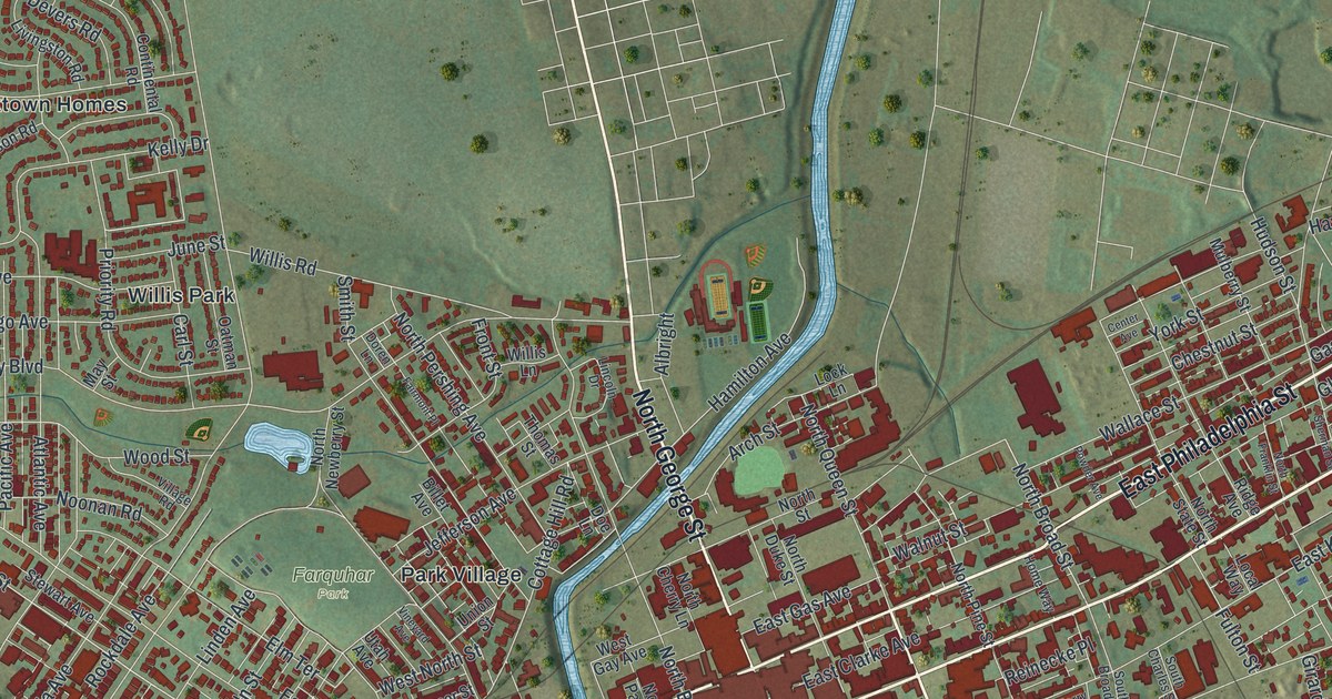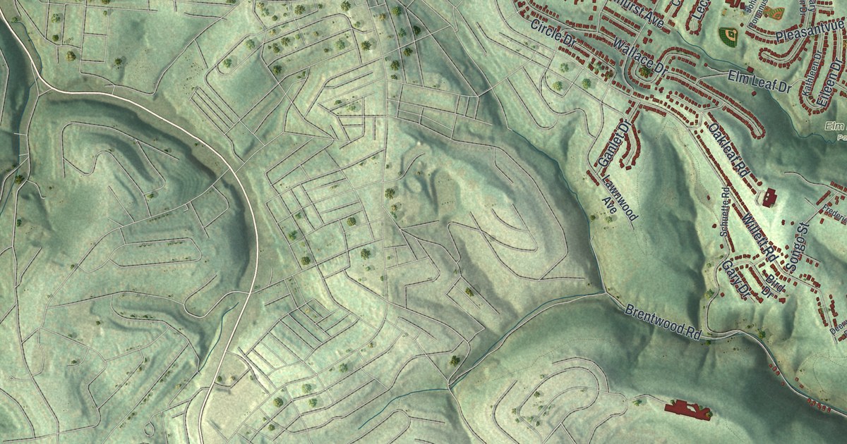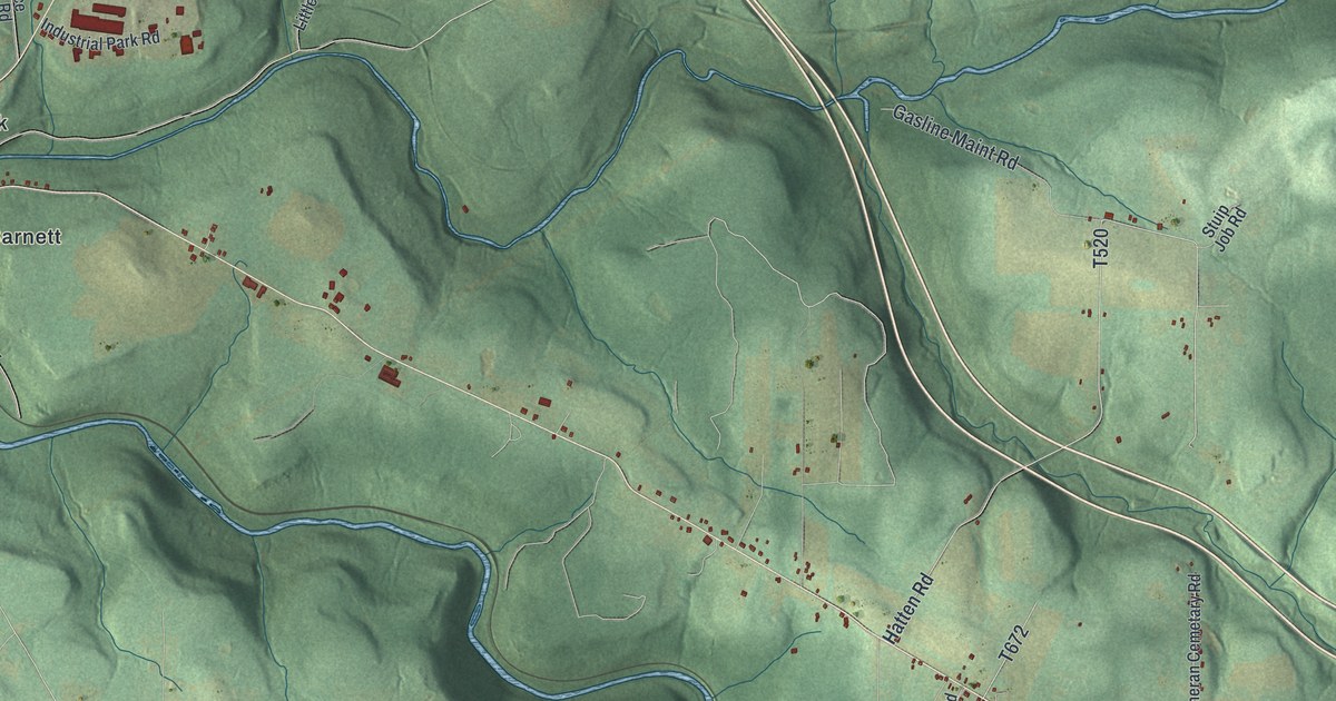
If you grew up in Pine Creek, you'll find familiar names across this print. It's a modern aerial view of Pine Creek in Jefferson County, Pennsylvania, built from modern data with a vintage feel. Green hills rise between blue streams. Small red buildings dot the roads around Port Barnett, Emerickville, and Pinecreek.
Pine Creek was the county's first township
On this map you'll find Port Barnett, Emerickville, Pinecreek, Fuller, Meredith, Iowa, Iowa Road, Fuller Road, Knox Dale Road, Davis Road, Apple Orchard Road, and more. Each red shape is a building, so zoom in on the preview and look for yours.
Pine Creek once had a much larger role in county life. The 1888 History of Jefferson County says the township was formed in 1806. It was the county's first township, before others were split from it. The same account describes deep valleys and rugged hills. It places the meeting of Mill Creek and Sandy Lick at Port Barnett. Look for that printed name beside the blue stream bends on this map. The shaded slopes help show the steep land described in that early account.
Keep Pine Creek close to home

Created by KNOWOL in 2026, this print pairs soft green hills with blue streams and red buildings. A cream border surrounds the view. The title panel reads AERIAL VIEW OF, PINE CREEK, and JEFFERSON COUNTY • PENNSYLVANIA. Beneath it are the coordinates 41°09' NORTH 79°00' WEST.
Hang it in a living room, office, or entryway. It's a thoughtful gift for someone with family in Emerickville or a childhood home in Port Barnett. Open the preview and take a closer look at the places you know. See sizes and frames for the Pine Creek, Jefferson County map.