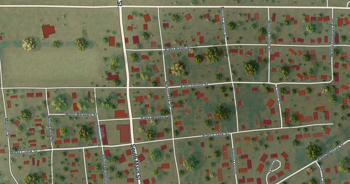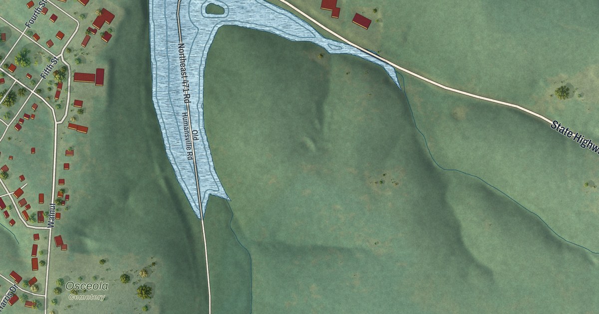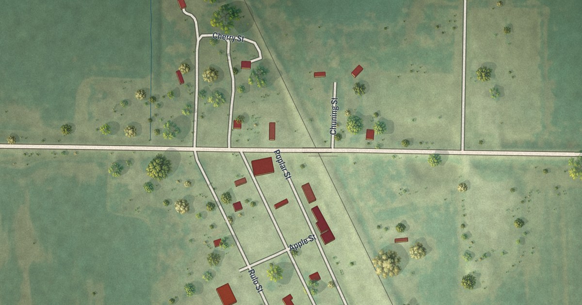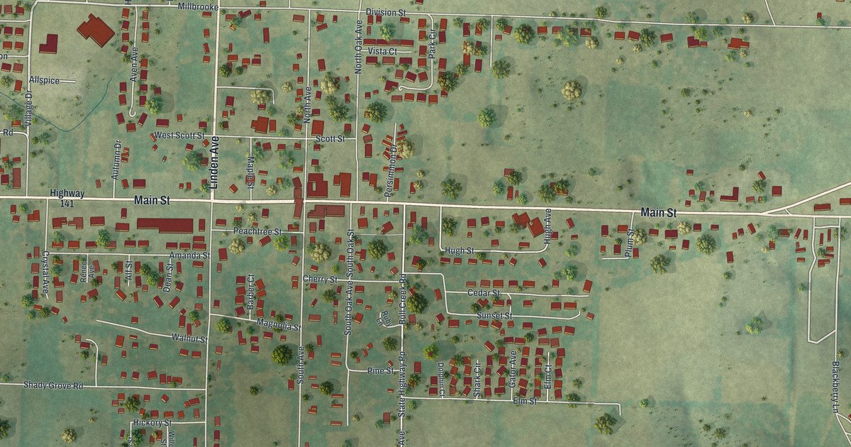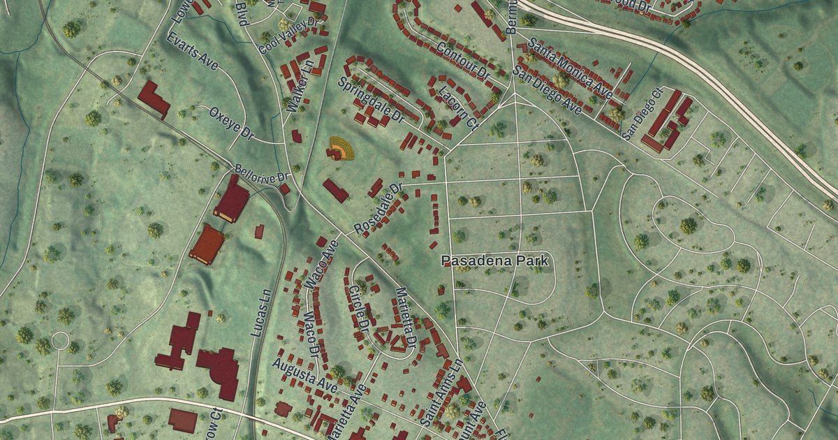
If you grew up off Natural Bridge Road or still have family in Normandy, this map was made with you in mind. It's an aerial view of Normandy with a vintage feel and modern data behind it, in St. Louis County, Missouri. Soft green hills roll across the whole sheet. A wide road curves across the top half. Small red shapes mark the homes and buildings, from Berdell Hills in the north to Glen Echo Park and Beverly Hills along Natural Bridge Road.
How Normandy got its name
On this map you'll find Natural Bridge Road, Lucas & Hunt Road, Florissant Road, University Boulevard, Pasadena Boulevard, Normandy Place, Glen Echo Country Club, Saint Vincent County Park, Saint Peter's Cemetery, Pasadena Park, Glen Echo Park, Beverly Hills, Norwood Court, Berdell Hills, and more. Each red shape is a building, so zoom in on the preview and look for yours.
Normandy's name likely comes from across the ocean. The State Historical Society of Missouri keeps an old file of place names. Its entry says the place was evidently named for Normandy, France. The name is still easy to spot on the map. Look for Normandy Place and Normandy Trace Drive. The title at the bottom spells it out in tall letters, too.
The Wilson Price Hunt House on Natural Bridge Road
One home here is on the National Register of Historic Places. It's the Wilson Price Hunt House, at 7717 Natural Bridge Road. It was listed in September 1980. Two years later, St. Vincent's Hospital in Normandy was listed as well. Natural Bridge Road is printed along the main road through the middle of the map, so the house's road is easy to find.
Normandy from Berdell Hills to Velda Village
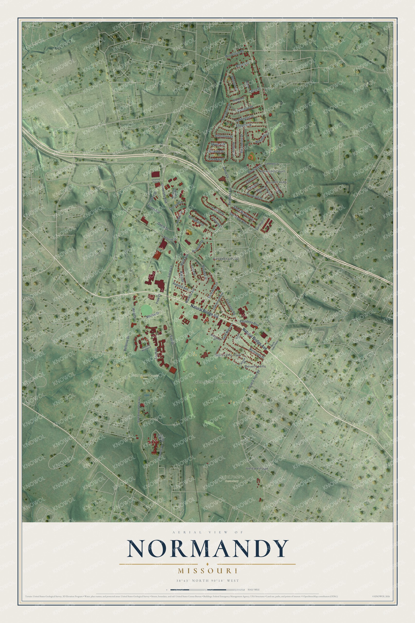
Created by KNOWOL in 2026, the print shows Normandy's rolling green ground in soft shading, with thin white roads and red buildings on top. The title panel reads AERIAL VIEW OF NORMANDY, MISSOURI, with the coordinates 38°43' NORTH 90°18' WEST.
It suits a living room, a hallway or a home office. It's a kind gift for someone who grew up in Glen Echo Park or near Saint Vincent County Park and later moved away. Open the preview and find your street. See sizes and frames for the Normandy map.