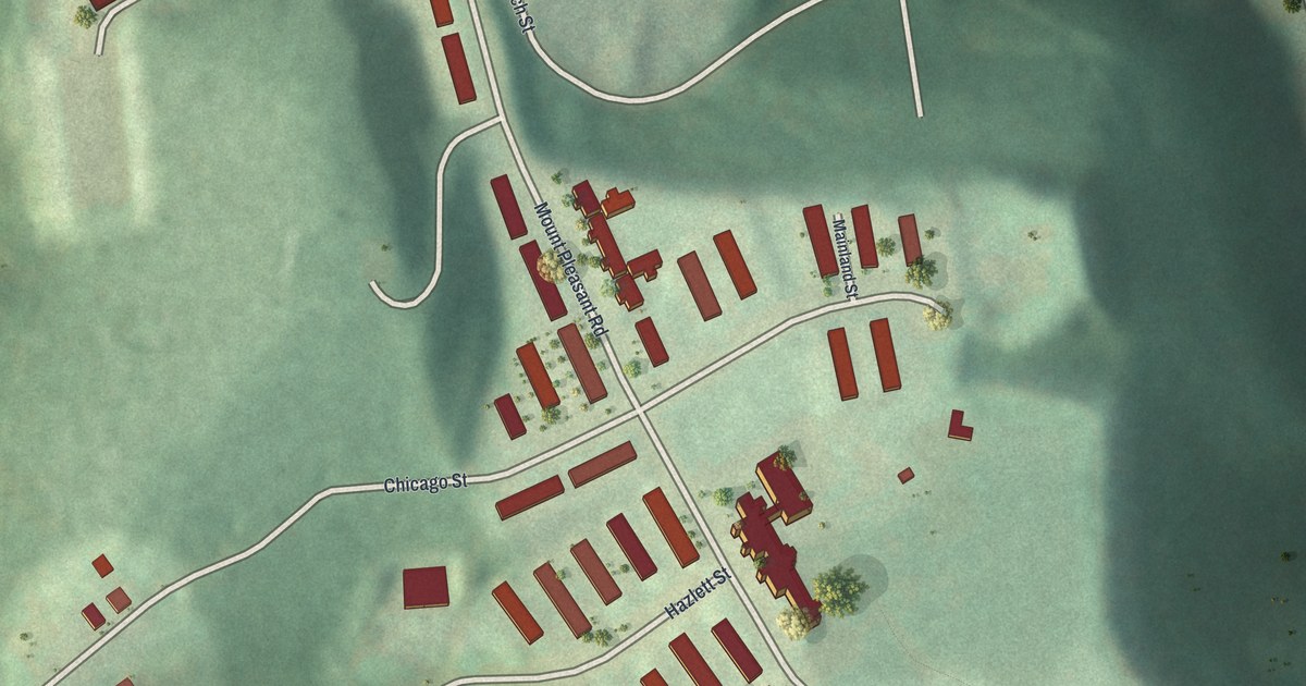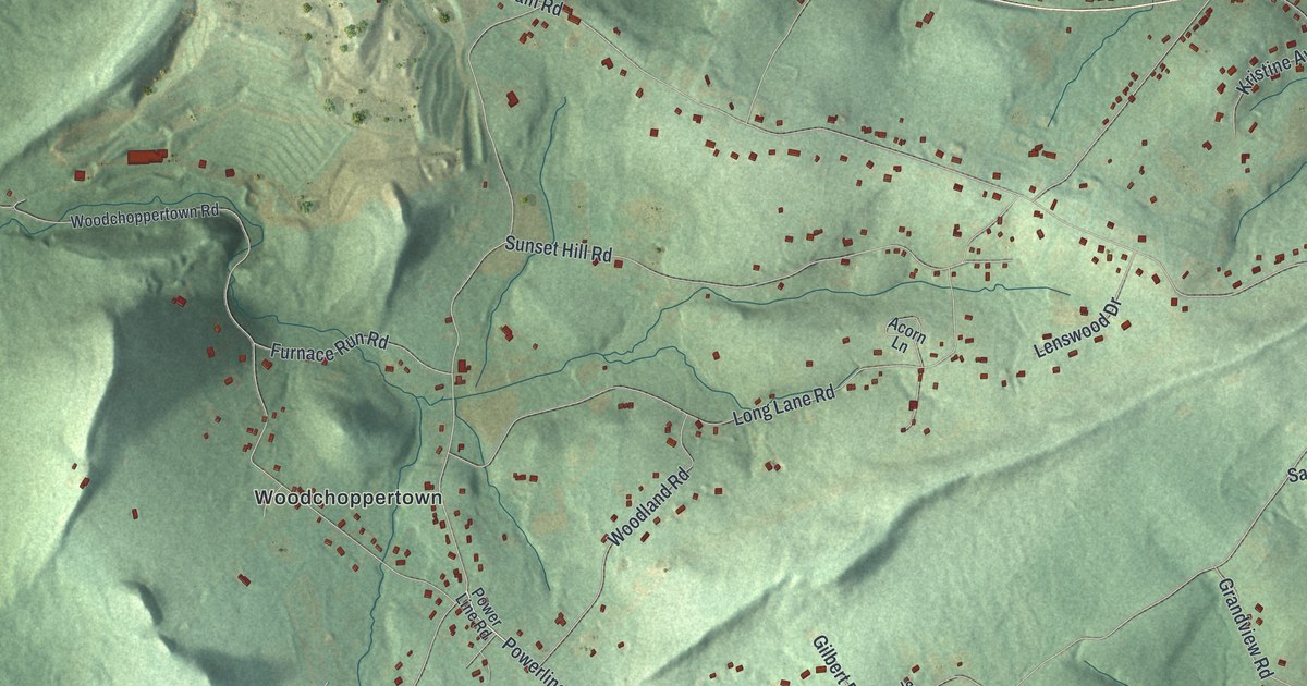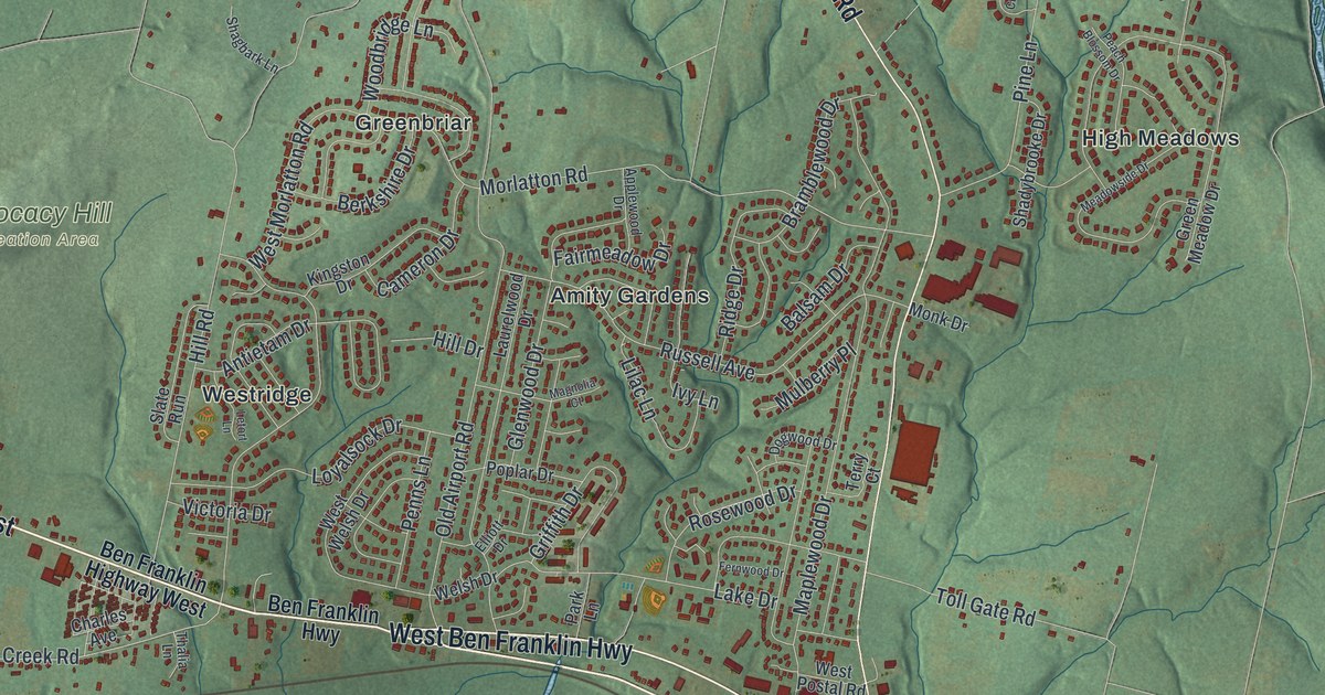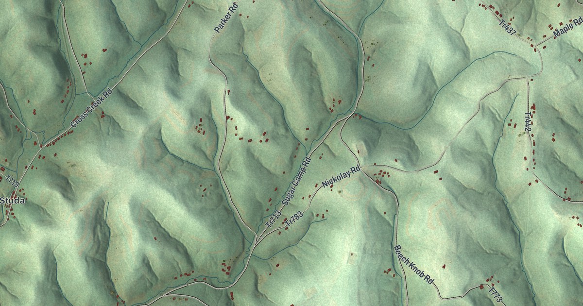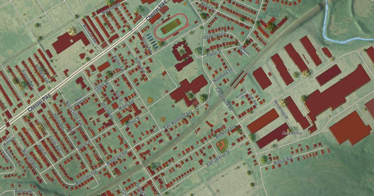
If you grew up in Sharon Hill, or you still have family a few blocks off Chester Pike, this map puts your part of town on the wall. It's a modern aerial view of Sharon Hill in Delaware County, Pennsylvania, made from modern data and given a vintage look. Chester Pike runs across the upper left, a rail line cuts through the middle, and a blue creek winds down the right side. Homes and larger buildings sit in red on soft green ground.
The Story of Sharon Hill Academy
On this map you'll find Chester Pike, Academy, Academy Terrace, Sharon Avenue, East Woodland Avenue, Woodlawn Avenue, Elmwood Avenue, Calcon Hook Road, Coates Street, Poplar Street, Felton Avenue, Greenwood Road, Bonsall Avenue, School Street, and more. Each red shape is a building, so zoom in on the preview and look for yours.
The 1884 History of Delaware County tells how Sharon Hill got a well-known school. John Jackson was a noted Quaker of Darby. After John married Rachel T. Tyson, a highly educated and accomplished woman, he decided in 1834 to start a boarding school for girls. About 1835 he located it at Sharon Hill, on the Jackson family estate. Word of it spread fast. The book calls it one of the most noted schools for young women in the Middle States. John died in 1855, and Rachel kept the school going until 1858.
Around 1870, a Catholic priest, Rev. C. J. H. Carter, bought the property. The Sisters of the Society of the Holy Child Jesus then ran a girls' school there. In 1871 a new wing made the main building 114 feet long. In 1877 a Gothic chapel went up. It had black walnut woodwork, altars of Italian marble and stained glass windows. Near the middle right of the map, the neighborhood name Academy is printed beside a group of large red buildings.
The Rail Line Through Sharon Hill
The rail line across the map has a story too. The same book says a new line was laid from Gray's Ferry through Darby and Sharon Hill. People called it the Darby Improvement. Ground was broken on November 11, 1870. The first train ran over it early in 1873.
From Chester Pike to Academy Terrace
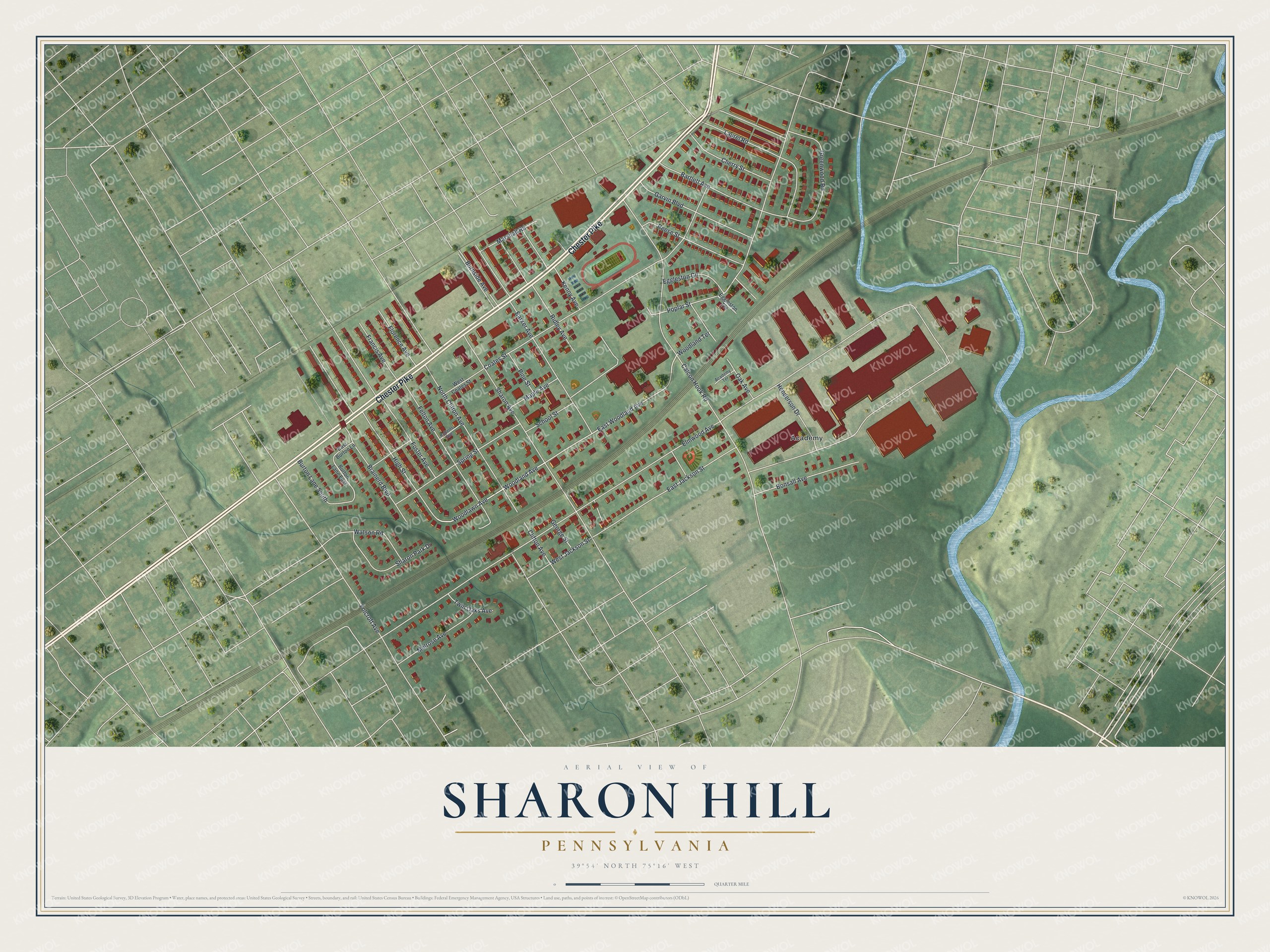
Created by KNOWOL in 2026, this print shows Sharon Hill from above in soft greens, with red buildings, pale roads and a blue creek. The title panel reads "Aerial View of Sharon Hill, Pennsylvania" with the coordinates 39°54' North 75°16' West.
It fits a living room, a front hall or a home office. It makes a good gift for someone who grew up near Chester Pike and moved away, or for a family that has lived on Sharon Avenue for years. Open the preview and find your block. See sizes and frames for the Sharon Hill map.