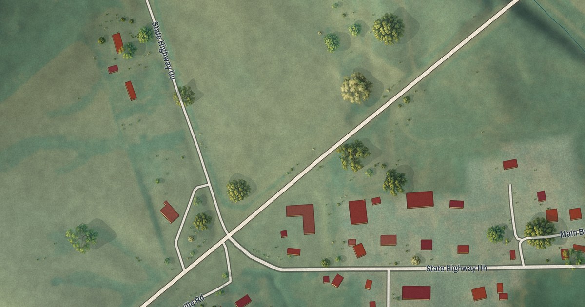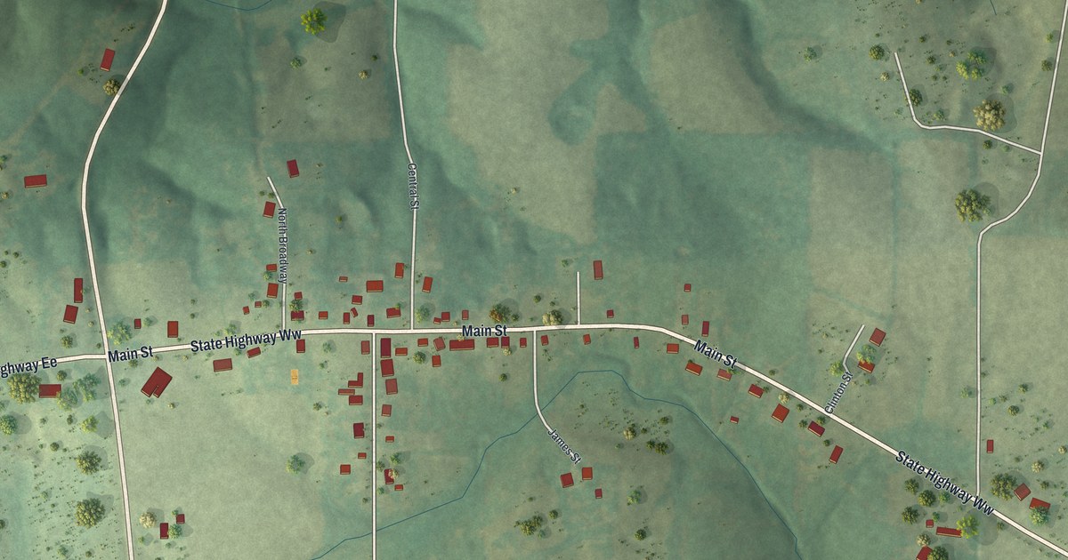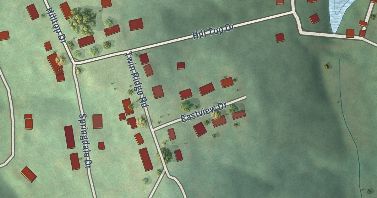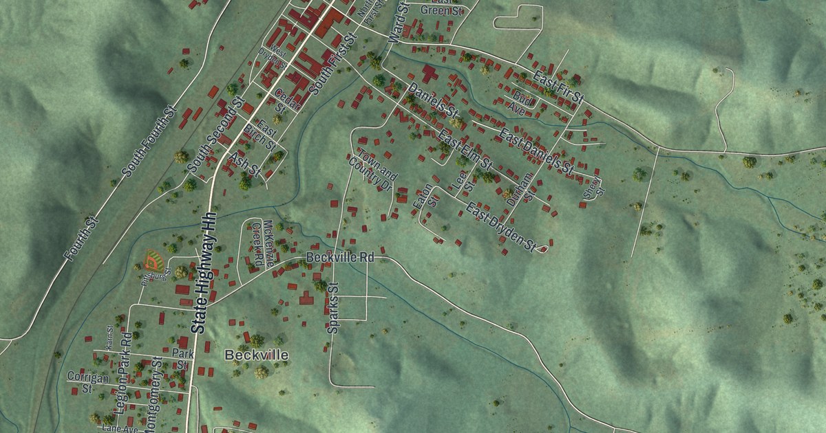
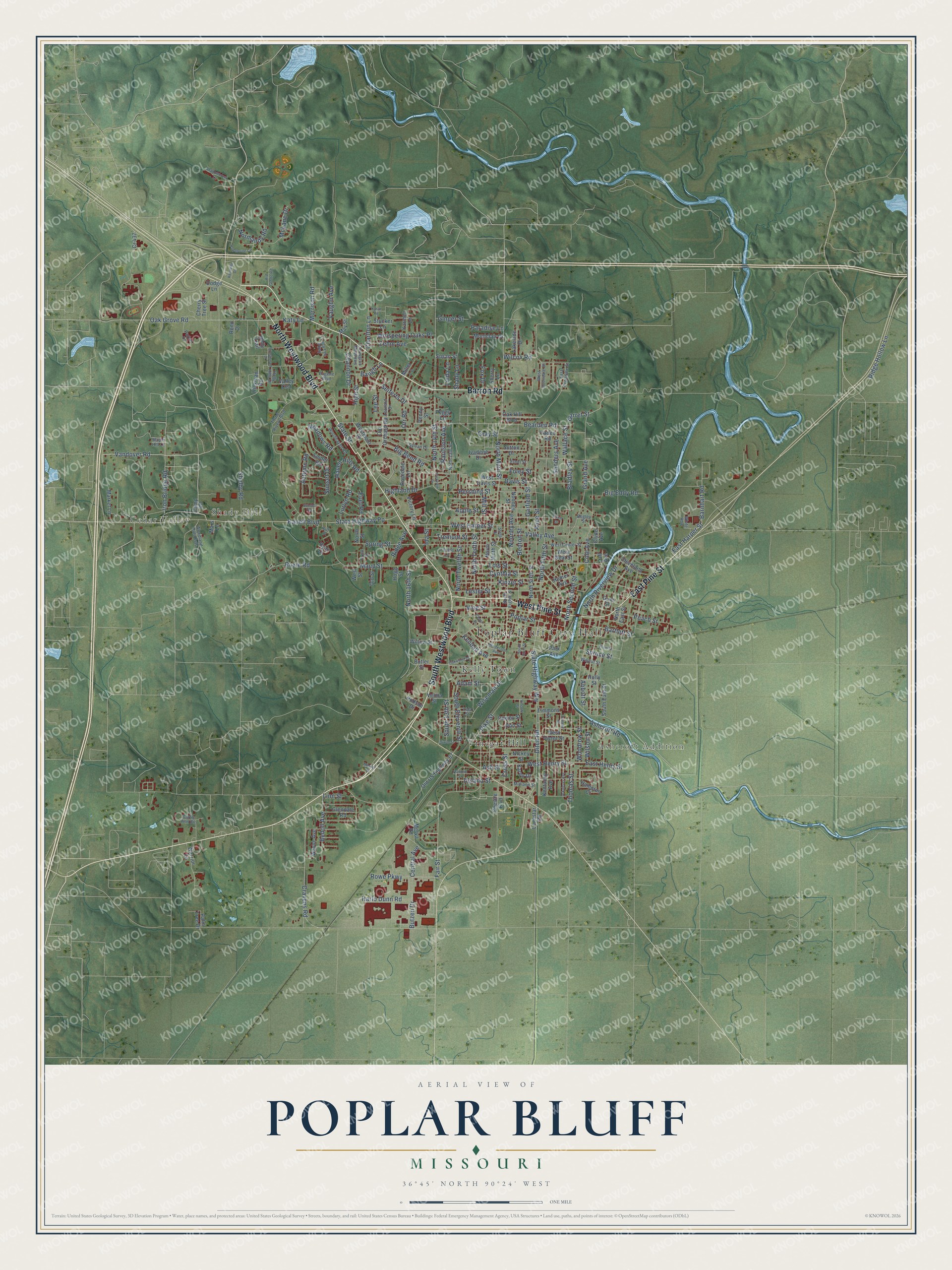
This beautifully detailed map of Poplar Bluff, Missouri was created in 2026 using aerial imagery combined with modern topographical, census, street and landmark data. It’s a one-of-a-kind view of Poplar Bluff that combines accurate data with a vintage aesthetic. The map shows every building in its true location, many of the roads carry their names, and the shaded topographic relief shows the shape of the land.
Explore an aerial view of Poplar Bluff, Missouri
On the map you’ll find Poplar Bluff City Hall, Loma Linda, Cedar Valley, Shady Dell, Ashcroft Addition, Whiteley Park, Woodlawn Cemetery, Kelly Town, and Vinegar Hill, along with South Westwood Boulevard, North Westwood Boulevard, West Pine Street, and more. If you look closely you can even find your house accurately drawn in its correct location. Zoom in on the preview to look for yours.
Did you know this about Poplar Bluff, Missouri?
From the State Historical Society of Missouri: "The commissioners, appointed by the County Court, John Stevens, William Henley, and John F. Martin, selected for the site 160 acres of government land and appointed Obadiah Epps to receive small loans from individuals, with which to pay for the land."
Take a closer look at the Poplar Bluff map
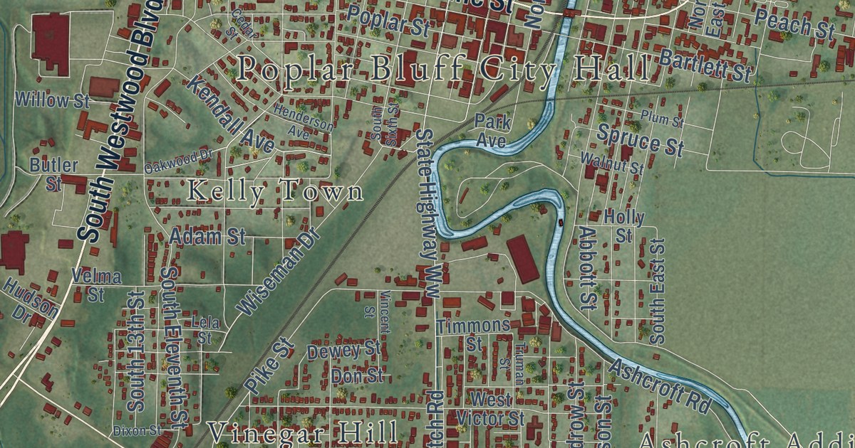
Street and place names on the Poplar Bluff, Missouri map
These names are printed on the map of Poplar Bluff, Missouri.
Places: Poplar Bluff City Hall, Cedar Valley, Shady Dell, Ashcroft Addition, Vinegar Hill and Kelly Town.
Streets and roads: South Westwood Boulevard, Barron Road, North Westwood Boulevard, West Pine Street, East Pine Street, Vandover Road, North Main Street, Iron Bridge Road, Nooney Avenue, Cravens Road, Ditch Road, Apple Street.
More street names, A to Z
Abbott Street, Adam Street, Alice Street, Ard Grotto Road, Arkansas Avenue, Ashcroft Road, Ash Street, Autumn Road, Barnhart Road, Bartlett Street, Baugh Lane, Bearden Road, Bedoll Avenue, Begley Street, Benton Street, Big Bend Road, Big Eddy Road, Bradley Street, Butler Street, Butzen Drive, Camp Road, Carrie Ann Circle, Cedar Street, Central Avenue, Channon Drive, Charlton Lane, Cherry Tree Street, Chesire Boulevard, Cleveland Avenue, Clyde Avenue, Cole Avenue, Covington Meadows, Cr 437, Crestwood Drive, Cross Street, Cynthia Street, Davis Street, Delano Street, Dewey Street, Dixon Street, Dodge Lane, Don Street, East Avondale Street, East Harper Street, East Henry Street, Ethel Street, Euel Road, Eugene Boulevard, Fair Street, Foley Street, Forest Lane, Fox Drive, Franklin Street, Garfield Street, Garret Street, Ginger Street, Glendale Road, Grand Avenue, Gray Street, Gum Street, Hampton Court, Harlo Dunn Road, Haven Hills Road, Hawthorne Circle, Henderson Avenue, Hickman Road, Highland Drive, High Street, Hogg Street, Holly Hills Drive, Holly Street, Holly Trail, Homer Avenue, Hudson Drive, Ida Street, Ivadene Drive, Kanell Boulevard, Karen Drive, Karmen Lane, Katy Lane, Kendall Avenue, Kennedy Drive, Kentucky Avenue, Kinzer Street, Kysar Road, Lakeside Drive, Lee Street, Lela Street, Leonard Drive, Lester Street, Linda Lane, Linn Street, Lois Street, Lonestar Road, Lucy Lee Parkway, Lurlyn Road, Maple Hill Lane, Market Lane, Market Street, Mars Lane, Maud Street, May Street, McLane Drive, Meadows Road, Merva Road, Midland Street, Miller Lane, Mill Street, Montclair Drive, Morrison Road, Nickey Street, Nooney Street, Normandy Road, North 13th Street, North 14th Street, North 16th Street, North East Street, North Eighth Street, North Fifth Street, North Ninth Street, North Riverview Drive, North Second Street, North Sixth Street, North Street, North Tenth Street, North Twelfth Street, Oak Grove Road, Oak Hill Boulevard, Oakwood Drive, Old Orchard Road, Old Street, Old US Highway 67, Orr Road, Palm Tree Drive, Paradise Lane, Park Avenue, Parkin Lane, Parkview Drive, Peach Street, Peggy Lane, Penny Street, Pershing Street, Pike Street, Plum Street, Poplar Street, Price Street, Raulston Avenue, Reno Drive, Ridge Avenue, Ridge Hollow Lane, Rosedale Lane, Rowe Parkway, Roxie Drive, Roxie Road, Ruth Drive, Ryan Drive, Sanders Avenue, Seiferts Drive, Shadowbrook Lane, Shady Lane, Shelby Road, Sherry Lane, Snider Road, South 13th Street, South East Street, South Eleventh Street, South Sixth Street, Spring Street, Spruce Street, State Highway Pp, State Highway Ww, State Street, Stella Street, Stucker Lane, Sunset Drive, Sunset Terrace, Susan Street, Sutton Drive, Sylvan Drive, Taft Avenue, Thomas Street, Three Rivers Boulevard, Timmons Street, Tremont Street, Truman Street, Vaden Road, Valley Avenue, Valley Crst, Vaughn Avenue, Velma Street, Victory Lane, Vincent Street, Vine Street, Wallace Street, Walnut Street, Warrior Lane, Wayne Avenue, West Avondale Street, West Center Street, West Davis Street, West Harper Street, West Henry Street, Westmoor Drive, West Neat Street, West Street, West Victor Street, Whispering Oaks Place, White Row, Wilcox Road, Willow Street, Wilson Street, Wiseman Drive, Woodhaven Road, Woodland Hills Ests, Woodrow Street, Zehm Avenue.
See the Poplar Bluff, Missouri map on a wall
The Poplar Bluff map as an 18 x 24 inch print in a black frame.

This beautifully detailed map of Poplar Bluff makes an attractive addition to your office, library, or den, and it can even be used to teach children the geography and history of the area. It also makes a great gift for someone who left Poplar Bluff and still calls it home. When you’re done exploring, click here to get your copy of the Poplar Bluff map.