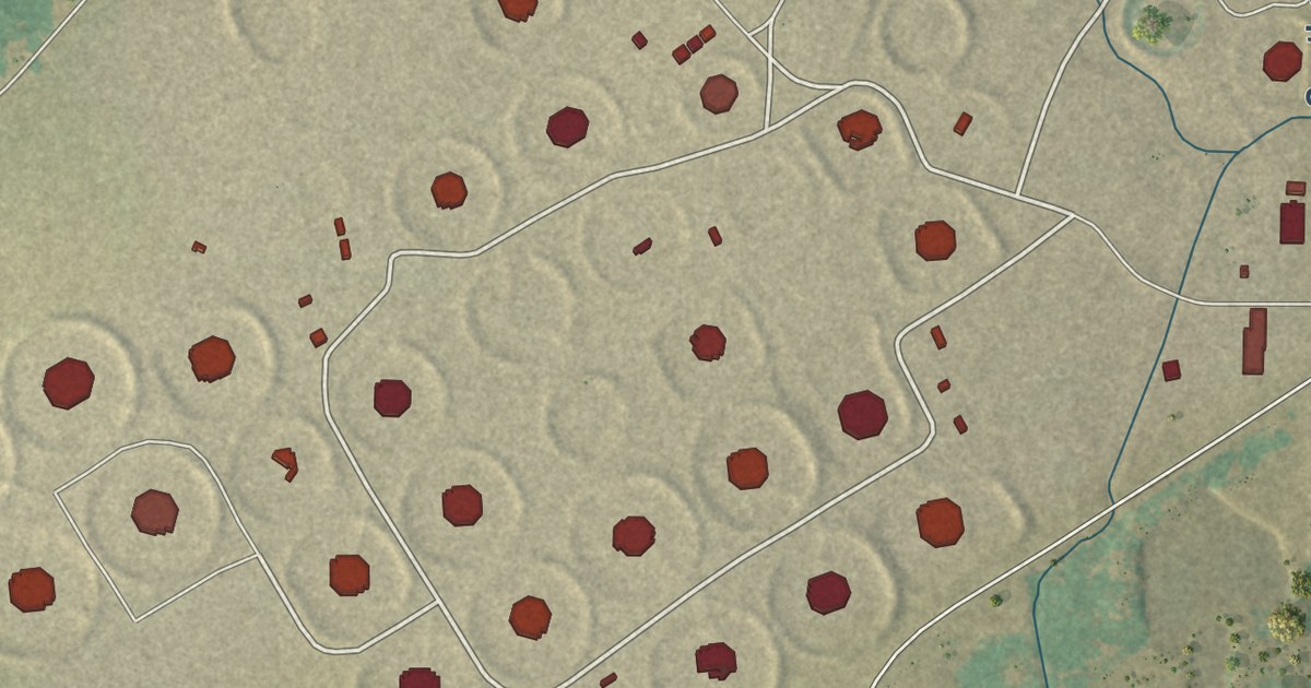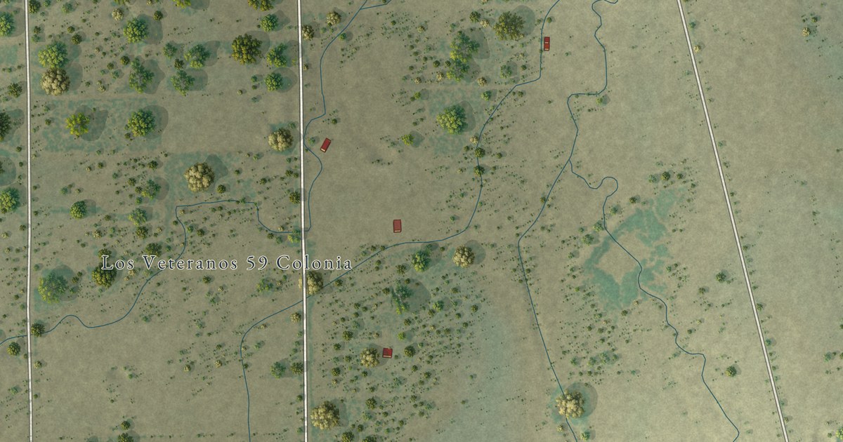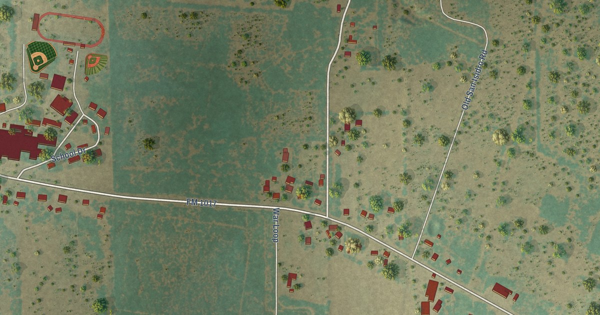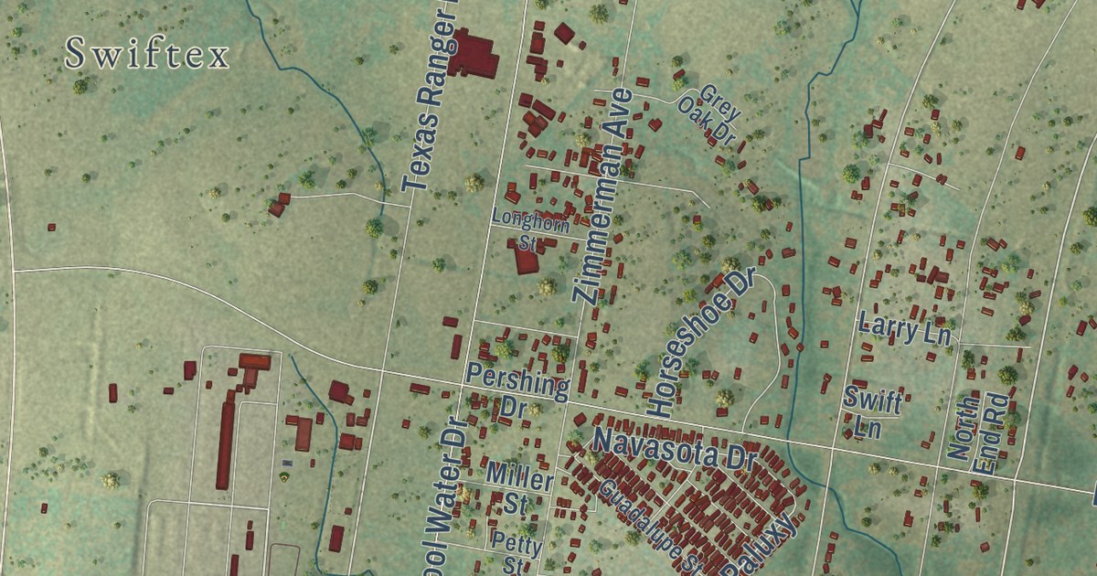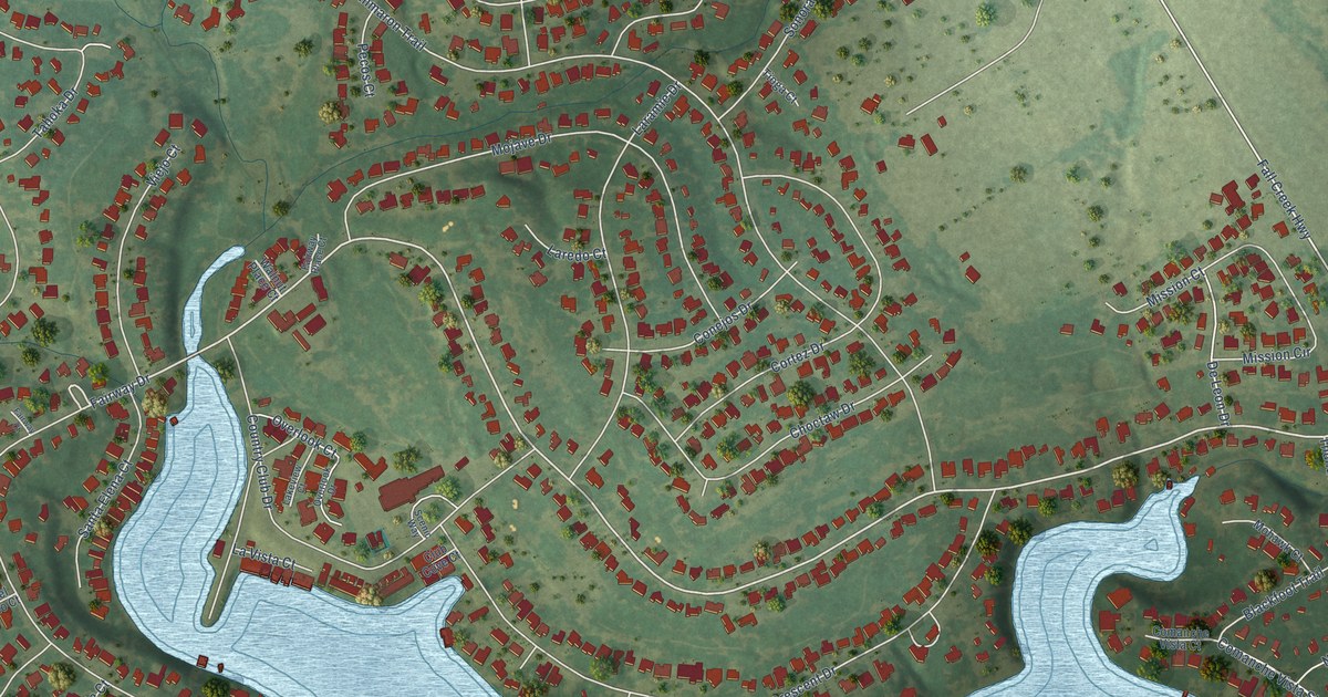
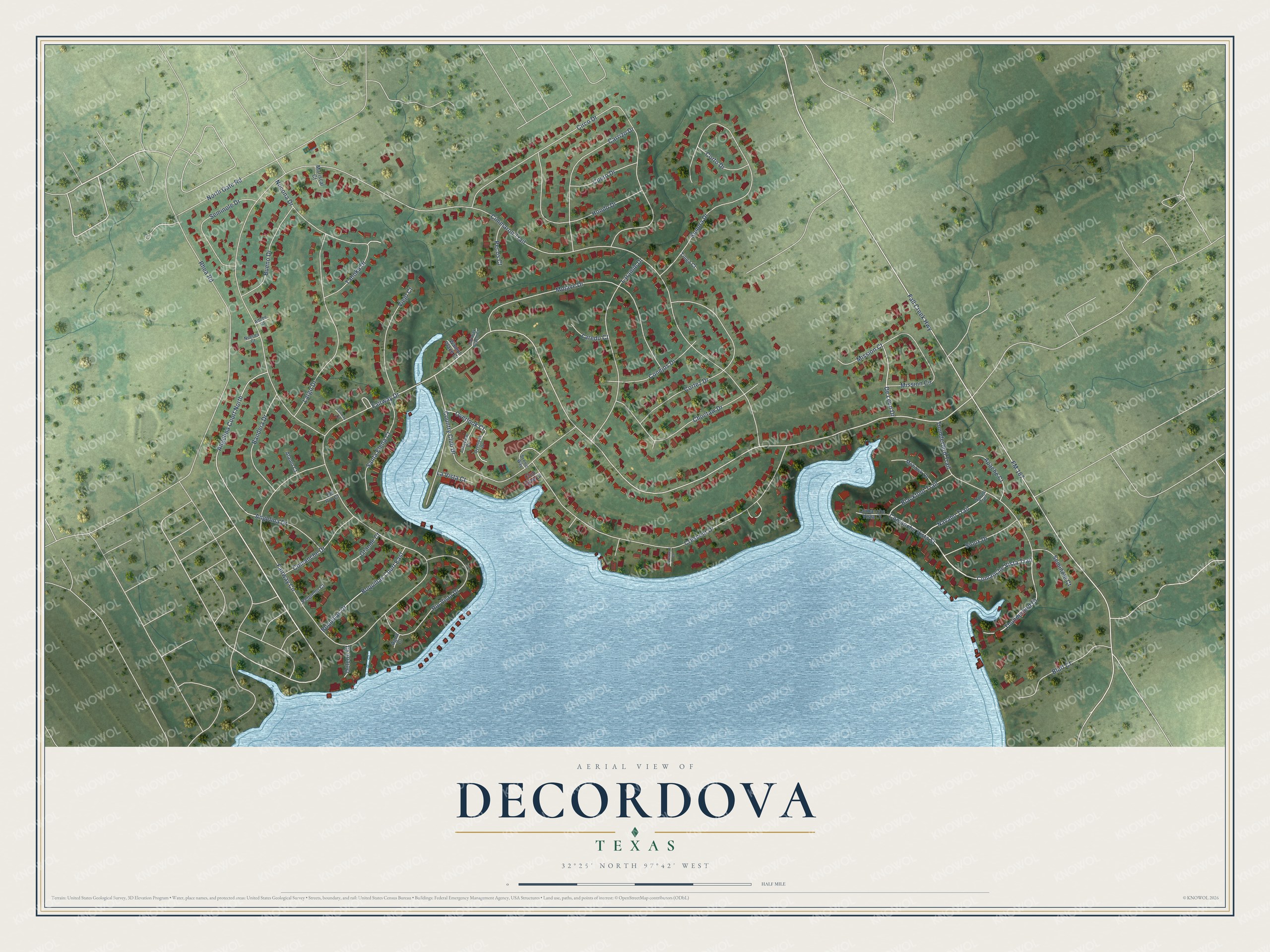
This beautifully detailed map of DeCordova, Texas was created in 2026 using aerial imagery combined with modern topographical, census, street and landmark data. It’s a one-of-a-kind view of DeCordova that combines accurate data with a vintage aesthetic. The map shows every building in its true location, many of the roads carry their names, and the shaded topographic relief shows the shape of the land.
Explore an aerial view of DeCordova, Texas
On the map you’ll find Comanche Vista Street, Comanche Vista Trail, Fall Creek Highway, Thunderbird Court, Fairway Drive, De Leon Drive, Cimmaron Trail, Fairway Circle, FM 167, Circo Drive, Crescent Drive, Sonora Drive, and more. If you look closely you can even find your house accurately drawn in its correct location. Zoom in on the preview to look for yours.
Did you know this piece of DeCordova, Texas history?
From the Handbook of Texas: "The city, situated in the area of what was called the De Cordova Bend of the Brazos River and named for land agent Jacob De Cordova, began in the late 1960s as an 850-acre development in conjunction with the construction of Lake Granbury."
Take a closer look at the DeCordova map
Street names on the DeCordova, Texas map
These names are printed on the map of DeCordova, Texas.
Streets and roads: Comanche Vista Street, Comanche Vista Trail, Fall Creek Highway, Thunderbird Court, Fairway Drive, De Leon Drive, Cimmaron Trail, Fairway Circle, FM 167, Circo Drive, Crescent Drive, Sonora Drive.
More street names, A to Z
Adobe Court, Agua Court, Alamo Court, Angelina Court North, Angelina Drive, Apache Court, Bandera Drive, Blackfoot Trail, Bluff Court, Boquillas Court East, Boquillas Drive, Bueno Drive, Carrizo Drive, Choctaw Drive, Club Cove Court, Comanche Drive, Comanche Vista Court, Conejos Drive, Cortez Drive, Corto Drive, Country Club Drive, Crescent Court, Cuero Drive, Deleon Court, Del Rio Court, Fairway Court, Fairway Place Court, Grande Court, Hondo Drive, Lakeview Court, Laramie Drive, Laredo Court, Largo Drive, La Vista Court, Mariscal Court, Mission Circle, Mission Court, Mohawk Court, Mojave Drive, Navaho Trail, Navajo Trail, Nocona Drive, North Gate Road, Nueces Court, Overlook Court, Overlook Drive, Pecos Court, Pequeno Court, Rhea Road, Rio Vista Drive, Santa Elena Court, Scenic Way, Seminole Court, Seminole Drive, Sioux Drive, Tahoka Drive, Thunderbird Trail, Tioga Court, Viejo Court, Walnut Place Court.
See the DeCordova, Texas map on a wall
The DeCordova map as an 18 x 24 inch print in a black frame.

This beautifully detailed map of DeCordova makes an attractive addition to your office, library, or den, and it can even be used to teach children the geography and history of the area. It also makes a great gift for someone who left DeCordova and still calls it home. When you’re done exploring, click here to get your copy of the DeCordova map.