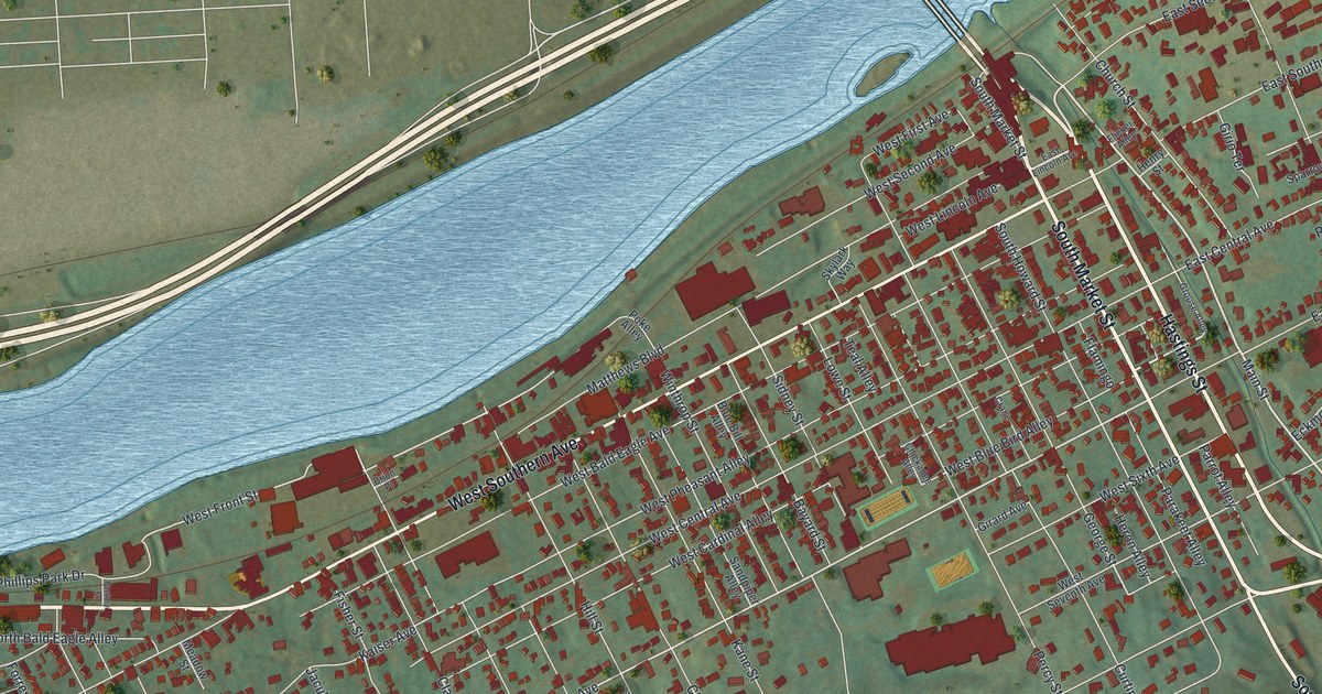
If you grew up on the south side of the river from Williamsport, or still have family near Main Street, this map shows your home ground. It's a new aerial view of South Williamsport in Lycoming County, Pennsylvania, made from modern data and given a vintage look. A wide blue river runs across the top of the sheet, with bridges reaching over to the city side. Below it, rows of red buildings fill the flat land along the bank. Green hills rise along the bottom edge, and ball fields sit on the east side of town.
Main Street, Montgomery Pike and the Bird-Name Alleys
On this map you'll find Main Street, South Market Street, Montgomery Pike, Riverside Drive, Hastings Street, West Southern Avenue, West Mountain Avenue, Sylvan Dell Road, Ballpark Boulevard, Stadium Drive, Champions Drive, Fairmont Avenue, Blue Jay Alley, and more. Each red shape is a building, so zoom in on the preview and look for yours.
Look at the small alleys between the avenues. Many of them carry bird names. There's West Pheasant Alley, West Cardinal Alley, Heron Alley, Wren Alley, Sparrow Alley, Parakeet Alley and Seagull Alley. There's even a Skylark Way. The avenues have a pattern too, with numbers running from West First Avenue to West Ninth Avenue. Out in town, a state marker on Montgomery Pike near Fairmont Avenue stands close to the Little League Museum.
The South Williamsport door plant behind White House doors
Williamsport was once a leading lumber center of the nation. A state historical marker tells how one family turned that wood into fine doors. W. D. Crooks & Sons was founded in South Williamsport, and it ran for 85 years, from 1886 to 1971. The family firm made thousands of wood-veneer doors. Some went to the U.S. Capitol and the White House. Its workers used Pennsylvania hardwoods and woods from far away. In 1898 the plant moved to a new site in Williamsport. By the 1940s, 125 people worked there. That later site is across the river in Williamsport, on what is now the Pennsylvania College of Technology campus.
South Williamsport from Riverside Drive to the hills
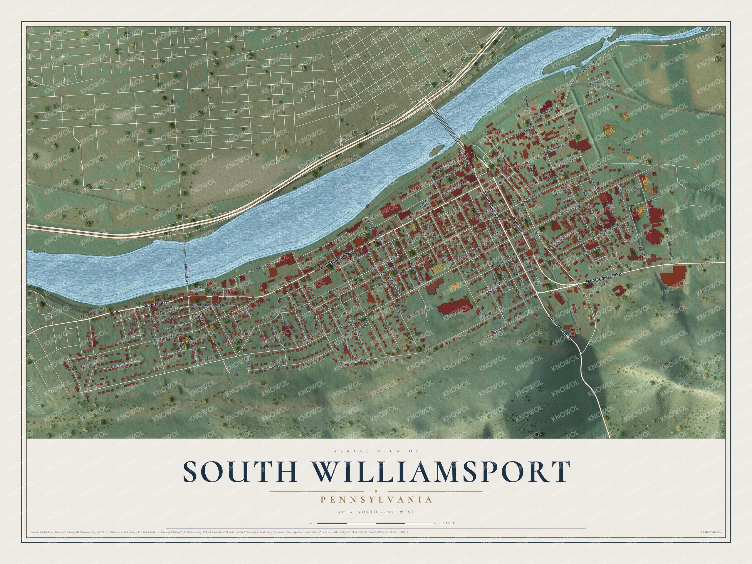
Created by KNOWOL in 2026, this print shows South Williamsport from above in soft greens and river blue, with red buildings, pale roads and shaded hills. The title panel reads "Aerial View of South Williamsport, Pennsylvania" with the coordinates 41°14' North 77°00' West.
It fits a living room, a den, a front hall or an office. It's a good gift for someone who grew up near Main Street or Riverside Drive and moved away, or for a baseball fan who knows the Little League Museum on Montgomery Pike. Open the preview and find your own street. See sizes and frames for the South Williamsport map.