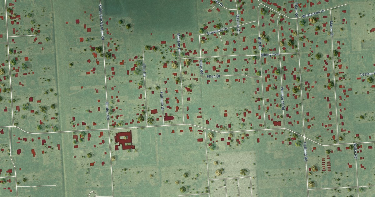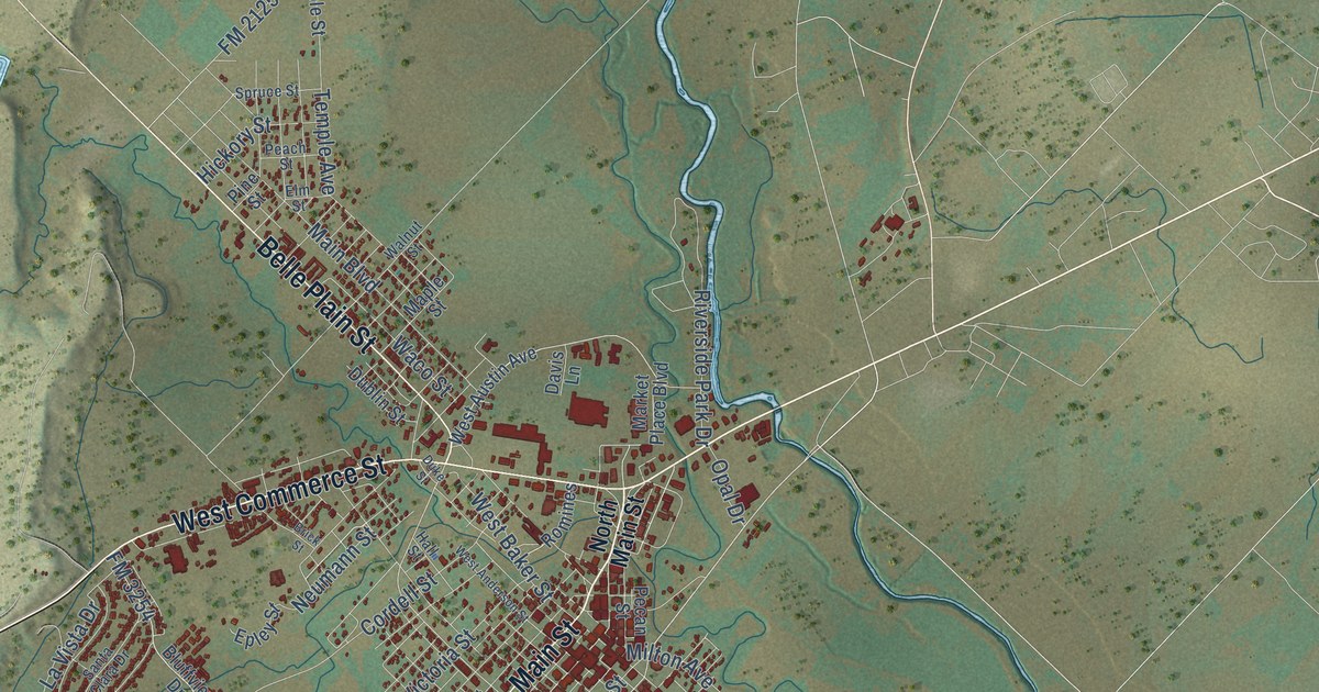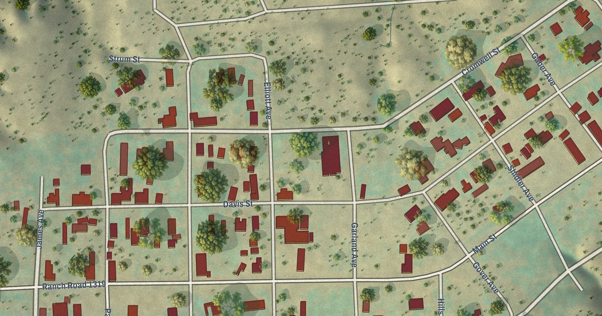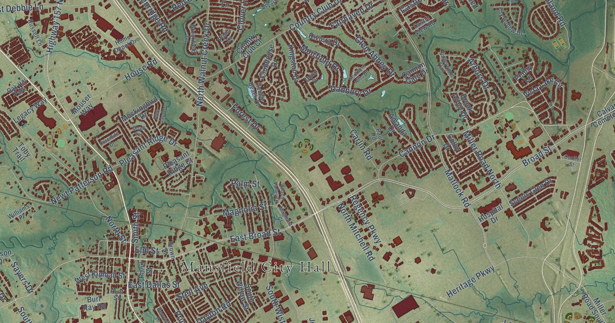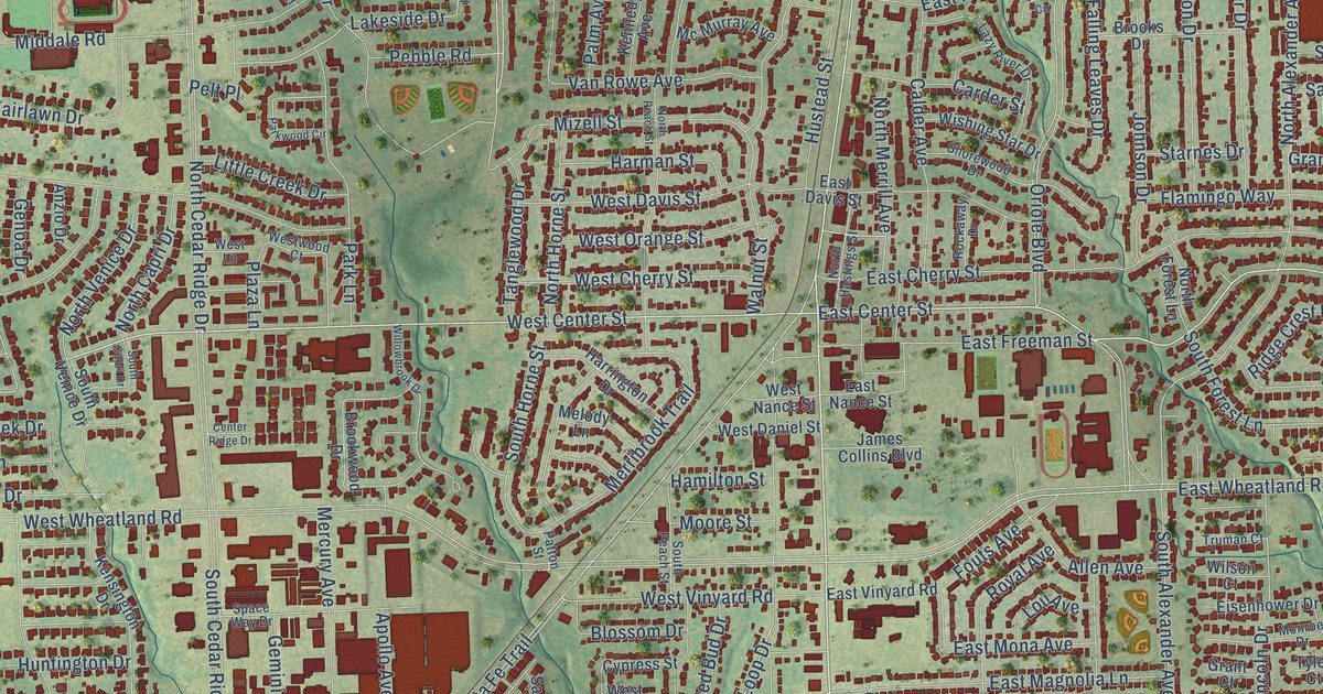
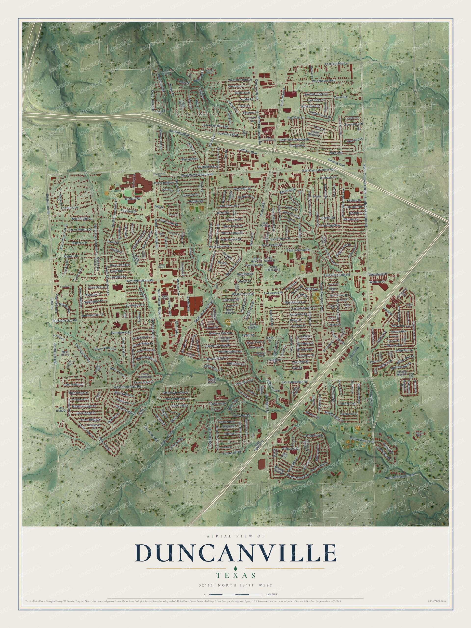
This beautifully detailed map of Duncanville, Texas was created in 2026 using aerial imagery combined with modern topographical, census, street and landmark data. It’s a one-of-a-kind view of Duncanville that combines accurate data with a vintage aesthetic. The map shows every building in its true location, many of the roads carry their names, and the shaded topographic relief shows the shape of the land.
Explore an aerial view of Duncanville, Texas
On the map you’ll find River Oaks, Red Bird Addition, Chris Paris Park, and Lions Park, along with South Cockrell Hill Road, South Clark Road, North Cockrell Hill Road, South Main Street, North Main Street, East Center Street, West Wintergreen Road, West Camp Wisdom Road, and more. If you look closely you can even find your house accurately drawn in its correct location. Zoom in on the preview to look for yours.
Did you know this piece of Duncanville, Texas history?
From the Handbook of Texas: "Though a fire in 1884 destroyed most of the community's commercial buildings, by the late 1800s dry goods stores, a pharmacy, a domino parlor, and a school existed in Duncanville."
Take a closer look at the Duncanville map
Street and place names on the Duncanville, Texas map
These names are printed on the map of Duncanville, Texas.
Places: River Oaks, Red Bird Addition, Chris Paris Park and Lions Park.
Streets and roads: South Cockrell Hill Road, South Clark Road, North Cockrell Hill Road, South Main Street, North Main Street, East Center Street, West Wintergreen Road, West Camp Wisdom Road, East Camp Wisdom Road, West Center Street, North Clark Road, North Cedar Ridge Drive.
More street names, A to Z
Aaron Place, Acton Avenue, Adams Drive, Alameda Avenue, Allen Avenue, Amelia Street, Anzio Drive, Apollo Avenue, Ascot Drive, Astaire Avenue, Athenia Way, Azalea Lane, Barrymore Lane, Bayless Lane, Beaver Creek Drive, Bella Street, Belmont Place, Big Stone Gap Road, Blanco Street, Blossom Drive, Blueridge Drive, Bogart Circle, Bow Creek Drive, Braewood Place, Briar Hill Circle, Briarmeade Drive, Brooks Drive, Brookwood Drive, Cactus Drive, Calder Avenue, Cambridge Drive, Camellia Drive, Candlelight Avenue, Caravan Trail, Carder Street, Cardinal Creek Drive, Carriage Way, Carroll Avenue, Cavan Road, Cedar Creek, Cedar Hill Road, Cedar Ridge Drive, Cedar Run Drive, Cedar Street, Center Ridge Drive, Charlotte Street, Churchill Downs, Circle Drive, Clark Road, Cliffcrest Drive, Cliffwood Drive, Clint Smith Drive, Corinthian Place, Coronado Lane, Country Bend, Coventry Lane, Creekhaven Drive, Crescent Lane, Crestdell Drive, Crest Lane Drive, Crestside Drive, Cripple Creek Drive, Crosspointe, Crystal Springs Drive, Cypress Street, Dawson Drive, Deer Ridge Drive, Del Lenora Drive, Delphi Drive, Dove Creek Drive, Dow Ross Boulevard, Driftwood Drive, Dula Circle, Duncanville Road, East Carr Lane, East Cherry Street, East Danieldale Road, East Davis Street, East Fain Street, East Fairmeadows Drive, East Freeman Street, East Magnolia Lane, East Mona Avenue, East Nance Street, East Red Bird Lane, East Vinyard Road, East Wheatland Road, Eisenhower Drive, Elsmere Drive, Emporia Lane, Escuela Drive, Explorer Street, Fairbanks Circle, Fairlawn Drive, Fairway Drive, Fairwood Place, Falling Leaves Drive, Fawn Ridge Drive, Ferguson Lane, Flamingo Way, Florence, Fouts Avenue, Frank Keasler Boulevard, Gable Avenue, Garland, Gaynor Avenue, Gemini Avenue, Genoa Drive, Gentle Meadow Lane, Georgeland Drive, Godwin Lane, Golden Meadow Lane, Granada Drive, Grant Court, Graystone Place, Greenbriar Lane, Green Hills Court, Green Hills Road, Green Leaf Lane, Green Ridge Drive, Green Rock Drive, Green Terrace Lane, Green Tree Lane, Green Valley Lane, Greenway Circle, Greenway Drive, Halo Street, Halsey Drive, Hamilton Street, Harman Street, Harrington Drive, Hayworth Avenue, Heather Glen, Heather Wood Drive, Hickory Drive, Highland Drive, Highmore Drive, High Ridge Drive, Hill City Drive, Hillcroft Drive, Holiday Lane, Holly Lane, Hummingbird Lane, Huntington Drive, Hustead Street, Ida Vista Court, James Collins Boulevard, Jellison Boulevard, Jewell Drive, Joes Drive, Joe Wilson Road, Johnson Drive, Jungle Drive, Katherine Court, Kelly Court, Kennedy Avenue, Kensington Drive, Kings Court, Lady Lane, Lakeside Drive, Lakeview Circle, Lansdale Drive, Larry Drive, Lazy River Drive, Lime Leaf Lane, Limetree Lane, Linda Lane, Linkcrest Drive, Link Drive, Linkhaven Drive, Linklea Drive, Linkmeadow Drive, Linkview Drive, Linkwood Drive, Little Creek Drive, Lloyd Drive, Lodema Lane, Lombard Lane, London Lane, Longworth Boulevard, Los Altos Lane, Lou Avenue, Madrid Drive, Main Park Lane, Mansfield, Maple Leaf Drive, Markwood Drive, Marshall Drive, McArthur Drive, McCall Drive, Mc Murray Avenue, Meadowbrooke Drive, Meadowcreek Drive, Meadow Creek Drive, Meadow Crest Lane, Meadowglen Drive, Meadow Green, Meadowlark Lane, Meadow Ridge Drive, Meadow Run Drive, Melody Lane, Mercury Avenue, Merribrook Trail, Michaels Drive, Middale Road, Middle Run, Mission Street, Mizell Street, Monroe Drive, Moore Street, Morning Dove Drive, Moss Hill Lane, Naples Drive, Natalie Lane, Nature Drive, Nob Hill Drive, North Alexander Avenue, North Capri Drive, North Casa Grande Circle, North Duncanville Road, North Forest Lane, North Greenstone Lane, North Hastings Street, North Horne Street, North Merrill Avenue, North Peach Street, North Royal Oak Drive, North Venice Drive, Oak Ridge Drive, Oleander Street, Olson Place, Olympia Drive, Omaha Lane, Oriole Boulevard, Oriole Circle, Palm Avenue, Park Lane, Parkview Drive, Parkwood Circle, Partridge Run Drive, Patton Street, Pebble Road, Pelt Place, Plateau Drive, Plaza Lane, Polo Court, Power Drive, Quail Run, Red Bud Drive, Redman Lane, Rew Avenue, Richlen Way, Ridge Crest Drive, Ridge Rock Lane, Rita Lane, Robin Hill Lane, Rockaway Drive, Rock Canyon Drive, Rock Rose Drive, Rock Springs Road, Rolling Ridge Lane, Rolling River Trail, Roma Drive, Roundtop Boulevard, Royal Avenue, Sagebrush Trail, Sanders Drive, San Juan Drive, San Miguel Drive, Seabrook Drive, Shady Trail Drive, Shady Tree Place, Shannon Drive, Sharon Drive, Sherrill Boulevard, Shorewood Drive, Sierra Blanca Drive, Silver Creek Drive, Ski Drive, Skyline Drive, Softwood Drive, Sorrel Street, South Alexander Avenue, South Capri Drive, South Casa Grande Circle, South Cedar Ridge Drive, South Forest Lane, South Greenstone Lane, South Horne Street, South Lincoln Drive, South Loop Drive, South Peach Street, South Santa Fe Trail, South Venice Drive, Southwood Drive, Space Way Drive, Sparta Drive, Spindle Top Drive, Spring Lake Drive, Springwood Lane, Stanwyck Avenue, Starnes Drive, Statler Drive, Steger Drive, Stewart Avenue, Stratford Lane, Summit Ridge Drive, Sunset Lane, Sunset Village Drive, Sun Valley Drive, Swan Ridge Drive, Tampico Circle, Tanco Lane, Tanglewood Drive, Taylor Court, Teakwood Drive, Tenery Lane, Ten Mile Lane, Thistle Green Lane, Thrush Avenue, Timberline Drive, Timber Trail, Timothy Trail, Towercrest Drive, Tracy Avenue, Trail Ridge Drive, Truman Court, Tucson Drive, Tyler Court, Upland Lane, Valley Lane, Valley View Lane, Van Rowe Avenue, Victory Lane, Villa Creek Drive, Walnut Street, Wayne Avenue, Wellington Drive, Wesley Lane, West-Ridge Drive, West Cherry Street, West Danieldale Road, West Daniel Street, West Davis Street, West Fain Street, West Fairmeadows Drive, West Highway 67, West Lane, Westminister Lane, West Nance Street, West Orange Street, West Red Bird Lane, West Shaw Street, West Sliger Drive, West Vinyard Road, West Wheatland Road, Westwood Court, Whitecliff Drive, Wildwood Drive, Willowbrook Drive, Willow Run Drive, Wilson Court, Winding Trail, Wind Ridge Drive, Wind River Drive, Windsor Drive, Wishing Star Drive, Wood Creek, Woodhaven Boulevard, Woodlands, Wren Avenue, Wyndham Drive.
See the Duncanville, Texas map on a wall
The Duncanville map as an 18 x 24 inch print in a black frame.

This beautifully detailed map of Duncanville makes an attractive addition to your office, library, or den, and it can even be used to teach children the geography and history of the area. It also makes a great gift for anyone who grew up in Duncanville or moved away. When you’re done exploring, click here to get your copy of the Duncanville map.