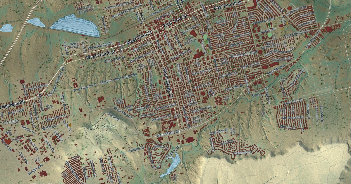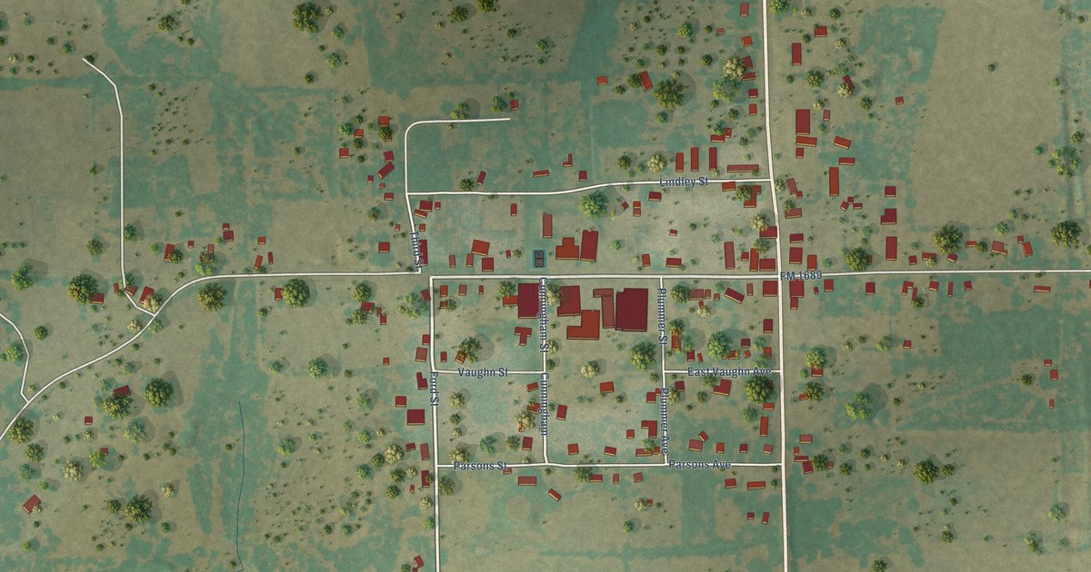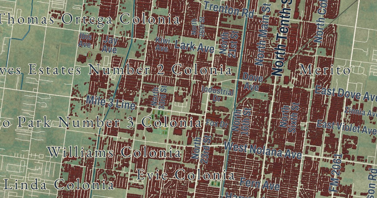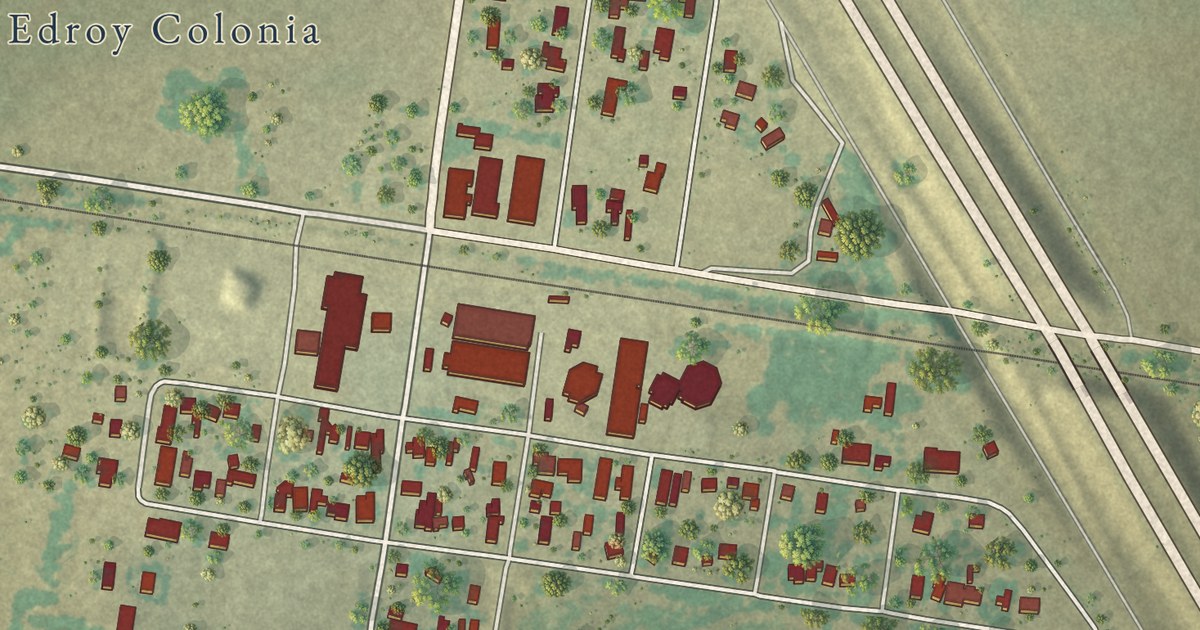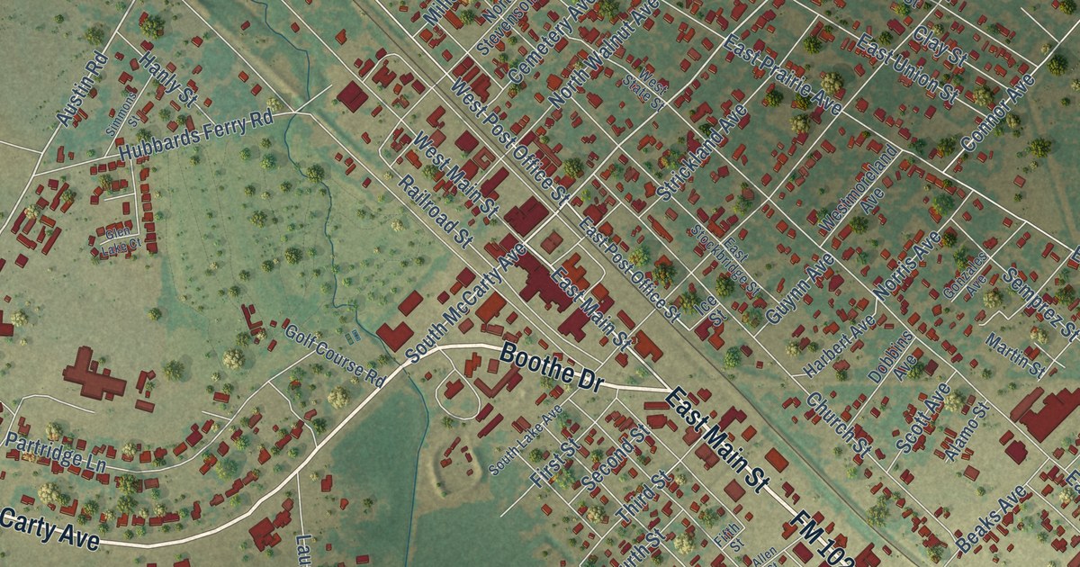
This beautifully detailed map of Eagle Lake, Texas was created in 2026 using aerial imagery combined with modern topographical, census, street and landmark data. It’s a one-of-a-kind view of Eagle Lake that combines accurate data with a vintage aesthetic. The map shows every building in its true location, many of the roads carry their names, and the shaded topographic relief shows the shape of the land.
Explore an aerial view of Eagle Lake, Texas
On the map you’ll find East Main Street, Boothe Drive, FM 102, South McCarty Avenue, East FM 3013 Road, FM 1093 Highway, Austin Road, North McCarty Avenue, North Austin Road, FM 3013 West, Highway 3013 West, West Post Office Street, and more. If you look closely you can even find your house accurately drawn in its correct location. Zoom in on the preview to look for yours.
Did you know this piece of Eagle Lake, Texas history?
From the Handbook of Texas: "William Dunovant started raising sugarcane and built a sugar mill at Lakeside, on the eastern shore of the lake."
Take a closer look at the Eagle Lake map
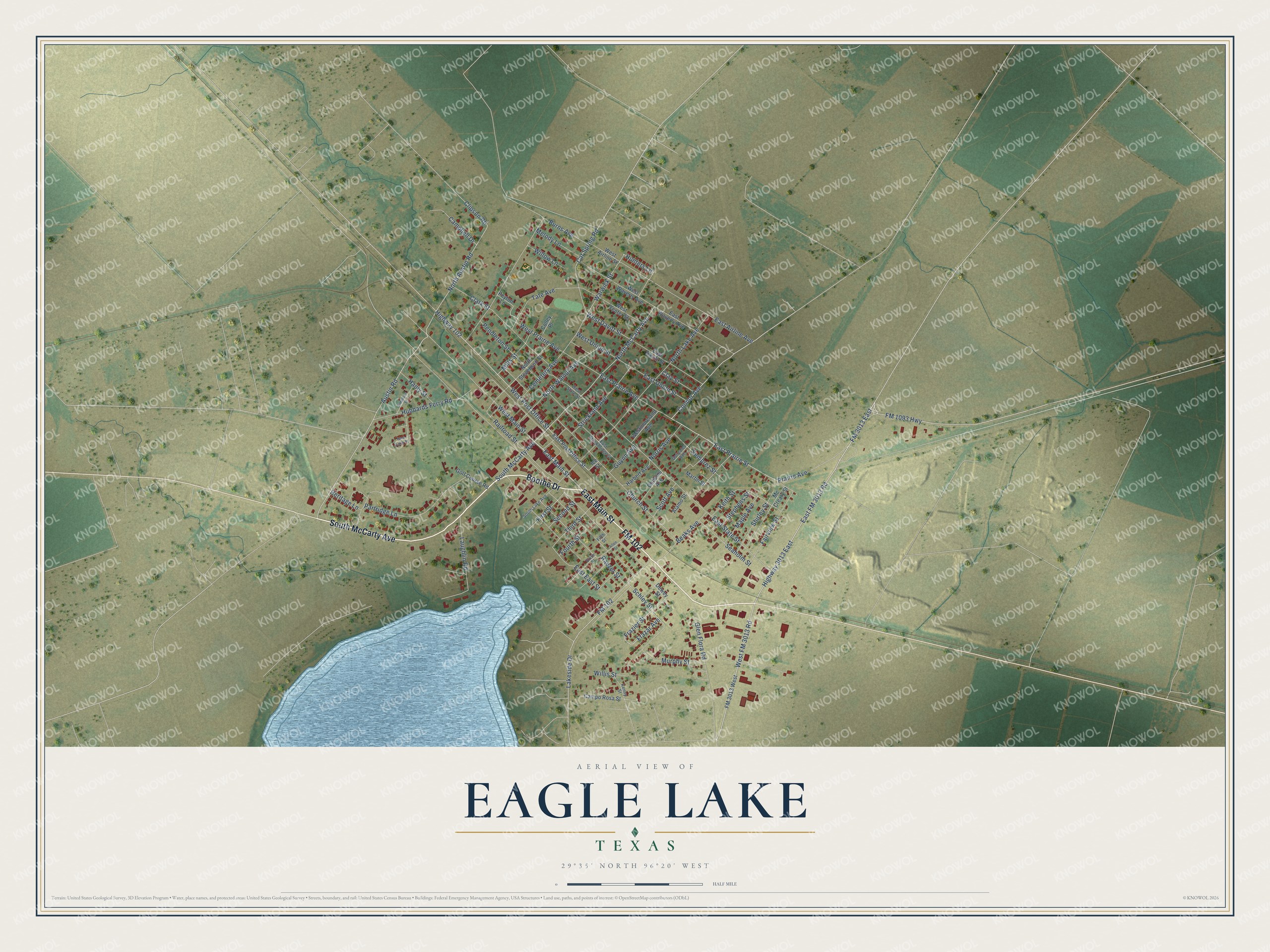
Street names on the Eagle Lake, Texas map
These names are printed on the map of Eagle Lake, Texas.
Streets and roads: East Main Street, Boothe Drive, FM 102, South McCarty Avenue, East FM 3013 Road, FM 1093 Highway, West FM 3013 Road, Austin Road, North McCarty Avenue, West Post Office Street, North Austin Road, Warwick Street.
More street names, A to Z
Alamo Street, Allen Street, Beaks Avenue, Burns Avenue, Campbell Drive, Campo Rosa Street, Cat Spring Road, Cemetery Avenue, Church Street, Clark Street, Clay Street, Clipson Road, Colley Place, Connor Avenue, Dewey Street, Dobbins Avenue, East Airline Avenue, East Davitt Street, East East Street, East Post Office Street, East Prairie Avenue, East Prairie Street, East State Street, East Stockbridge Street, East Union Street, East Waverly Avenue, Fairview Street, Fifth Street, First Street, FM 3013 East, FM 3013 West, Fourth Street, Frazar Avenue, Frazier Street, Glen Flora Road, Glen Lake Court, Golf Course Road, Gonzales Avenue, Guynn Avenue, Hanly Street, Harbert Avenue, Heritage Lane, Highway 102, Highway 3013 East, Hubbards Ferry Road, Hunters Lane, Ice Street, Keith Street, Kenny Street, Lakeside Drive, Laughlin Road, Maple Avenue, Martin Street, Mc Creary Street, Melody Lane, Mills Street, Murphy Street, Norris Avenue, North Lake Avenue, North Stevenson Street, North Walnut Avenue, Partridge Lane, Pendleton Street, Peyton Lane, Prairie Avenue, Raezer Street, Railroad Street, Schley Street, Scott Avenue, Seaholm Street, Second Street, Semprez Street, Shirley Street, Simmons Street, Sixth Street, South Lake Avenue, Stephens Street, Strickland Avenue, Tate Avenue, Third Street, West Airline Street, West Center Street, West Davitt Street, West Main Street, Westmoreland Avenue, West Prairie Avenue, West State Street, West Union Street, West Waverly Avenue, Willis Street, Willow Lane.
See the Eagle Lake, Texas map on a wall
The Eagle Lake map as an 18 x 24 inch print in a black frame.

This beautifully detailed map of Eagle Lake makes an attractive addition to your office, library, or den, and it can even be used to teach children the geography and history of the area. It also makes a great gift for anyone with Eagle Lake roots. When you’re done exploring, click here to get your copy of the Eagle Lake map.