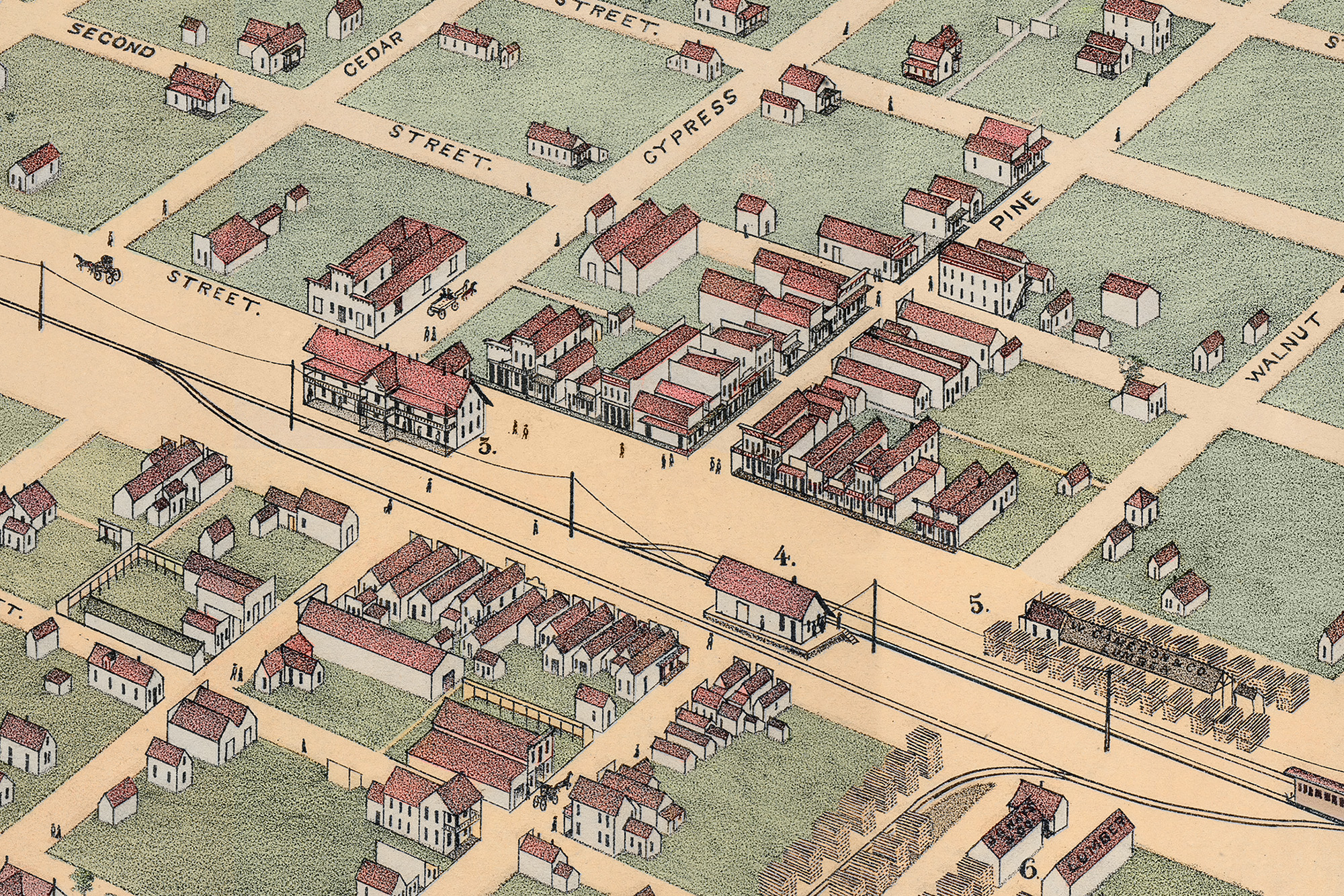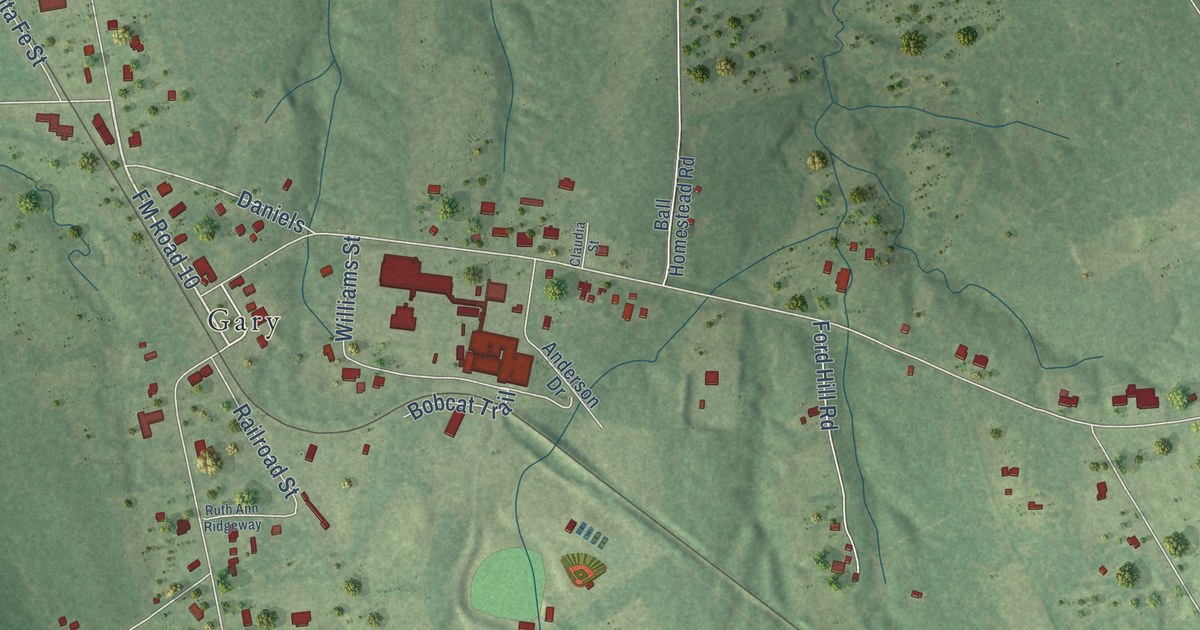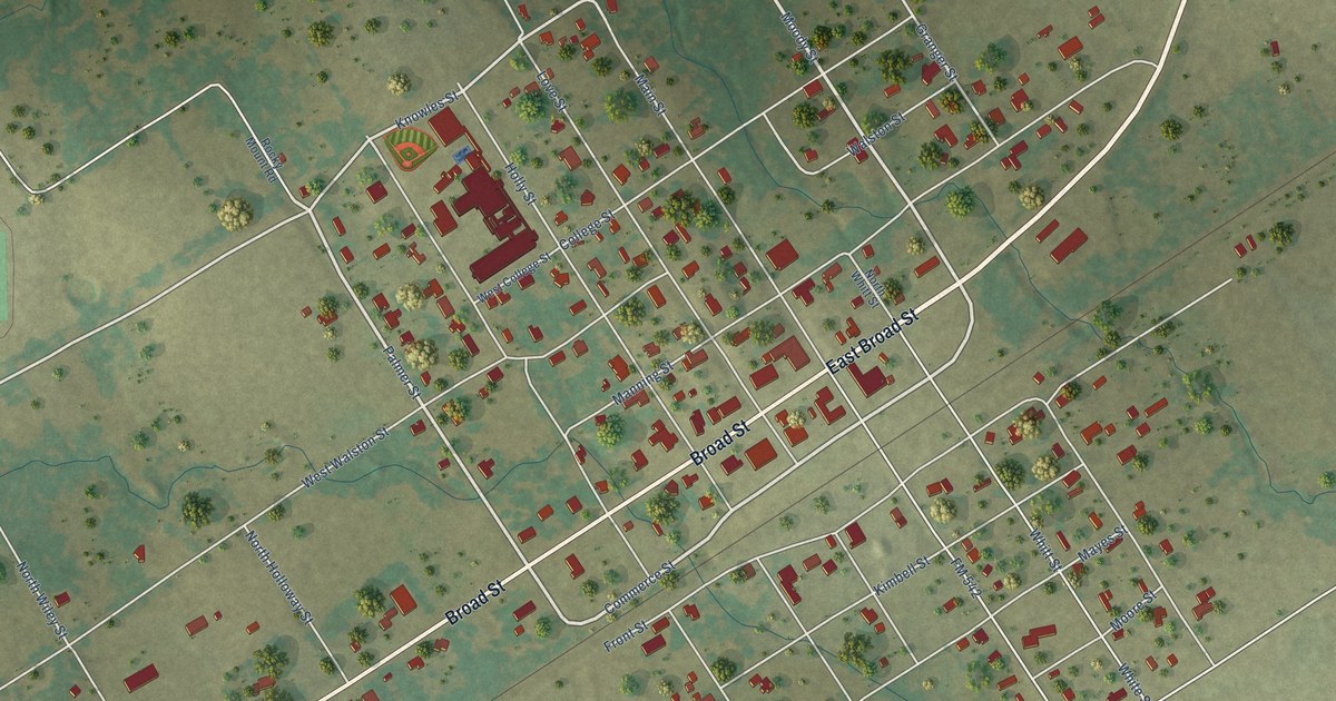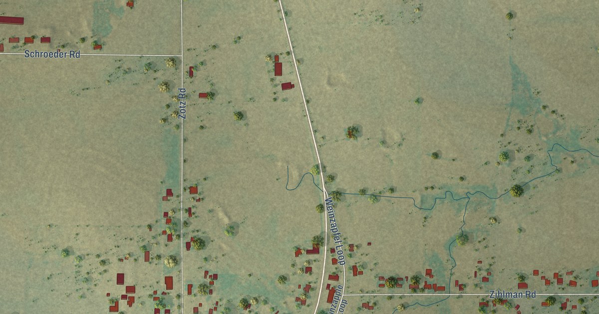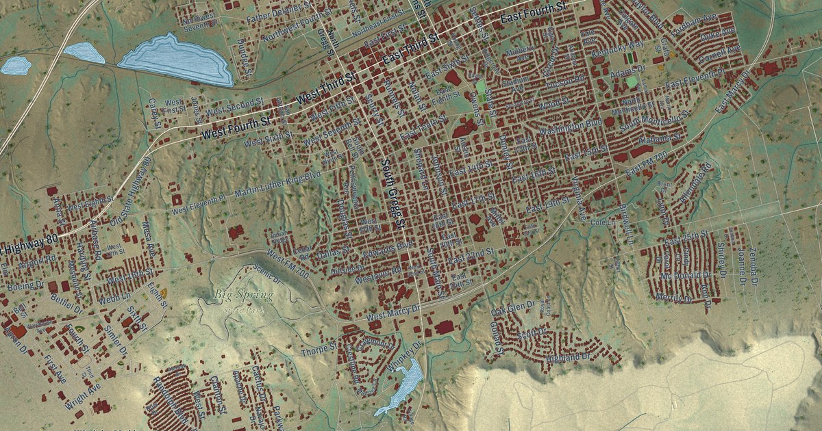
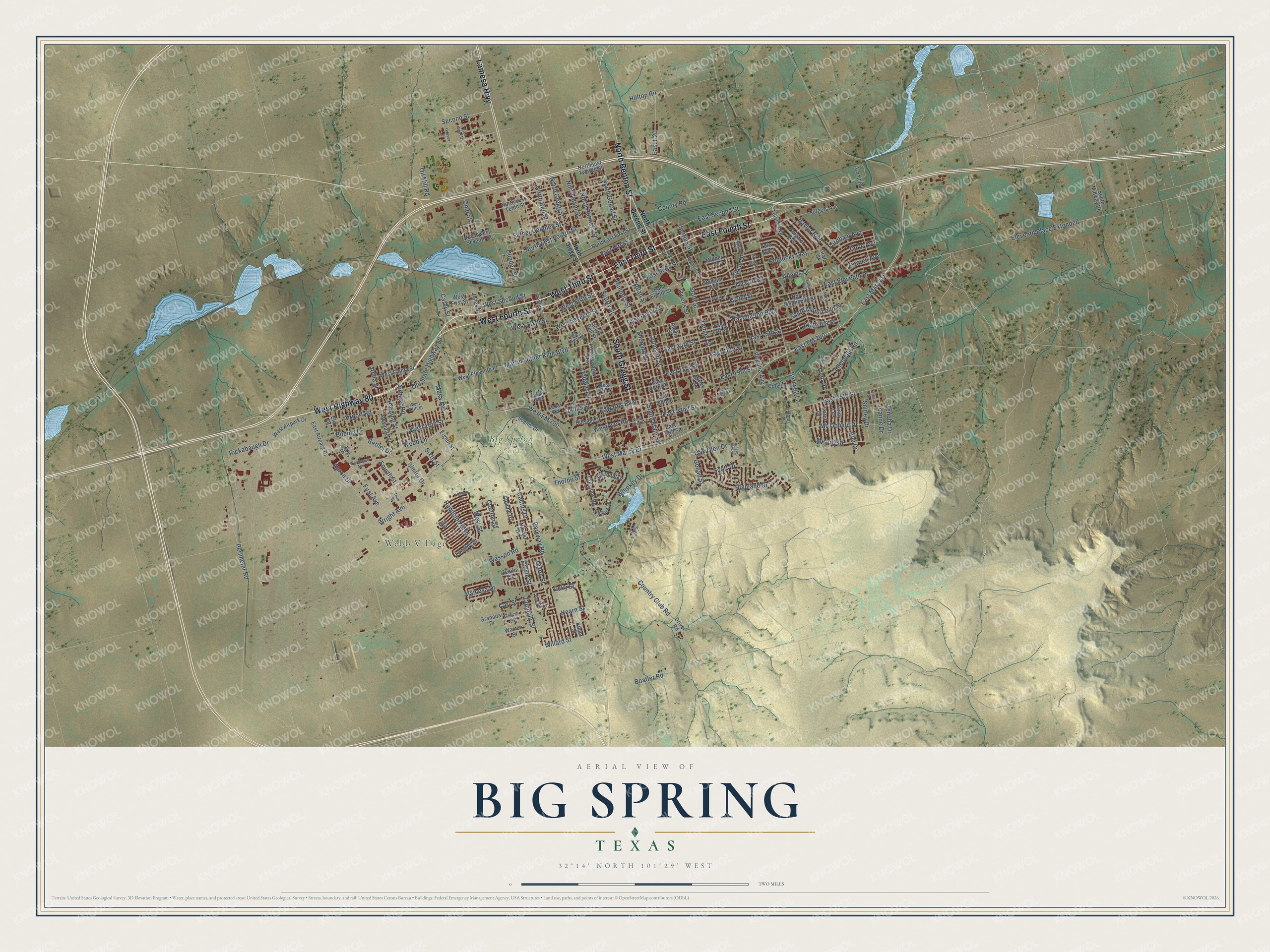
This beautifully detailed map of Big Spring, Texas was created in 2026 using aerial imagery combined with modern topographical, census, street and landmark data. It’s a one-of-a-kind view of Big Spring that combines accurate data with a vintage aesthetic. The map shows every building in its true location, many of the roads carry their names, and the shaded topographic relief shows the shape of the land.
Explore an aerial view of Big Spring, Texas
On the map you’ll find Webb Village, Big Spring State Park, and East FM 700, along with East Third Street, West Highway 80, West Third Street, East Fourth Street, Lamesa Highway, South Gregg Street, West Fourth Street, North Benton Street, Simler Drive, and more. If you look closely you can even find your house accurately drawn in its correct location. Zoom in on the preview to look for yours.
Did you know this piece of Big Spring, Texas history?
From the Handbook of Texas: "Big Spring Army Air Corps Bombardier School was opened on land southwest of the city in 1942 and during the war graduated more than 5,000 bombardiers."
Take a closer look at the Big Spring map
Street and place names on the Big Spring, Texas map
These names are printed on the map of Big Spring, Texas.
Places: Webb Village and Big Spring State Park.
Streets and roads: East Third Street, West Highway 80, West Third Street, East Fourth Street, Lamesa Highway, South Gregg Street, West Fourth Street, North Benton Street, Simler Drive, East FM 700, East Marcy Drive, Randolph Boulevard.
More street names, A to Z
Adams Drive, Airbase Road, Airport Road, Alabama Street, Alamesa Drive, Albrook Drive, Allendale Road, Anna Street, Ann Drive, Apache Drive, Apron Drive, Arizona Street, Arnett Road, Austin Street, Baylor Boulevard, Bell Street, Bethel Drive, Bilger Street, Birdwell Lane, Boatler Road, Boeing Drive, Brent Drive, Cactus Drive, Calvin Street, Carey Street, Carl Street, Carol Drive, Caylor Drive, Cecilia Street, Cedar Road, Cindy Lane, Circle Drive, Clanton Street, Cole Lane, Colgate Avenue, Connally Street, Cornell Avenue, Country Club Road, County Road, Craigmont Drive, Crestline Road, Dallas Street, Dixon Street, Donley Street, Douglas Street, Dow Drive, Driver Road, Duke Avenue, Dundee Street, East 13th Street, East 14th Street, East 15th Street, East 16th Street, East 17th Street, East 18th Street, East 19th Street, East 20th Street, East 21st Street, East 22nd Street, East 24th Street, East 25th Street, East Airpark Drive, East Eighth Street, East Eleventh Place, East First Street, East I-20, East Second Street, East Sixth Street, East Tenth Street, Edwards Boulevard, Eighth Street, Eleventh Place Extended, Elgin Street, Elm Drive, Father Delaney Street, First Avenue, Fisher Street, Fordham Avenue, Fourth Street, Goliad Street, Grace Street, Grafa Street, Granada Drive, Hamilton Street, Harding Street, Hearn Street, Highland Drive, Hillside Drive, Hilltop Road, Indian Ridge, Joanne Drive, Johnson Street, Jones Street, Joshua Drive, Kentucky Way, Lamar Avenue, Langley Drive, Lynn Drive, Marijo Avenue, Martin Luther King Boulevard, Mc Donald Drive, Melrose Lane, Merrily Drive, Mesa Avenue, Mesquite Street, Mittel Avenue, Mulberry Avenue, Navajo Drive, Nolan Street, North Bell Street, Northeast First Street, Northeast Twelfth Street, North Goliad Street, North Gregg Street, North Main Street, North Monticello Street, North Owens Street, North Runnels Street, Northwest Fourth Street, Northwest Seventh Street, Northwest Tenth Street, Oak Glen Drive, Odessa Drive, Ohio Street, Oil Mill Road, Old State Highway 80, Owens Street, Parkway Road, Pennsylvania Avenue, Perimeter Road, Rickabaugh Drive, Ridgeroad Drive, Royal Coast Lane, Runnels Street, Rutgers Avenue, San Antonio Street, Scenic Drive, Scott Drive, Scurry Street, Second Street, Settles Street, Shepard Lane, Shirley Drive, Sixth Street, South Bell Street, South Main Street, South Midway Road, South Monticello Street, Stadium Avenue, State Street, Sycamore Street, Third Street, Thorpe Street, Tucson Road, Tulane Avenue, Van Horn Drive, Vicky Street, Village Road, Virginia Avenue, Warehouse Avenue, Warren Street, Washington Boulevard, Wasson Road, Webb Lane, West 13th Street, West 16th Street, West 17th Street, West 22nd Street, West Airpark Drive, West Eighth Street, West Eleventh Place, West Fifth Street, West First Street, West FM 700, West Marcy Drive, West Ninth Street, Westover Road, West Second Street, West Seventh Street, West Sixth Street, West Street, Whipkey Drive, Willard Street, Wood Street, Wright Avenue, Yale Avenue, Young Street, Zenoba Drive.
See the Big Spring, Texas map on a wall
The Big Spring map as an 18 x 24 inch print in a black frame.

This beautifully detailed map of Big Spring makes an attractive addition to your office, library, or den, and it can even be used to teach children the geography and history of the area. It also makes a great gift for anyone who grew up in Big Spring or moved away. When you’re done exploring, click here to get your copy of the Big Spring map.