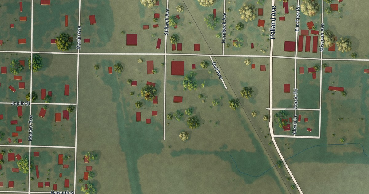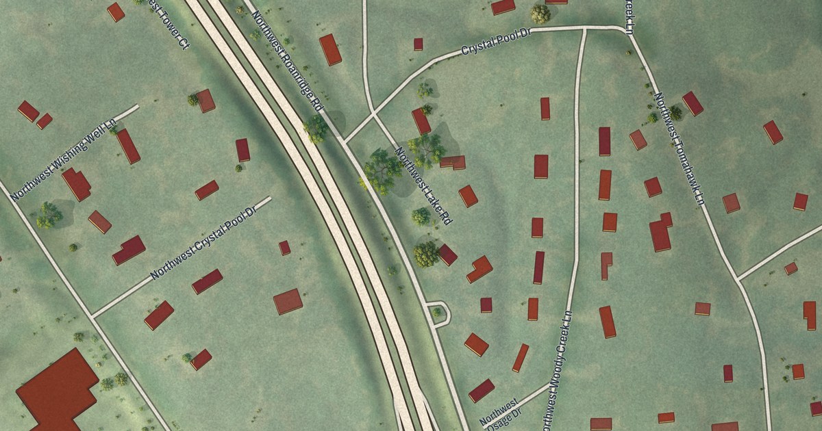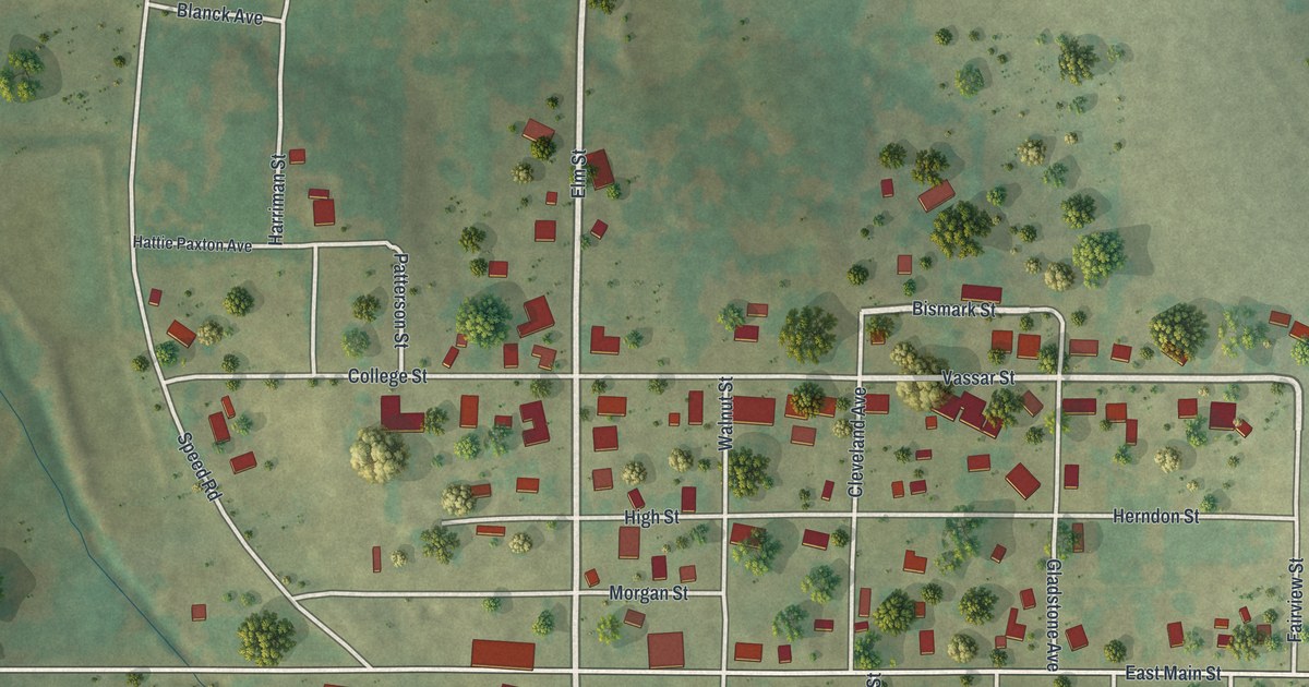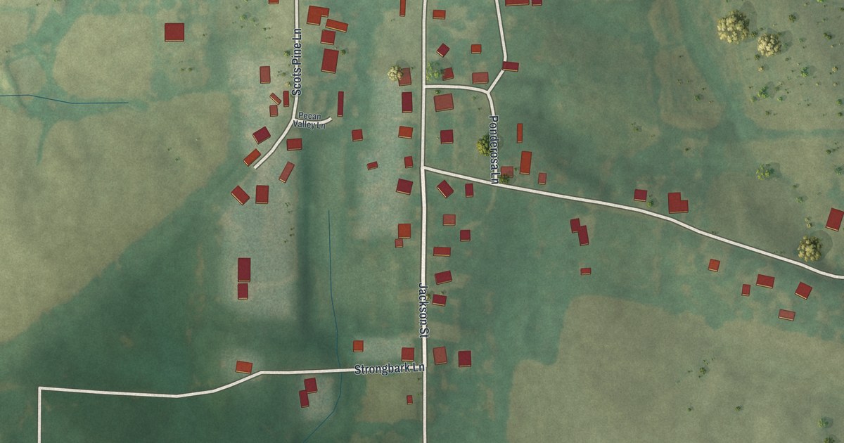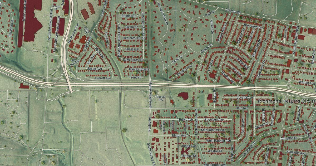
This beautifully detailed map of Richmond Heights, Missouri was created in 2026 using aerial imagery combined with modern topographical, census, street and landmark data. It’s a one-of-a-kind view of Richmond Heights that combines accurate data with a vintage aesthetic. The map shows every building in its true location, many of the roads carry their names, and the shaded topographic relief shows the shape of the land.
Explore an aerial view of Richmond Heights, Missouri
On the map you’ll find Richmond Heights City Hall, along with Eager Road, Lake Forest Drive, Sierra Drive, East Lake Forest Drive, Ridgetop Drive, Overcrest Drive, Rainier Drive, Clayton Road, Westfield Drive, Shasta Drive, Sutton Avenue, and more. If you look closely you can even find your house accurately drawn in its correct location. Zoom in on the preview to look for yours.
Take a closer look at the Richmond Heights map
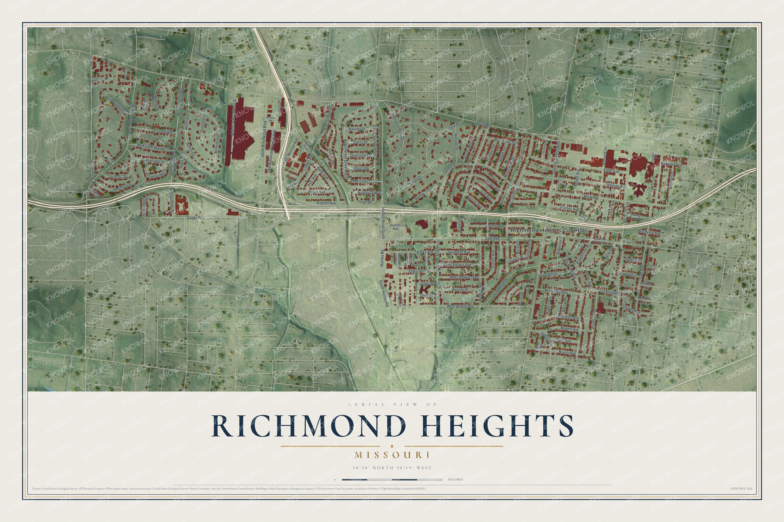
Street and place names on the Richmond Heights, Missouri map
These names are printed on the map of Richmond Heights, Missouri.
Places: Richmond Heights City Hall and Sydney Park.
Streets and roads: Eager Road, Lake Forest Drive, Sierra Drive, East Lake Forest Drive, Ridgetop Drive, Overcrest Drive, Rainier Drive, Clayton Road, Westfield Drive, Shasta Drive, Sutton Avenue, Antler Drive.
More street names, A to Z
Access Road, Arch Terrace, Arlington Drive, Arthur Avenue, Banneker Avenue, Barger Place, Bellevue Avenue, Bennett Avenue, Berkshire Drive, Beulah Place, Blendon Place, Boland Place, Boneta Avenue, Bramley Lane, Bredell Avenue, Brookline Terrace, Bruno Avenue, Bryan Avenue, Buck Avenue, Center Drive, Chafford Woods, Claytonia Terrace, Collins Avenue, Commodore Drive, Council Place, Dale Avenue, Del Norte Avenue, Delta Avenue, De Mun Avenue, Douglas Avenue, Dumas Avenue, East Linden Avenue, Edward Terrace, Elinor Avenue, El Moro Avenue, Ethel Avenue, Everett Avenue, Fair Oaks Crescent Court, Francis Place, Gissler Avenue, Glades Avenue, Goff Avenue, Gray Avenue, Greenridge Drive, Greylock Drive, Hampton Park Drive, Hanley Downs, Hanley Road, Hanley Road South, Haverford Terrace, Hawthorne Place, Hiawatha Avenue, Hicks Avenue, Highland Terrace, Hillside Drive, Hoover Avenue, Horner Avenue, Hunter Avenue, Jones Avenue, Kurt Avenue, Laclede Station Road, Lake Forest Drive West, La Veta Avenue, Laymont Court, Lay Road, Layton Terrace, Lile Avenue, Lindbergh Drive, Linden Avenue, Lovella Avenue, Mabel Avenue, Maplewood Commons Drive, McCready Avenue, McCutcheon Avenue, Mc Cutcheon Road, McCutcheon Road, McKnight Orchard Lane, McKnight Woods, Mc Morrow Avenue, Mitchell Avenue, Monmouth Drive, Moorlands Drive, Murphy Avenue, Nashville Avenue, North Lay Road, Oakland Avenue, Park Drive, Plateau Avenue, Princeton Place, Ralph Terrace, Rankin Drive, Red Bud Avenue, Ridemont Drive, Rupert Avenue, Saint Albans Avenue, Saint Louis Galleria Street, Saranac Drive, Scarsdale Lane, Silverton Place, Snowden Avenue, South Big Bend Boulevard, South Brentwood Boulevard, South Drive, South Hanley Road, South McKnight Road, South Warson Road, Stockard Avenue, Stonebridge Drive, Sunset Avenue, Surrey Hills Drive, Terrace Drive, The Boulevard Saint Louis, Thomas Street, Thorndell Drive, Trent Road, Warner Avenue, West Bruno Avenue, Weston Place, West Park Avenue, West Ranken Avenue, Williams Avenue, Wise Avenue, Woodland Drive, Yale Avenue.
See the Richmond Heights, Missouri map on a wall
The Richmond Heights map as an 18 x 24 inch print in a black frame.

This beautifully detailed map of Richmond Heights makes an attractive addition to your office, library, or den, and it can even be used to teach children the geography and history of the area. It also makes a great gift for anyone with Richmond Heights roots. When you’re done exploring, click here to get your copy of the Richmond Heights map.