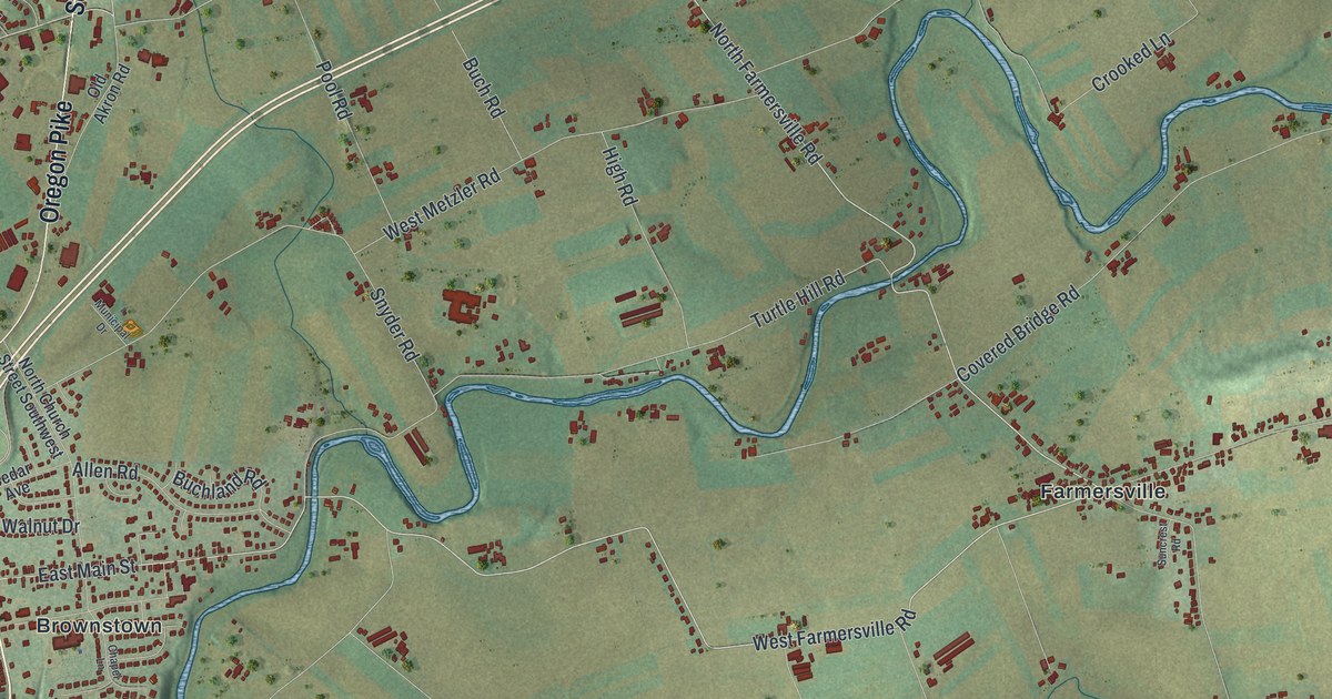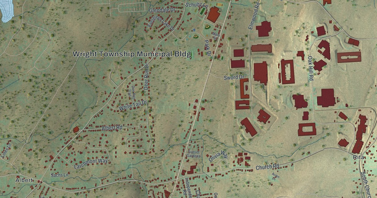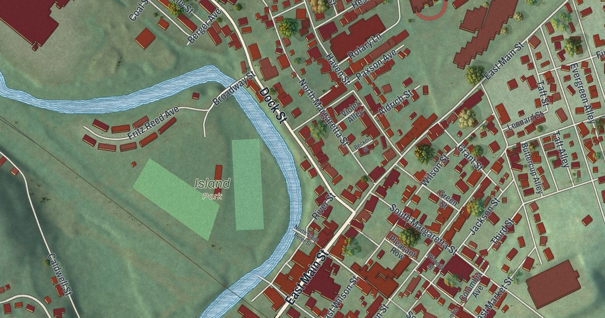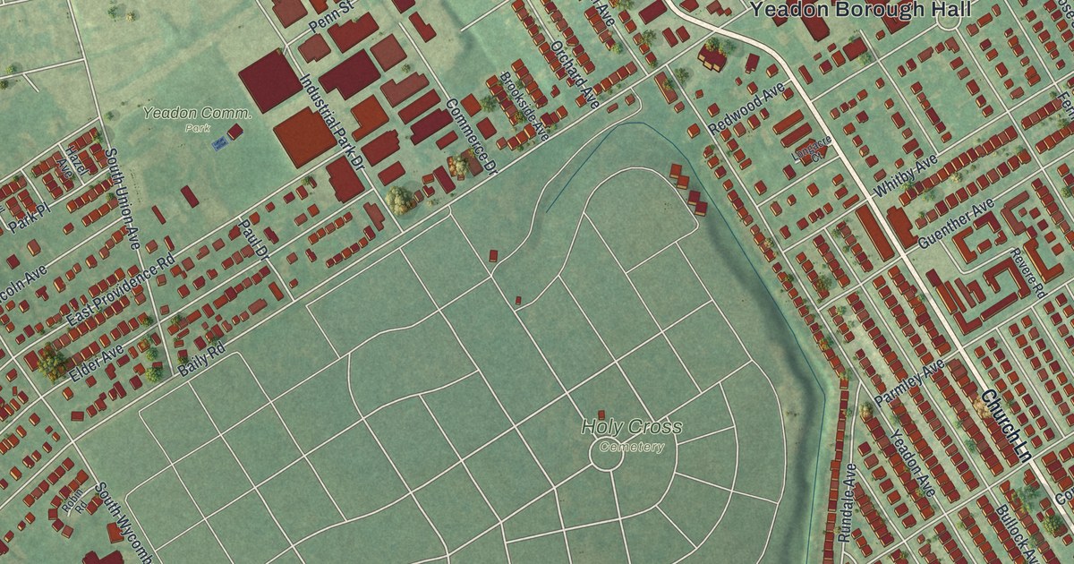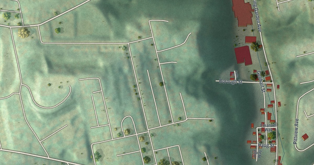
If you grew up on Spring Garden Avenue, or you still have family on Voskamp Street or Itin Street, this print is for you. It's a modern aerial view of Spring Garden, a Pittsburgh neighborhood in Allegheny County, Pennsylvania, built from modern data and given a vintage look. The map shows the long, narrow valley with its rows of red buildings, the steep green hills on both sides, and the river running along the lower right corner.
The 1874 Flood on Spring Garden Run
On this map you'll find Spring Garden Avenue, Voskamp Street, Itin Street, Lager Street, Mount Troy Road, Pittview Avenue, High Street, Firth Street, Schubert Street, Homer Street, Baun Road, Tell Street, East Allegheny, and more. Each red shape is a building, so zoom in on the preview and look for yours.
The History of Allegheny County, printed in 1889, tells of a hard day here. In July 1874, a waterspout burst, and the water came pouring down the little runs. The worst damage came on Spring Garden run, which people also called Bulcher's run. Most days it was a very quiet stream. That day, the water came thundering down the gorge almost without warning. Both sides of the run were closely built up. Several lives were lost, and a great deal of property was destroyed. On this map, you can see how tight that valley still is. Red buildings crowd both sides of Spring Garden Avenue as it winds between the steep green hills.
When Spring Garden Joined Allegheny in 1868
The same book says Spring Garden was once part of Reserve Township. In 1868, Troy Hill, Woodville and Spring Garden all became part of Allegheny. The first public school in the Spring Garden district went up in 1857, on a lot facing Angle and Humboldt streets. It was a small brick building with two rooms. In 1880, all the Spring Garden schools were brought together in a new brick building with twelve rooms.
Spring Garden Avenue on Your Wall
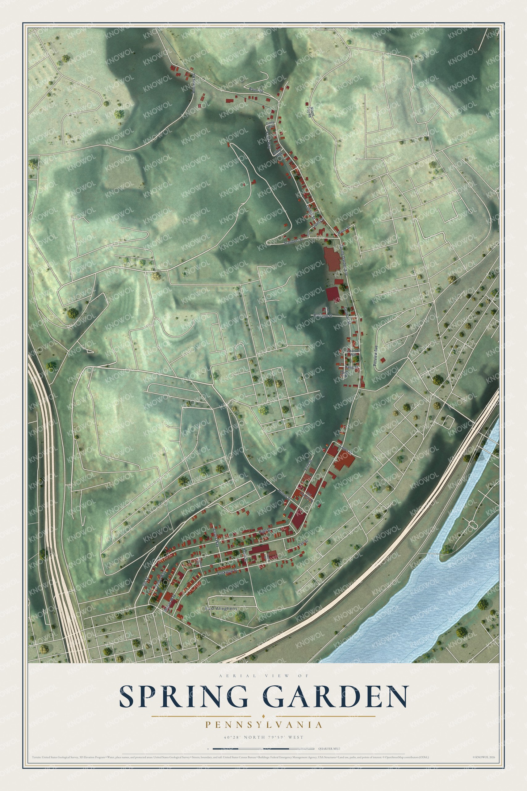
Created by KNOWOL in 2026, this print shows Spring Garden from above in soft greens, with shaded hills, thin cream streets, red buildings and a blue river at the lower right. The title panel reads Aerial View of Spring Garden, Pennsylvania, with 40°28' North 79°59' West printed beneath it.
It fits a kitchen, a front hall or a den. It's a good gift for someone who grew up along Spring Garden Avenue or on Mount Troy Road and now lives far away. Open the preview and find your own street in the valley. See sizes and frames for the Spring Garden map.