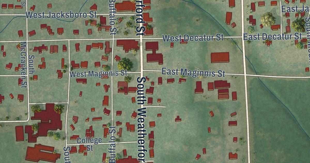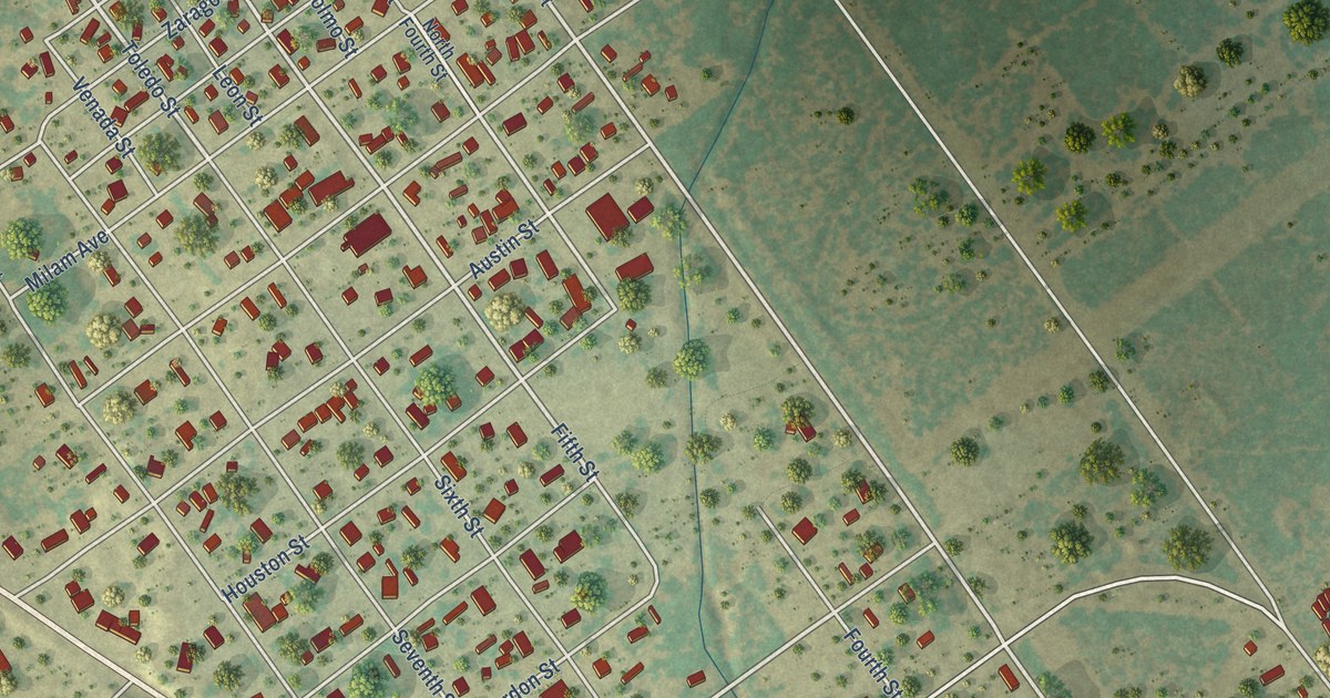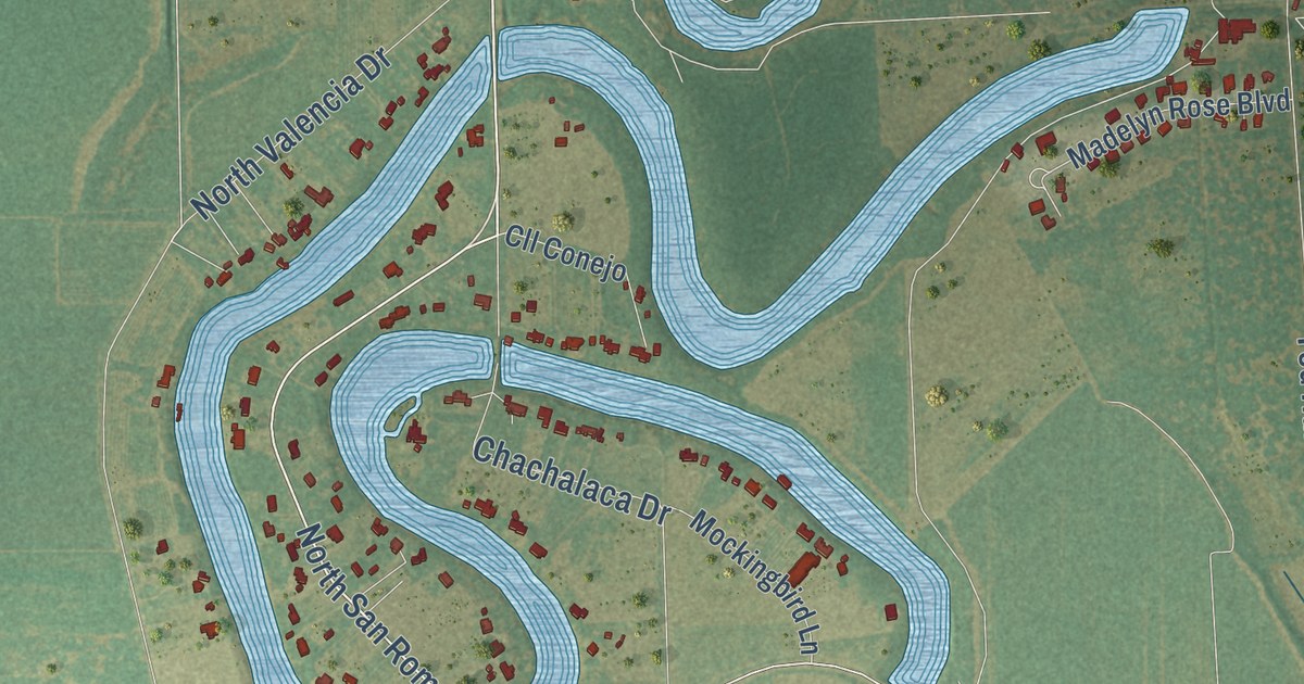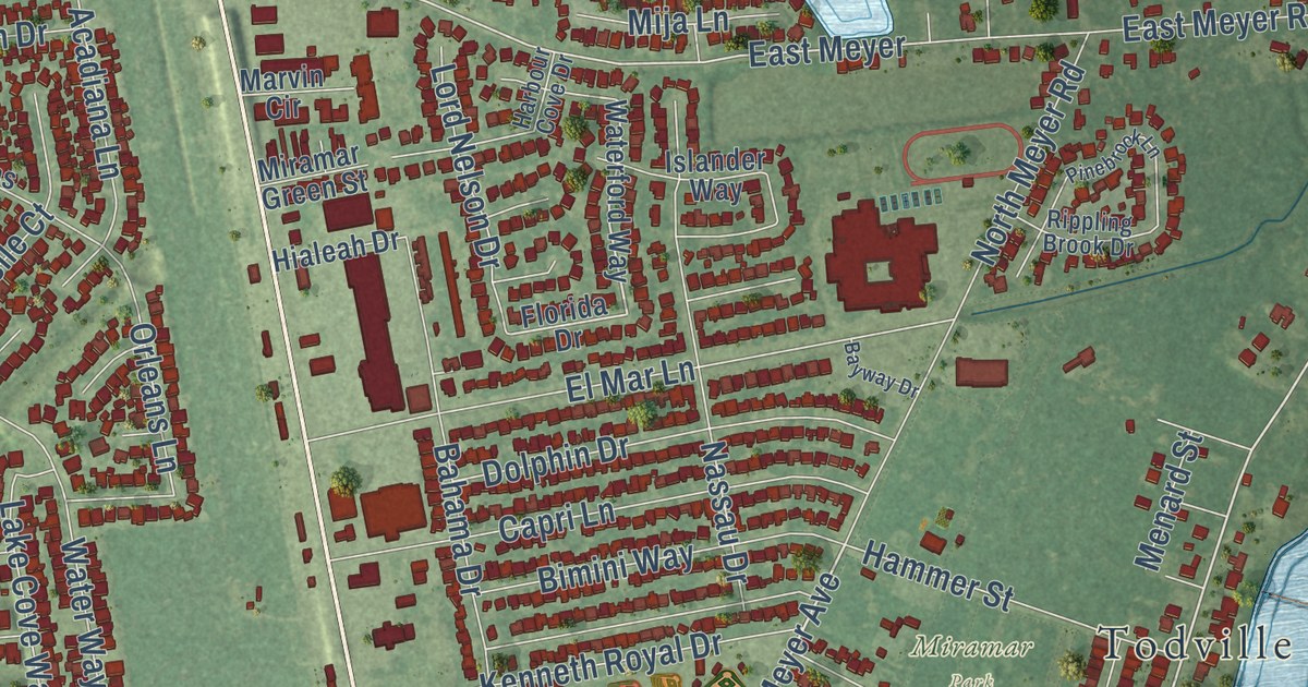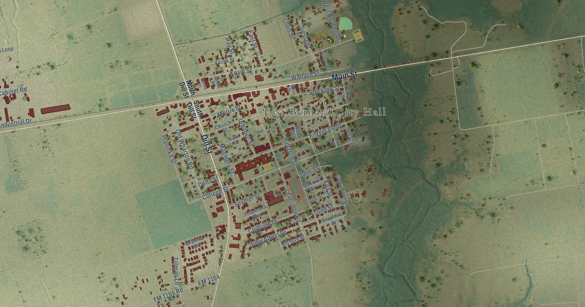
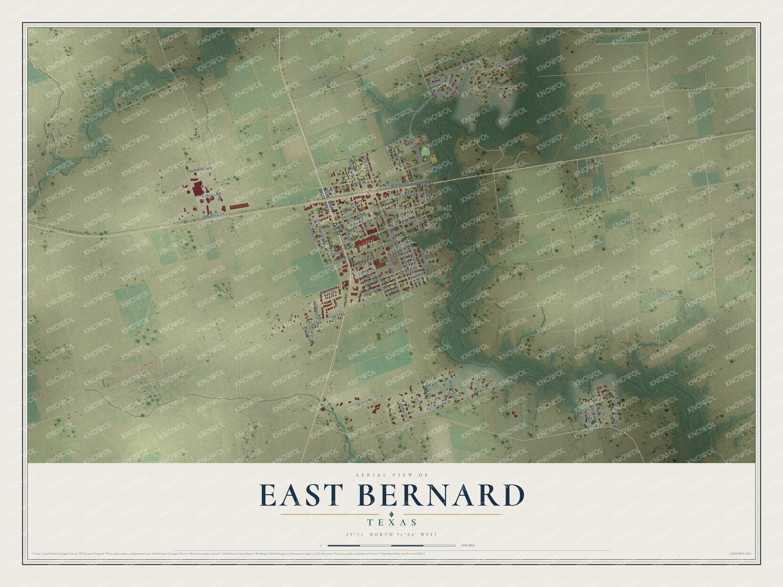
This beautifully detailed map of East Bernard, Texas was created in 2026 using aerial imagery combined with modern topographical, census, street and landmark data. It’s a one-of-a-kind view of East Bernard that combines accurate data with a vintage aesthetic. The map shows every building in its true location, many of the roads carry their names, and the shaded topographic relief shows the shape of the land.
Explore an aerial view of East Bernard, Texas
On the map you’ll find East Bernard City Hall, along with Dill Street, Main Street, Kukral Road, Clubside Drive, College Street, Hlavinka Street, Leveridge Road, Old Wharton Road, Koym Street, Sycamore Circle, Pietzsch Street, and more. If you look closely you can even find your house accurately drawn in its correct location. Zoom in on the preview to look for yours.
Did you know this piece of East Bernard, Texas history?
From the Handbook of Texas: "The first church in East Bernard was established in 1893, when German Methodist settlers dismantled their church in Content, three miles south of Weimar, and moved it by rail to East Bernard, where it was rebuilt in 1909."
Take a closer look at the East Bernard map
Street and place names on the East Bernard, Texas map
These names are printed on the map of East Bernard, Texas.
Places: East Bernard City Hall.
Streets and roads: Dill Street, Main Street, Kukral Road, Clubside Drive, College Street, Hlavinka Street, Leveridge Road, Old Wharton Road, Koym Street, Sycamore Circle, Pietzsch Street, Wallace Street.
More street names, A to Z
Behrens Street, Bernard Timbers Drive, Brahma Circle, Cabinet Road, Church Street, Dan Street, Delta Street, East Cypress Road, East Street, Ella Street, Fitzgerald Street, FM 1164, FM 1164 Road, Foundation Loop, Hargis Street, Holly Drive, Ike Street, Industrial Drive, Jane Street, Jarrell Street, John Albert Drive, Jones Street, Live Oak Court, Live Oak Lane, Louis Street, Magnolia Street, Marik Street, Maxine Street, Morris Street, Norman Street, North Dill Street, Otto Street, Pecan Lane, Ranchero Drive, Ray Street, Red Bud Lane, River Oaks Court, River Oaks Drive, Rodeo Drive, San Bernard Drive, Schumann Drive, Senkel Road, Seydler Street, Shannon Drive, Sierra Street, Siesta Street, South Dill Street, Stockton Street, Terry Street, Tillman Lane, Todd Street, Tropicana Boulevard, Twin Oaks Street, Urbanec Street, Vacek Street, West Bernard Drive, West Cypress Road, West Street, White Street.
See the East Bernard, Texas map on a wall
The East Bernard map as an 18 x 24 inch print in a black frame.

This beautifully detailed map of East Bernard makes an attractive addition to your office, library, or den, and it can even be used to teach children the geography and history of the area. It also makes a great gift for someone who left East Bernard and still calls it home. When you’re done exploring, click here to get your copy of the East Bernard map.