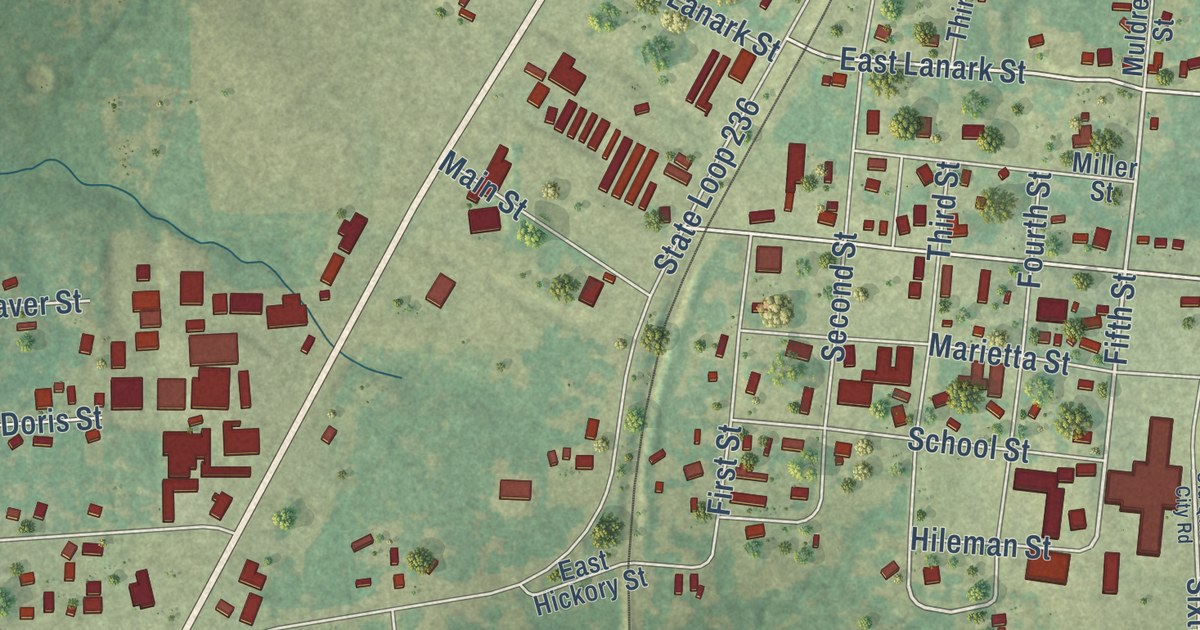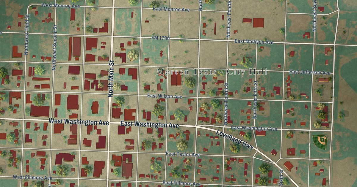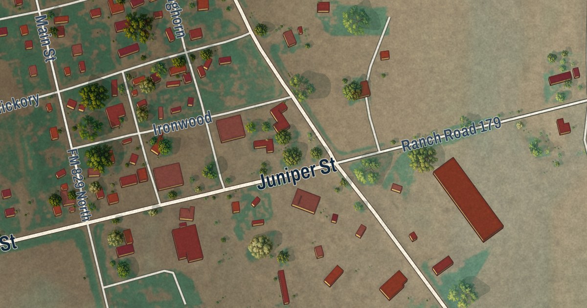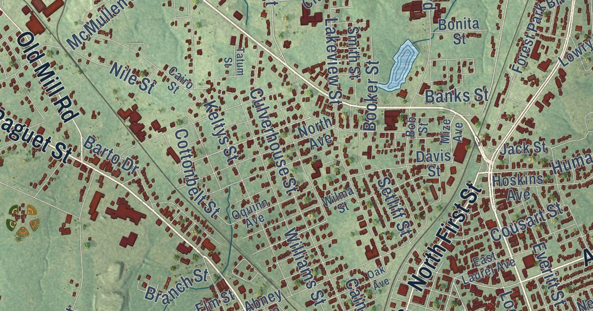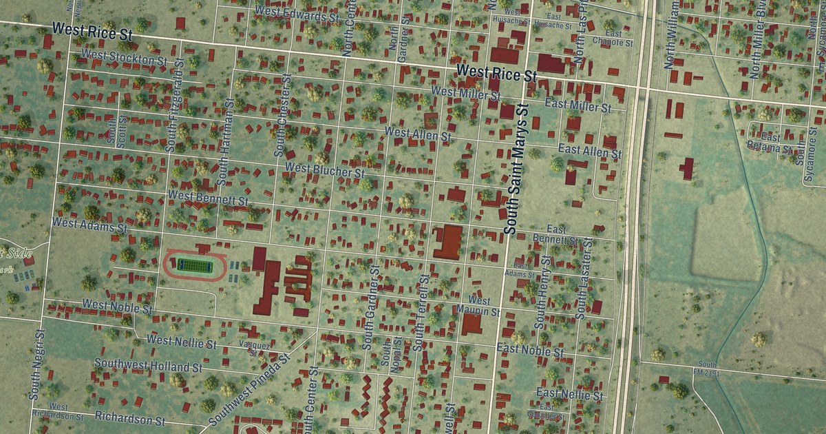
This beautifully detailed map of Falfurrias, Texas was created in 2026 using aerial imagery combined with modern topographical, census, street and landmark data. It’s a one-of-a-kind view of Falfurrias that combines accurate data with a vintage aesthetic. The map shows every building in its true location, many of the roads carry their names, and the shaded topographic relief shows the shape of the land.
Explore an aerial view of Falfurrias, Texas
On the map you’ll find Victory Place Colonia, West Side Park, and Falfurrias Park, along with South US Highway 281, South Saint Marys Street, East Rice Street, West Rice Street, North Saint Marys Street, Taylor Road, Pineda Street, East Noble Street, South Negri Street, and more. If you look closely you can even find your house accurately drawn in its correct location. Zoom in on the preview to look for yours.
Did you know this piece of Falfurrias, Texas history?
From the Handbook of Texas: "Lasater established a creamery operation in 1909; he imported purebred Jersey dairy cattle to his ranch and eventually built what was said to be the largest Jersey herd in the world."
Take a closer look at the Falfurrias map
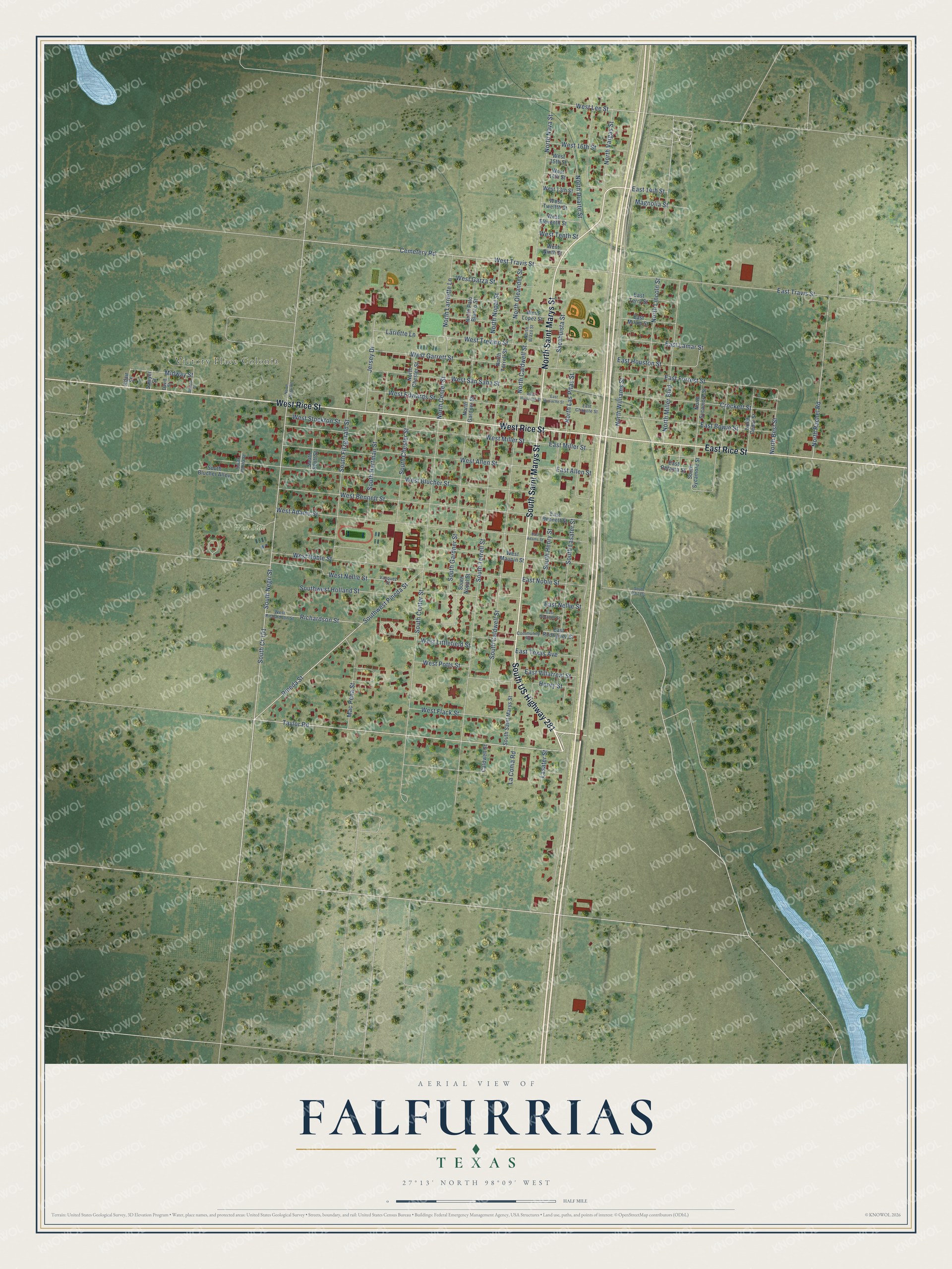
Street and place names on the Falfurrias, Texas map
These names are printed on the map of Falfurrias, Texas.
Places: Victory Place Colonia, West Side Park and Falfurrias Park.
Streets and roads: South US Highway 281, South Saint Marys Street, East Rice Street, West Rice Street, North Saint Marys Street, Taylor Road, Pineda Street, East Noble Street, South Cr 101, South Negri Street, East Travis Street, West Lee Street.
More street names, A to Z
Adair Street, Caldwell Street, Cemetery Road, Community Road, Crockett Street, David Street, East 14th Street, East Adams Street, East Allen Street, East Bennett Street, East Bowie Street, East Chapote Street, East Forrest Street, East Gonzales Street, East Houston Street, East Huisache Street, East Lamar Street, East Milam Street, East Miller Street, East Nellie Street, East Retama Street, East Rodriguez Street, East Terry Street, East Texas Avenue, East Villarreal Street, Henry Street, Jersey Drive, La Coma Road, Lariette Lane, Lasater Street, Mac Pena Street, Magnolia Street, Midway Street, North Best Street, North Brazil Street, North Caldwell Street, North Cedar Street, North Center Street, North Chester Street, North Duarte Street, North Gardner Street, North Larriette Lane, North Las Pitas Street, North Lincoln Street, North Miller Boulevard, North Nava Street, North Negri Road, North Nopal Street, North Oleander Street, North Palo Blanco Street, North Rachel Road, North Sycamore Street, North Terrell Street, North Vargas Street, North Williams Street, Richardson Street, Sacahuista Street, Sawyer Street, Sidney Street, South Albina Street, South Blucher Alley, South Caldwell Street, South Center Street, South Chester Street, South Fitzgerald Street, South FM 2191, South Gardner Street, South Hartman Street, South Henry Street, South Lasater Street, South Nopal Street, South Scott Street, South Sycamore Street, South Terrell Street, Southwest Holland Street, Southwest Pineda Street, Vasquez Street, West 13th Street, West 14th Street, West 15th Street, West 16th Street, West Adams Street, West Allen Street, West Bennett Street, West Blucher Street, West Edwards Street, West Eleventh Street, West Flack Street, West Garrett Street, West Garza Street, West Huisache Street, West Littlefield Street, West Lopez Street, West Maupin Street, West Miller Street, West Nellie Street, West Ninth Street, West Noble Street, West Potts Street, West Richardson Street, West San Saba Street, West Stockton Street, West Tenth Street, West Travis Street, West Trevino Street, West Twelfth Street.
See the Falfurrias, Texas map on a wall
The Falfurrias map as an 18 x 24 inch print in a black frame.

This beautifully detailed map of Falfurrias makes an attractive addition to your office, library, or den, and it can even be used to teach children the geography and history of the area. It also makes a great gift for someone who left Falfurrias and still calls it home. When you’re done exploring, click here to get your copy of the Falfurrias map.