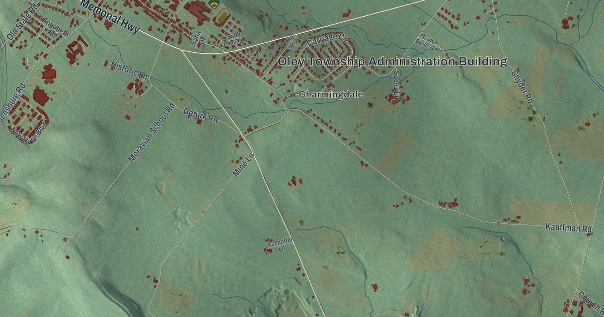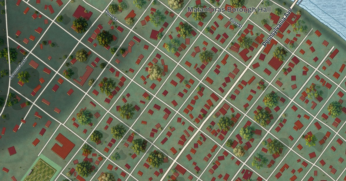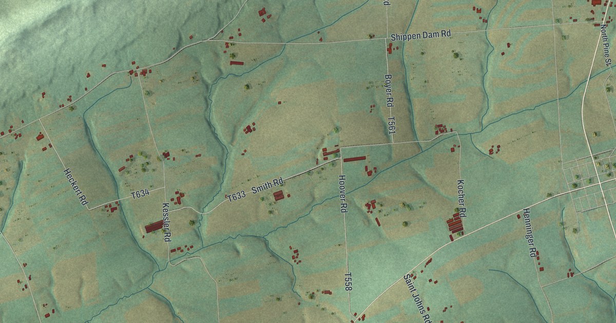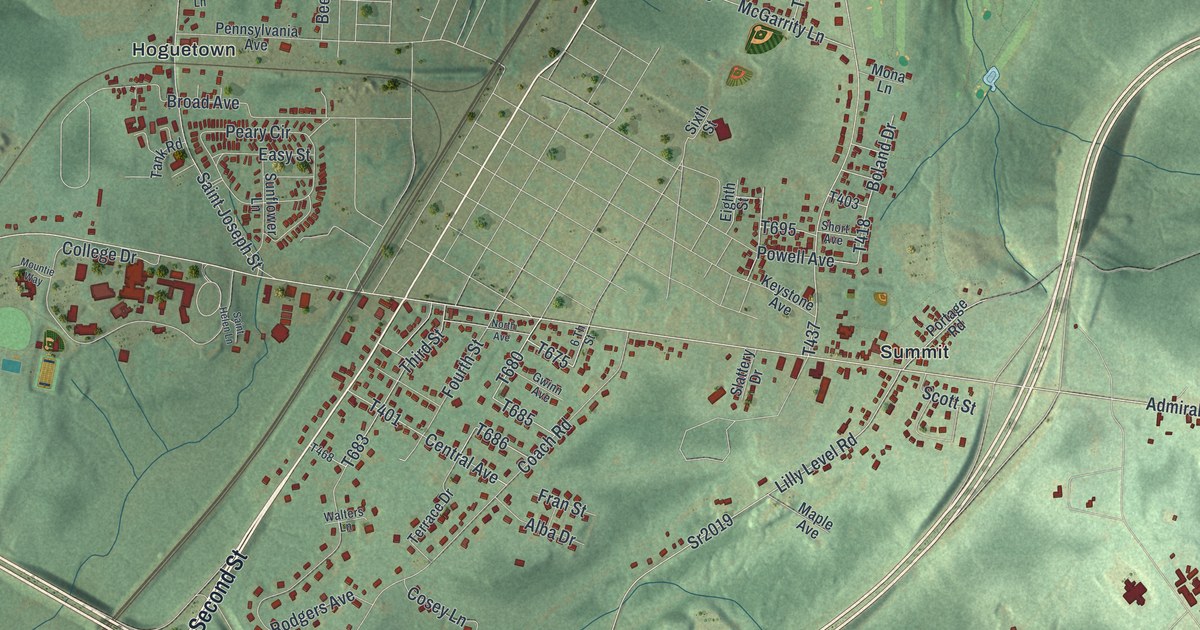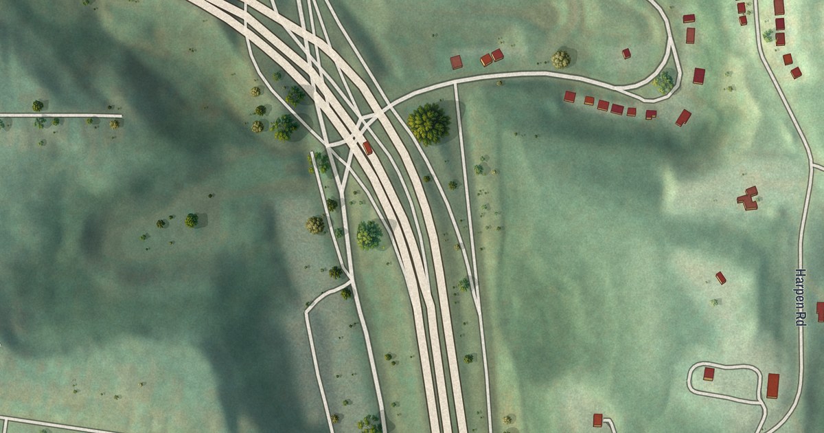
If you grew up in Summer Hill, look for your old street here. It's a modern aerial view with a vintage feel. This aerial map of Summer Hill in Allegheny County, Pennsylvania has a vintage feel. Red buildings line pale streets, with green slopes between the blocks.
Ivory Avenue and McKnight Road
On this map you'll find McKnight Road, Ivory Avenue, Evergreen Road, Mount Troy Road Extended, Nelson Run Road, Venture Street, Valley View Street, Cerise Street, Sirius Street, Chapin Street, Colby Street, Faber Street, and more. Each red shape is a building, so zoom in on the preview and look for yours.
The map was built from public data from the USGS and the Census Bureau. McKnight Road runs down the middle of the map, with Ivory Avenue crossing it, so the streets you drove every day are easy to find. The hills give it shape. Rows of small red buildings sit on green ground above dark hollows. Around Ivory Avenue, short streets hold close rows of homes. Farther across the sheet, the blocks give way to broad green slopes.
Summer Hill on Your Wall
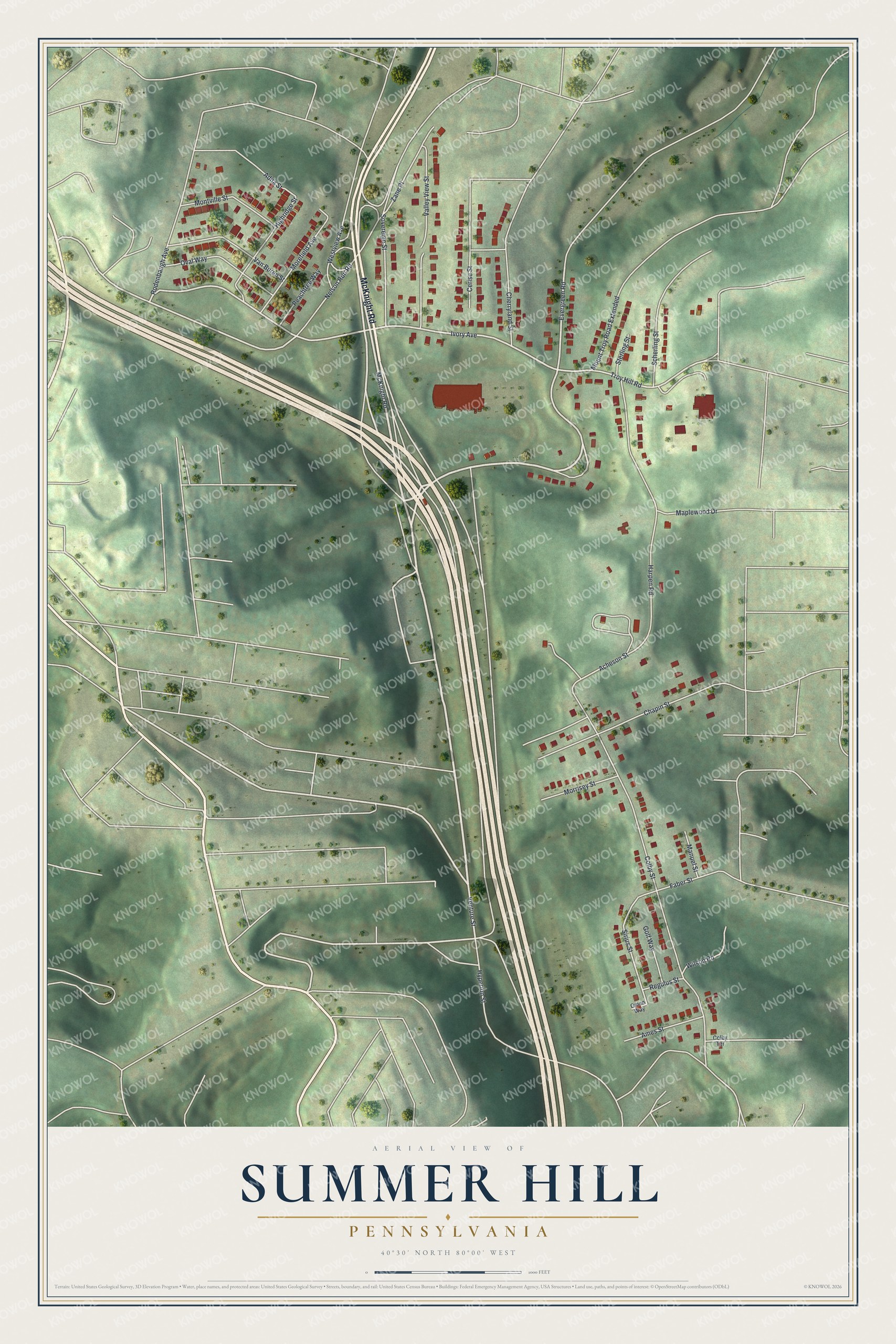
Created by KNOWOL in 2026, the print pairs green shaded hills with red buildings and fine, pale roads. A cream border surrounds the view. The title panel reads AERIAL VIEW OF SUMMER HILL, PENNSYLVANIA, with 40°30' NORTH 80°00' WEST below.
Hang it in a living room, home office or entryway. It's a gift for someone who grew up near Ivory Avenue and wants to keep home close. Open the preview and look for the streets you know. See sizes and frames for the Summer Hill map.