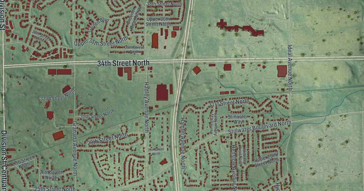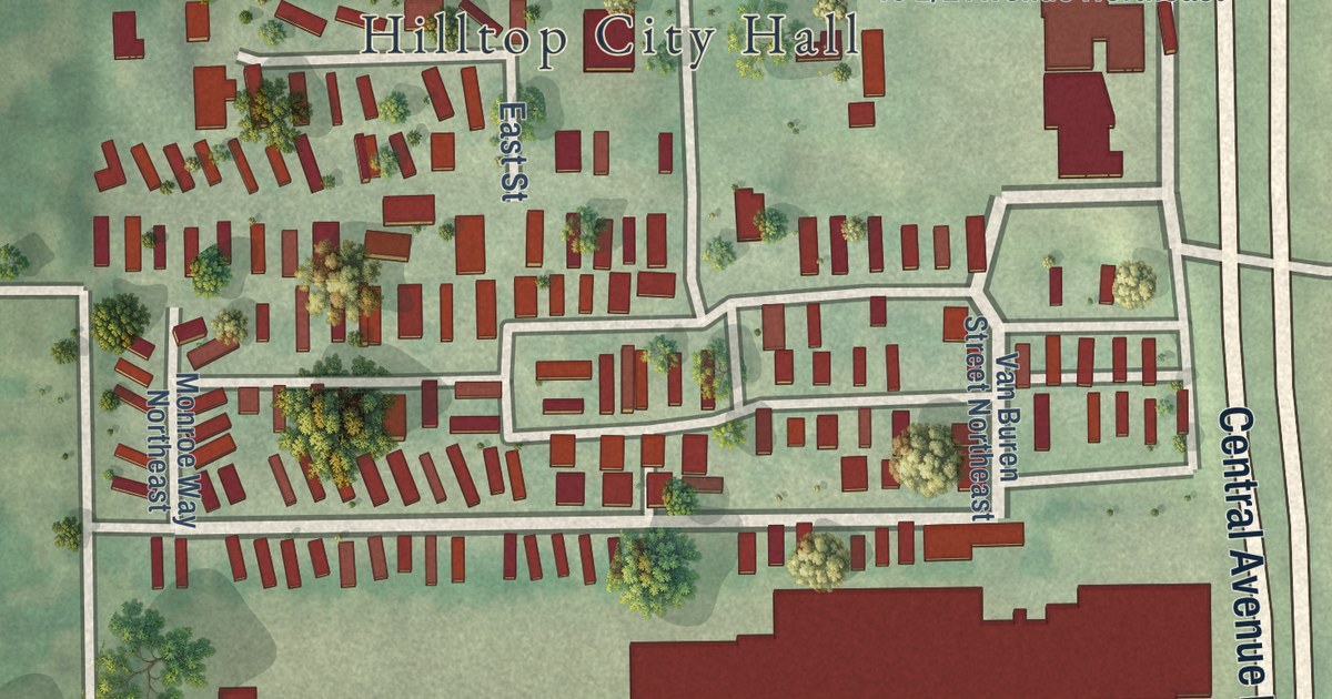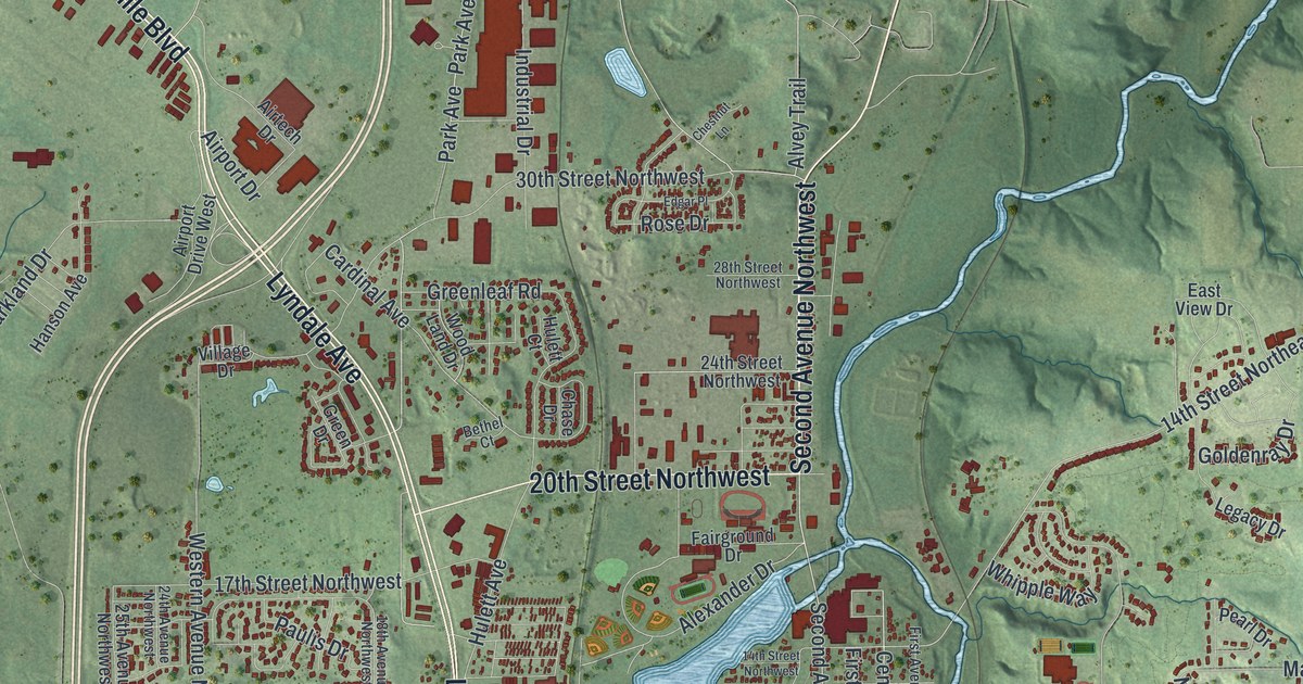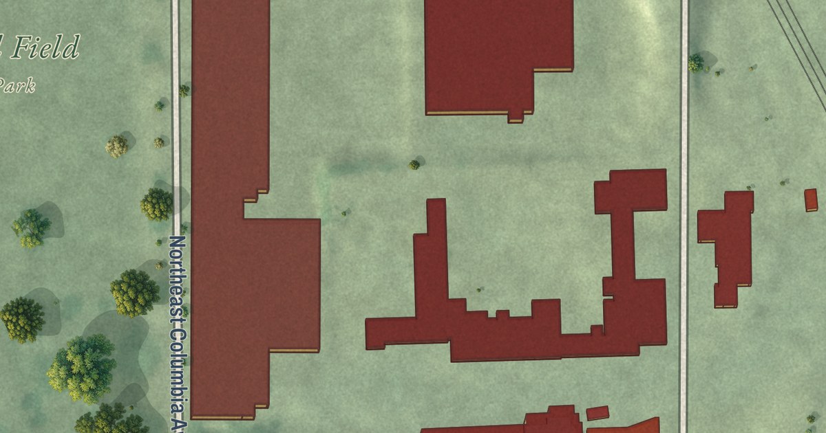
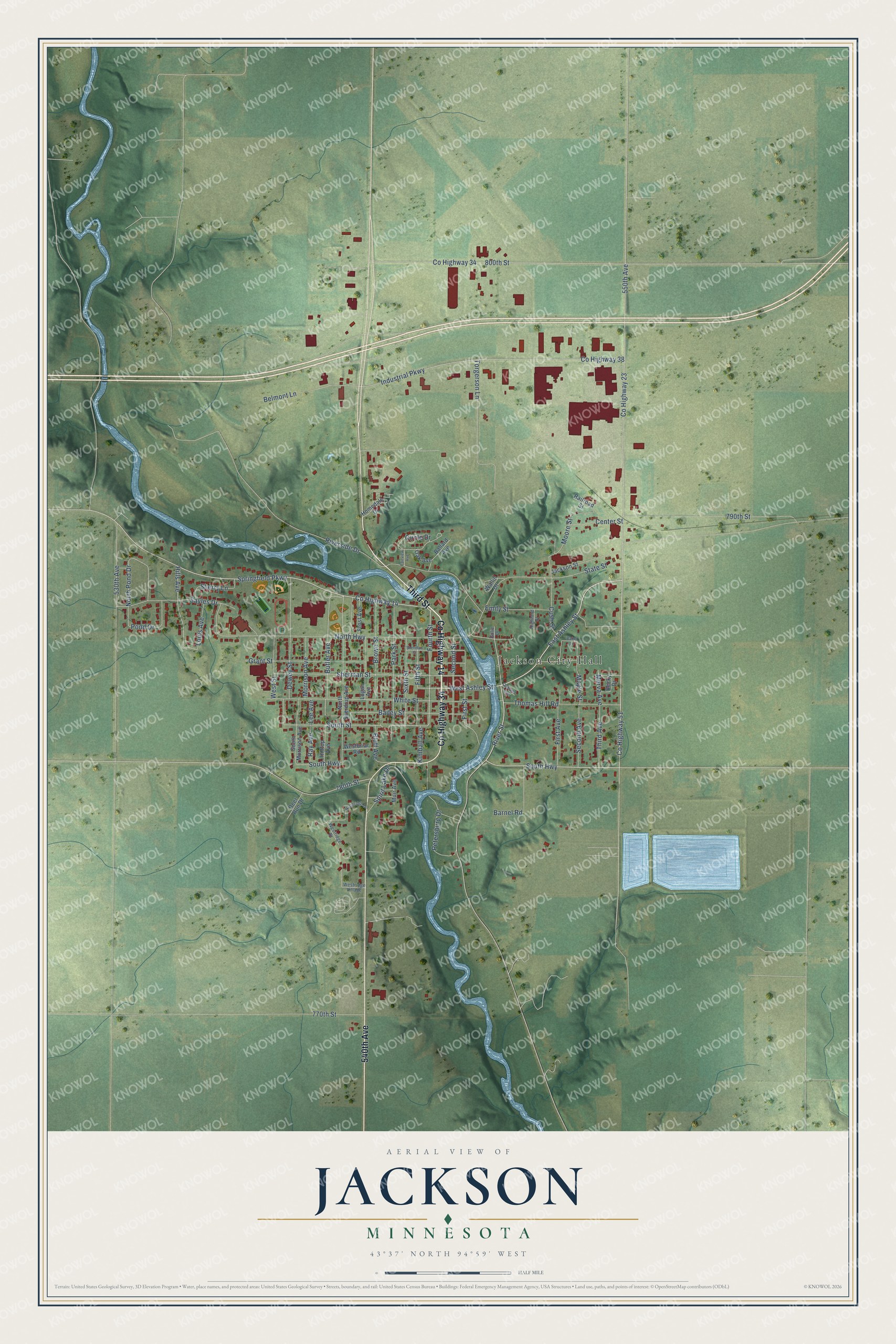
This beautifully detailed map of Jackson, Minnesota was created in 2026 using aerial imagery combined with modern topographical, census, street and landmark data. It’s a one-of-a-kind view of Jackson that combines accurate data with a vintage aesthetic. The map shows every building in its true location, many of the roads carry their names, and the shaded topographic relief shows the shape of the land.
Explore an aerial view of Jackson, Minnesota
On the map you’ll find Jackson City Hall, Benes Recreation Area, and Ashley Park, along with County Highway 14, Third Street, County Highway 34, 540th Avenue, County Highway 23, County Highway 51, South Highway, East Ashley Street, Fourth Street, and more. If you look closely you can even find your house accurately drawn in its correct location. Zoom in on the preview to look for yours.
Did you know this piece of Jackson, Minnesota history?
From Warren Upham’s 1920 Minnesota Geographic Names: "Jackson village, the county seat, is on the site of the earliest white settlement within the area of this county, founded and named Springfield in the summer of 1856."
Take a closer look at the Jackson map
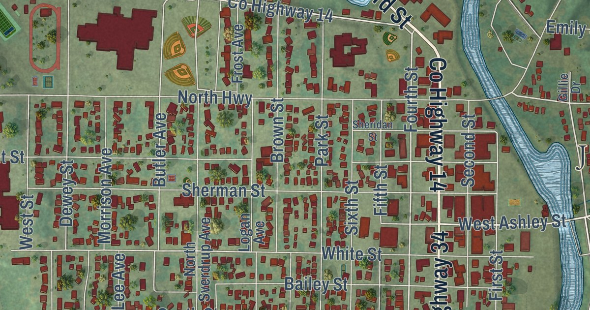
Street and place names on the Jackson, Minnesota map
These names are printed on the map of Jackson, Minnesota.
Places: Jackson City Hall.
Streets and roads: County Highway 14, Third Street, County Highway 34, 540th Avenue, County Highway 23, County Highway 51, South Highway, East Ashley Street, Fourth Street, South Street, River Street, Springfield Parkway.
More street names, A to Z
530th Avenue, 550th Avenue, 770th Street, 780th Street, 790th Street, 800th Street, Bailey Street, Baker Lane, Ballard Avenue, Barnel Road, Becky Drive, Belmont Lane, Bluff Avenue, Brown Street, Butler Avenue, Center Street, Circle Drive, County Highway 38, Cush Street, Deer Run Drive, Dewey Street, Emily Street, Fairview Avenue, Fifth Street, First Avenue, First Street, Frost Avenue, Gillie Drive, Grant Street, Highland Street, Hills Avenue, Hilltop Avenue, Homedale Drive, Industrial Parkway, Jackson Street, Kimball Avenue, Lee Avenue, Logan Avenue, Louis Avenue, Maple Street, Merva Avenue, Moore Street, Morrison Avenue, Muir Avenue, North Highway, North Pond Drive, Northridge Drive, North Sverdrup Avenue, Oak Avenue, Oakland Avenue, Park Street, Petersburg Drive, Pond Drive, Railroad Street, Ray Avenue, Riverside Drive, Sayles Drive, Second Avenue, Second Street, Sheridan Street, Sherman Street, Sherry Lane, Sixth Street, South Morrison Avenue, Spirit Lake Drive, State Street, Third Avenue, Thomas Hill Road, Torgerson Lane, Wallin Drive, West Ashley Street, Westbriar Road, Westridge Drive, Westridge Village, West Street, White Street.
See the Jackson, Minnesota map on a wall
The Jackson map as an 18 x 24 inch print in a black frame.

This beautifully detailed map of Jackson makes an attractive addition to your office, library, or den, and it can even be used to teach children the geography and history of the area. It also makes a great gift for anyone with Jackson roots. When you’re done exploring, click here to get your copy of the Jackson map.