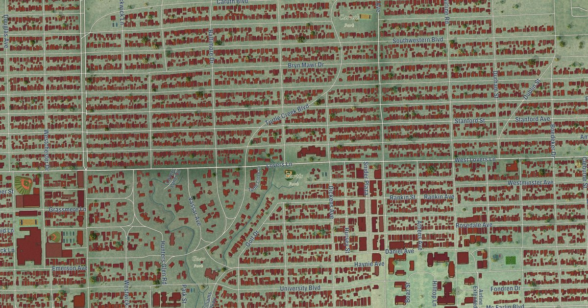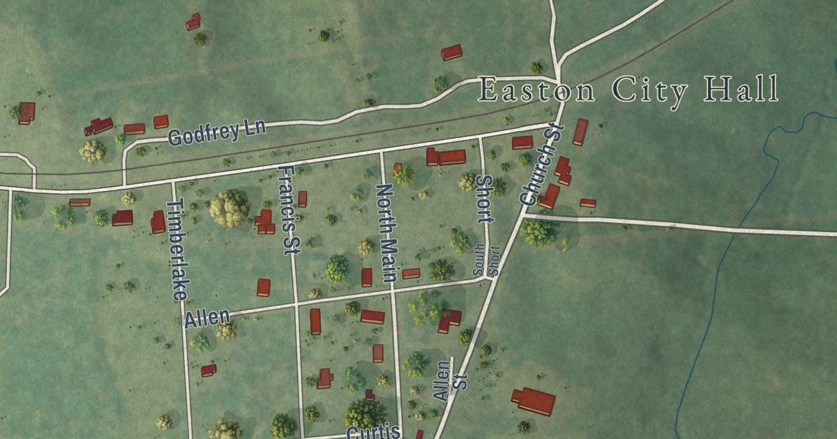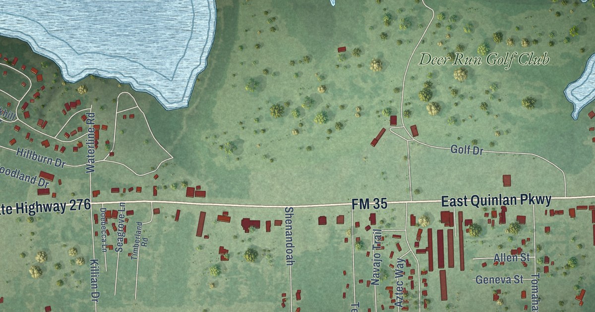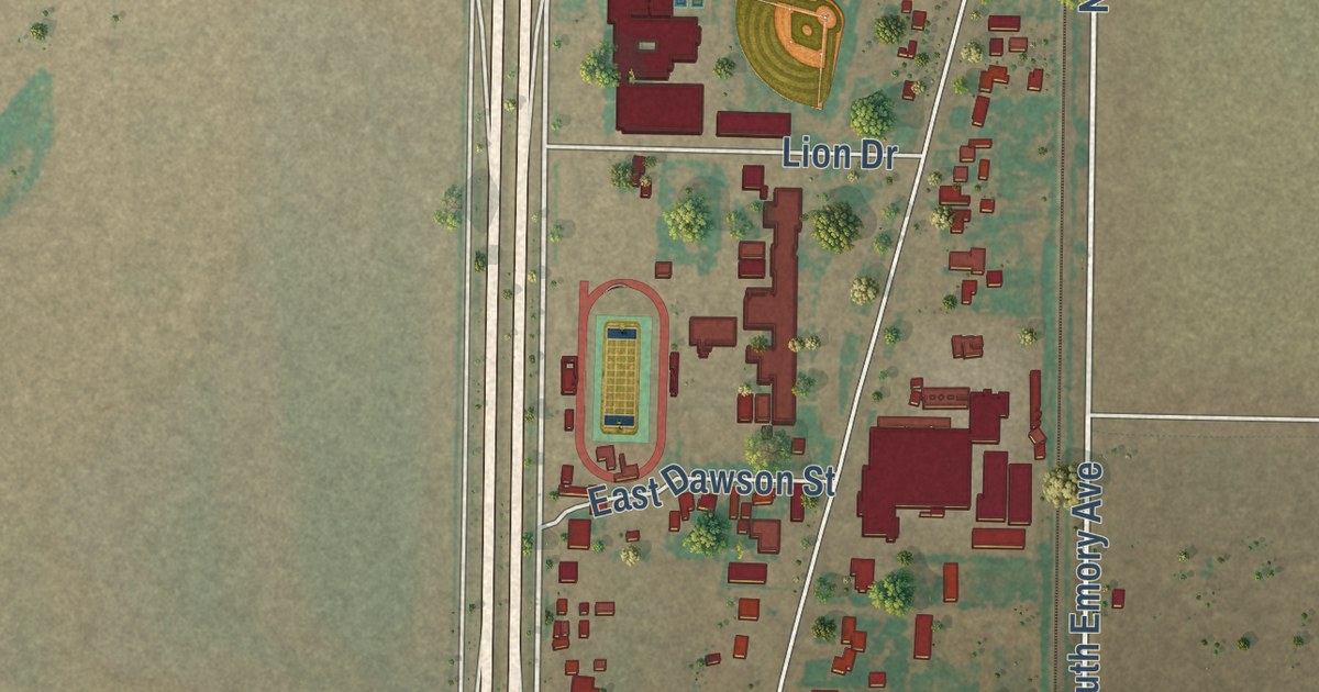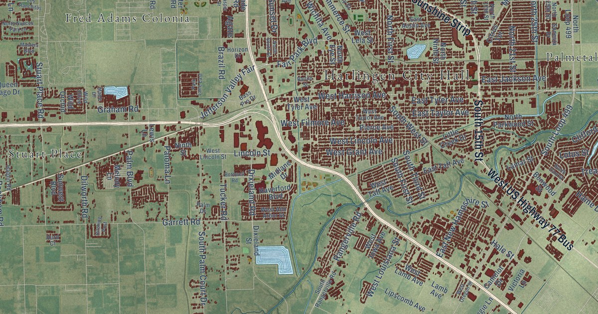
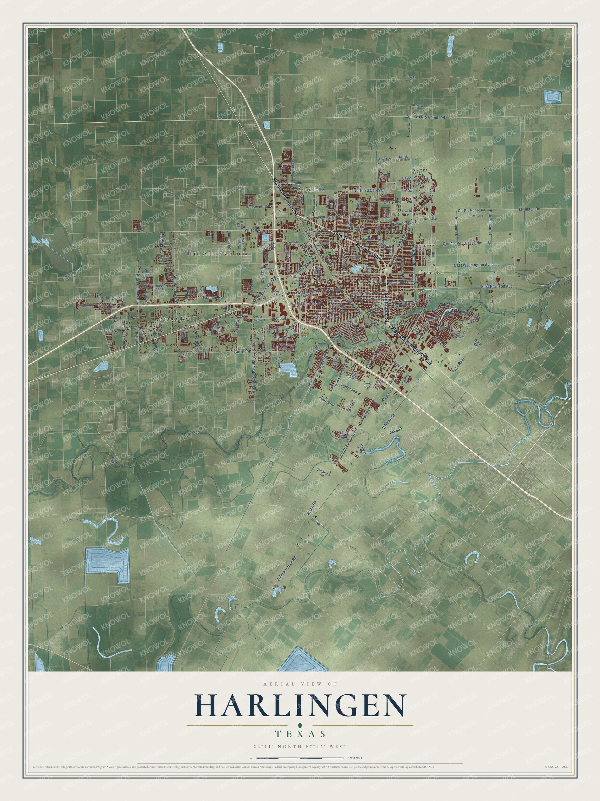
This beautifully detailed map of Harlingen, Texas was created in 2026 using aerial imagery combined with modern topographical, census, street and landmark data. It’s a one-of-a-kind view of Harlingen that combines accurate data with a vintage aesthetic. The map shows every building in its true location, many of the roads carry their names, and the shaded topographic relief shows the shape of the land.
Explore an aerial view of Harlingen, Texas
On the map you’ll find Harlingen City Hall, Avondale, Fred Adams Colonia, Palmetal, Stuart Place, West US Highway 77 Bus, and Sunshine Strip, along with 15th Street, North Commerce Street, South 15th Street, North First Street, East Tyler Avenue, and more. If you look closely you can even find your house accurately drawn in its correct location. Zoom in on the preview to look for yours.
Did you know this piece of Harlingen, Texas history?
From the Handbook of Texas: "The first school opened with fifteen pupils in 1905 near the Hill home, the first residence built in Harlingen."
Take a closer look at the Harlingen map
Street and place names on the Harlingen, Texas map
These names are printed on the map of Harlingen, Texas.
Places: Harlingen City Hall, Avondale, Fred Adams Colonia, Palmetal and Stuart Place.
Streets and roads: 15th Street, West US Highway 77 Bus, North Commerce Street, Sunshine Strip, South 15th Street, North First Street, East Tyler Avenue, East Jackson Avenue, West Harrison Avenue, Hale Street, East Matz Avenue, Treasure Hills Boulevard.
More street names, A to Z
32nd Street, Academy Drive, Agate, Altas Palmas Road, Amistad Road, Baker Potts Road, Bartola Subdivision, Barton Street, Bass Boulevard, Bass Pro Drive, Beckham Road, Benwood Street, Bob Youker Street, Bothwell Road, Brazil Road, Camelot Drive, Carrol Avenue, Chester Park Road, Christian Circle, Citrus Terrace, Clifford Street, Combes Rio Hondo Road, Crossett Road, Cypress Gardens, Date Palm, Dennis Road, Dilworth Road, Dixieland Road, Dixieland Street, Dogwood, Drury Road, East Austin Avenue, East Grimes Street, East Harrison Avenue, East New Hampshire Street, East Palm Boulevard, East Taft Avenue, East Taylor Avenue, East Vinson Avenue, East Washington Avenue, East Williamson Avenue, El Cielo Lindo Court, Fair Park Boulevard, Fairway Lane, Faoulty Drive, Findley Street, First Street, FM 106, FM 509, FM 675, Fresno, Garrett Road, Gayle Avenue, Graham Road, Grimes Road, Haine Drive, Halpin Road, Hand Road, Hansen Road, Hara Court, Harlingen Road, Haverford Boulevard, Hick Hill Road, High Street, Hitching Post, Hoening Road, Horizon Drive, Hughes Road, Hurd Court, Jade Road, Jasper Drive, Jefferson Valley Fair, Jeff Street, Jim Bowie Road, Kelly Street, Kingbird Drive, Lago Drive, Lamar Street, Lamb Avenue, Lazy Lake Drive, Lewis Lane, Lincoln Street, Lipscomb Avenue, Little Creek Drive, Los Ranchitos, Lotus Street, Maggie Lane, Maple Drive, Markowsky Avenue, Marshall Avenue, Masters Boulevard, Melody Lane, Midlane Drive, Montezuma Avenue, Morgan Boulevard, Morris Road, New Combes Highway, Ninth Street, Nixon Road, North 13th Street, North 17th Street, North 21st Street, North 25th Street, North 29th Street, North Blake Street, North Breedlove Street, North Ed Carey Drive, North Eye Street, North Loop 499, North Ninth Street, North Nueces Park Lane, North Parkwood Street, North Seventh Street, North South Street, North Third Street, Oak, Ojeda Road, Old Rio Hondo Road, Orange Drive, Palm Boulevard, Palm Drive, Palm Vista Drive, Paloma Lane, Park Bend, Park Lane East, Paso Real, Perkins Road, Phoenix Street, Pierce Avenue, Plantation Drive, Polara Drive, Queen Sago Drive, Raintree Street, Ramsey Road, Rangerville Road, Rebel Drive, Rio Hondo Road, Roosevelt Road, Rose Street, Russell Lane, Seagull Lane, Simmons Road, Sonesta Drive, South 23rd Street, South Ed Carey Drive, South First Street, South Loop 499, South Palm Court Drive, South Rangerville Road, South Tamm Lane, South Third Street, South West Street, Spring Court, Sterling Avenue, Stuart Place Road, Sunset Drive, Sunway Drive, Sunwest Boulevard, Tamm Lane, Tovar Road, Traxler Way, Tucker Road, Victoria Lane, West Ann Arbor Street, West Filmore Avenue, West Grant Avenue, West Iowa Avenue, West Lamb Avenue, West Lela Street, West Lincoln Avenue, West Lincoln Street, West Louisiana Street, West Matz Avenue, West Oregon Street, West Taft Avenue, West Taylor Avenue, West Tyler Avenue, Whalen Drive, White Oak Drive West, Wichita Avenue, Wild Olive, Wild Orchid, Willow Circle, Wilson Road, Woodall Street, Yucca Drive, Zillock Ranch Road.
See the Harlingen, Texas map on a wall
The Harlingen map as an 18 x 24 inch print in a black frame.

This beautifully detailed map of Harlingen makes an attractive addition to your office, library, or den, and it can even be used to teach children the geography and history of the area. It also makes a great gift for anyone with Harlingen roots. When you’re done exploring, click here to get your copy of the Harlingen map.