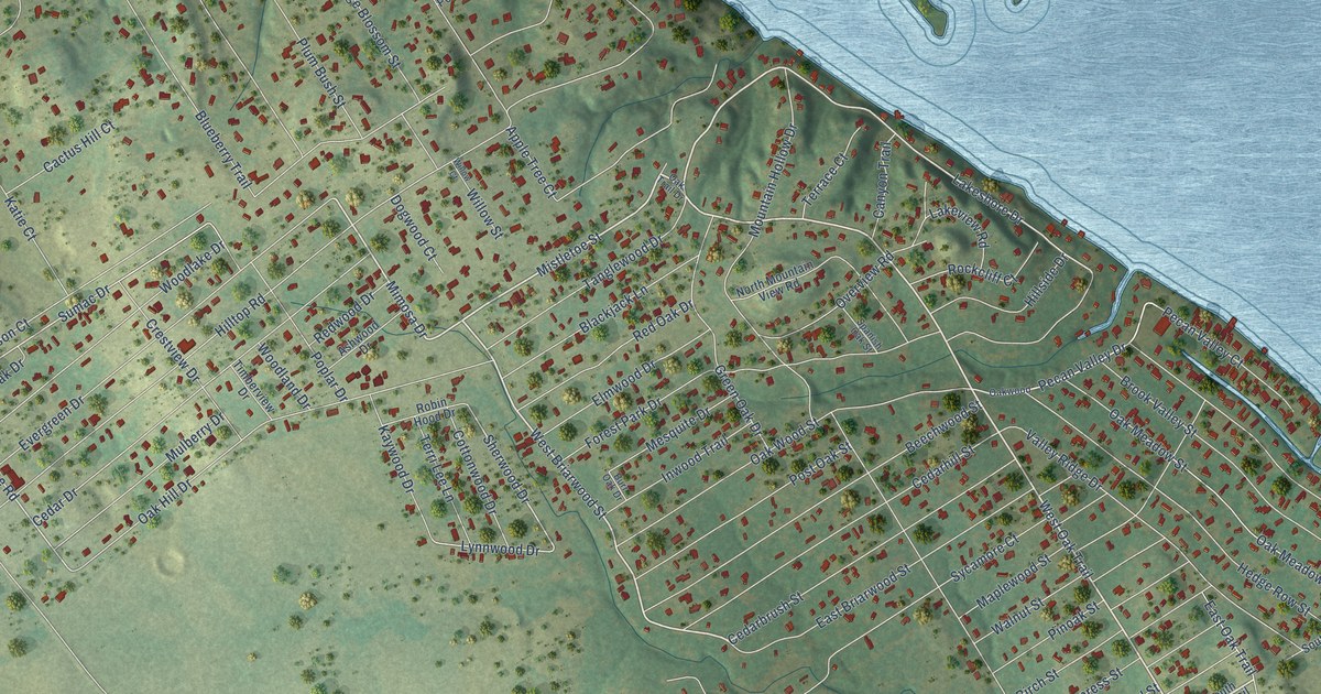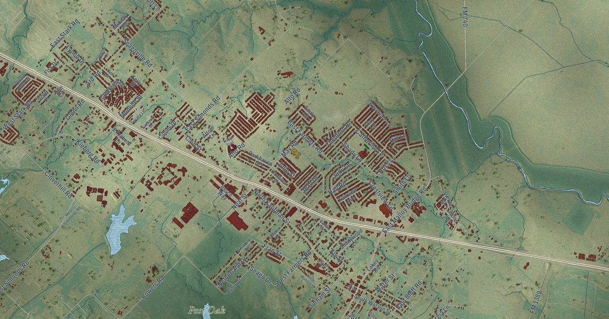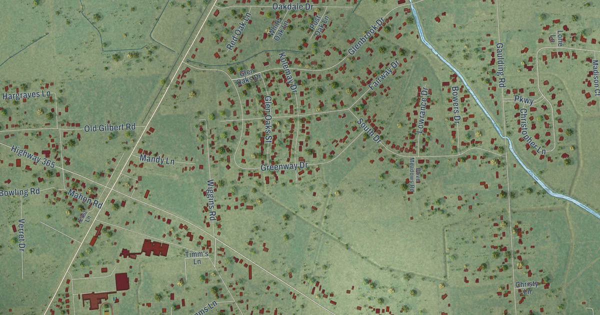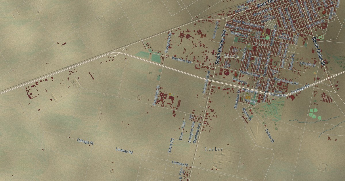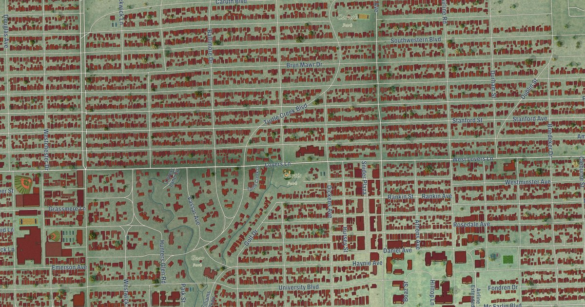
This beautifully detailed map of University Park, Texas was created in 2026 using aerial imagery combined with modern topographical, census, street and landmark data. It’s a one-of-a-kind view of University Park that combines accurate data with a vintage aesthetic. The map shows every building in its true location, many of the roads carry their names, and the shaded topographic relief shows the shape of the land.
Explore an aerial view of University Park, Texas
On the map you’ll find Curtis Park, Caruth Park, and Goar Park, along with State Loop 12, Preston Road, Northwest Parkway, West Northwest Highway, West Northwest Parkway, Mc Farlin Boulevard, Lovers Lane, Bishop Boulevard, West Lovers Lane, and more. If you look closely you can even find your house accurately drawn in its correct location. Zoom in on the preview to look for yours.
Did you know this about University Park, Texas?
From the Handbook of Texas: "The cities of Dallas and Highland Park refused to annex the University Park area because of the financial burden of laying new sewer lines and supplying garbage removal and police and fire protection."
Take a closer look at the University Park map
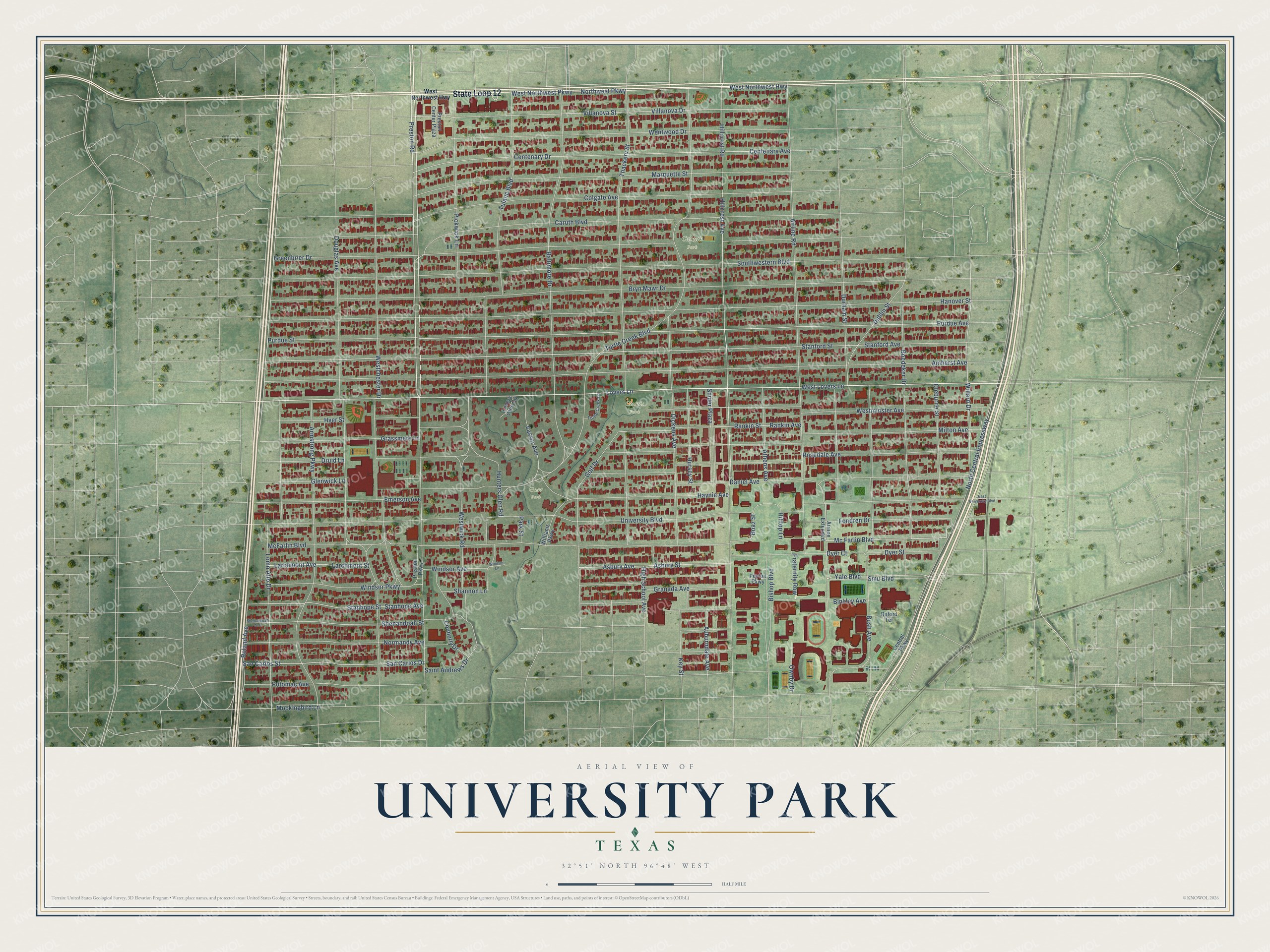
Street and place names on the University Park, Texas map
These names are printed on the map of University Park, Texas.
Places: Curtis Park, Caruth Park and Goar Park.
Streets and roads: State Loop 12, Preston Road, Northwest Parkway, West Northwest Highway, West Northwest Parkway, Mc Farlin Boulevard, Lovers Lane, Bishop Boulevard, West Lovers Lane, Lomo Alto Drive, Willard Drive, University Boulevard.
More street names, A to Z
Airline Extended, Airline Road, Amherst Avenue, Armstrong Parkway, Asbury Avenue, Asbury Street, Athens Avenue, Auburndale Avenue, Baltimore Drive, Binkley Avenue, Boaz Street, Boedeker Drive, Bryn Mawr Drive, Bush Avenue, Caruth Boulevard, Centenary Avenue, Centenary Drive, Central Parkway, Cleburne Street, Colgate Avenue, Connerly Drive, Daniel Avenue, Dickens Avenue, Douglas Avenue, Druid Lane, Dublin Street, Durham Street, Dyer Court, Dyer Street, East University Boulevard, Emerson Avenue, Fondren Drive, Fraternity Row, Glenwick Lane, Golf Drive, Granada Avenue, Grassmere Lane, Greenbrier Drive, Hanover Street, Haynie Avenue, High School Avenue, Hillcrest Avenue, Hillcrest Road, Hilltop Lane, Hunters Glen Road, Hursey Street, Hyer Street, Key Street, Larchmont Avenue, Larchmont Street, Lovers Lane Circle, Marquette Street, McFarlin Boulevard, Milton Avenue, Mockingbird Lane, Normandy Avenue, North Central Expressway, Ownby Drive, Oxford Terrace, Park Street, Peyton Parkway, Pickwick Lane, Potomac Avenue, Preston Center Plaza, Preston Parkway, Purdue Avenue, Purdue Street, Rankin Avenue, Rankin Street, Roland Avenue, Rosedale Avenue, Saint Andrews Drive, San Carlos Drive, San Carlos Street, Shannon Lane, Shenandoah Avenue, Shenandoah Street, Smu Boulevard, Snider Plaza, Southwestern Boulevard, Stanford Avenue, Stanford Street, Stanhope Avenue, Stanhope Street, Thackery Street, Tulane Boulevard, Turtle Creek Boulevard, Turtle Creek Lane, Vassar Avenue, Villanova Drive, Villanova Street, Wentwood Drive, Westchester Drive, Westminster Avenue, Westwick Road, Williams Parkway, Windsor Avenue, Windsor Lane, Windsor Parkway, Yale Boulevard.
See the University Park, Texas map on a wall
The University Park map as an 18 x 24 inch print in a black frame.

This beautifully detailed map of University Park makes an attractive addition to your office, library, or den, and it can even be used to teach children the geography and history of the area. It also makes a great gift for anyone who grew up in University Park or moved away. When you’re done exploring, click here to get your copy of the University Park map.