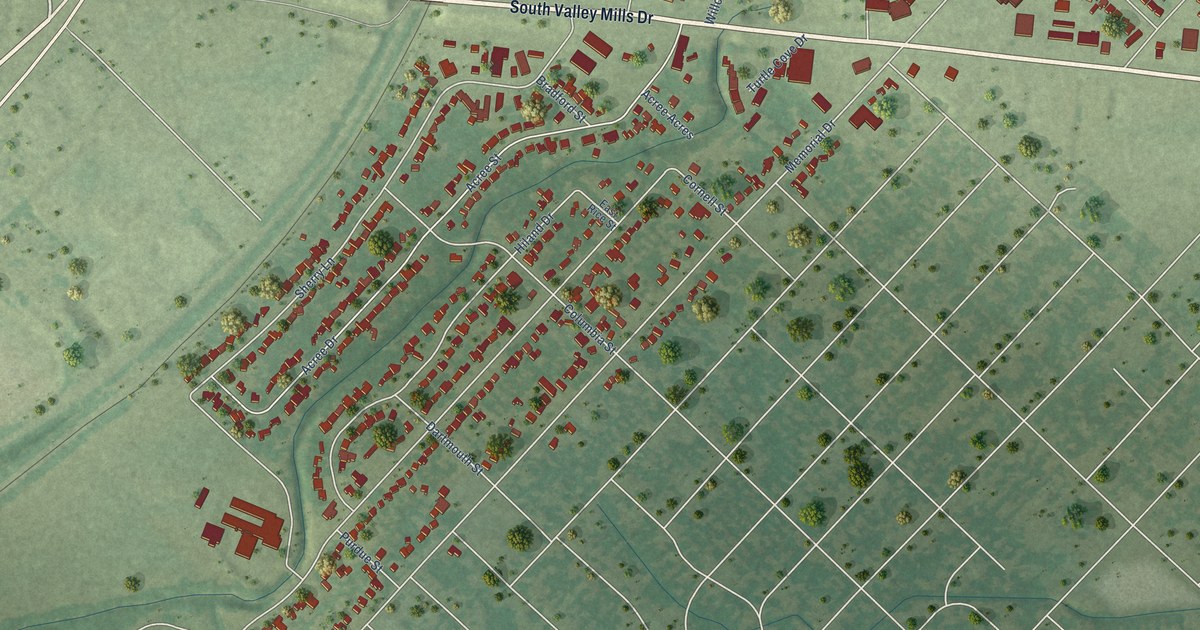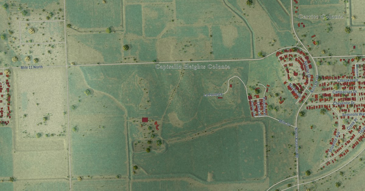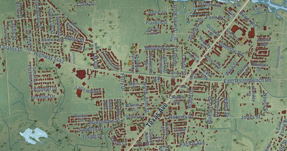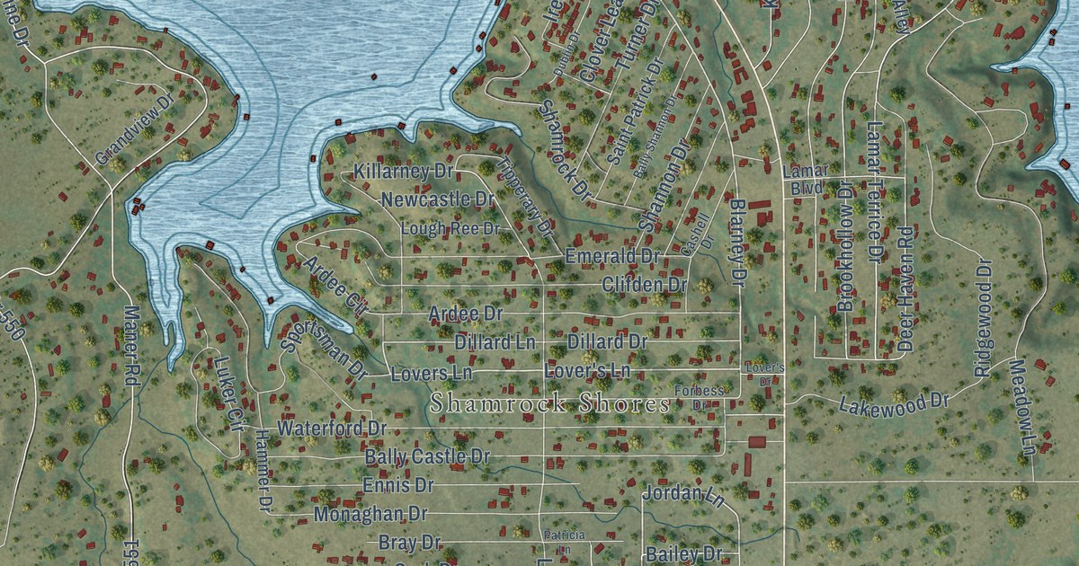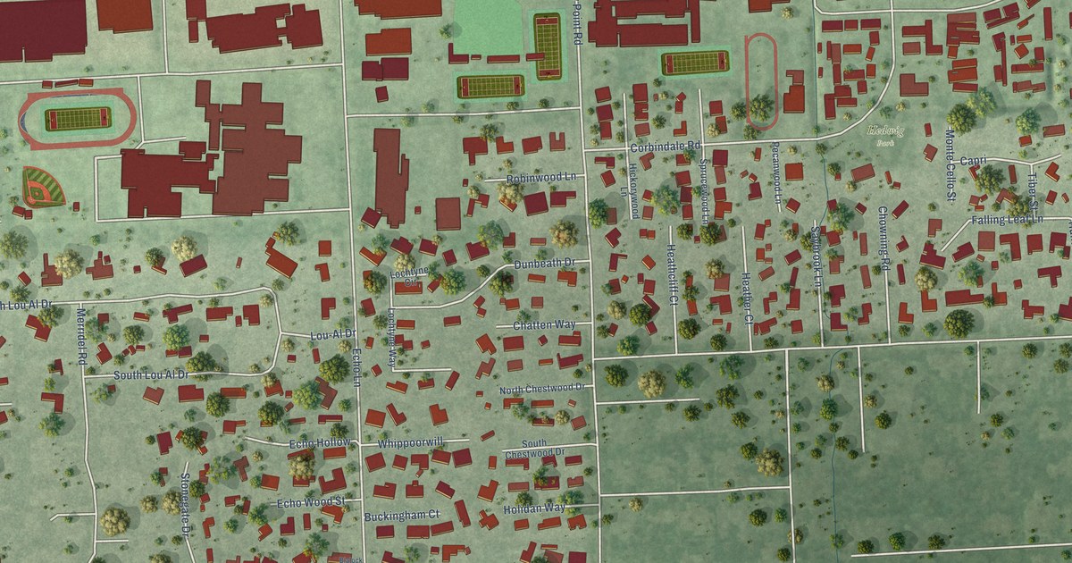
This beautifully detailed map of Hedwig Village, Texas was created in 2026 using aerial imagery combined with modern topographical, census, street and landmark data. It’s a one-of-a-kind view of Hedwig Village that combines accurate data with a vintage aesthetic. The map shows every building in its true location, many of the roads carry their names, and the shaded topographic relief shows the shape of the land.
Explore an aerial view of Hedwig Village, Texas
On the map you’ll find Hedwig Park, along with Hedwig Circle, Merridel Road, Gaylord Drive, Bunker Hill Road, Echo Lane, Taylorcrest Road, Gaylord Street, Denise Drive, Corbindale Road, Magdalene Drive, Brogden Road, and more. If you look closely you can even find your house accurately drawn in its correct location. Zoom in on the preview to look for yours.
Did you know this piece of Hedwig Village, Texas history?
From the Handbook of Texas: "Hedwig Village, which is governed by a mayor and five councilmen, had two schools, a bank, a library, and two churches by 1966 and completed a park in 1971."
Take a closer look at the Hedwig Village map
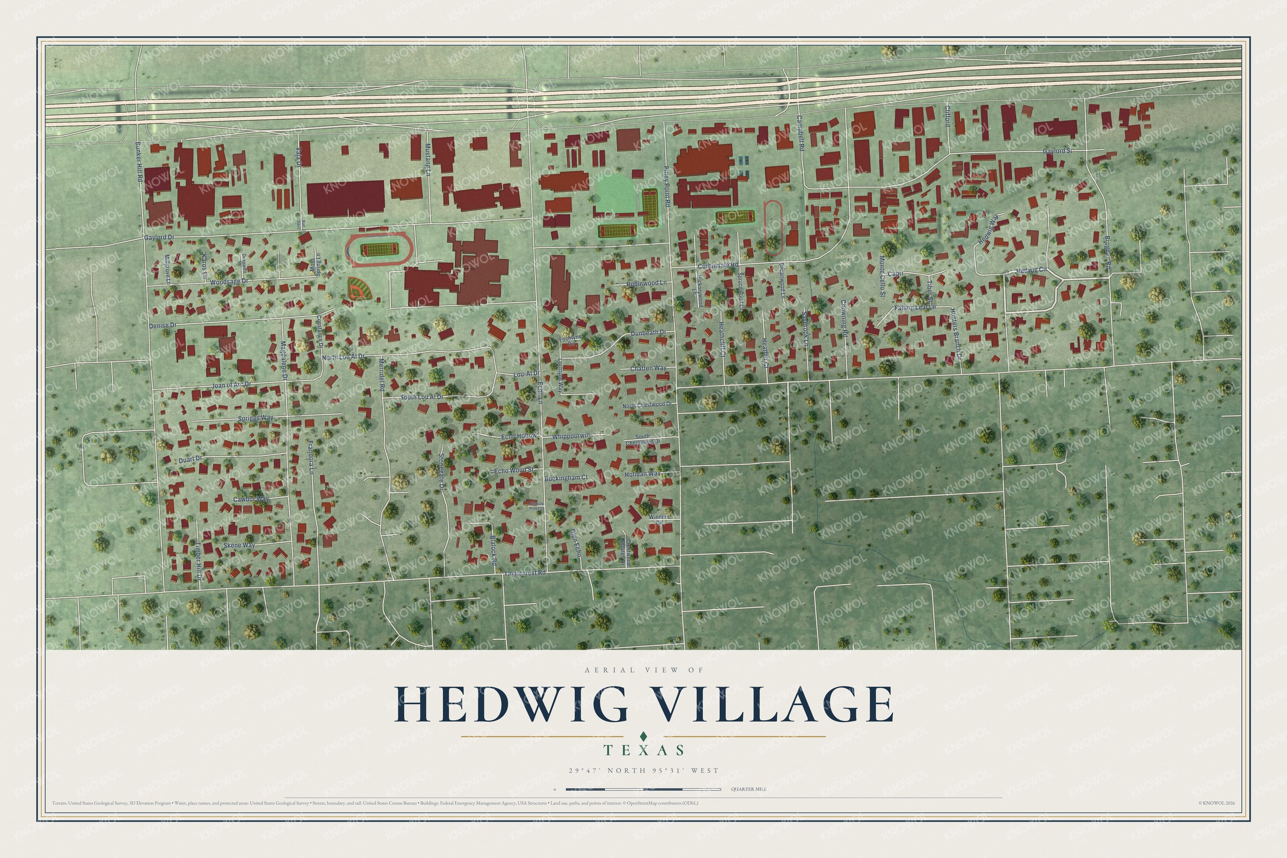
Street and place names on the Hedwig Village, Texas map
These names are printed on the map of Hedwig Village, Texas.
Places: Hedwig Park.
Streets and roads: Hedwig Circle, Merridel Road, Gaylord Drive, Bunker Hill Road, Echo Lane, Taylorcrest Road, Gaylord Street, Denise Drive, Corbindale Road, Magdalene Drive, Brogden Road, Piney Point Road.
More street names, A to Z
Ball Chase, Blalock Pines Court, Blalock Road, Buckingham Court, Campbell Road, Capri, Cawdor Way, Chatten Way, Chowning Road, Clifford, Constance Drive, Crestwood Estates Drive, Deepwell Lane, Duart Drive, Dunbeath Drive, Echo Hollow, Echo Wood Street, Falling Leaf Lane, Frandora Lane, Glen Echo, Heathcliff Court, Heather Court, Hedwig Way, Hickorywood Lane, Holidan Way, Hunters Branch Drive, Joan of Arc Drive, Karos Lane, Lochtyne Circle, Lochtyne Way, Lou-Al Drive, Millgrove Lane, Monte Cello Street, Moss Spring Lane, Mustang Lane, North Chestwood Drive, North Lou Al Drive, Pecanwood Lane, Robinwood Lane, Saybrook Lane, Skene Way, South Chestwood Drive, South Lou Al Drive, Spriggs Way, Sprucewood Lane, Stonegate Drive, Tiber Street, Timber Hill Drive, Vaja Drive, Whippoorwill, Winners Circle, Woodsage Drive.
See the Hedwig Village, Texas map on a wall
The Hedwig Village map as an 18 x 24 inch print in a black frame.

This beautifully detailed map of Hedwig Village makes an attractive addition to your office, library, or den, and it can even be used to teach children the geography and history of the area. It also makes a great gift for anyone who grew up in Hedwig Village or moved away. When you’re done exploring, click here to get your copy of the Hedwig Village map.