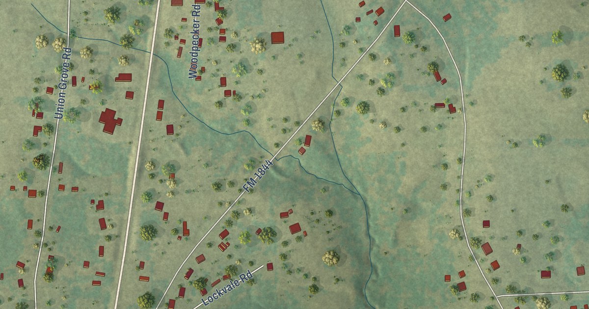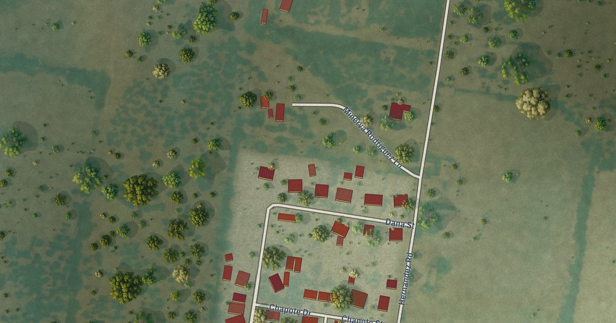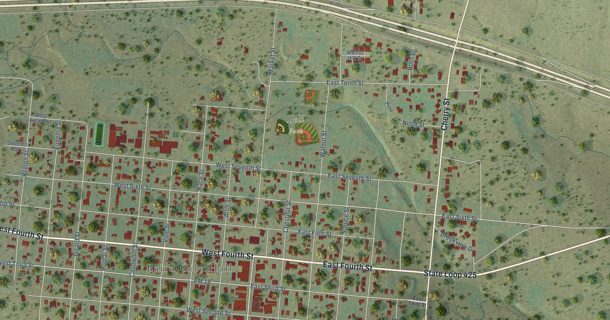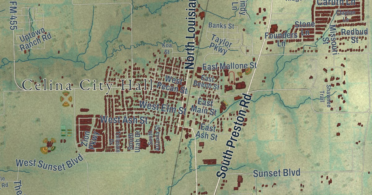
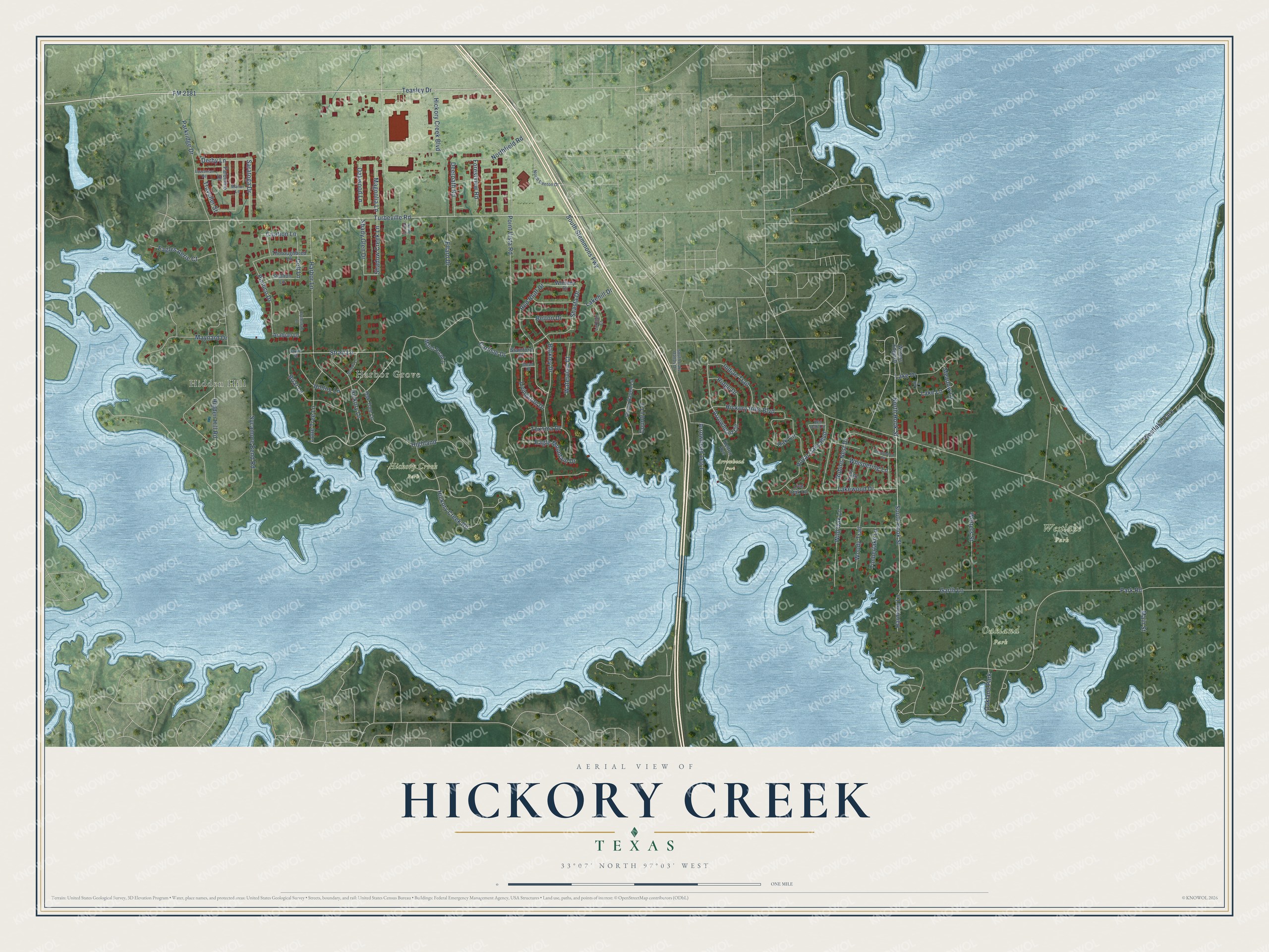
This beautifully detailed map of Hickory Creek, Texas was created in 2026 using aerial imagery combined with modern topographical, census, street and landmark data. It’s a one-of-a-kind view of Hickory Creek that combines accurate data with a vintage aesthetic. The map shows every building in its true location, many of the roads carry their names, and the shaded topographic relief shows the shape of the land.
Explore an aerial view of Hickory Creek, Texas
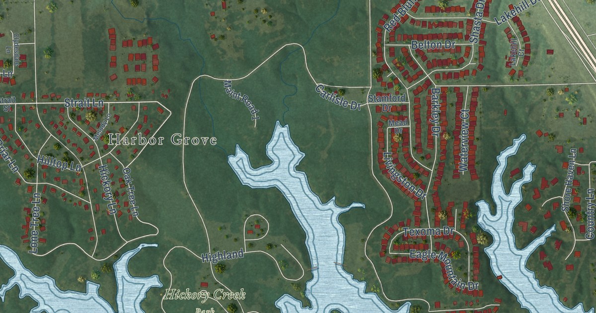
On the map you’ll find Hidden Hill, Harbor Grove, Arrowhead Park, Hickory Creek Park, Oakland Park, Westlake Park, and South Stemmons Fwy, along with Turbeville Road, FM 2181, Teasley Drive, Strait Lane, Indian Trail, and more. If you look closely you can even find your house accurately drawn in its correct location. Zoom in on the preview to look for yours.
Did you know this piece of Hickory Creek, Texas history?
From the Handbook of Texas: "Named for the nearby creek, the community developed in the 1960s and incorporated by 1969."
Take a closer look at the Hickory Creek map
Street and place names on the Hickory Creek, Texas map
These names are printed on the map of Hickory Creek, Texas.
Places: Hidden Hill, Harbor Grove, Arrowhead Park, Hickory Creek Park, Oakland Park and Westlake Park.
Streets and roads: Turbeville Road, FM 2181, Teasley Drive, North Hook Street, South Hook Street, Strait Lane, South Stemmons Fwy, Indian Trail, Arrowhead Circle, Highland, Pimlico Drive, Magnolia Lane.
More street names, A to Z
Arabian Lane, Arrowhead Leg 1, Barkley Drive, Belton Drive, Briar Lane, Carlisle Drive, Chasewood Circle, Citation Lane, Clydesdale Lane, Colt Lane, Country Lane, Deerpath Road, Derby Lane, Eagle Mountain Drive, Eagles Aerie Court, Easy Street, Ellard Drive, Equestrian Road, Forestview Road, Garth Lane, Harbor Lane, Harmony Lane, Hickory Creek Boulevard, Hickory Creek Road, Hickory Hills Boulevard, Hickory Lane, Hidden Hill Road, Hilltop Lane, Kelton Avenue, Lake Drive, Lakehill Court, Lakehill Drive, Lake Lane, Lakewood Drive, Live Oak Lane, Livingston Drive, Lone Tree Lane, Main Street, Maint Road 1, Manor Lane, Maynard Drive, Mead Drive, Meadow Lane, Melody Lane, Noble Oak Court, North Denton Drive, Northfield Road, Oak Circle, Oak Lane, Oak Tree Lane, Oakwood Lane, Palomino Drive, Parkridge Drive, Park Road, Point Vista Road, Red Bluff Drive, Red Oak Circle, Ridge Drive, Robins Nest Drive, Royal Oaks Boulevard, Saratoga Drive, Shadow Creek Lane, Shady Glen Drive, Shasta Drive, Shore Haven Lane, South Lake Dallas Drive, Stallion Lane, Stamford Drive, Strait Street, Sycamore Bend Road, Texoma Drive, Thoroughbred Lane, Timberlake Lane, Traveller Street, Waters Edge Drive, Waterview Court, Whispering Lane, Whitney Drive, Wild Oak Lane, Wolters Street, Woody Trail.
See the Hickory Creek, Texas map on a wall
The Hickory Creek map as an 18 x 24 inch print in a black frame.

This beautifully detailed map of Hickory Creek makes an attractive addition to your office, library, or den, and it can even be used to teach children the geography and history of the area. It also makes a great gift for anyone with Hickory Creek roots. When you’re done exploring, click here to get your copy of the Hickory Creek map.