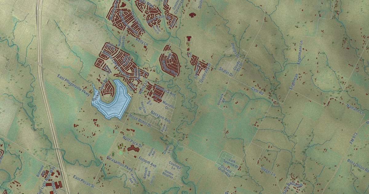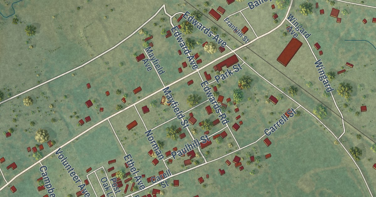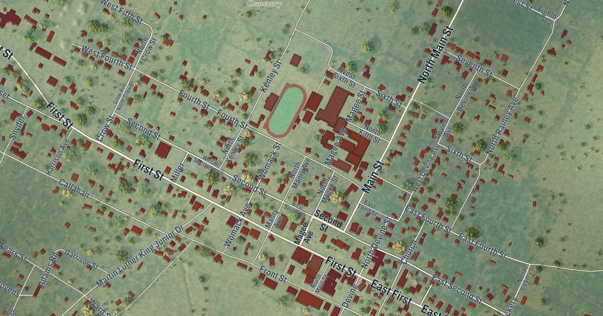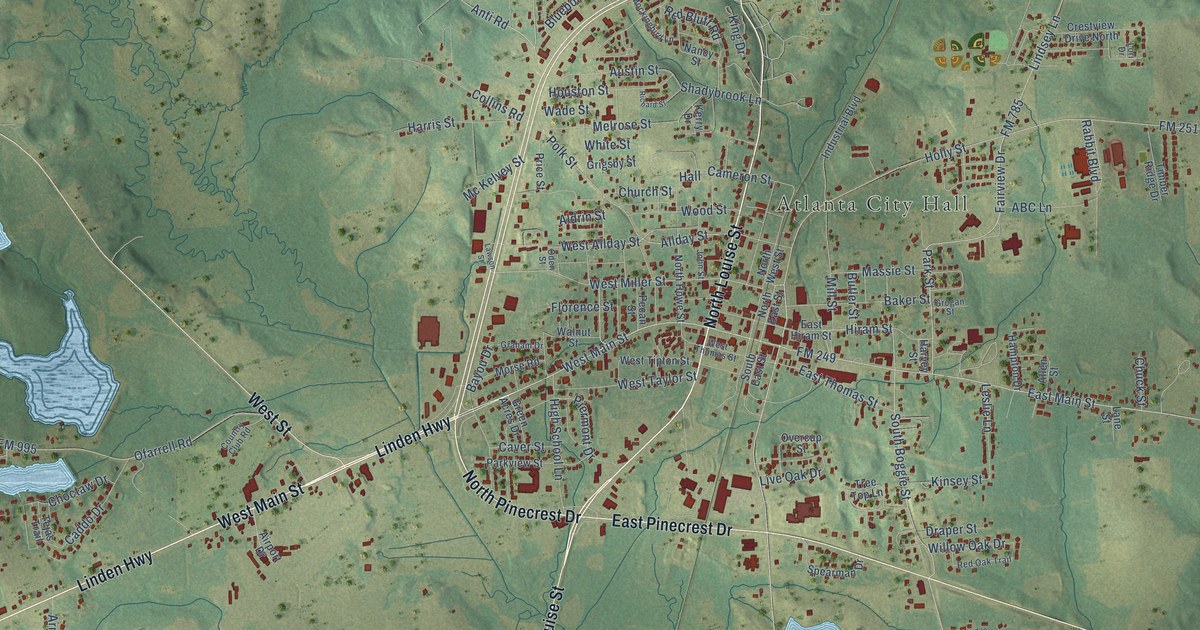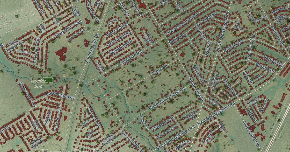
This beautifully detailed map of Hewitt, Texas was created in 2026 using aerial imagery combined with modern topographical, census, street and landmark data. It’s a one-of-a-kind view of Hewitt that combines accurate data with a vintage aesthetic. The map shows every building in its true location, many of the roads carry their names, and the shaded topographic relief shows the shape of the land.
Explore an aerial view of Hewitt, Texas
On the map you’ll find Hewitt City Hall, Hewitt Park, and Warren Park, along with FM 1695, FM 2113, Old Temple Highway, South Old Temple Road, North Old Temple Road, South First Street, Old Temple Road, Spring Valley Road, Barbara Jean Drive, and more. If you look closely you can even find your house accurately drawn in its correct location. Zoom in on the preview to look for yours.
Did you know this piece of Hewitt, Texas history?
From the Handbook of Texas: "A small state bank was organized at Hewitt in 1912, but it could not compete with banks in nearby Waco and closed voluntarily in 1916."
Take a closer look at the Hewitt map
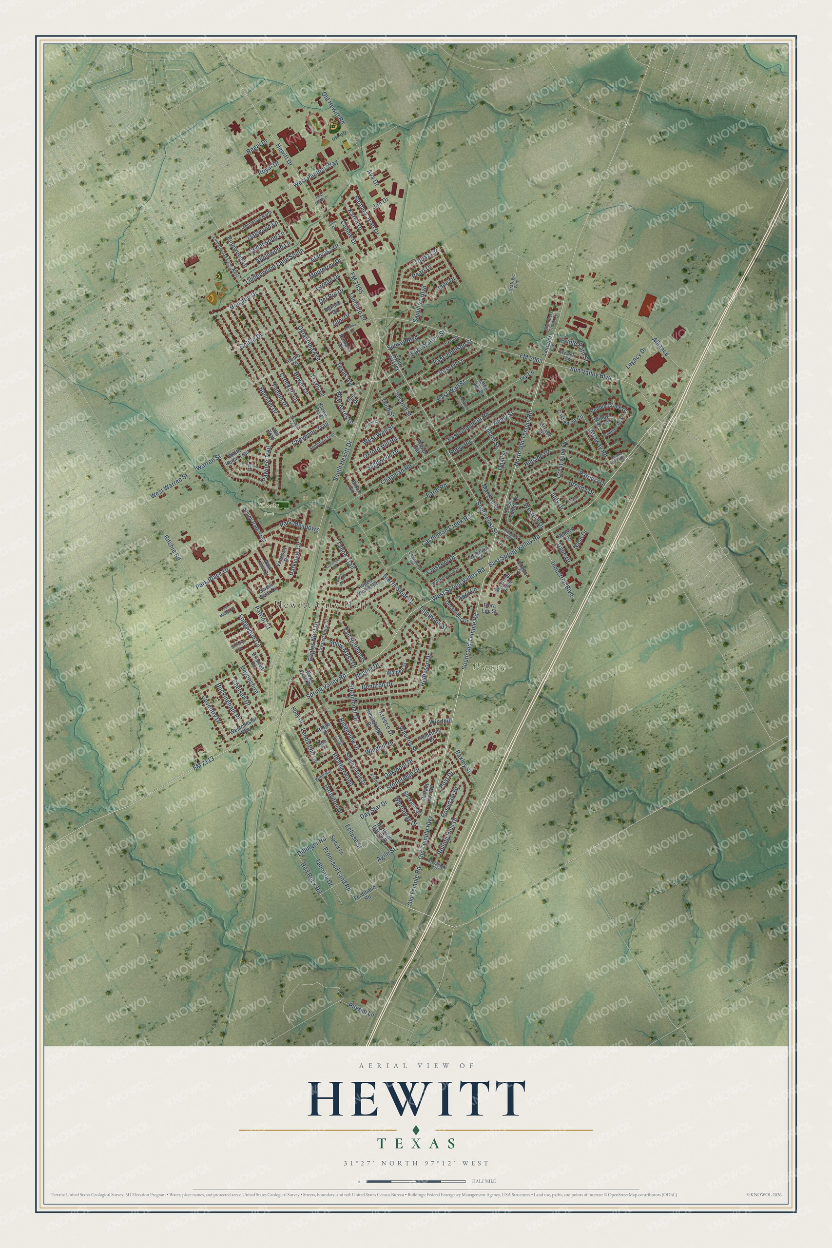
Street and place names on the Hewitt, Texas map
These names are printed on the map of Hewitt, Texas.
Places: Hewitt City Hall, Hewitt Park and Warren Park.
Streets and roads: FM 1695, FM 2113, Old Temple Highway, South Old Temple Road, North Old Temple Road, South First Street, Old Temple Road, Spring Valley Road, Barbara Jean Drive, East Spring Valley Road, Applewood Lane, West Spring Valley Road.
More street names, A to Z
Agile Street, Alamo Drive, Alamosa Drive, Alliance, April Lane, Ashton Drive, Aspen Incline Drive, Attaway Road, Ava Drive, Baxley Street, Big Creek Loop, Blue Jay Drive, Bonham Drive, Bowie Lane, Brenda Drive, Briarfield Street, Briarleaf Circle, Bridle Path Street, Brook Circle, Buckingham Place, Castleman Circle, Castleman Creek Road, Cedarwood Lane, Chama Drive, Chambers Creek Circle, Chapman Road, Chapparal Road, Chelsea Drive, Cheyenne Trail, Choctaw Trail, Circle Creek Drive, Cloud Croft Drive, Connie Drive, Coventry Drive, Crescent Drive, Crested Butte Drive, Crestwood Drive, Crockett Lane, Cross Country Drive, Dakota Drive, Dane Drive, Darbyton Drive, Day Star Drive, December Drive, Del Rio Drive, Dendron Drive, Devonshire, Dillinger Road, Dixon Drive, Durango Circle, Eagles Nest Drive, Earle Road, East Chapman Road, East Johnson Street, East Wall Street, East Warren Street, Eclipse Street, Emmalyn Drive, Erica Drive, Fannin Drive, Ferdinand Road, Fieldstone Drive, Flintrock Road, Flora Lee Street, FM 2063, Foxglove Drive, Gallant Fox Road, Glenleigh Drive, Goliad Drive, Greystone Drive, Gruver Drive, Heatherwood, Hedrick Drive, Hesselridge Drive, Hewitt Drive, Hillside Drive, Hoby Drive, Houston Drive, Industrial Boulevard, Ivy Lane, Jade Drive, Jan Drive, Jim Drive, Judy Drive, Karen Drive, Keswick Drive, Kiowa Trail, Kreece Drive, Lancelot Circle, Lands End Cv, Laredo Drive, Legacy Drive, Lillard Street, Linden Lane, Lindenwood Lane South, Lindenwood Lane West, Lindenwood North, Longwood Circle, Lost Maples Court, Marylee Drive, Monterrey Drive, Nash Drive, Neely Road, Neely Street, New Acres Drive, Northern Dance Drive, North First Street, Oakmont Drive, Oakwood Lane, Oklahoma Avenue, Old Hewitt Road, Opal Street, Oxford Hill Road, Park Lane Drive, Park Meadows, Park Place Drive, Parkview Circle, Patricia Drive, Patriot Court, Pawnee Trail, Pearl Drive, Pebble Creek, Pebble Creek Drive, Peer Drive, Pilgrim Lane, Pinewood Lane, Post Drive, Post Office Drive, Promised Land Road, Radisson Drive, Red Rock Road, Regal Drive, Regina Drive, Ridge Drive, Ridgeview Drive, Ritchie Road, Rolling Hills Drive, Romana Circle, Rosedale Drive, Rowan Oak, Royal Drive, Russell Lane, Sagewood Drive, Sapphire Boulevard, Second Street, Seminole Trail, Shady Park Trail, Sierra Slope Drive, Snow Mass Drive, South Haven, South Haven Drive, South Hewitt Drive, Speck Lane, Spokane Street, Steamboat Drive, Stoneridge Drive, Strategic Way, Sunset Boulevard, Sun Valley Boulevard, Sweet Briar Circle, Tahoe Trail, Tahonta Drive, Tampico Drive, Texas Avenue, Third Street, Tiffton Circle, Tillamook Street, Topaz Circle, Travis Lane, Ute Trail, Vail Highlands, Vanessa Drive, Walden Street, Warren Street, Waverly Street, Westchester Way, Western Way, Westhill Drive, West Panther Way, West Wall Street, West Warren Street, Whirlaway Drive, White Horse Trail, Will Boleman Drive, Willow Creek, Windhill, Wind Hill, Windhill Drive, Yukon Pass Drive, Zuni Drive.
See the Hewitt, Texas map on a wall
The Hewitt map as an 18 x 24 inch print in a black frame.

This beautifully detailed map of Hewitt makes an attractive addition to your office, library, or den, and it can even be used to teach children the geography and history of the area. It also makes a great gift for anyone with Hewitt roots. When you’re done exploring, click here to get your copy of the Hewitt map.