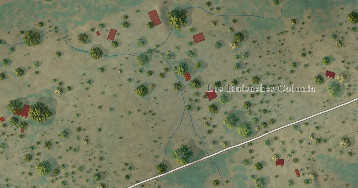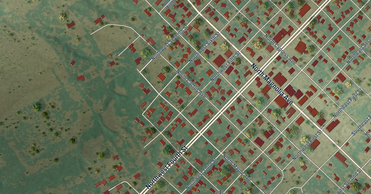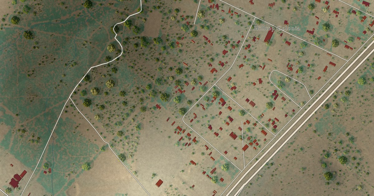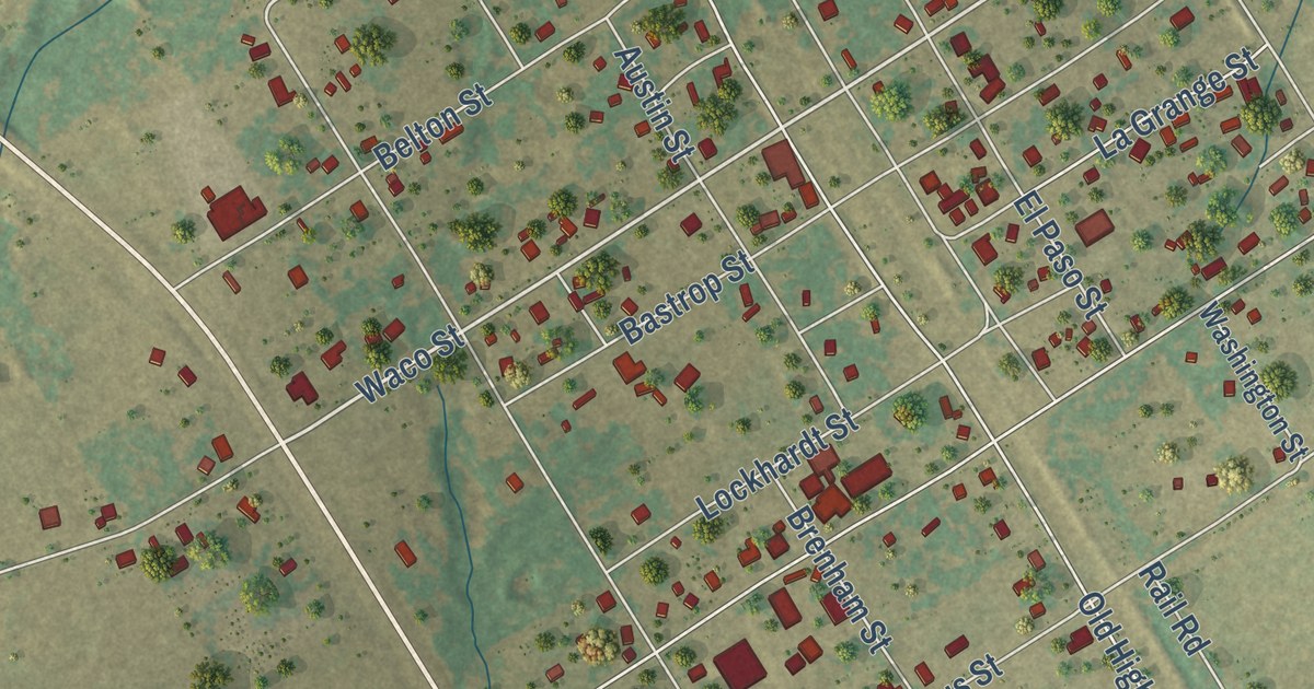
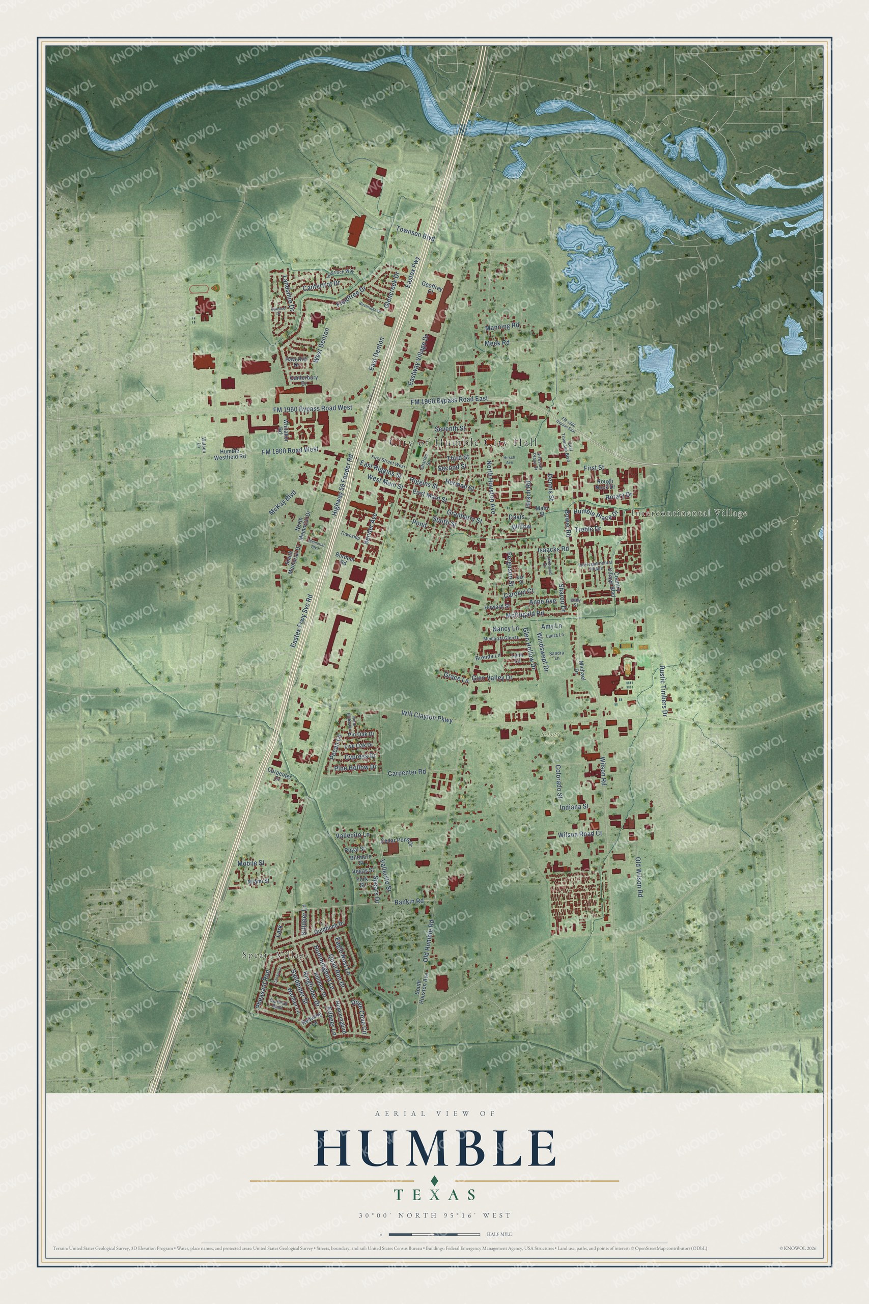
This beautifully detailed map of Humble, Texas was created in 2026 using aerial imagery combined with modern topographical, census, street and landmark data. It’s a one-of-a-kind view of Humble that combines accurate data with a vintage aesthetic. The map shows every building in its true location, many of the roads carry their names, and the shaded topographic relief shows the shape of the land.
Explore an aerial view of Humble, Texas
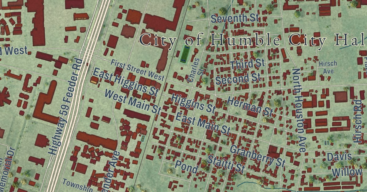
On the map you’ll find City of Humble City Hall, Spears Village, Intercontinental Village, Schott Park, Eastex Fwy, and Pheasant Run, along with Eastex Frwy Svc Road, Highway 59 Feeder Road, FM 1960 Bypass Road East, FM 1960 Bypass Road West, Bender Avenue, Killdeer Lane, and more. If you look closely you can even find your house accurately drawn in its correct location. Zoom in on the preview to look for yours.
Did you know this piece of Humble, Texas history?
From the Handbook of Texas: "By the time the Lone Star Hotel was built and thirty wells were completed several months later, 10,000 people lived in the area, and by 1905 the Humble oilfield was the largest producing field in Texas."
Take a closer look at the Humble map
Street and place names on the Humble, Texas map
These names are printed on the map of Humble, Texas.
Places: City of Humble City Hall, Spears Village, Intercontinental Village and Schott Park.
Streets and roads: FM 1960 Bypass Road West, FM 1960 Bypass Road East, Highway 59 Feeder Road, Eastex Fwy, Eastex Frwy Svc Road, Rankin Road, Kingfisher Drive, Townsen Boulevard, Bender Avenue, Killdeer Lane, Pheasant Run, Wilson Road.
More street names, A to Z
Amy Lane, Anne Avenue, Artesian Plaza Drive, Biltmore Street, Birchridge Drive, Bluebird Bend, Bower Road, Brenda Lane, Burdom Road, Canary Lane, Canterbury Drive, Cantertrot Drive, Carolyn Court, Carpenter Drive, Carpenter Road, Cedar Pond Drive, Charles Street, Colorado Street, Country Village Boulevard, Cypress Drive, Davis, Dennis Street, Dove Cove Circle, Eagle Nest Lane, East Denton, East Higgins Street, East Main Street, East Townsen Boulevard, Eastway Village Drive, Eddy Street, Ferguson Street, Fieldtree Drive, First Street, First Street West, FM 1960 Bypass East, FM 1960 Road West, Geoffrey Court, Glencreek Drive, Glen Hollow Drive, Glen Valley Drive, Goldfinch Drive, Grace Lane, Granberry Street, Haverhill Drive, Herman Street, Higgins Street, Hirsch Avenue, Hirsch Road, Howard Street, Humble Place Drive, Humble Westfield Road, Hummingbird, Hummingbird Lane, Indiana Street, Inverloch Way, Isaacks Road, Ken Street, Kildeer Lane, Killdeer Drive, Lakeland Drive, Landshire Drive, Lark, Laura Lane, Live Oak Drive, Lynn Lane, Main Street, Manning Road, McDugald Road, McKay Boulevard, Meek Road, Memorial Boulevard, Memorial Glen Drive, Miami Street, Michael Drive, Mobile Street, Nancy Lane, North Hollow Drive, North Houston Avenue, North Memorial Drive, Old Humble Road, Old Wilson Road, Pecan Lane, Pine Hollow Drive, Pin Oak Drive, Pond, Quail Run Drive, Redwing Lane, Rotary Drive, Rough Neck Drive, Royal Street, Rustic Timbers Drive, Sandpiper Street, Sandra Lane, Second Street, Seventh Street, Sharon Drive, South Houston Avenue, South Memorial Drive, Spears Drive, Staitti Street, Third Street, Township, Treble Drive, Upwood Drive, Vallecito Lane, Vallecito Street, Vegas Street, Warbler Lane, Watson Lane, West Denton, West Main Street, Whitaker Road, Will Clayton Parkway, Willow, Wilson Road Court, Windswept Drive, York Street.
See the Humble, Texas map on a wall
The Humble map as an 18 x 24 inch print in a black frame.

This beautifully detailed map of Humble makes an attractive addition to your office, library, or den, and it can even be used to teach children the geography and history of the area. It also makes a great gift for someone who left Humble and still calls it home. When you’re done exploring, click here to get your copy of the Humble map.