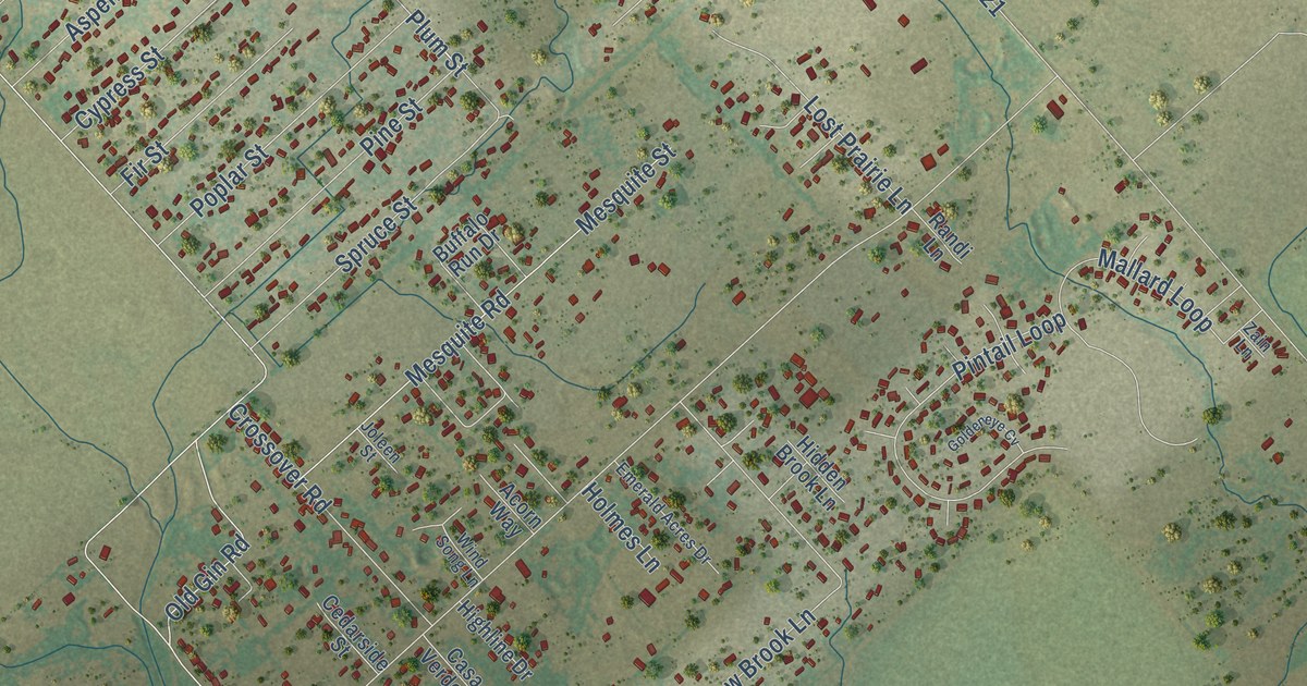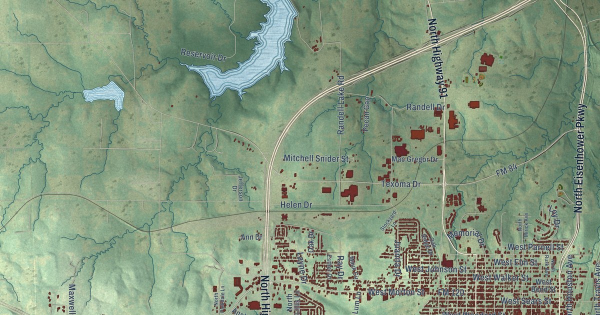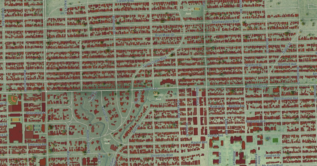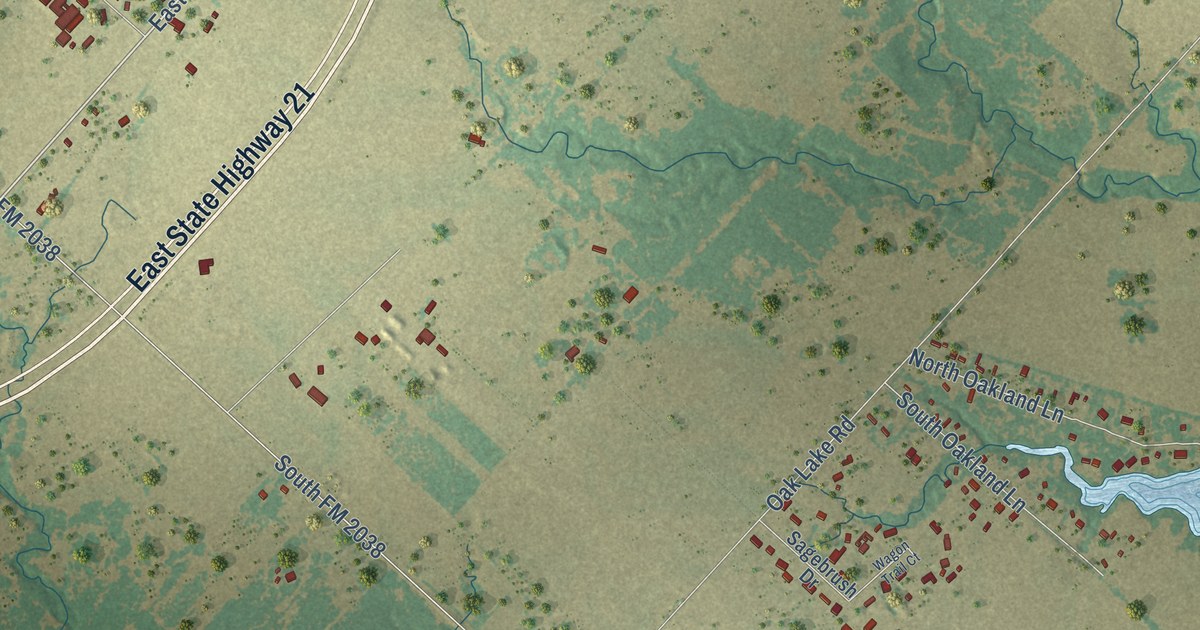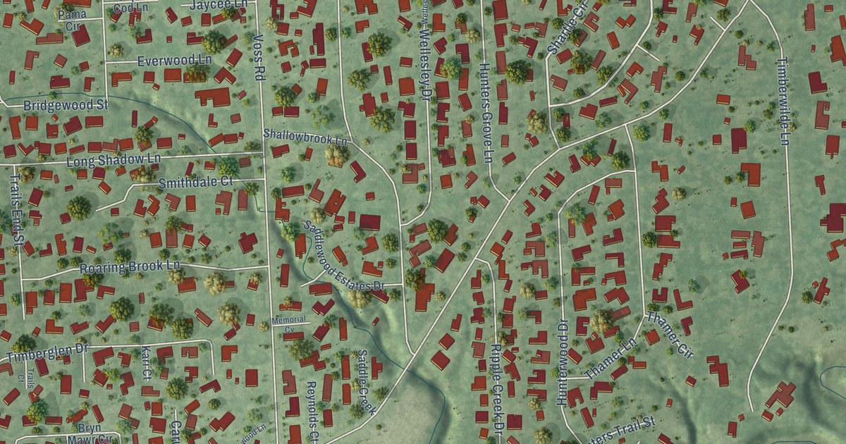
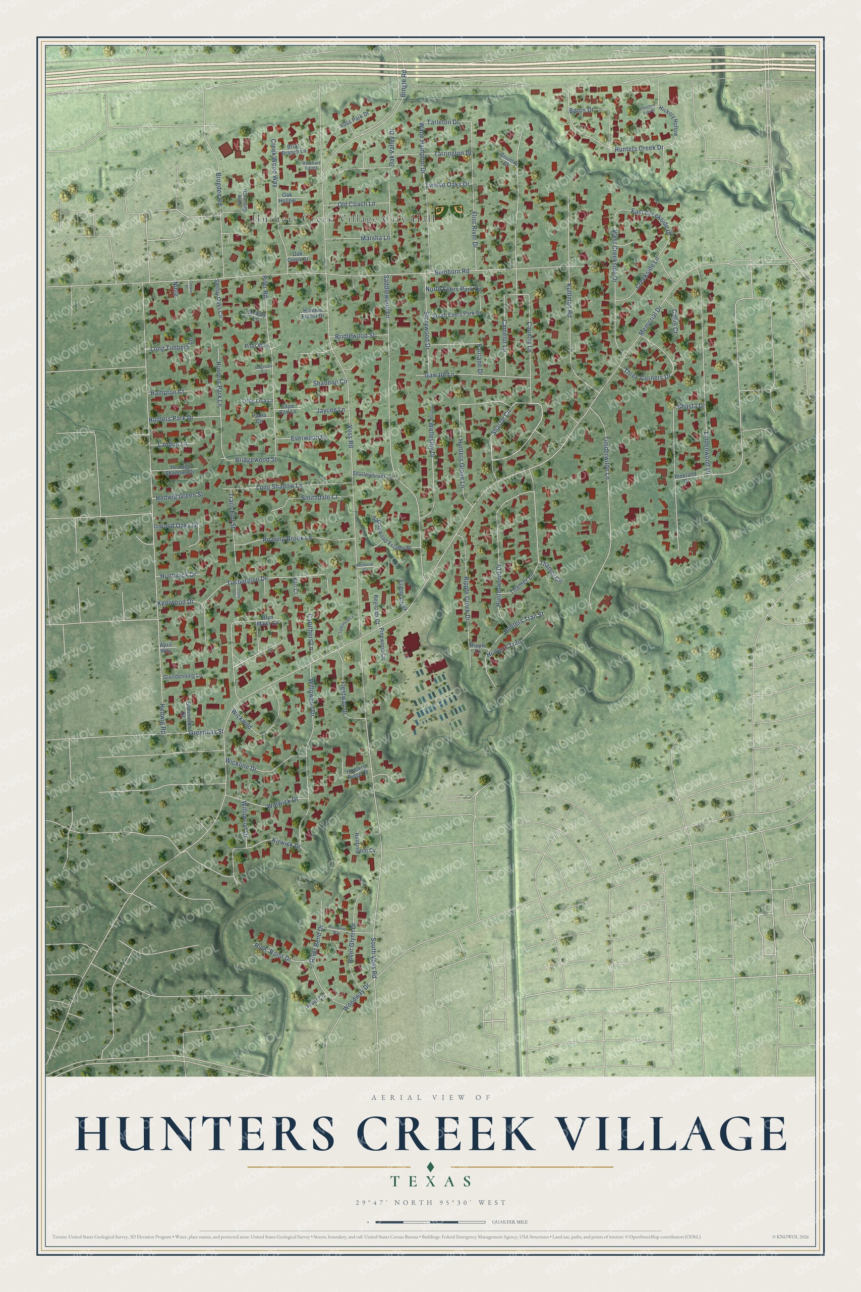
This beautifully detailed map of Hunters Creek Village, Texas was created in 2026 using aerial imagery combined with modern topographical, census, street and landmark data. It’s a one-of-a-kind view of Hunters Creek Village that combines accurate data with a vintage aesthetic. The map shows every building in its true location, many of the roads carry their names, and the shaded topographic relief shows the shape of the land.
Explore an aerial view of Hunters Creek Village, Texas
On the map you’ll find Hunters Creek Village City Hall, along with Shartle Circle, Memorial Drive, Voss Road, Beinhorn Road, Hedwig Road, Saddlewood Lane, Country Lane, Bingle Road, South Voss Road, Timberwilde Lane, Kuhlman Road, and more. If you look closely you can even find your house accurately drawn in its correct location. Zoom in on the preview to look for yours.
Did you know this piece of Hunters Creek Village, Texas history?
From the Handbook of Texas: "The community was incorporated in 1954 with a mayor-alderman city government and had a school and a church by 1966."
Take a closer look at the Hunters Creek Village map
Street and place names on the Hunters Creek Village, Texas map
These names are printed on the map of Hunters Creek Village, Texas.
Places: Hunters Creek Village City Hall.
Streets and roads: Shartle Circle, Memorial Drive, Voss Road, Beinhorn Road, Hedwig Road, Saddlewood Lane, Country Lane, Bingle Road, South Voss Road, Timberwilde Lane, Kuhlman Road, Lindenwood Drive.
More street names, A to Z
April Way, Boros Drive, Briar Branch Lane, Bridgewood Street, Bridlewood Street, Brogden Road, Bryn Mawr Circle, Callie Court, Camelot Lane, Cape Cod Lane, Caruthers Lane, Cheshire Vale Street, Corwin Place, Country Court, Creekside Lane, Creek Wood Way, East Creekside Drive, Everwood Lane, Fairlane Drive, Fleetway Drive, Flint River Drive, Gawain Lane, Glendenning Lane, Glennville Court, Greenbay Street, Hampton Court, Hedwig Green Street, Hedwig Shadows Drive, Hickory Hollow, Hunters Creek Drive, Hunters Forest Drive, Hunters Grove Lane, Hunters Park Drive, Hunters Park Lane, Hunters Ridge Court, Hunters Trail, Hunters Trail Street, Hunterwood Drive, Huntington Cv, Huntwyck Drive, Inwood Oaks Drive, Jaycee Lane, Kari Court, Kemwood Drive, Kirwick Drive, Landon Lane, Little Lisa Lane, Long Shadow Lane, Long Timbers Lane, Marsha Lane, Melody Lane, Memorial Cv, Ninte, North Evers Park Drive, Oak Creek Street, Oak Hollow, Oak Valley Drive, Old Coach Lane, Pama Circle, Pifer Road, Pifer Way, Pine Grove Circle, Pineland Drive, Pinewood Circle, Reichert Farms, Reynolds Court, Ripple Creek Drive, Ripple Lane, River Bend Drive, River Circle, River Glynn Drive, River Point Drive, Riverview Way, Roaring Brook Lane, Saddle Creek, Saddlewood Estates Drive, Shallowbrook Lane, Shannon Circle, Shasta Drive, Sleepy Oaks Circle, Smithdale Court, South Evers Park Drive, Stagestop Circle, Storywood Drive, Tarleton Drive, Tarrington Drive, Teakwood Lane, Thamer Circle, Thamer Lane, Three Corners Drive, Timberglen Drive, Trails Court, Trails End Street, Twelve Oaks Drive, Voss Park Drive, Wade Hampton Drive, Walwick Drive, Wellesley Drive, Wellesly, West Creekside Drive, Wickline Drive, Wickwild, Willowend Drive, Willowron Drive, Woodway Drive.
See the Hunters Creek Village, Texas map on a wall
The Hunters Creek Village map as an 18 x 24 inch print in a black frame.

This beautifully detailed map of Hunters Creek Village makes an attractive addition to your office, library, or den, and it can even be used to teach children the geography and history of the area. It also makes a great gift for someone who left Hunters Creek Village and still calls it home. When you’re done exploring, click here to get your copy of the Hunters Creek Village map.