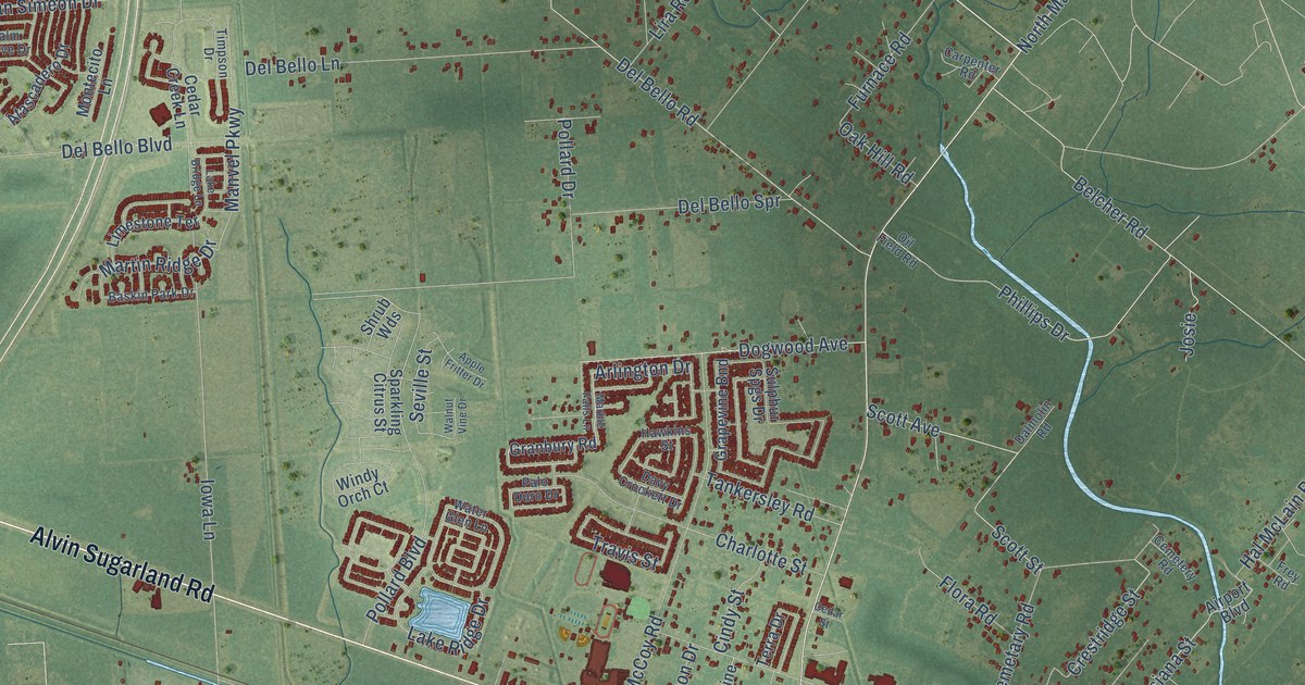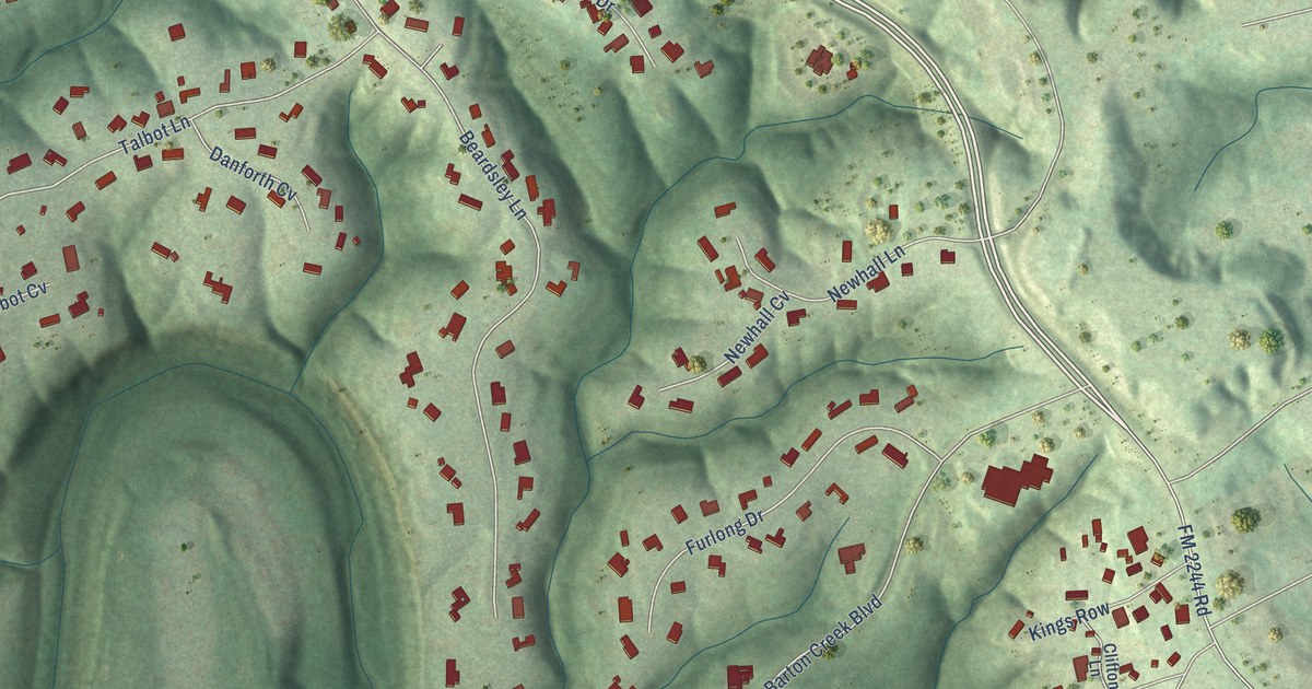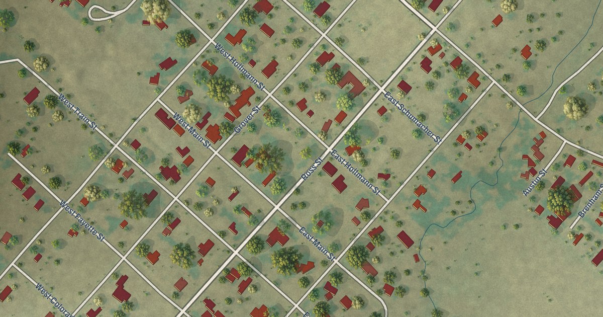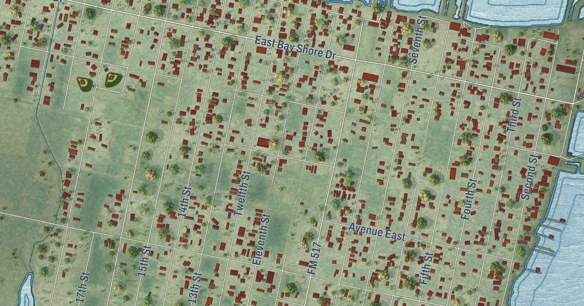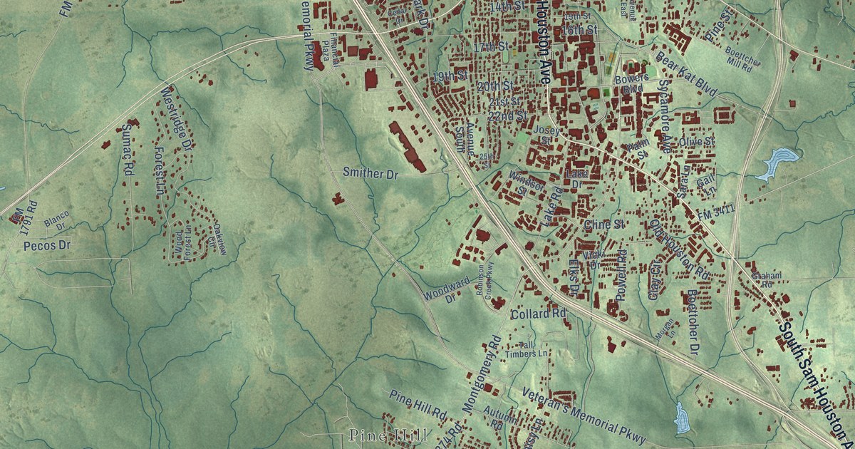
This beautifully detailed map of Huntsville, Texas was created in 2026 using aerial imagery combined with modern topographical, census, street and landmark data. It’s a one-of-a-kind view of Huntsville that combines accurate data with a vintage aesthetic. The map shows every building in its true location, many of the roads carry their names, and the shaded topographic relief shows the shape of the land.
Explore an aerial view of Huntsville, Texas
On the map you’ll find Pine Hill, Huntsville State Park, and State Park Road 40, along with South Sam Houston Avenue, Sam Houston Avenue, Eleventh Street, Phelps Drive, FM 2821 Road East, Montgomery Road, Southwood Drive, Daisy Lane, FM 2821 East, and more. If you look closely you can even find your house accurately drawn in its correct location. Zoom in on the preview to look for yours.
Did you know this piece of Huntsville, Texas history?
From the Handbook of Texas: "Adolphus Sterne (a business associate of Alexander McDonald, who built the first brick building in the community), and William Bollaert recorded their impressions of early Huntsville, as did Melinda Rankin, an early resident."
Take a closer look at the Huntsville map
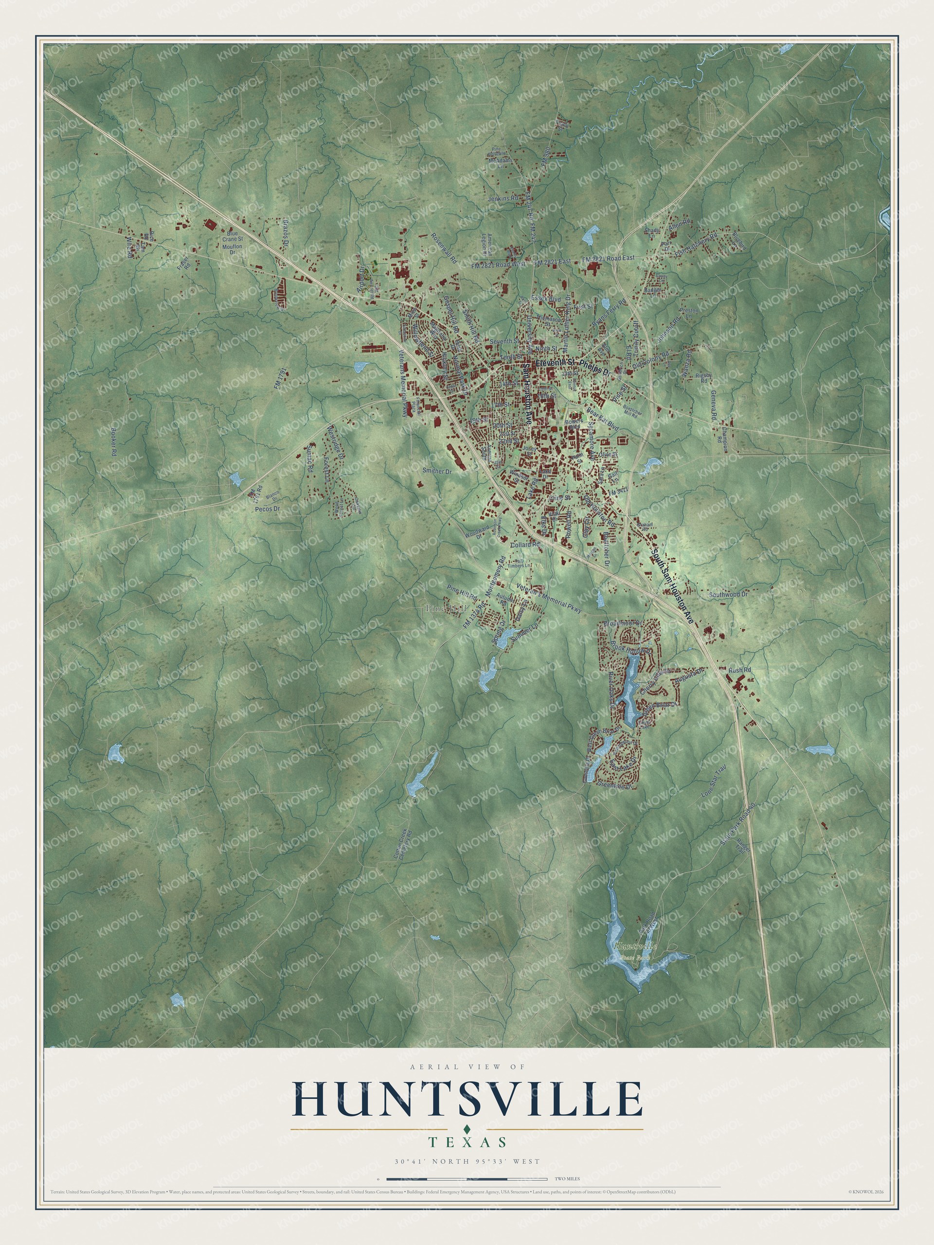
Street and place names on the Huntsville, Texas map
These names are printed on the map of Huntsville, Texas.
Places: Pine Hill, Huntsville State Park and Elkins Lake.
Streets and roads: South Sam Houston Avenue, Sam Houston Avenue, Eleventh Street, Phelps Drive, State Park Road 40, FM 2821 Road East, Montgomery Road, Southwood Drive, Daisy Lane, FM 2821 East, Seventh Street, Old Colony Road.
More street names, A to Z
13th Street, 14th Street, 15th Street, 16th Street, 17th Street, 19th Street, 20th Street, 21st Street, 22nd Street, 25th Street, Airport Drive, Allen Road, American Legion Drive, Augusta Drive, Autumn Road, Avenue East, Avenue South, Badger Lane, Bear Kat Boulevard, Blanco Drive, Bluebird Lane, Blue Crane Street, Boettcher Drive, Boettcher Mill Road, Booker Road, Bowers Boulevard, Brazos Drive, Broadmoor Drive, Brook Hollow Drive, Brookview Drive, Bush Drive, Camellia Drive, Cedar Drive, Champion Road, Cherry Hills Drive, Clay Circle, Cline Street, Collard Road, Cotton Creek Cemetery Road, Dee Lane, Easley Circle, East Lake Drive, Elks Drive, Elm Avenue, El Road, Essex Boulevard, Financial Plaza, First Street, Fish Hatchery Road, FM 247, FM 247 Road, FM 980, FM 1374 Road, FM 1791, FM 1791 Road, FM 2821 Road West, FM 3411, Forest Lane, Fraser Road, Gail Lane, Geneva Road, Goodrich Drive, Gospel Hill Road, Graham Road, Green Briar Drive, Greentree Drive, Hickory Street, Jenkins Road, Johnson Road, Josey Street, Lake Drive, Lake Road, Lone Star Trail, Magnolia Way, Martin Luther King Drive, McAdams Lane, Mize Street, Morgan Lane, Mouflon Drive, Ninth Street, Normal Park Drive, Oakview Circle, Old Airport Road, Old Houston Road, Olive Street, Palm Street, Park Road 40 West, Parr Drive, Pecos Drive, Pine Hill Road, Pine Hollowln, Pine Street, Powell Road, Preston Lane, Quality Boulevard, Ranger Trail, Rice Road, Rigsby Road, River Oaks Drive, Robinson Creek Parkway, Rollingwood Drive, Rosenwall Road, Ross Street, Rush Road, Ryans Ferry Road, Sara Lane, Shady Lane, Sixth Street, Smither Drive, Smith Hill Road, Spring Drive, Sumac Road, Summer Lane, Sycamore Avenue, Tall Timbers Lane, Tam Road, Tenth Street, Thomason Street, Timberline Drive, Tracy Street, Trinity Cutoff, University Avenue, Veteran's Memorial Parkway, Veterans Memorial Parkway, Vicki Drive, Wanza Road, West Green Briar Drive, Westridge Drive, Willowbend Street, Windsor Street, Wire Road, Wood Forest Lane, Woodward Drive.
See the Huntsville, Texas map on a wall
The Huntsville map as an 18 x 24 inch print in a black frame.

This beautifully detailed map of Huntsville makes an attractive addition to your office, library, or den, and it can even be used to teach children the geography and history of the area. It also makes a great gift for anyone with Huntsville roots. When you’re done exploring, click here to get your copy of the Huntsville map.