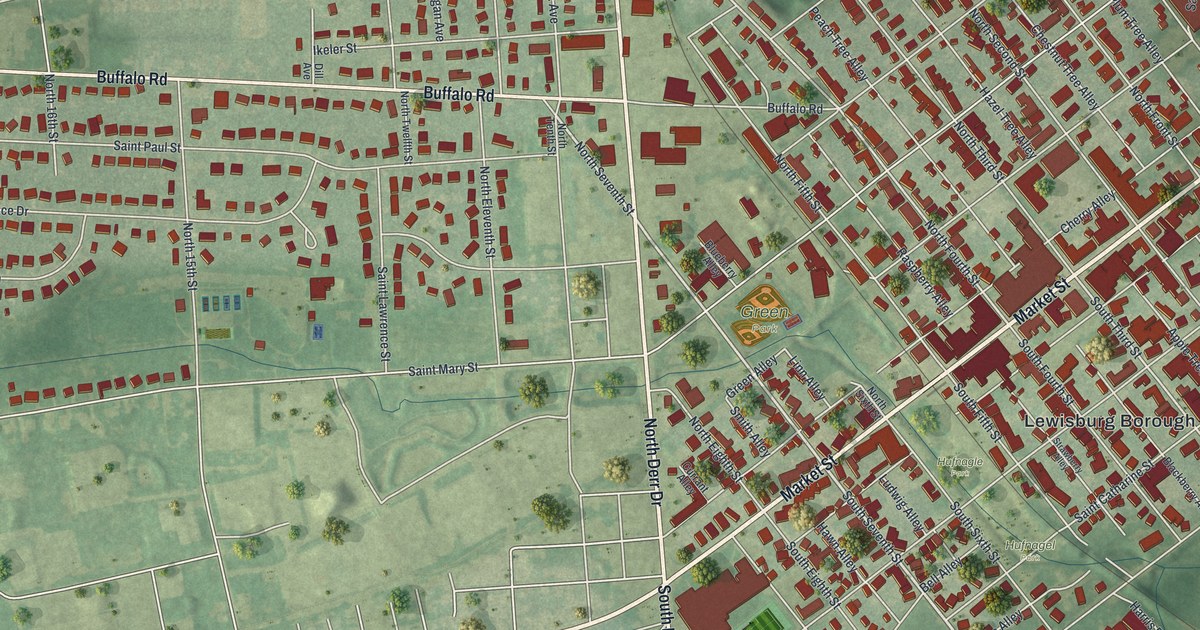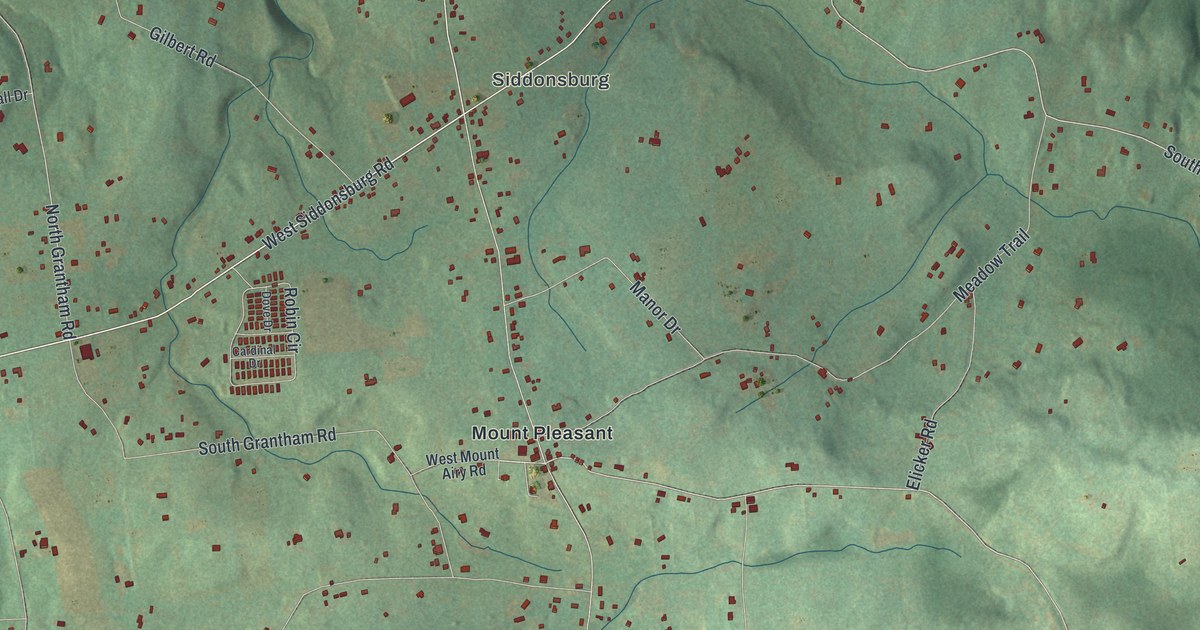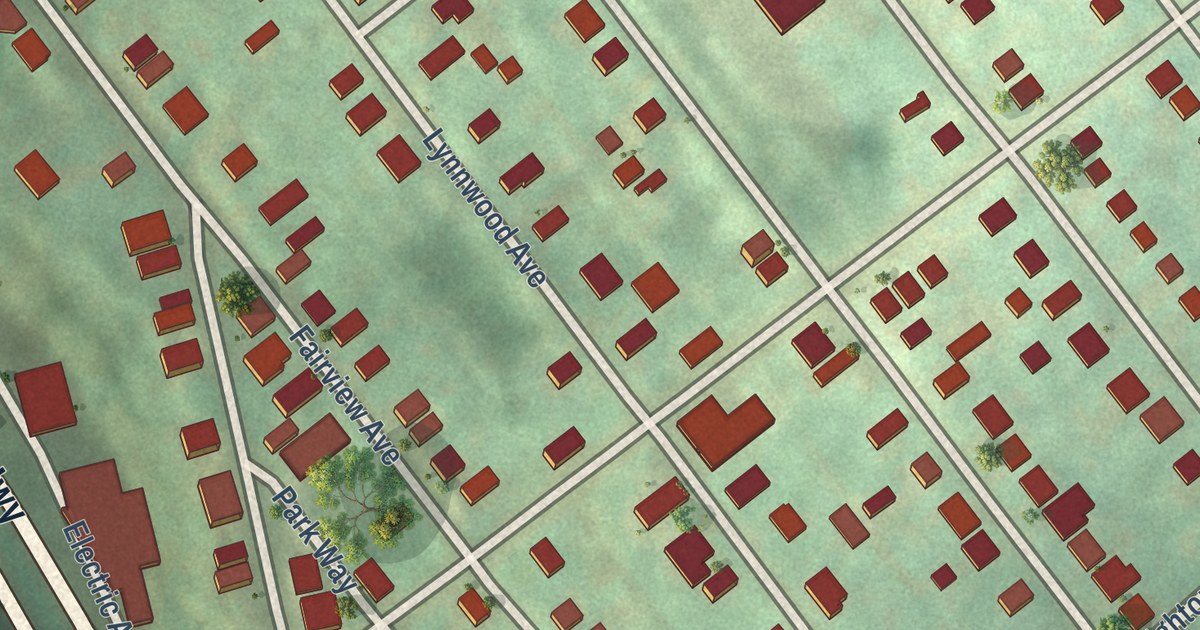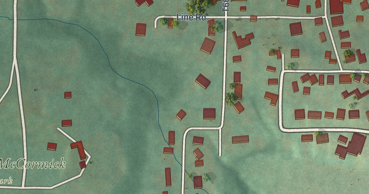
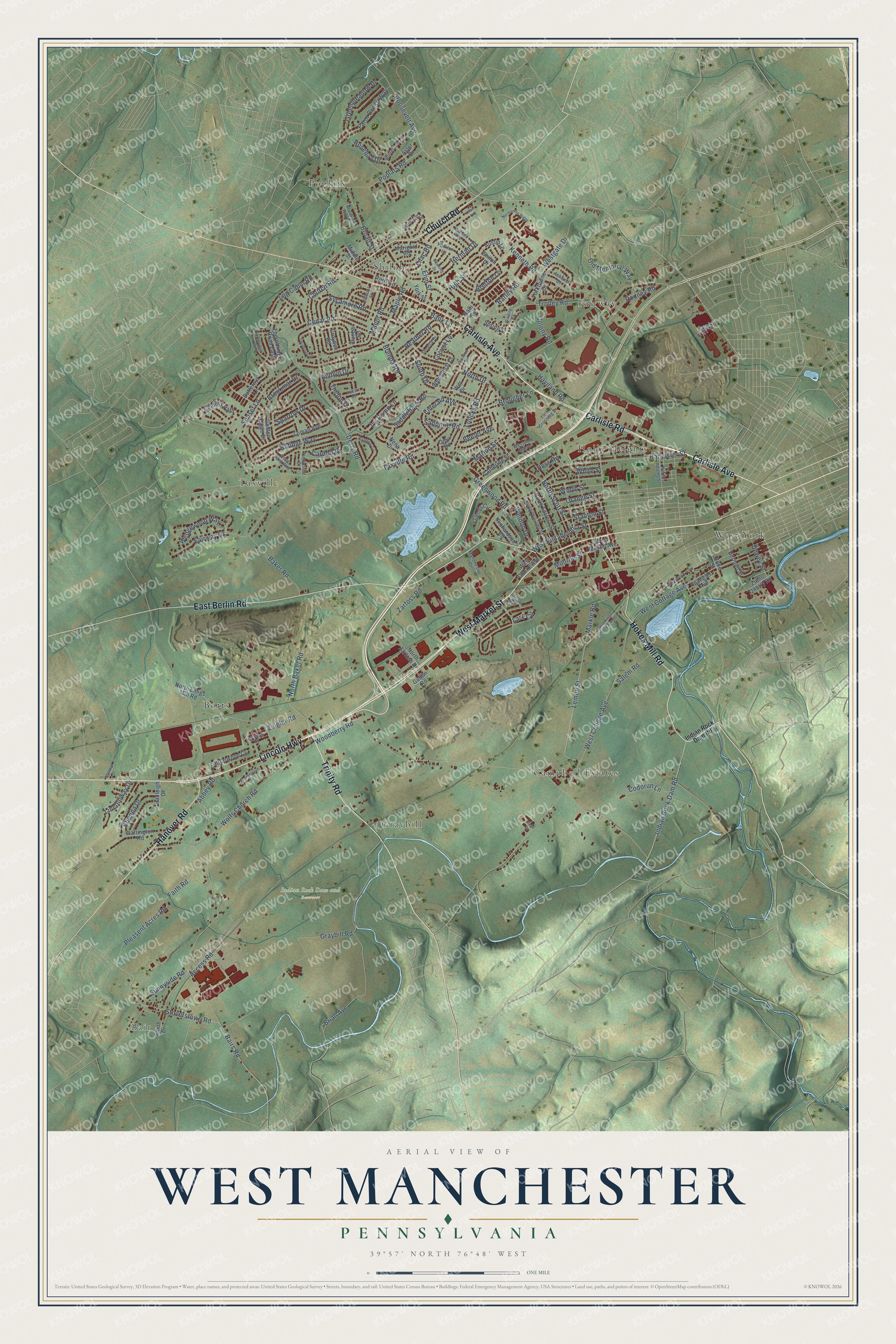
This beautifully detailed map of West Manchester, Pennsylvania was created in 2026 using aerial imagery combined with modern topographical, census, street and landmark data. It’s a one-of-a-kind view of West Manchester that combines accurate data with a vintage aesthetic. The map shows every building in its true location, many of the roads carry their names, and the shaded topographic relief shows the shape of the land.
Explore an aerial view of West Manchester, Pennsylvania
On the map you’ll find Bair, Indian Rock Dam and Reservoir, Botts, Campbell Estates, Fairway, Graybill, Holly Heights, Poplars, Shiloh, Taxville, and West York, along with West Market Street, and more. If you look closely you can even find your house accurately drawn in its correct location. Zoom in on the preview to look for yours.
Did you know this piece of West Manchester, Pennsylvania history?
From West Manchester Township: "In 1887, the York County Agricultural Society purchased 73 acres of West Manchester Township from Samuel Smyers, which created the current site of the York Interstate Fair."
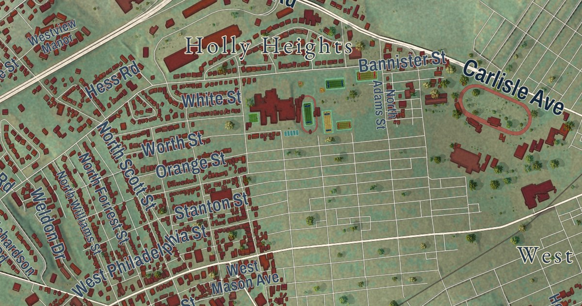
Take a closer look at the West Manchester map
Street and place names on the West Manchester, Pennsylvania map
These names are printed on the map of West Manchester, Pennsylvania.
Places: Bair, Indian Rock Dam and Reservoir, Fairway, Taxville, Campbell Estates, West York, Poplars, Botts, Graybill, Shiloh and Holly Heights.
Streets and roads: West Market Street, Carlisle Road, Lincoln Highway, Carlisle Avenue, Trinity Road, Hokes Mill Road, East Berlin Road, Hanover Road, Church Road, Indian Rock Dam Road, Bannister Street, Woodberry Road.
More street names, A to Z
Abbey Road, Access Road, Allenbrook Alley, Alpha Drive, Ashland Drive, Aster Drive, Audlyn Drive, Austin Lane, Bairs Road, Baker Road, Bank Lane, Barley Road, Beeler Avenue, Brenda Road, Bretton Lane, Brian Avenue, Briarwood Court, Broad Street, Brookmar Drive, Brougher Lane, Butternut Lane, Carlton Place, Catherine Street, Cedar Road, Codorun Lane, Colony Road, Croyden Road, Darlington Road, Deer Ford Way, Derry Road, Dewey Street, Downing Street, Dunbar Road, Duvall Avenue, Elim Street, Emerald Avenue, Fahs Street, Fairway Drive, Faith Road, Farm Cross Way, Friends Circle, Golden Eagle Drive, Goldens Path, Grandview Park Drive, Graybill Road, Greenmeadow Drive, Greenwood Road, Gulton Road, Hadleigh Drive, Haviland Road, Heather Road, Hempfield Drive, Herman Drive, Herman Street, Hess Road, High Street, Hoke Street, Ivy Pump Lane, Kain Road, Kenneth Road, Lark Circle, Lawson Court, Lemon Street, Lilac Lane, Lilac Road, Lincolnway Drive, Locust Lane, Log Cabin Road, Loman Avenue, Loucks Road, Lycan Drive, Manchester Court, Manor Road, Maple Road, Marigold Road, Marion Street, Markle Road, Middle Street, Monroe Street, Nena Drive, Normandie Ridge, North Adams Street, North Baker Road, North Drive, North Emigs Mill Road, North Forrest Street, North Scott Street, North Williams Street, North Zarfoss Drive, Old Memorial Way, Onyx Road, Orange Street, Parkton Lane, Paul Lane, Pleasent Acres Road, Poplars Road, Rainbow Circle, Rhonda Drive, Richardson Road, Ridings Way, Rodney Road, Roosevelt Avenue, Rosebay Drive, Saddleback Road, Salem Road, Sapphire Road, School Street, Seneca Drive, Shennys Drive, Shiloh Drive, Smith Drive, South Drive, Spangler Avenue, Sparrow Drive, Spring Street, Stanton Street, Stoverstown Road, Sunnyside Road, Sunset Lane, Sycamore Road, Taxville Road, Thames Avenue, Thelon Drive, Thornbridge Road East, Thornbridge Road West, Trolley Road, Twinbrook Drive, Warwick Road, Wedgewood Way, Weldon Drive, West Clarke Avenue, West College Avenue, West Cottage Avenue, Westgate Drive, West King Street Extended, West Mason Avenue, West Philadelphia Street, Westview Manor, White Street, Wilt Drive, Winding Road, Winston Drive, Winterberry Court, Wolfs Church Road, Worth Street, Wyndhurst Court, York Crossing Drive, York Street, Yorktowne Drive, Zarfoss Road, Zeigler Road, Zimmerman Drive, Zinns Quarry Road.
See the West Manchester, Pennsylvania map on a wall
The West Manchester map as an 18 x 24 inch print in a black frame.

This beautifully detailed map of West Manchester makes an attractive addition to your office, library, or den, and it can even be used to teach children the geography and history of the area. It also makes a great gift for anyone with West Manchester roots. When you’re done exploring, click here to get your copy of the West Manchester map.