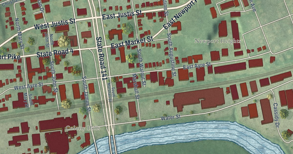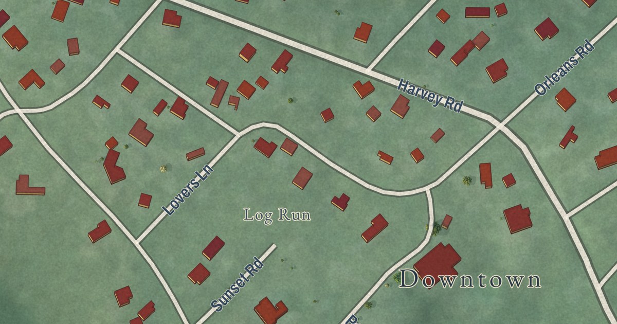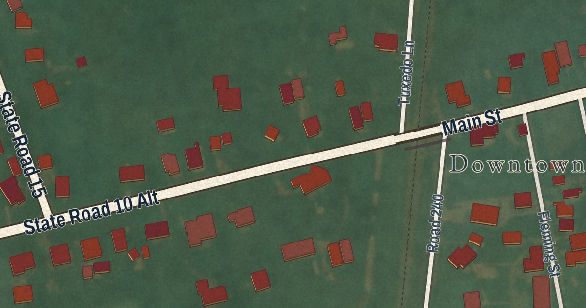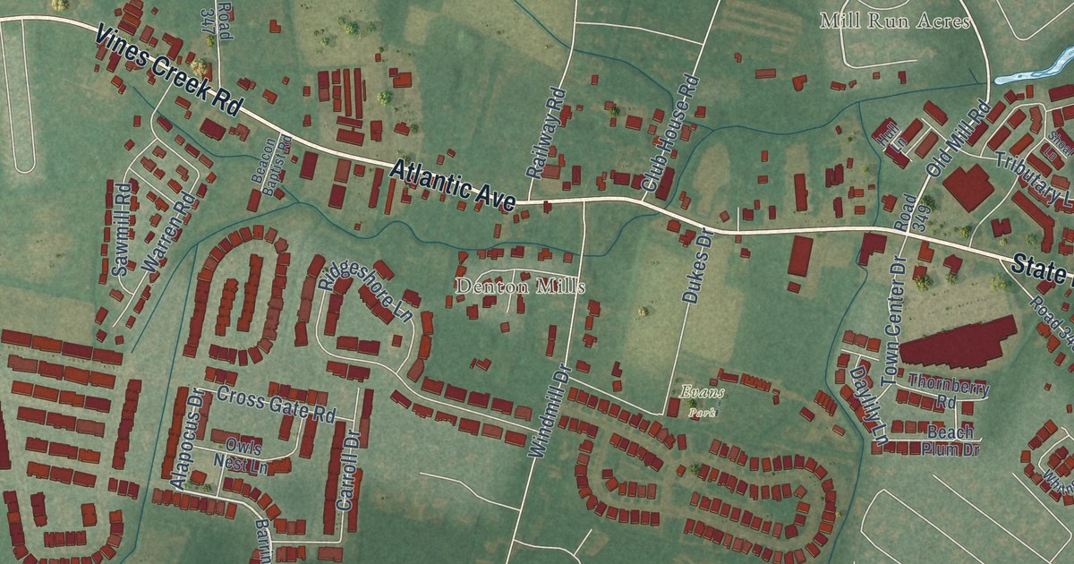
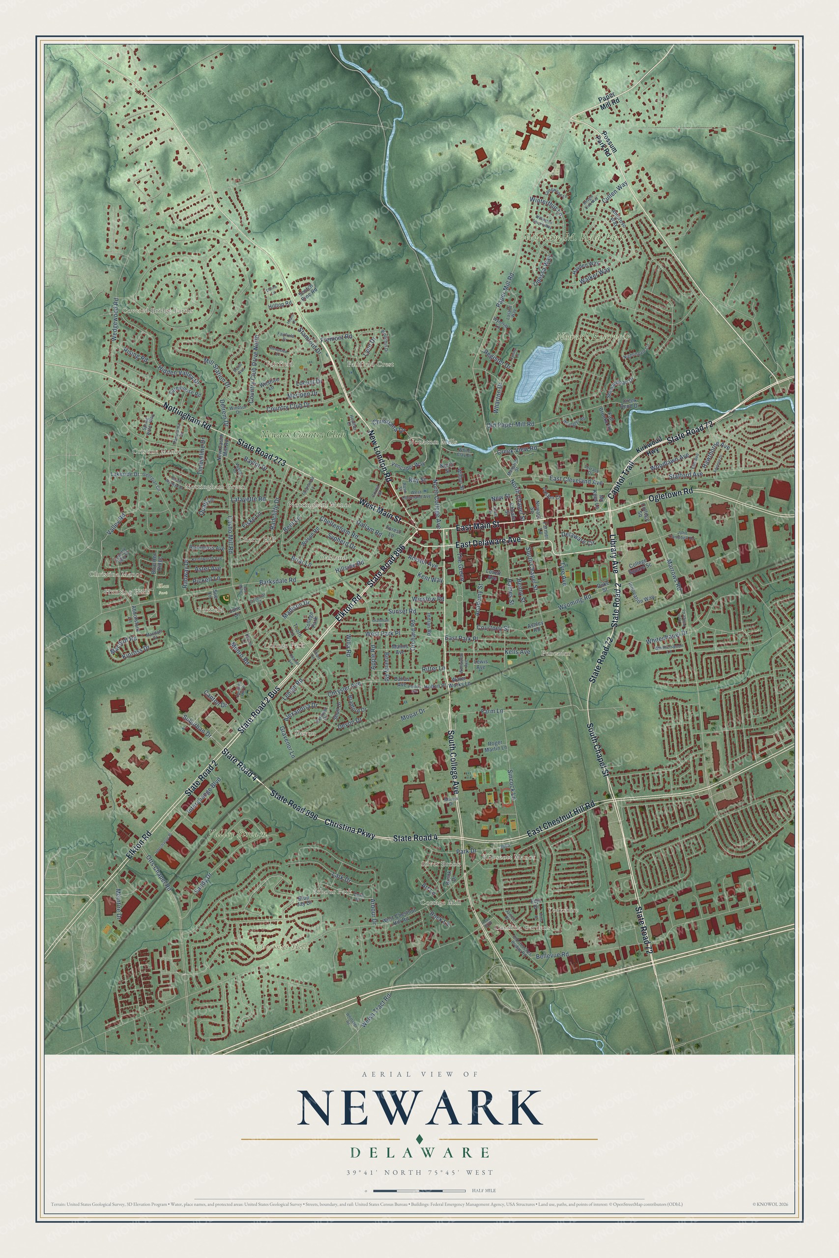
This beautifully detailed map of Newark, Delaware was created in 2026 using aerial imagery combined with modern topographical, census, street and landmark data. It’s a one-of-a-kind view of Newark that combines accurate data with a vintage aesthetic. The map shows every building in its true location, many of the roads carry their names, and the shaded topographic relief shows the shape of the land.
Explore an aerial view of Newark, Delaware
On the map you’ll find Downtown, Newark Reservoir, Valley Stream, Chestnut Hill, Newark Resevoir Park, Phillips Park, Elan Park, Arbour Park, Catalina Gardens, Cherry Hill, Christina Manor, College Park, and more. If you look closely you can even find your house accurately drawn in its correct location. Zoom in on the preview to look for yours.
Did you know this about Newark, Delaware?
From the Delaware Public Archives: "In the years prior to the Revolutionary War, John Aiken commenced the operation of a tavern and storehouse at this location near the intersection of two of the major roadways of the Delmarva Peninsula."
Take a closer look at the Newark map
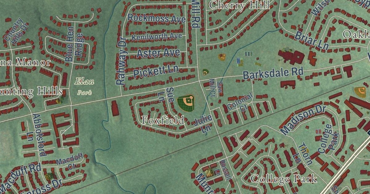
Street and place names on the Newark, Delaware map
These names are printed on the map of Newark, Delaware.
Places: Newark Reservoir, Valley Stream, Chestnut Hill, William M. Redd Park, Elan Park, Covered Bridge Farms, Oakland, Catalina Gardens, Fairfield Crest, Pencader, Cristine Manor, Devon, College Park, Robscott Manor, Fairfield, Nonatum Mills, Arbour Park, Cottage Mill, Cherry Hill, Nottingham Manor, Silver Brook, Yorkshire, Nottingham Green, Christina Manor, Foxfield, Hunting Hills and Newark Country Club.
Streets and roads: State Road 896, State Road 2 Bus, State Road 273, State Road 72, New London Road, Library Avenue, East Delaware Avenue, South College Avenue, East Main Street, State Road 2, South Chapel Street, Christina Parkway.
More street names, A to Z
Abbotsford Lane, Academy Street, Adelene Drive, Alexandria Drive, Amoroso Way, Amstel Avenue, Anita Drive, Apple Road, Arbour Drive, Art Lane, Ashley Road, Aster Avenue, Barksdale Road, Baylor Drive, Beagle Club Way, Bellevue Road, Benny Street, Bent Lane, Beverly Road, Blue Hen Ridge, Blue Jay Drive, Bradford Drive, Briar Lane, Brook Drive, Canton Drive, Capitol Trail, Casho Mill Road, Center Street, Cheltenham Road, Choate Street, Christiana Drive, Christina Mill Drive, Chrysler Avenue, College Square, College Square Sc, Colonial Court, Corbit Street, Cornwall Drive, Country Club Drive, Country Club Drive North, Country Hills Drive, Courtney Street, Creek Bend Drive, Creek View Road, Cullen Way, Dallam Road, Dallas Avenue, Danna Lane, Delaware Circle, Delrem Drive, Devon Drive, Dove Drive, Duke Street, East Chestnut Hill Road, East Cleveland Avenue, Easton Court, East Park Place, East Village Road, Edjil Drive, Elkton Road, Elm Avenue, Fairfield Drive, Fall Brooke Road, Farmer Lane, Farmhouse Road, Farm Lane, Fiske Lane, Forest Lane, Fremont Road, Georgian Circle, Grantham Place, Gravenor Lane, Haines Street, Hawthorne Avenue, Hayden Way, Hearn Place, Heather Court, Hempsted Drive, Hidden Valley Drive, Hillside Road, Hilltop Road, Holton Place, Indian Road, Innovation Way, Interchange Bl, Interchange Boulevard, Janice Drive, John Campbell Road, Julie Lane, Kells Avenue, Kenilworth Avenue, Kent Way, Kinross Drive, Kirkwood Highway, Lafayette Road, Lakeside Drive, Lark Drive, Lasalle Way, Lehigh Road, Lewis Avenue, Locust Drive, Longwood Lane, Lovett Avenue, Lynley Lane, Lynn Drive, Macduff Court, Macduff Road, Madison Drive, Manns Avenue, Margaret Street, Marrows Road, Marvin Drive, McIntire Drive, Mc Kees Lane, Meriden Drive, Mill Station Drive, Mopar Drive, Munro Road, Newark Sc, New Casho Mill Road, New Street, Nightingale Circle, North Chapel Street, North College Avenue, North Street, Nottingham Road, Odaniel Avenue, Odessa Way, Ogletown Road, Old Cooches Bridge Road, Old Paper Mill Road, Orchard Road, Otts Chapel Road, Panorama Drive, Paper Mill Road, Park Drive, Pencader Way, Phillips Avenue, Pickett Lane, Point Avenue, Possum Park Road, Quail Lane, Radcliffe Drive, Rahway Drive, Ray Street, Register Drive, Rising Road, Ritter Lane, Rock Lane, Rockmoss Avenue, Roger Martin Lane, Rose Street, Russell Lane, Sandy Drive, Saw Mill Court, Scotch Pine Road, Shenandoah Drive, Short Lane, Shull Drive, Sincock Lane, South Wynwyd Drive, Spring Water Way, Stafford Avenue, Stamford Drive, State Road 4, Suburban Drive, Sue Lane, Sunset Road, Sypherd Drive, Tanglewood Lane, Terrace Drive, The Green, Thorn Lane, Timberline Drive, Tyre Avenue, Valley Road, Vassar Drive, Walker Way, Water Works Lane, Wedgewood Road, Welsh Tract Road, West Chestnut Hill Road, West Cleveland Avenue, West Main Street, West Park Place, Wharton Drive, Whitechapel Drive, White Clay Drive, Whitherspoon Lane, Whittaker Road, Wilbur Street, Willa Road, Willington Square Way, Wilshire Lane, Wilson Road, Windsor Drive, Winslow Road, Winterthur Lane, Wollaston Avenue, Woodhill Drive, Woodlawn Avenue, Wrangler Road, Wyncliff Lane, Wyoming Road.
See the Newark, Delaware map on a wall
The Newark map as an 18 x 24 inch print in a black frame.

This beautifully detailed map of Newark makes an attractive addition to your office, library, or den, and it can even be used to teach children the geography and history of the area. It also makes a great gift for someone who left Newark and still calls it home. When you’re done exploring, click here to get your copy of the Newark map.