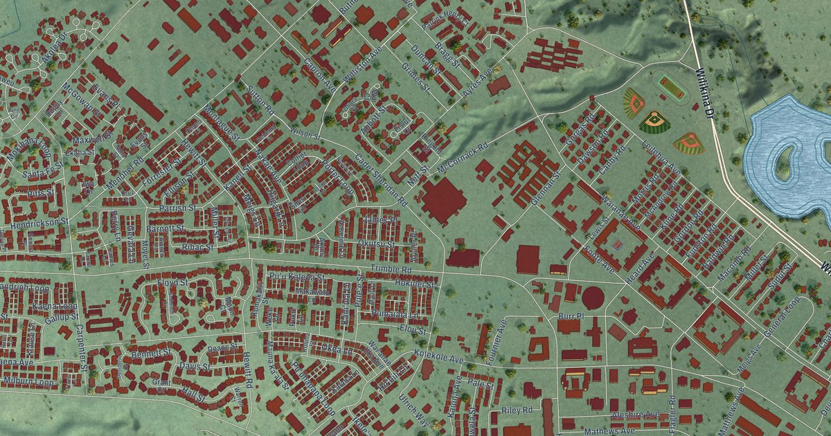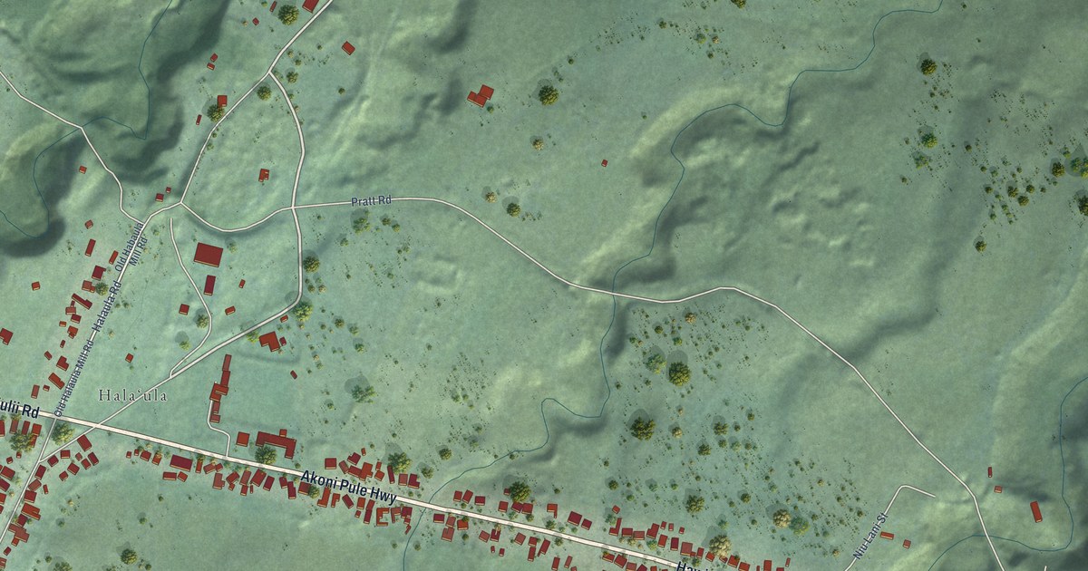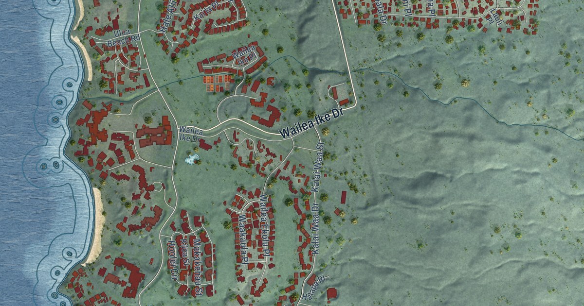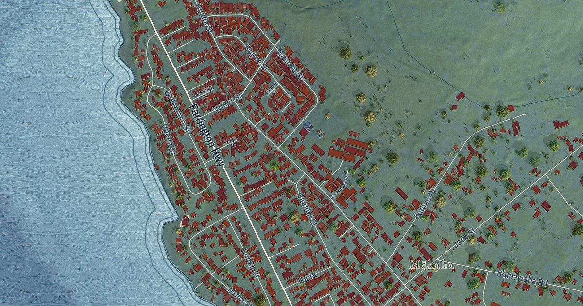
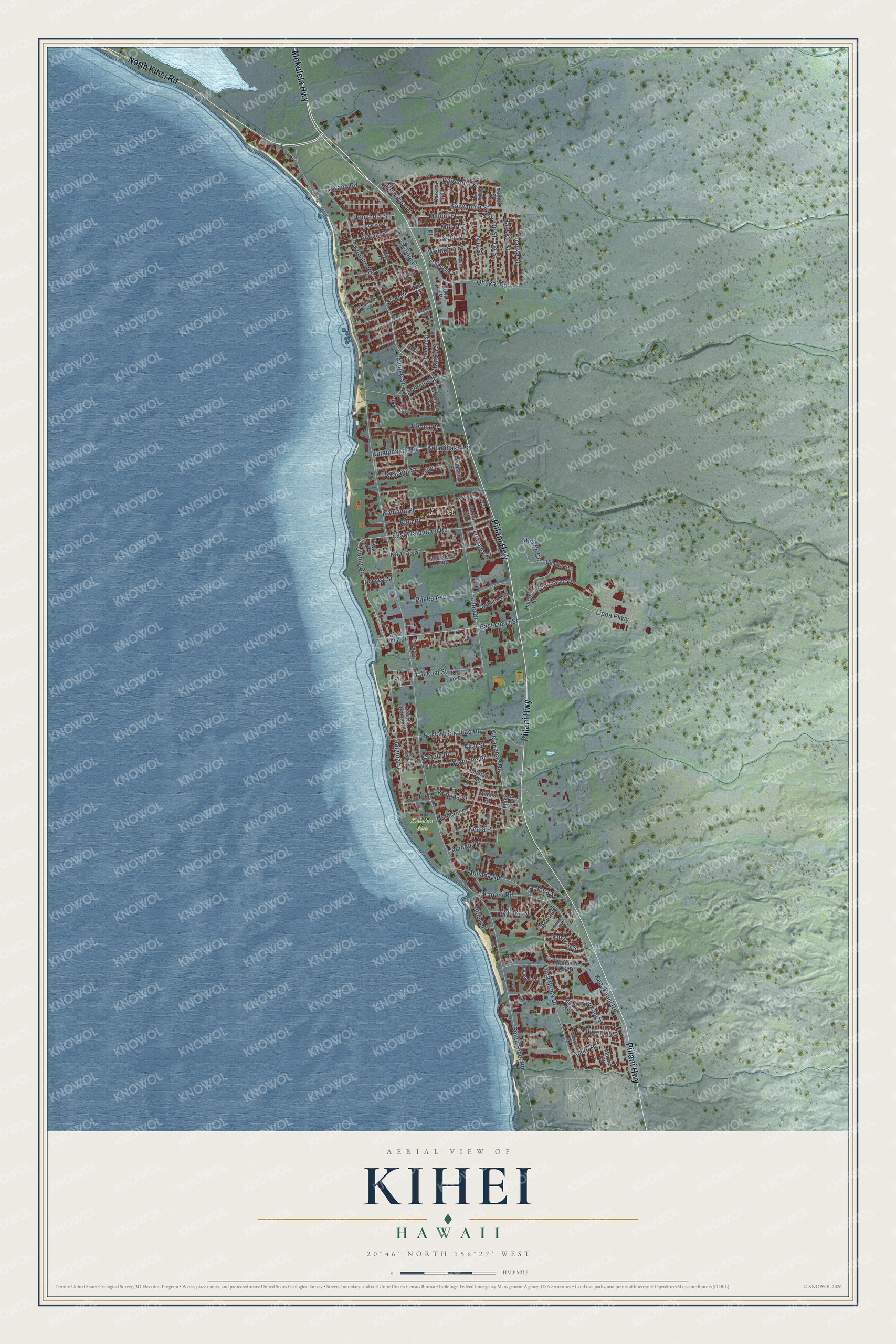
This beautifully detailed map of Kihei, Hawaii was created in 2026 using aerial imagery combined with modern topographical, census, street and landmark data. It’s a one-of-a-kind view of Kihei that combines accurate data with a vintage aesthetic. The map shows every building in its true location, many of the roads carry their names, and the shaded topographic relief shows the shape of the land.
Explore an aerial view of Kihei, Hawaii
On the map you’ll find Kīhei, Kalama Park, and Nehu Place, along with Piilani Highway, North Kihei Road, Mokulele Highway, Kenolio Road, Uluniu Road, East Lipoa Street, Lipoa Parkway, Kulipu’u Street, Kaiwahine Street, and more. If you look closely you can even find your house accurately drawn in its correct location. Zoom in on the preview to look for yours.
Did you know this about Kihei, Hawaii?
From Thrum's Hawaiian Annual: "A wharf has been constructed at the Kihei landing, which will prove of much convenience to the residents of that part of Maui."
Take a closer look at the Kihei map
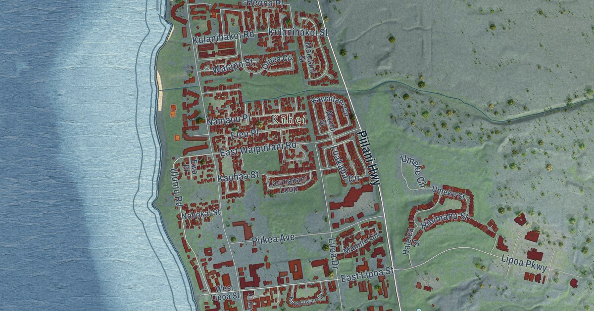
Street and place names on the Kihei, Hawaii map
These names are printed on the map of Kihei, Hawaii.
Places: Kīhei and Kalama Park.
Streets and roads: Piilani Highway, North Kihei Road, Mokulele Highway, Kenolio Road, Uluniu Road, East Lipoa Street, Lipoa Parkway, Kulipu'u Street, Nehu Place, Kaiwahine Street, Manini Place, South Kihei Road.
More street names, A to Z
Ahaaina Way, Akai Street, Alahele Place, Alaku Place, Alanui Ke Ali'i Drive, Aliilani Place, Alulike Street, Aluna Place, Anapa Place, Auhana Road, Auina Place, Awa Place, De Street, East Waipuilani Road, East Welakahao Road, Ehiku Loop, Eleu Place, Ewa Place, Halalai Street, Halama Street, Hale Kai Street, Halekuai Street, Halelani Place, Halelea Street, Halili Lane, Halona Street, Hao Street, Heona Place, Hihimanu Street, Hoalike Street, Honuea Place, Honuhula Street, Huaka Street, Huku Lii Place, Humubea Place, Iliili Road, Ilikai Street, Iliwai Loop, Kahele Place, Kai Ani Lane, Kaihoi Street, Kaikea Street, Kai Makani Loop, Kaiola Place, Kaiola Street, Kaiolohia Street, Kanakanui Road, Kanani Road, Kaneapua Lane, Kaonoulu Street, Kauhaa Street, Kawailani Circle, Keala Place, Kinaole Circle, Kio Loop, Koki Place, Koki Street, Kulanihakoi Road, Kulanihakoi Street, Kupalaiki Loop, Kupuna Street, Laukahi Street, Laumakani Loop, Liloa Drive, Liloa Hema Drive, Luakaha Circle, Mahina Street, Malimali Street, Malulani Street, Manino Circle, Mehani Place, Moana Avenue, Moi Place, Moolio Place, Namauu Place, Noe Street, Nohokai Street, Noolu Street, North Alaniu Place, Oe Street, Ohukai Road, Oio Place, Olani Place, Oluea Circle, Omiko Place, Paka Place, Palanehe Street, Papau Street, Pa Street, Pauloa Place, Piikea Avenue, South Alaniu Place, Uilani Street, Umeke Circle, Umeke Street, Uwapo Road, Waiapo Street, Waimahaihai Street, Wainohia Street, Waipahe Place, Walaka Street, Welakahao Road, West Lipoa Street.
See the Kihei, Hawaii map on a wall
The Kihei map as an 18 x 24 inch print in a black frame.

This beautifully detailed map of Kihei makes an attractive addition to your office, library, or den, and it can even be used to teach children the geography and history of the area. It also makes a great gift for anyone who grew up in Kihei or moved away. When you’re done exploring, click here to get your copy of the Kihei map.